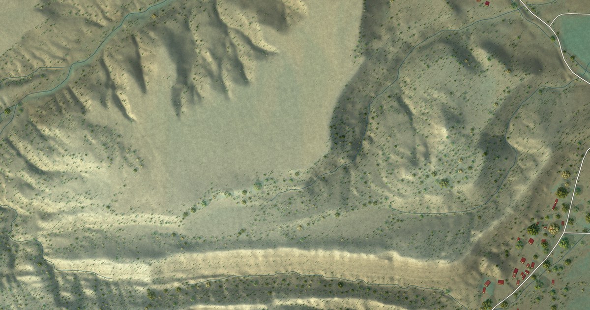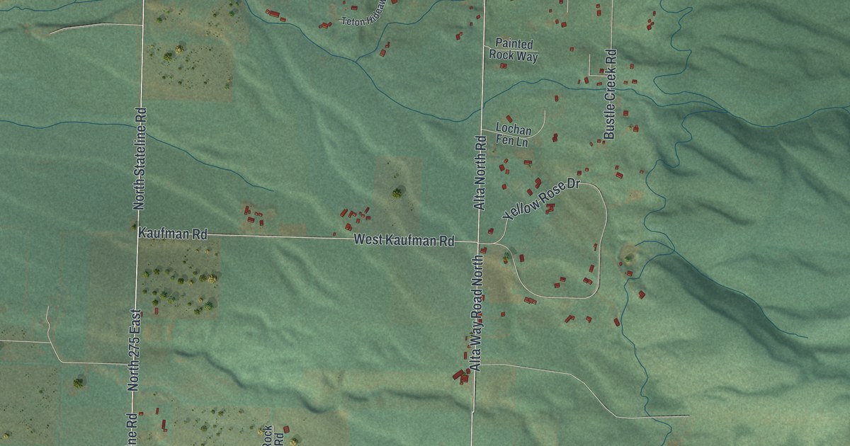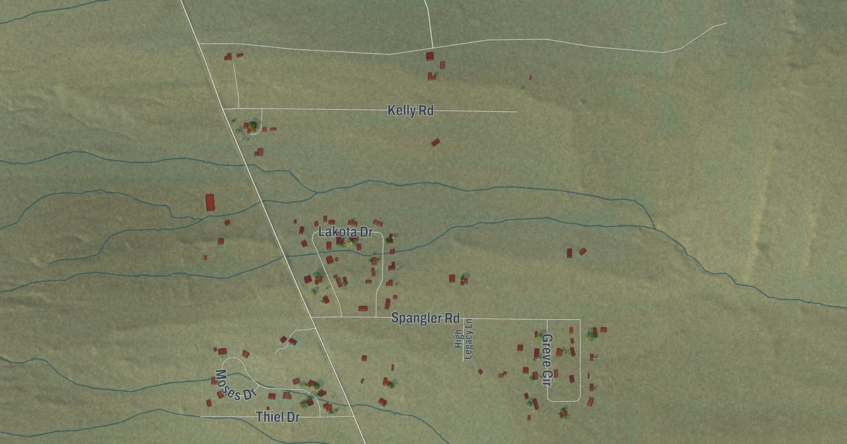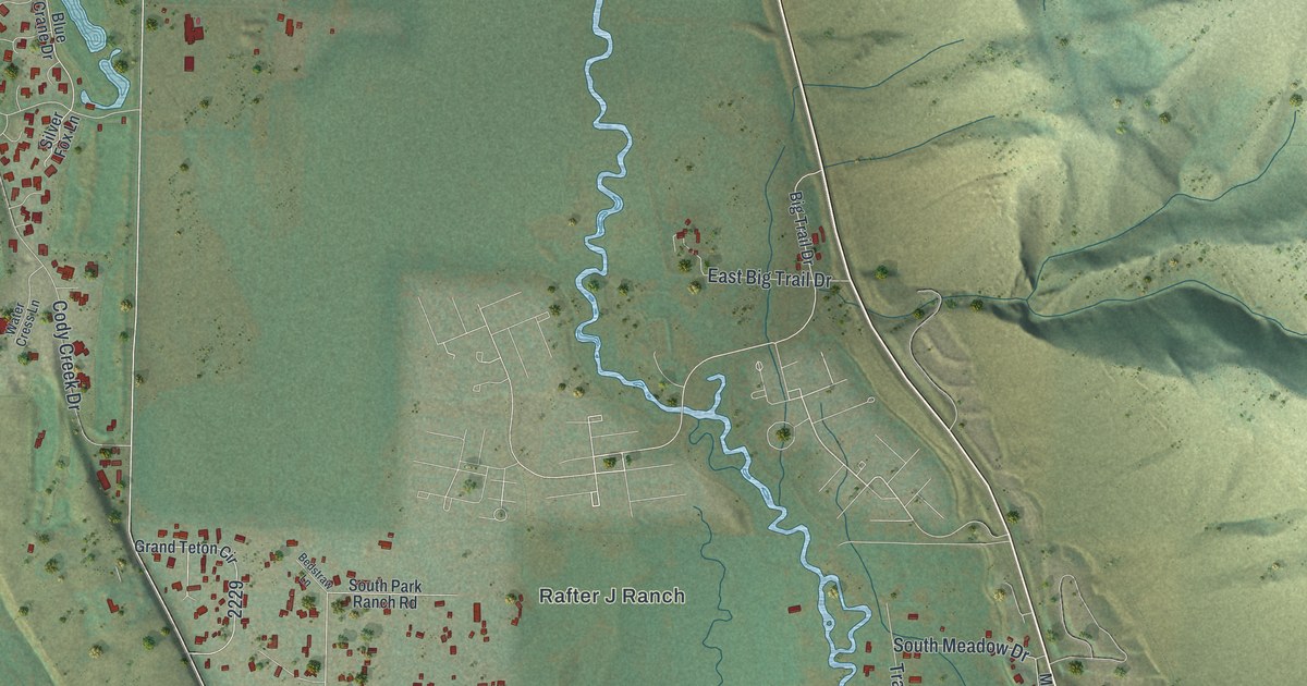
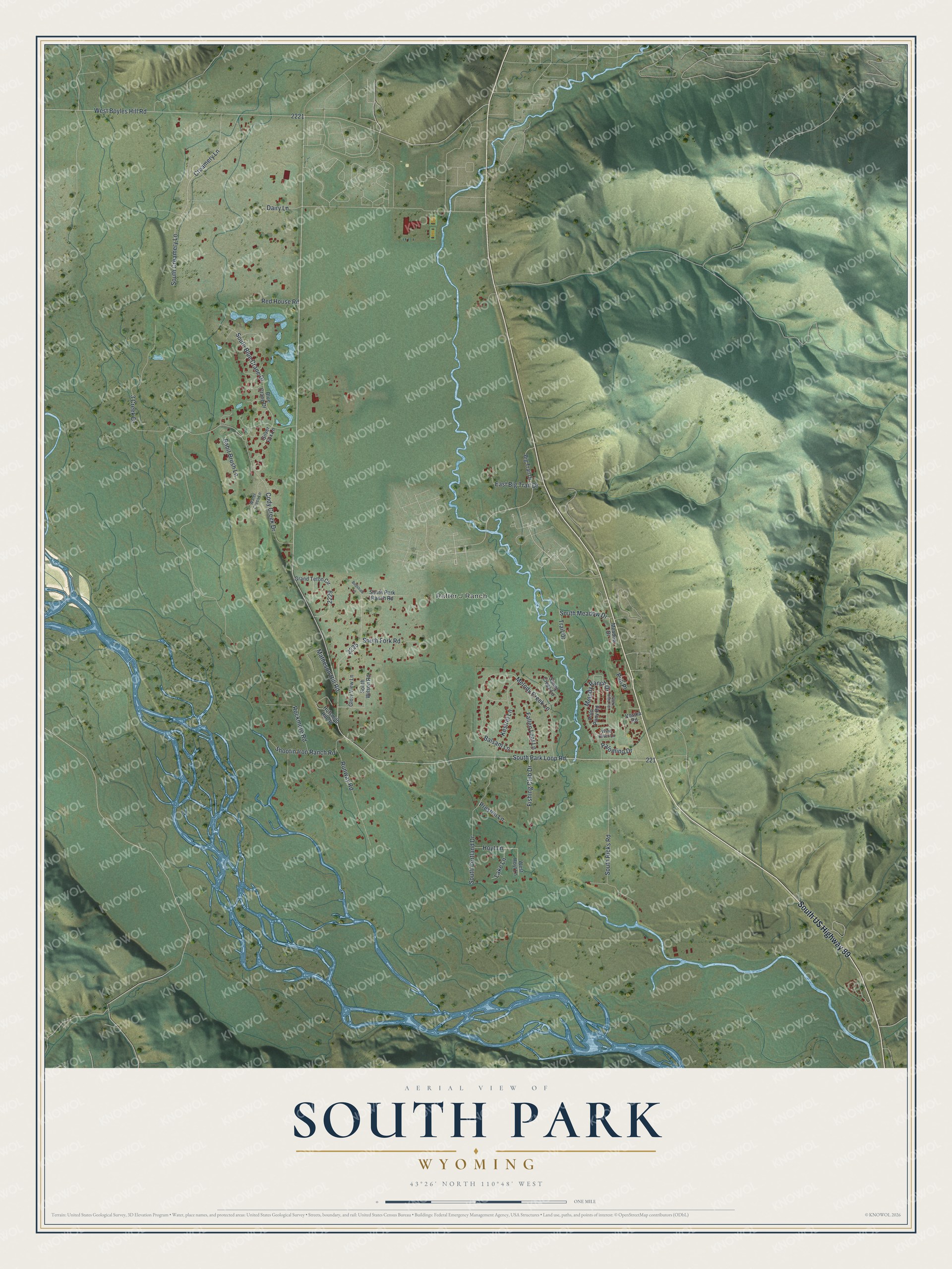
This beautifully detailed map of South Park, Wyoming was created in 2026 using aerial imagery combined with modern topographical, census, street and landmark data. It’s a one-of-a-kind view of South Park that combines accurate data with a vintage aesthetic. The map shows every building in its true location, many of the roads carry their names, and the shaded topographic relief shows the shape of the land.
Explore an aerial view of South Park, Wyoming
On the map you’ll find Rafter J Ranch, along with South US Highway 89, South Park Loop Road, 3 Creek Drive, West Boyles Hill Road, South Creamery Lane, Creamery Lane, Melody Creek Lane, Melody Ranch Drive, South Cortland Drive, Cody Creek Drive, South Ricks Road, and more. If you look closely you can even find your house accurately drawn in its correct location. Zoom in on the preview to look for yours.
Did You Know?
Jackson Hole's first school met in 1892 in Sylvester Wilson's cabin in South Park, where Henry Johnson, the valley's first schoolteacher, taught 15 students. After Sylvester died, the people of South Park finished Jackson Hole's first schoolhouse in his honor. Children got to school on skis or in a covered wagon set on sleigh runners that locals called the school bus. That's from the History Jackson Hole museum.
Take a closer look at the South Park map
Names on this map
These names are printed on this map.
Places: Rafter J Ranch.
Streets and roads: South US Highway 89, South Park Loop Road, 3 Creek Drive, West Boyles Hill Road, South Creamery Lane, Creamery Lane, Melody Creek Lane, Melody Ranch Drive, South Cortland Drive, Cody Creek Drive, South Ricks Road, South Blue Crane Drive.
More street names, A to Z
Balsam Lane, Bedstraw Lane, Big Trail Drive, Blue Crane Drive, Dairy Lane, East Big Trail Drive, Fallen Leaf Lane, Fishing Club Drive, Glory View Lane, Glory Vista Terrace, Grand Teton Circle, Hoyt Lane, Hufsmith Hill Road, Kestrel Lane, Lake Lane, Matheson Hill Road, Meadow Drive, Palomino Drive, Polo Pony Road, Preston Lane, Pub Place, Rabit Brush Lane, Red House Road, Rockmore Road, Runway Road, Sandy Creek Lane, Shootin Iron Ranch Road, Silver Fox Lane, South Fork Road, South Meadow Drive, South Park Ranch Road, South Wilson Road, Trail Drive, Vosika Road, Water Cress Lane, West Hoyt Lane, Wind River Lane.
See it on a wall
The South Park map as a framed print. Swipe for more.


This beautifully detailed map of South Park makes an attractive addition to your office, library, or den, and it can even be used to teach children the geography and history of the area. It also makes a great gift for someone who left South Park and still calls it home. When you’re done exploring, click here to get your copy of the South Park map.