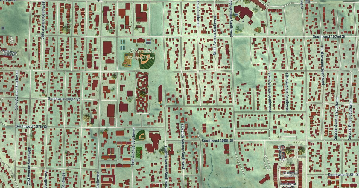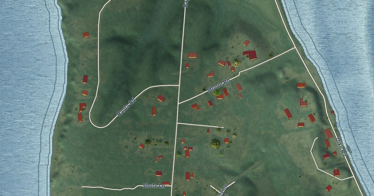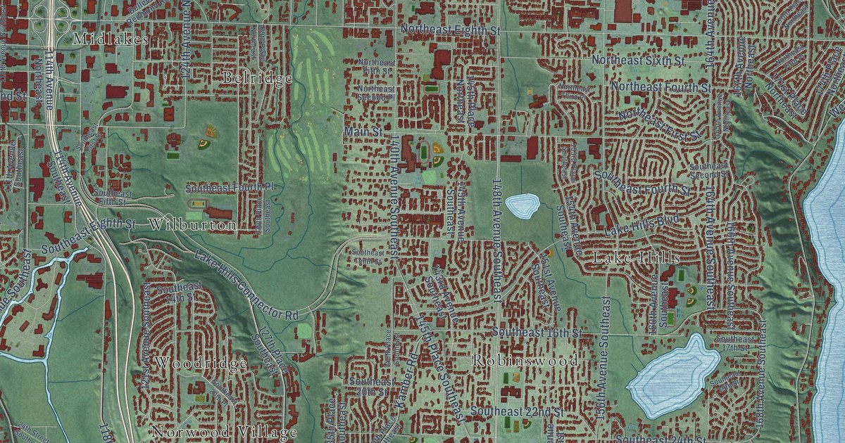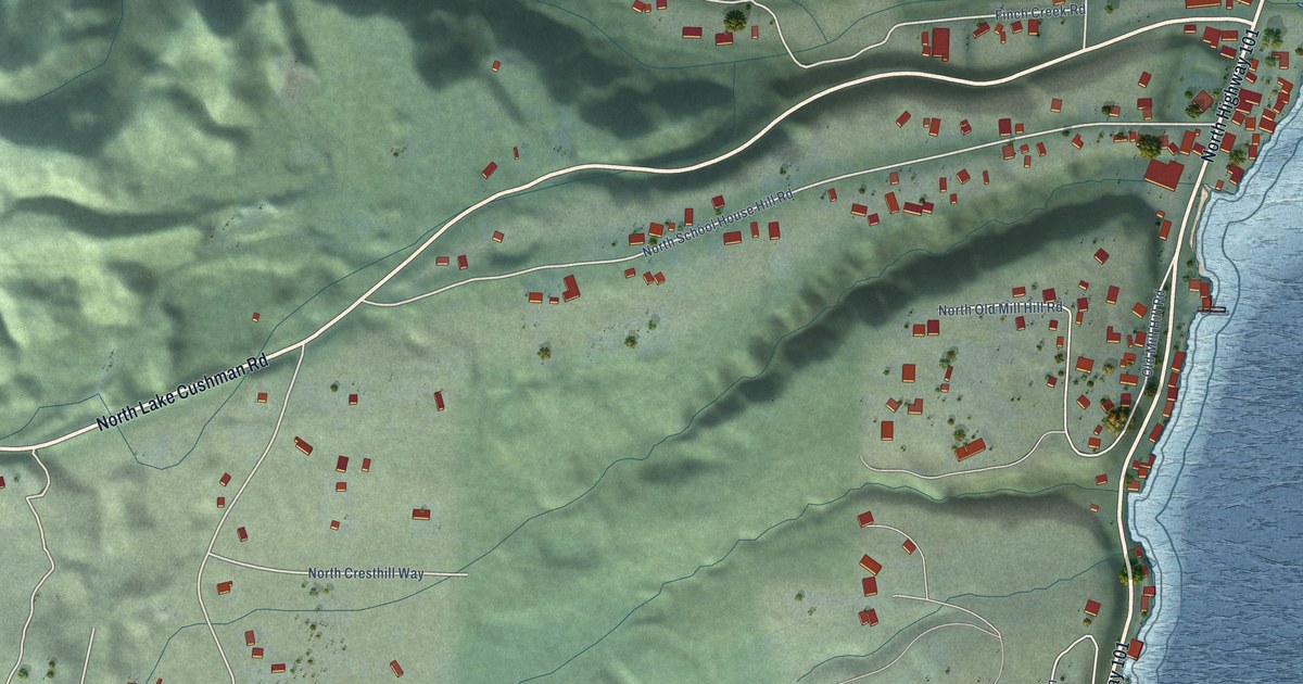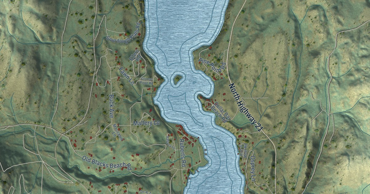
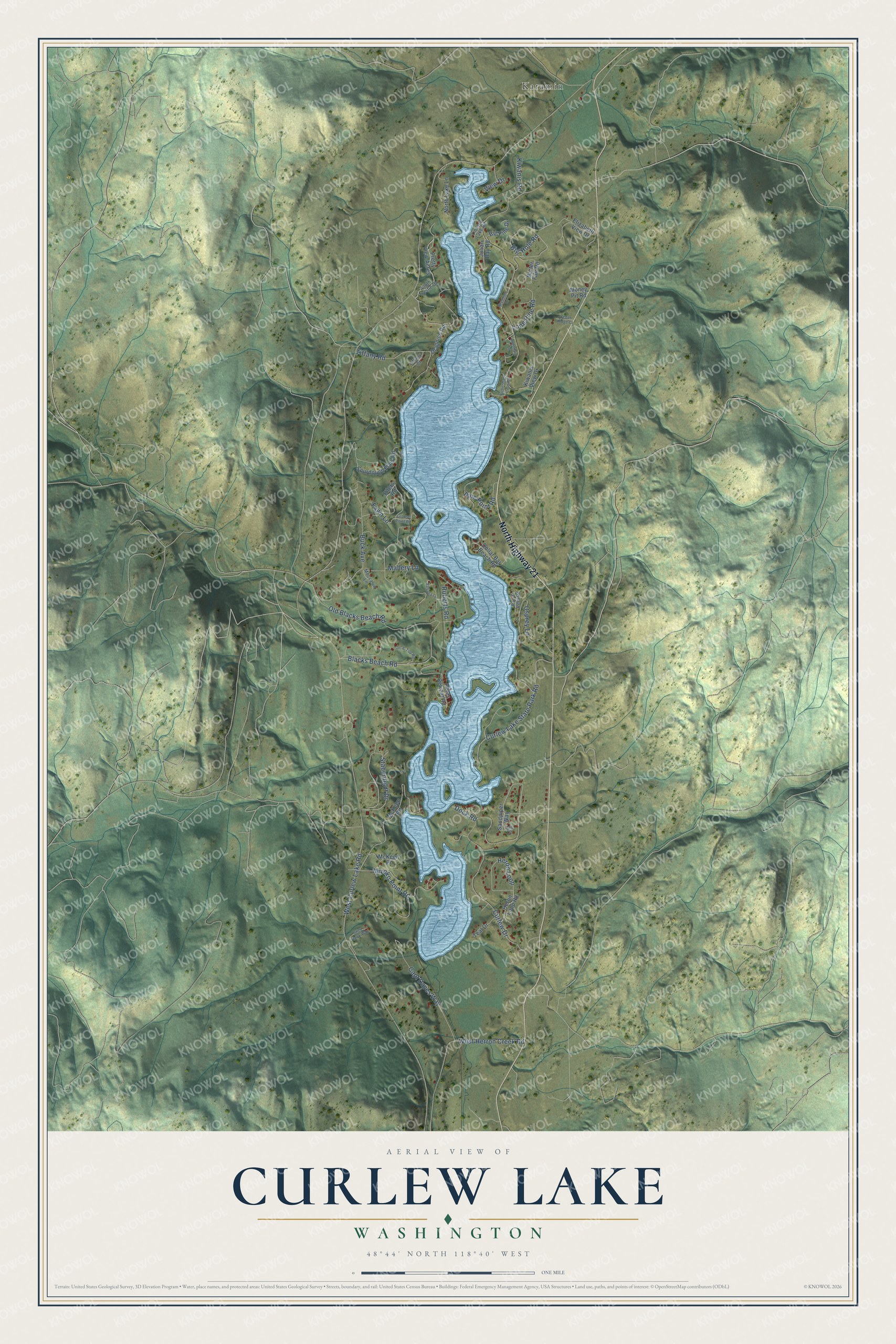
This beautifully detailed map of Curlew Lake, Washington was created in 2026 using aerial imagery combined with modern topographical, census, street and landmark data. It's a modern aerial view of Curlew Lake in Ferry County, Washington, that combines modern data with a vintage aesthetic. The roads feature printed names, and if you look closely you can find your exact house accurately shown in its correct location.
Explore an aerial view of Curlew Lake, Washington
On this map you'll find Karamin, North Highway 21, Big Hole Road, West Curlew Lake Road, Kiwanis Road, Curlew Drive, Old Blacks Beach Road, Buck Avenue, West Herron Creek Road, Capt Daves Way, Blacks Beach Road, Heron Loop, and more. Each red shape is a building, so zoom in on the preview and look for yours.
Curlew Lake has a story worth telling. The land around Curlew Lake is the traditional territory of Interior Salish-speaking people whose descendants include members of the Confederated Tribes of the Colville Reservation. Local Indigenous people harvested a freshwater mussel found in the lake. Curlew Lake was part of the Colville Reservation until 1892, when the north half was taken away after prospectors found gold. Tribal members kept the right to hunt and fish on the former north half. Government surveyors in 1896 marked the lake as Karamip Lake. That's from the Washington State Parks history pages.
Curlew Lake is a community in Ferry County. The Census Bureau counted 512 people here in 2020.
Take a closer look at the Curlew Lake map
Names on this map
These names are printed on this map.
Places: Karamin.
Streets and roads: North Highway 21, Big Hole Road, West Curlew Lake Road, Kiwanis Road, Curlew Drive, Old Blacks Beach Road, Buck Avenue, West Herron Creek Road, Capt Daves Way, Blacks Beach Road, Heron Loop, Osprey Lane.
More street names, A to Z
Ardohain Lane, Barter Fair Road, Big Pine Drive, Bremner Lane, Cedar Ridge Court, Curlew Lake State Park Road, Dock Road, Dollar Bar Beach Road, Dragnich Road, Eilers Road, Elizabeth View Drive, Fawn Lane, Fishermans Cove Road, Grey Hawk Way, Grouse Point Road, Heron Loop Road, Ibis Court, Julian Bay Road, Kiwanis View Drive, Lindsey Lake Road, Lone Pine Road, Mallery Lane, McKeen Place, McKeen Road, Miyoko Point Road, Moccasin Lane, Money Pit Road, North Lake Lane, On-A-Top Road, Petes Retreat Road, Pine Point Road, Pretty View Acres, Rod & Reel Road, Ruberts Road, Saljana Lane, Sandpiper Way, Sourdough Flats Road, South Trestle Drive, Stabenfeldt Drive, Teal Drive, Tiffany Court, Tiffany Road, View Drive.
See it on a wall
The Curlew Lake map as a framed print. Swipe for more.


Created by KNOWOL in 2026. The buildings are small red shapes, the roads carry their printed names, and shaded relief shows the shape of the land. The title panel reads "AERIAL VIEW OF CURLEW LAKE, WASHINGTON" with 48°44' NORTH 118°40' WEST.
It looks right in a kitchen, an office or a den, and it's a gift for anyone who grew up in Curlew Lake or moved away. Open the preview and find your street. See sizes and frames for the Curlew Lake map.