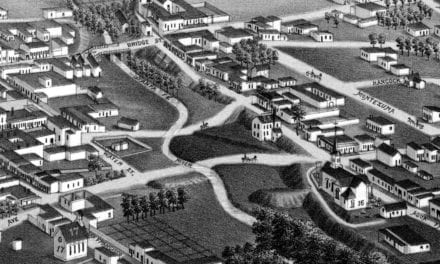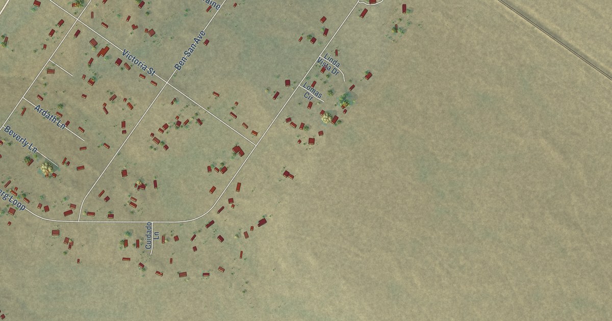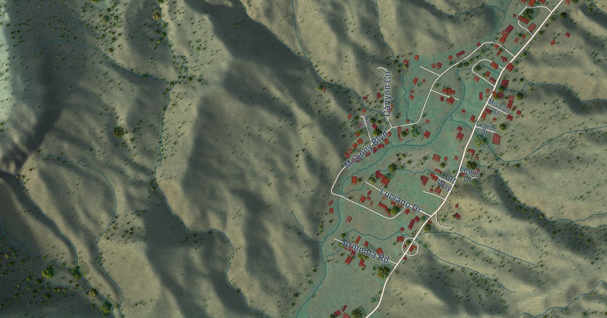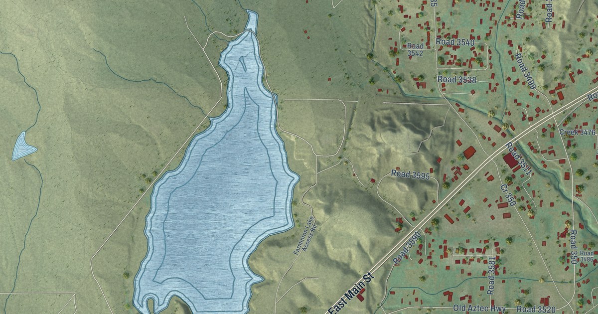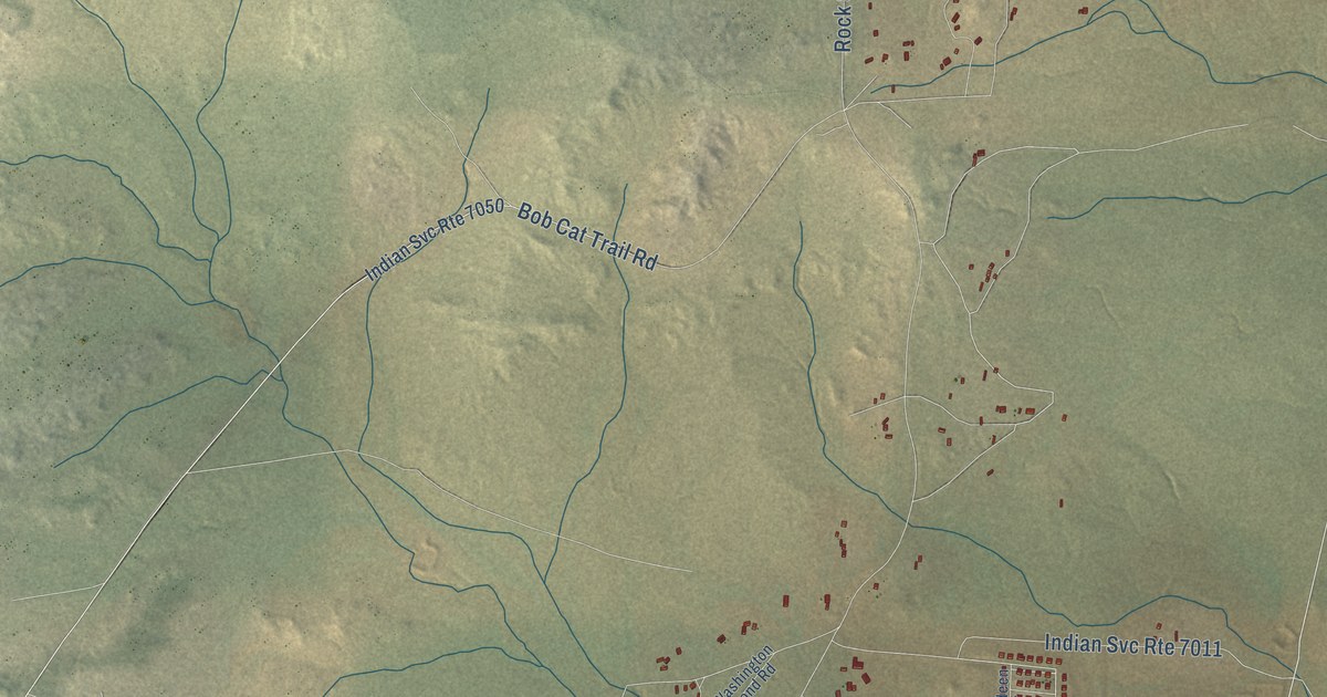
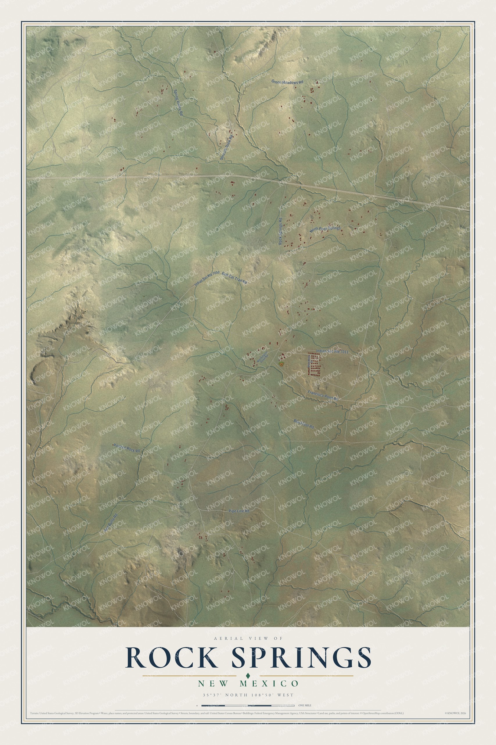
This beautifully detailed map of Rock Springs, New Mexico was created in 2026 using aerial imagery combined with modern topographical, census, street and landmark data. It's a modern aerial view of Rock Springs in McKinley County, New Mexico, that combines modern data with a vintage aesthetic. The roads feature printed names, and if you look closely you can find your exact house accurately shown in its correct location.
Explore an aerial view of Rock Springs, New Mexico
On this map you'll find Rock Springs Road, Pipe Line Road, Green Meadows Road, Spring Valley Road, Red Butte Road, Bob Cat Trail Road, Blackfoot Road, Pointed Rock Road, Francisco Pond Road, North Rock Springs, Smooth Rock Road, Washington Pond Road, and more. Each red shape is a building, so zoom in on the preview and look for yours.
Rock Springs has a story worth telling. The Navajo name for Rock Springs means Rough Rock, and a more recent name means Spring Under the Rock. The old ranch there, a historic landmark, includes the buildings of a trading post on the 1850s military trail between Fort Wingate and Fort Defiance. From the site of present Gallup, the old trail went north to China Springs and then west to Rock Springs on its way toward Window Rock. That's from the Navajo Places author Laurance Linford.
Rock Springs is a community in McKinley County. The Census Bureau counted 807 people here in 2020.
Take a closer look at the Rock Springs map
Names on this map
These names are printed on this map.
Streets and roads: Rock Springs Road, Pipe Line Road, Indian Svc Route 7011, Green Meadows Road, Spring Valley Road, Red Butte Road, Bob Cat Trail Road, Blackfoot Road, Pointed Rock Road, Francisco Pond Road, North Rock Springs, Smooth Rock Road.
More street names, A to Z
Indian Svc Route 7050, Shondeen Drive, Washington Pond Road.
See it on a wall
The Rock Springs map as a framed print. Swipe for more.


Created by KNOWOL in 2026. The buildings are small red shapes, the roads carry their printed names, and shaded relief shows the shape of the land. The title panel reads "AERIAL VIEW OF ROCK SPRINGS, NEW MEXICO" with 35°37' NORTH 108°50' WEST.
It looks right in a kitchen, an office or a den, and it's a gift for anyone who grew up in Rock Springs or moved away. Open the preview and find your street. See sizes and frames for the Rock Springs map.