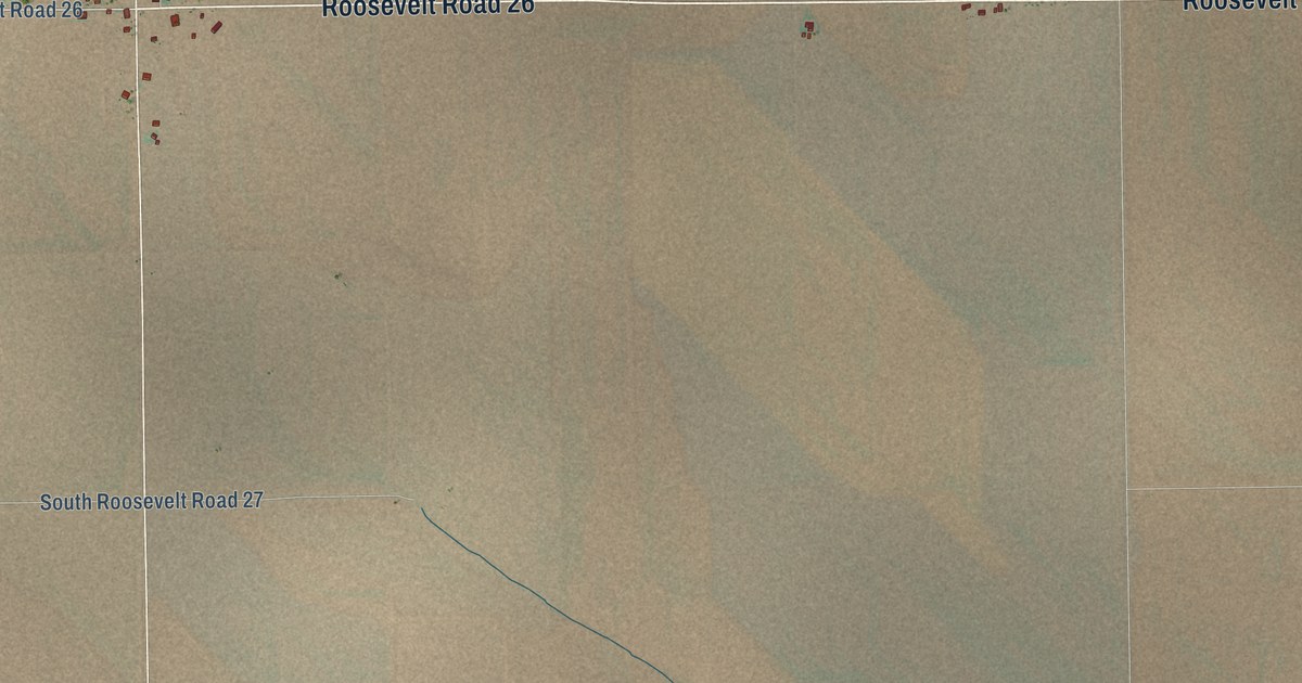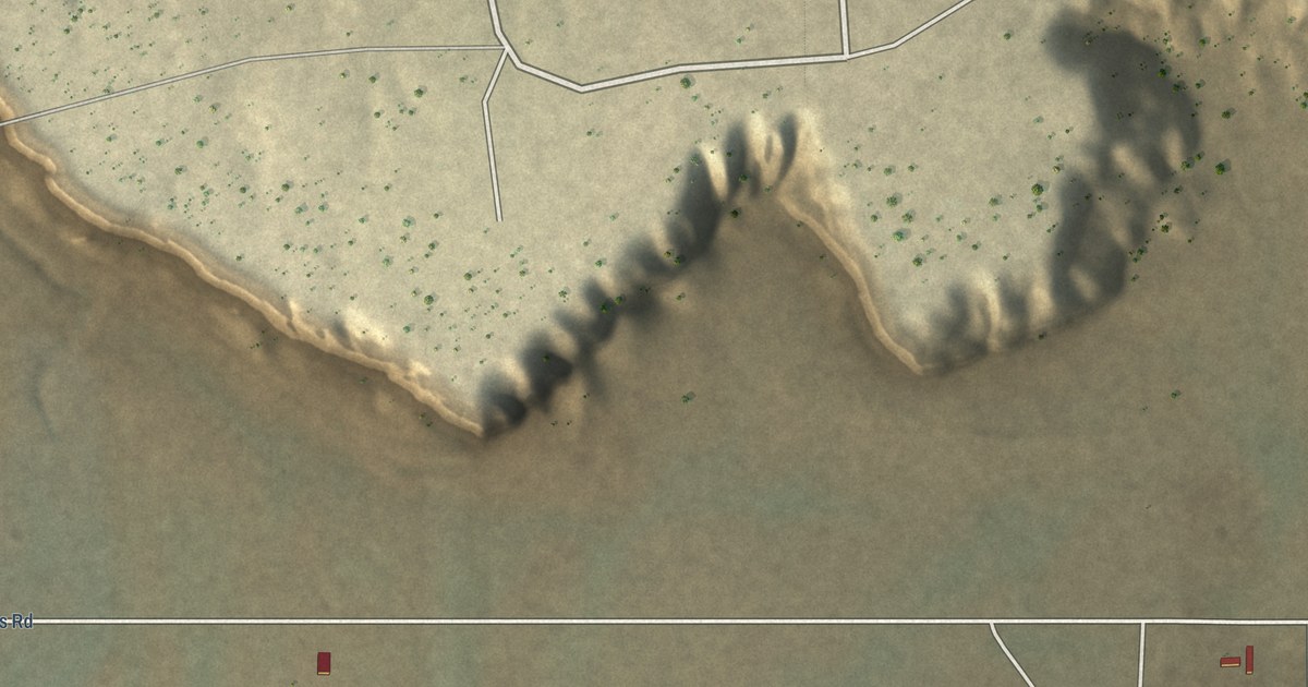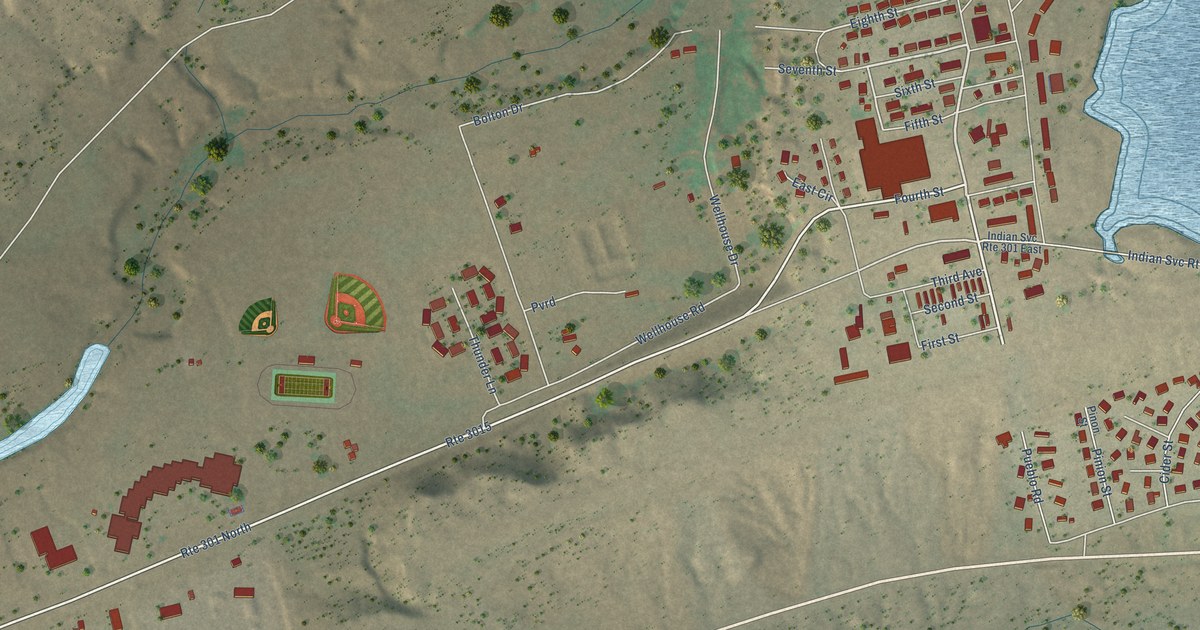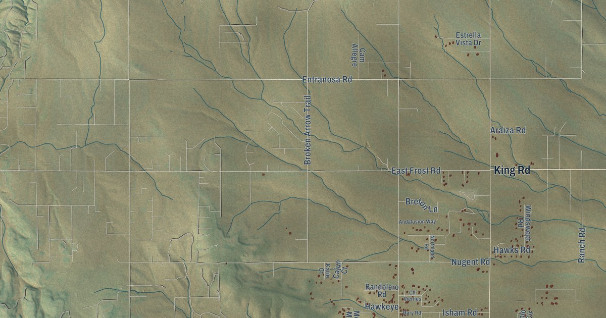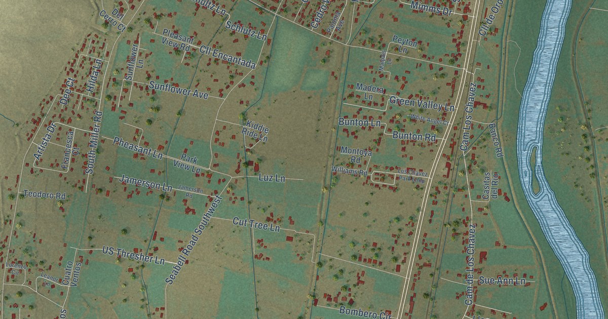
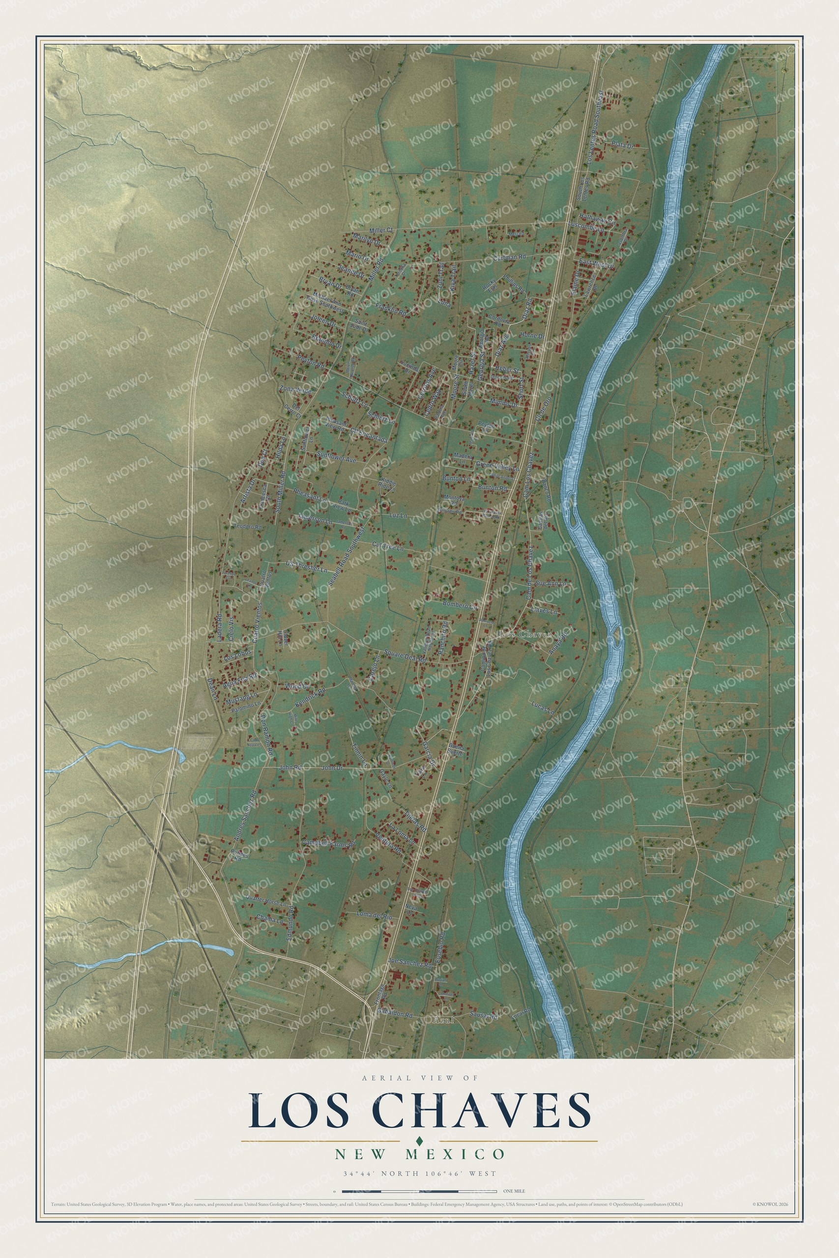
This beautifully detailed map of Los Chaves, New Mexico was created in 2026 using aerial imagery combined with modern topographical, census, street and landmark data. It's a modern aerial view of Los Chaves in Valencia County, New Mexico, that combines modern data with a vintage aesthetic. The roads feature printed names, and if you look closely you can find your exact house accurately shown in its correct location.
Explore an aerial view of Los Chaves, New Mexico
On this map you'll find Azul, Los Chavez, Diaz Avenue, Diaz Road, Andres Sanchez Road, Luscombe Lane, Heber Street, Artista Drive, Dean Lane, Cuatro Vientos, John Drive, Cam de Los Chavez, and more. Each red shape is a building, so zoom in on the preview and look for yours.
Every town has a first chapter, and Los Chaves is no exception. Dennis Chavez, who served New Mexico for 2 years in the U.S. House and 27 years in the Senate, was born on April 8, 1888, in a small adobe house in the village of Los Chaves. The village is named after his ancestors, and his parents came from families that had lived there for generations. His family spoke only Spanish, and in 1895 they moved to the Barelas part of Albuquerque so the children could get a better education. That's from the U.S. Congress.
Los Chaves is a community in Valencia County. The Census Bureau counted 4,997 people here in 2020.
Take a closer look at the Los Chaves map
Names on this map
These names are printed on this map.
Places: Azul and Los Chavez.
Streets and roads: Diaz Avenue, Diaz Road, Andres Sanchez Road, Luscombe Lane, Heber Street, Artista Drive, Dean Lane, Cuatro Vientos, John Drive, Cam de Los Chavez, Cam Los Chavez, Hazel Street.
More street names, A to Z
Agua Fria Road, Allsups Circle, Anaya Road, Banco Road, Bombero Circle, Brandon Drive, Bryan Drive, Bryan Road, Buena Suerte, Bunton Lane, Bunton Road, Camino de Los Chavez Road, Cam Nopales, Campbell Farms Road, Carejo Lane, Casitas del Rio, Cedro Way, Cerritos Avenue, Chama Lane, Cielo Vis, Cll de Oro, Cll Encantada, Clover Hill Lane, Cordovia Road, Cuatro Ventos, Curfman Road, Cut Tree Lane, Damacio Lane, Dee Court, Del Cerro Court, Dolores Road, Don Ramon Road, East West Drive, Edmundo Road, Elaine Drive, Eusebio Road, Francesca Court, Franklin Road, Frontage Road, Gabaldon Road, Garcia Drive, Gayle Lane, Georgia Road, Georgia Street, Green Valley Lane, Hathaway Circle, Hilda Lane, Horne Drive, Jamerson Lane, Jamerson Road, Jeanne Drive, Jennifer Lane, Joe Sanchez Road, John Road, Joleen Drive, Kathleen Drive, Kendrick Road, Kiddie Ride Lane, Kiva Trail, Ladera Road, La Loma Lane, Lasombra Drive, Lawrence Drive, Leanor Lane, Llaves Lane, Local Road, Loma del Rio, Lorenzo Circle, Los Chavez Loop, Los Chavez Park Loop, Los Lentes Road Southeast, Los Lobos, Lucas Lane, Lucian Lane, Lucinda Drive, Luna, Luz Lane, Madera Lane, Malpais Lane, Marilyn Drive, Mario Drive, Marmon Lane, Melvin Sanchez Road, Merced, Michael Ann Drive Southwest, Mile High Court, Miller Court, Miller Road, Mimms Drive, Montoya Road, Moore Circle, Moore Street, Mustang Lane, Neva Lane, Paloma Avenue, Palomino Lane, Park View Lane, Peyton Lane, Peyton Road, Pheasant Lane, Phillips Road, Plata Drive, Pleasant View Road, Quarter Horse Lane, Ranchito Road, Rocky Ests, Rundes Road, Saint Jude Drive, Sausal Road, Schlutz Lane, Schultz Lane, Seabell Road Southwest, Short Street, South Hazel, South Los Lentes Road, South Miller Road, Square Deal Road, Sue Ann Lane, Sunflower Avenue, Sunflower Lane, Tatonka Drive, Teodoro Road, Tiara Lane, Tijeras Road, Tinnin Lane, US Thresher Lane, Vallejos Road Northeast, Ventura Road, White Angel Court, Williams Road, Wood Drive, Zona Verde, Zuni Trail.
See it on a wall
The Los Chaves map as a framed print. Swipe for more.


Created by KNOWOL in 2026. The buildings are small red shapes, the roads carry their printed names, and shaded relief shows the shape of the land. The title panel reads "AERIAL VIEW OF LOS CHAVES, NEW MEXICO" with 34°44' NORTH 106°46' WEST.
Hang it in the hallway, the office or the cabin, or give it to someone who left Los Chaves and still calls it home. Open the preview and look for a street you know. See sizes and frames for the Los Chaves map.