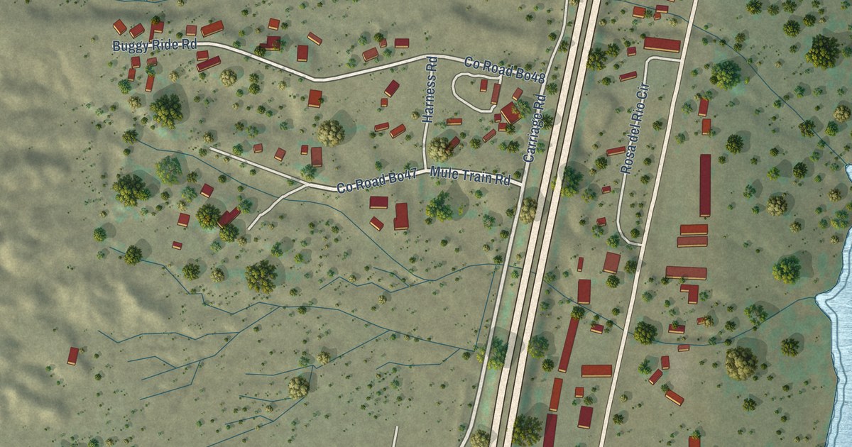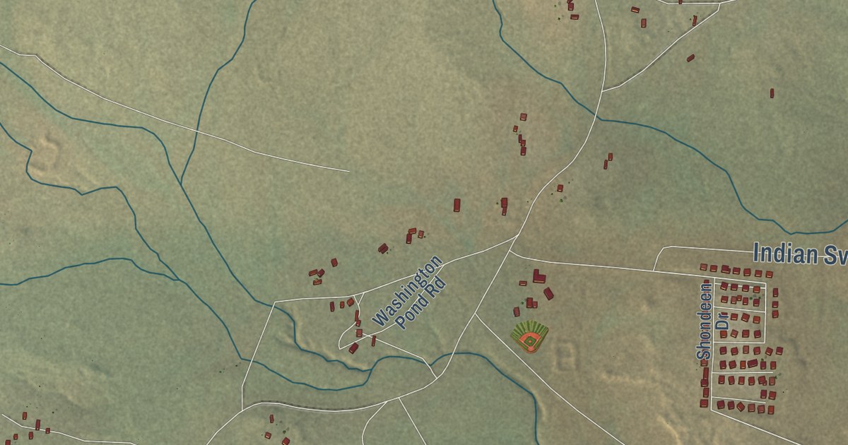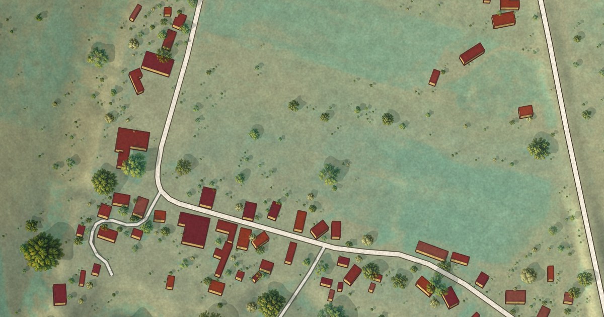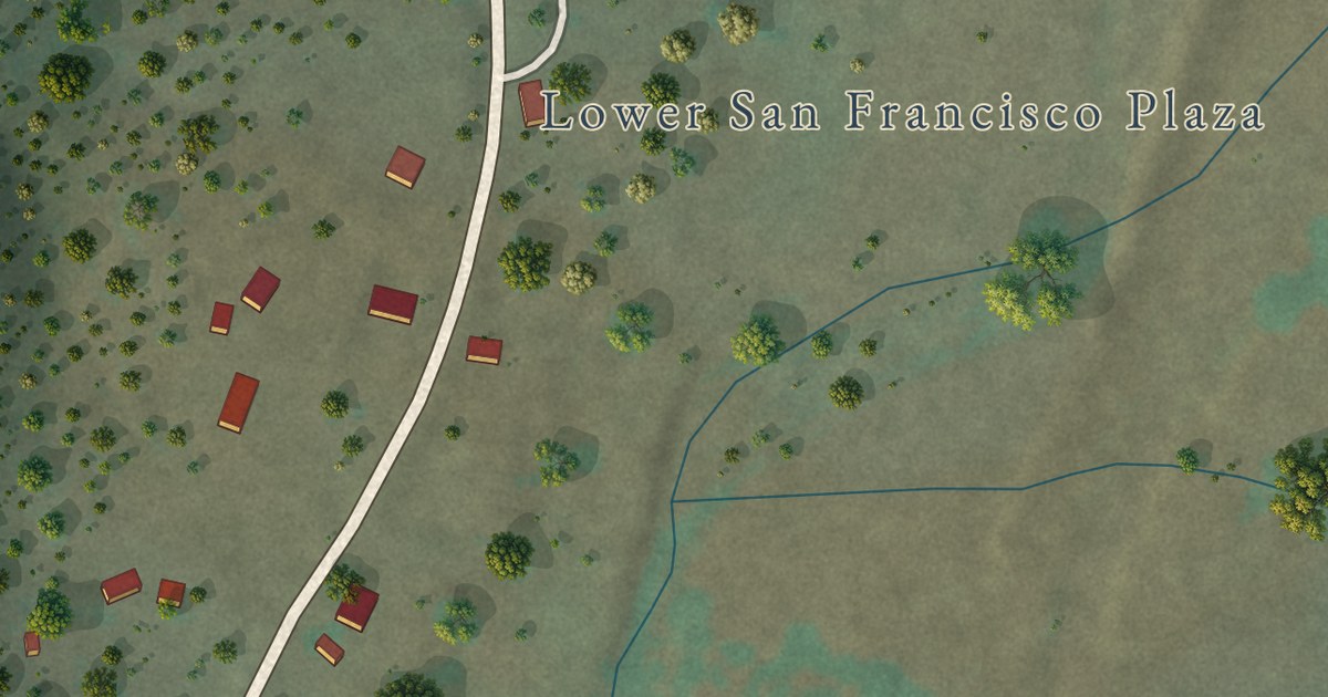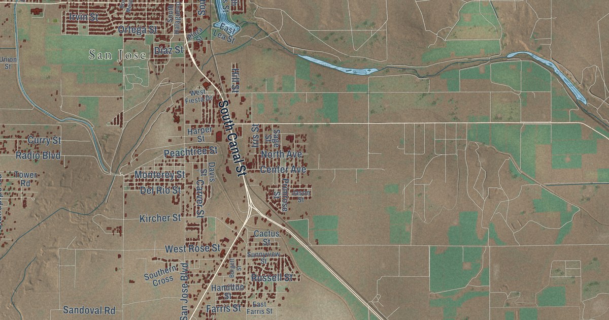
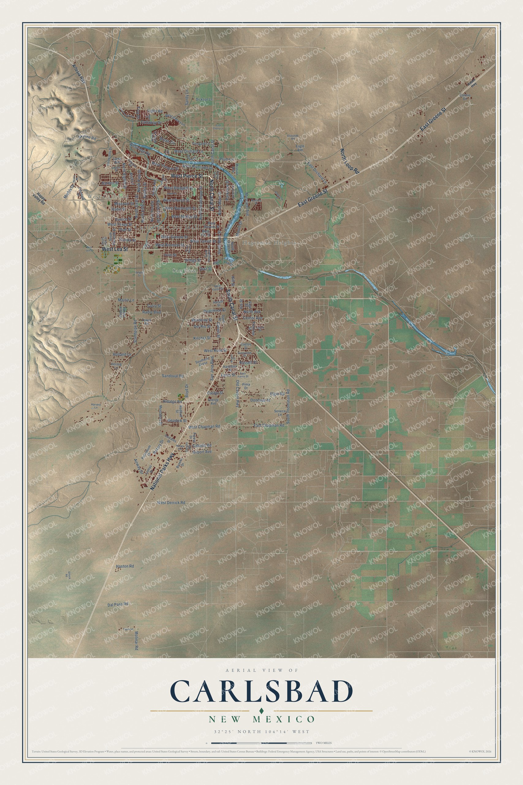
This beautifully detailed map of Carlsbad, New Mexico was created in 2026 using aerial imagery combined with modern topographical, census, street and landmark data. It’s a one-of-a-kind view of Carlsbad that combines accurate data with a vintage aesthetic. The map shows every building in its true location, many of the roads carry their names, and the shaded topographic relief shows the shape of the land.
Explore an aerial view of Carlsbad, New Mexico
On the map you’ll find Carlsbad City Hall, West Carlsbad, Hagerman Heights, and San Jose, along with National Parks Highway, West Pierce Street, South Canal Street, North Canal Street, East Greene Street, West Lea Street, North Loop Road, West Derrick Road, and more. If you look closely you can even find your house accurately drawn in its correct location. Zoom in on the preview to look for yours.
Did you know this piece of Carlsbad, New Mexico history?
From the New Mexico Tourism Department: "Eddy founded the town, which was originally named after the rancher but later changed its name to Carlsbad after a famous European spa. However, the county retained the name Eddy in honor of Charles."
Take a closer look at the Carlsbad map
Street and place names on the Carlsbad, New Mexico map
These names are printed on the map of Carlsbad, New Mexico.
Places: Carlsbad City Hall, West Carlsbad, Hagerman Heights and San Jose.
Streets and roads: National Parks Highway, West Pierce Street, South Canal Street, North Canal Street, East Greene Street, West Lea Street, North Loop Road, West Derrick Road, North Main Street, South Main Street, South Thomason Road, Boyd Drive.
More street names, A to Z
Airport Avenue, Airway Drive, Artesia Highway, Birch Lane, Brooks Drive, Bryan Circle, Burgett Street, Caballo Road, Cactus Street, Callaway Drive, Camp Avenue, Carlgo Street, Carver Street, Center Avenue, Concho Road, Connie Drive, Corrales Drive, Curry Street, Dal Paso Road, Davis Street, Del Rio Street, Desert Willow Drive, Diaz Street, Dickson Lane, Doepp Drive, Donovan Street, Eagle Avenue, East Chapman Road, East Cherry Lane, East Farris Street, East Lea Street, East Orchard Lane, East Riverside Drive, Elgin Road, Elizondo Road, Energy Avenue, Eunice Street, Farris Street, Florida Street, Forest Drive, Fountain Drive, Garden Street, Gillock Road, Hamilton Street, Happy Valley Road, Harper Street, Harvest Lane, Haston Road, Hays Drive, Herzog Lane, Hidalgo Road, Hill Street, Hobbs Highway, Holland Lane, Idaho Street, Iris Street, Irvin Street, Jason Street, Julian Street, Kircher Street, Lamont Street, Leavel Drive, Legion Street, Lera Circle, Ligon Road, Lomas Drive, Malaga Avenue, Martin Lane, Masters Drive, Meadow Street, Mescalero Street, Miehls Drive, Miehls Road, Mission Avenue, Missouri Street, Molinar Road, Monterey Street, Moore Drive, Muscatel Avenue, North Avenue, North Eddy Street, North Eighth Street, North Fifth Street, North First Street, North Guadalupe Street, North Pate Street, North Sixth Street, North Third Street, Old Cavern Highway, Ortega Street, Osborne Road, Park Drive, Parkview Street, Peachtree Street, Pebble Hill Road, Petroleum Drive, Pima Drive, Plaza Street, Plum Lane, Primrose Street, Quail Hollow Run, Radio Boulevard, Redbud Street, Ridgecrest Drive, Rotary Drive, Russell Street, Sage Street, Sandia Street, Sandoval Road, Sandy Lane, San Jose Boulevard, Seneca Lane, Skyline Road, Solana Road, South 14th Street, South Eleventh Street, Southern Cross, South Halagueno Street, South James Street, South Mesa Street, Standpipe Road, Sunnyview Street, Tagwood, Tower Road, Troy Drive, Union Street, University Drive, Utah Street, Vineyard Lane, West Blodgett Street, West Bonbright Street, West Bronson Street, West Chapman Road, West Cherry Lane, West Church Street, West Fiesta Drive, West Fox Street, West Greene Street, West McKay Street, West Orchard Lane, Westridge Road, West Riverside Drive, West Rose Street, West Stevens Street, West Tansill Street, West Texas Street, West Thomas Street.
See the Carlsbad, New Mexico map on a wall
The Carlsbad map as an 18 x 24 inch print in a black frame.

This beautifully detailed map of Carlsbad makes an attractive addition to your office, library, or den, and it can even be used to teach children the geography and history of the area. It also makes a great gift for anyone with Carlsbad roots. When you’re done exploring, click here to get your copy of the Carlsbad map.