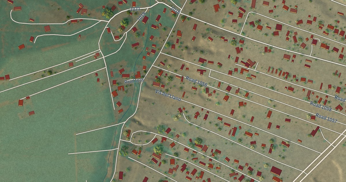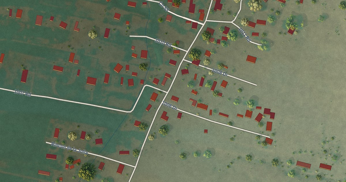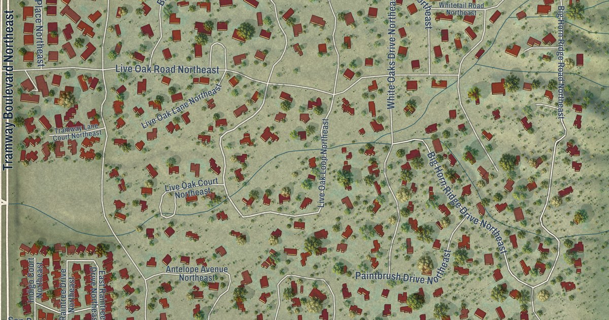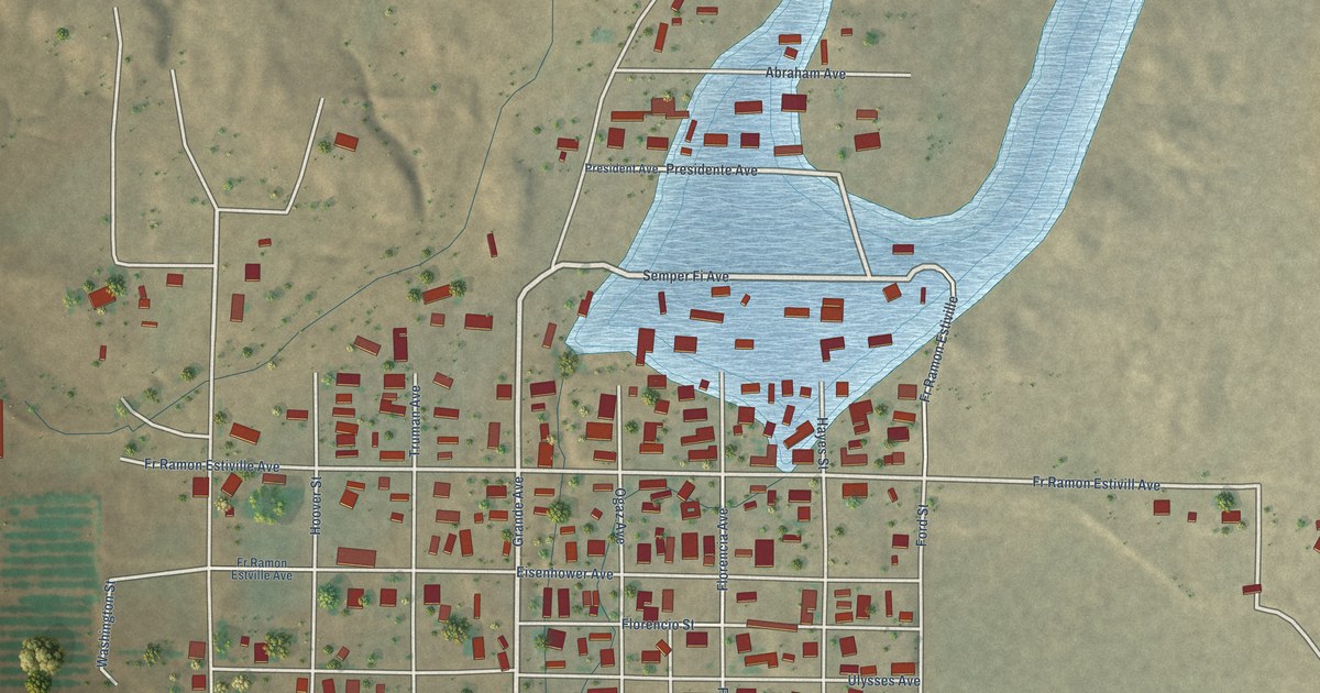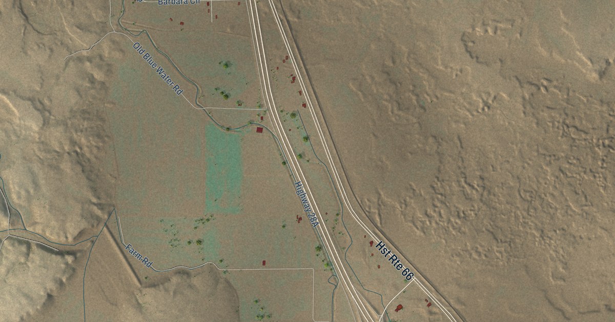
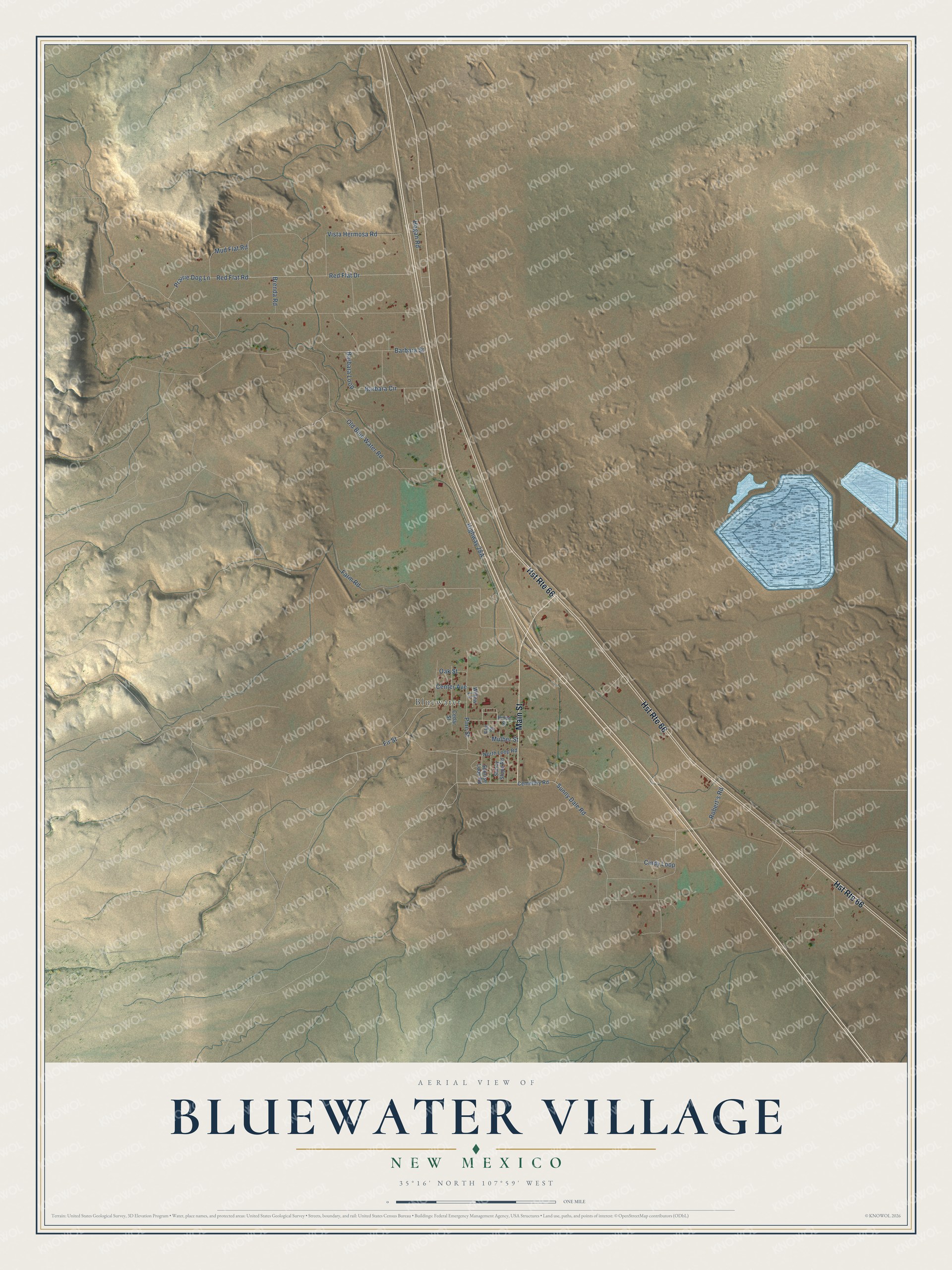
This beautifully detailed map of Bluewater Village, New Mexico was created in 2026 using aerial imagery combined with modern topographical, census, street and landmark data. It's a modern aerial view of Bluewater Village in Cibola County, New Mexico, that combines modern data with a vintage aesthetic. The roads feature printed names, and if you look closely you can find your exact house accurately shown in its correct location.
Explore an aerial view of Bluewater Village, New Mexico
On this map you'll find Bluewater, Main Street, Fir Street, Sunny Dale Road, Prairie Dog Lane, Mud Flat Road, Red Flat Drive, Barbara Street, Mulber Street, Old Blue Water Road, Highway 28A, Red Flat Road, and more. Each red shape is a building, so zoom in on the preview and look for yours.
Here is a piece of Bluewater Village history. Bluewater was founded in 1894 on the site of an earlier homestead and stagecoach stop. Irrigation from Bluewater Lake, with the railroad and Route 66 close by, allowed the growth of large farm fields, which earned Bluewater the title Carrot Capital of the World. Uranium was discovered nearby in 1950, and the region became known as the Uranium Capital of the World. That's from the New Mexico Historic Preservation Division.
Bluewater Village is a community in Cibola County. The Census Bureau counted 464 people here in 2020.
Take a closer look at the Bluewater Village map
Names on this map
These names are printed on this map.
Places: Bluewater.
Streets and roads: Hst Route 66, Main Street, Fir Street, Sunny Dale Road, Prairie Dog Lane, Mud Flat Road, Red Flat Drive, Barbara Street, Mulber Street, Old Blue Water Road, Red Flat Road, Vista Hermosa Road.
More street names, A to Z
Barbara Circle, Barbara Loop, Brenda Road, Cedar Street, Cemetary Road, Center Avenue, Cindy Loop, Elm Street, Farm Road, Hogan Road, North Loop Road, Oak Street, Pine Street, Pinon Street, Robert's Road, Sunny Slope Road, Sunrise Loop Road, Willow Lane.
See it on a wall
The Bluewater Village map as a framed print. Swipe for more.


Created by KNOWOL in 2026. The buildings are small red shapes, the roads carry their printed names, and shaded relief shows the shape of the land. The title panel reads "AERIAL VIEW OF BLUEWATER VILLAGE, NEW MEXICO" with 35°16' NORTH 107°59' WEST.
It suits a den, a classroom or a front hall, and it makes a gift for anyone with Bluewater Village roots. Open the preview and find the block you know. See sizes and frames for the Bluewater Village map.