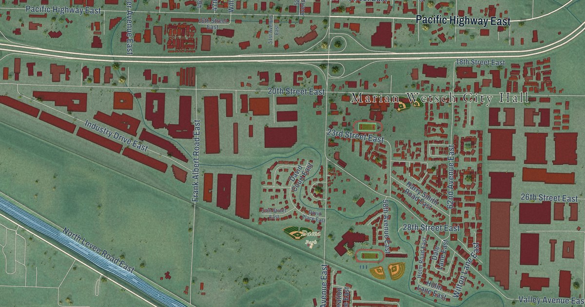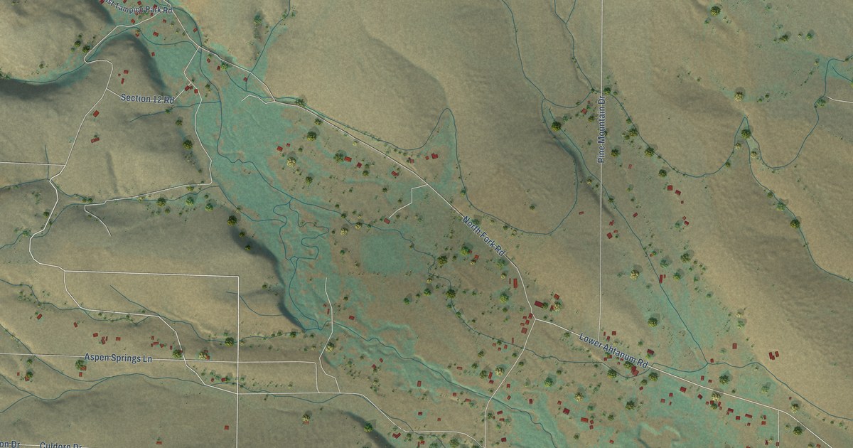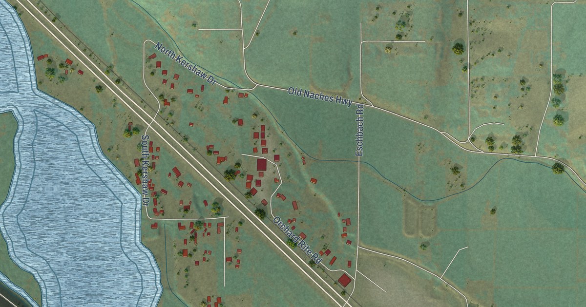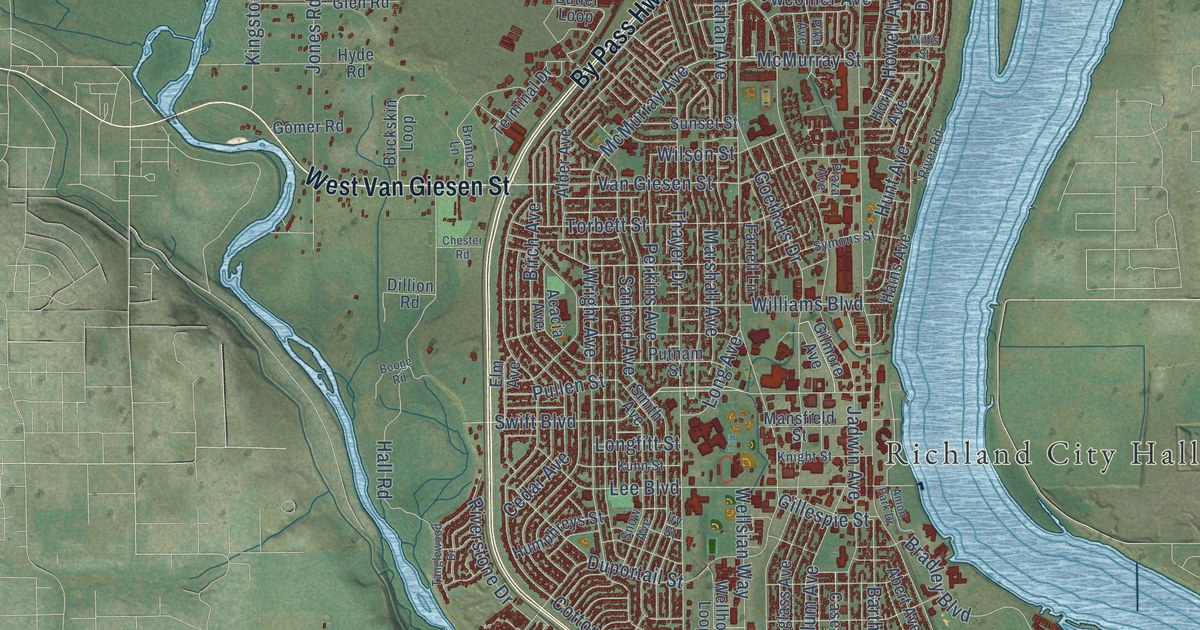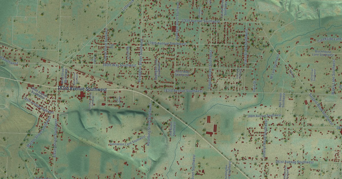
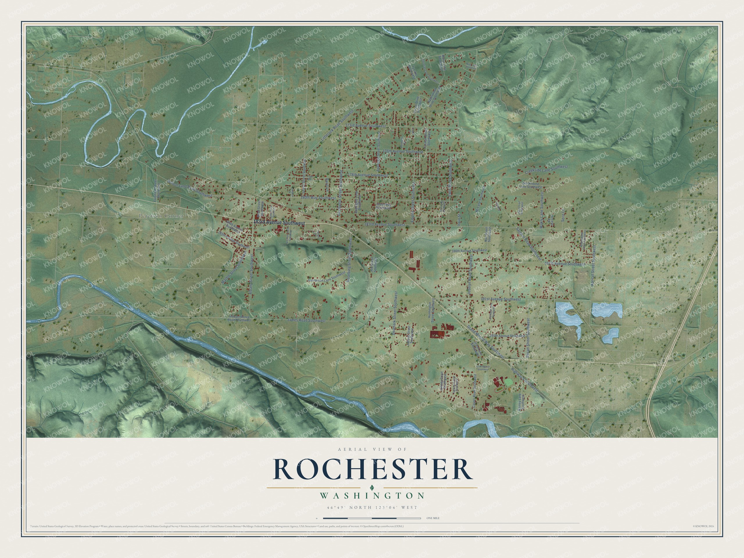
This beautifully detailed map of Rochester, Washington was created in 2026 using aerial imagery combined with modern topographical, census, street and landmark data. It's a modern aerial view of Rochester in Thurston County, Washington, that combines modern data with a vintage aesthetic. The roads feature printed names, and if you look closely you can find your exact house accurately shown in its correct location.
Explore an aerial view of Rochester, Washington
On this map you'll find Peterson Corner, 183rd Avenue Southwest, Highway 9 Southwest, James Road Southwest, Sargent Road Southwest, Littlerock Road Southwest, 191st Avenue Southwest, 180th Way Southwest, 178th Avenue Southwest, 187th Avenue Southwest, School Land Road Southwest, Albany Street Southwest, and more. Each red shape is a building, so zoom in on the preview and look for yours.
Here is a piece of Rochester history, in the words of the record. The National Register of Historic Places puts it this way: "When the Northern Pacific Railroad arrived in 1890, the town of Rochester was platted on land owned by Julia Fleming, who named the new community for her hometown of Rochester, Indiana." The town's school, designed by Northwest architect Floyd Naramore, was built in 1936 and drew grammar and high school students from a wide area.
Rochester is a community in Thurston County. The Census Bureau counted 6,064 people here in 2020.
Take a closer look at the Rochester map
Names on this map
These names are printed on this map.
Places: Peterson Corner.
Streets and roads: 183rd Avenue Southwest, Highway 9 Southwest, James Road Southwest, Sargent Road Southwest, Littlerock Road Southwest, 191st Avenue Southwest, 180th Way Southwest, 178th Avenue Southwest, 187th Avenue Southwest, School Land Road Southwest, Albany Street Southwest, 176th Avenue Southwest.
More street names, A to Z
173rd Avenue Southwest, 178th Way, 181st Way Southwest, 182nd Trail Southwest, 184th Avenue Southwest, 185th Avenue Southwest, 186th Avenue Southwest, 193rd Lane Southwest, 195th Avenue Southwest, 197th Avenue Southwest, Access Road, Apperwood Drive Southwest, Applegate Loop Southwest, Applegate Street Southwest, Apricot Street Southwest, Bend Street Southwest, Blockhouse Lane Southwest, Brandywine Court Southwest, Caddis Lane, Carper Road Southwest, Christian Lane Southwest, Creekside Lane Southwest, Dallas Street Southwest, Daryl Lane, Denmark Street, Denmark Street Southwest, Doris Lane Southwest, Empire Street Southwest, Forstrom Street Southwest, Furman Street Southwest, Gastaeson Lane Southwest, Grand Mound Way Southwest, Gresham Street, Gresham Street Southwest, Hilt Street Southwest, Huntington Street Southwest, Independence Road Southwest, Irwin Street, Irwin Street Southwest, Jordan Street Southwest, Joselyn Road Southwest, Jowsey Court Southwest, Jutland Street Southwest, Larrys Lane, Marble Street Southwest, Marlu Lane Southwest, Mi Lane Southwest, Nye Street Southwest, Oakberg Lane, Old Ranch Lane Southwest, Pecan Street Southwest, Pendleton Street Southwest, Rainey Lane Southwest, Riffe Lane Southeast, Roseburg Street Southwest, Seco Lane, Tahoma Circle Southwest, Ty Lane Southwest, Vircon Drive Southwest, Wakly Lane Southwest.
See it on a wall
The Rochester map as a framed print. Swipe for more.


Created by KNOWOL in 2026. The buildings are small red shapes, the roads carry their printed names, and shaded relief shows the shape of the land. The title panel reads "AERIAL VIEW OF ROCHESTER, WASHINGTON" with 46°49' NORTH 123°04' WEST.
It suits a den, a classroom or a front hall, and it makes a gift for anyone with Rochester roots. Open the preview and find the block you know. See sizes and frames for the Rochester map.