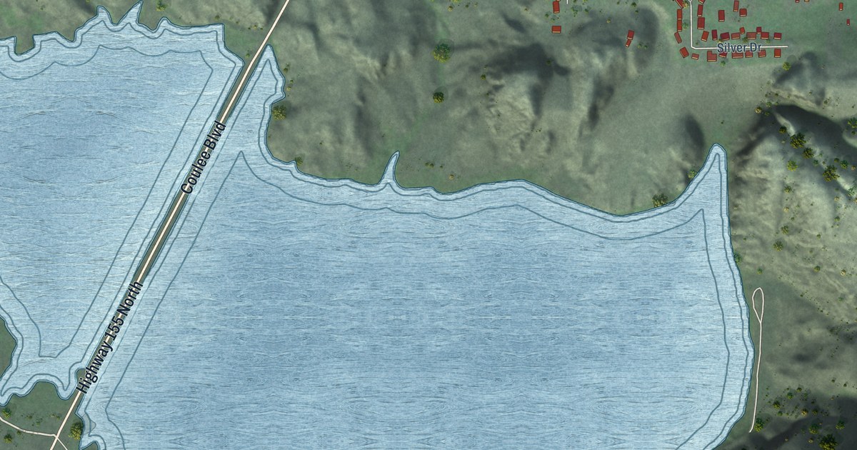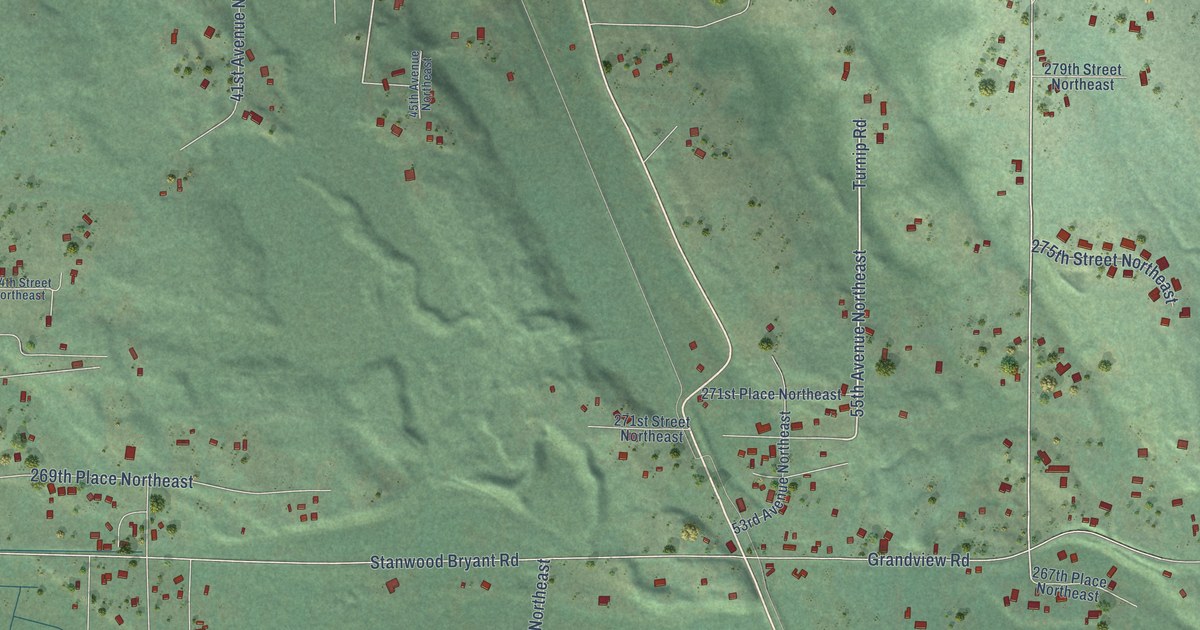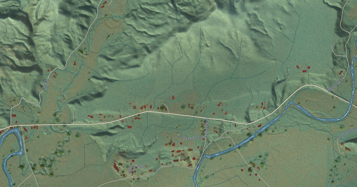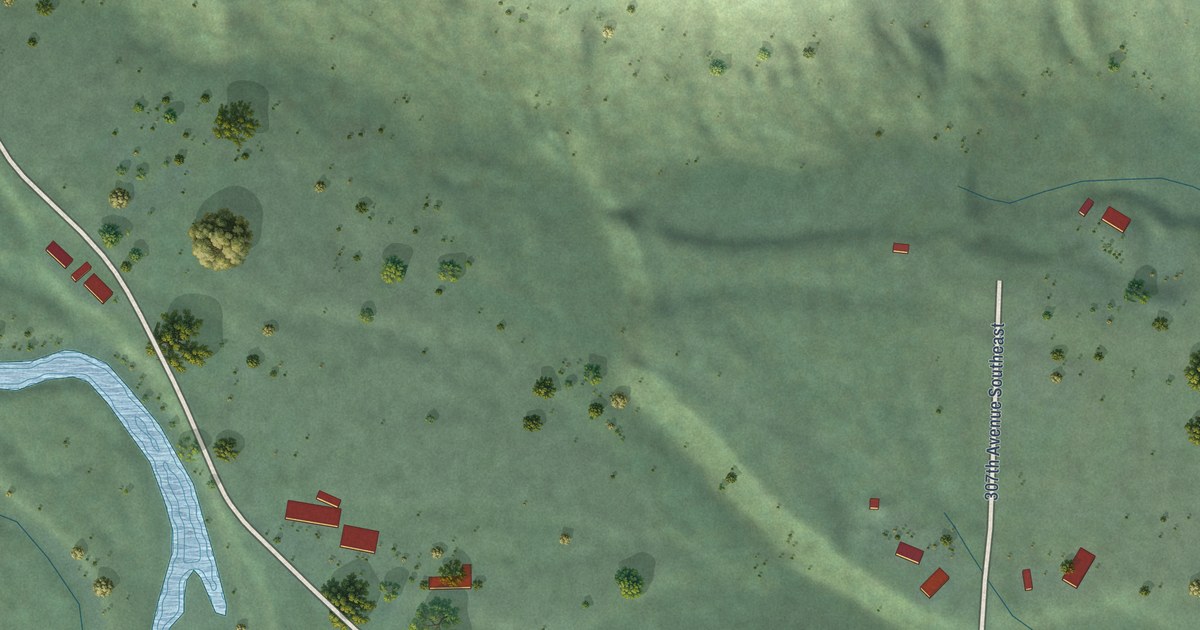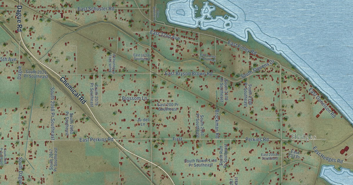
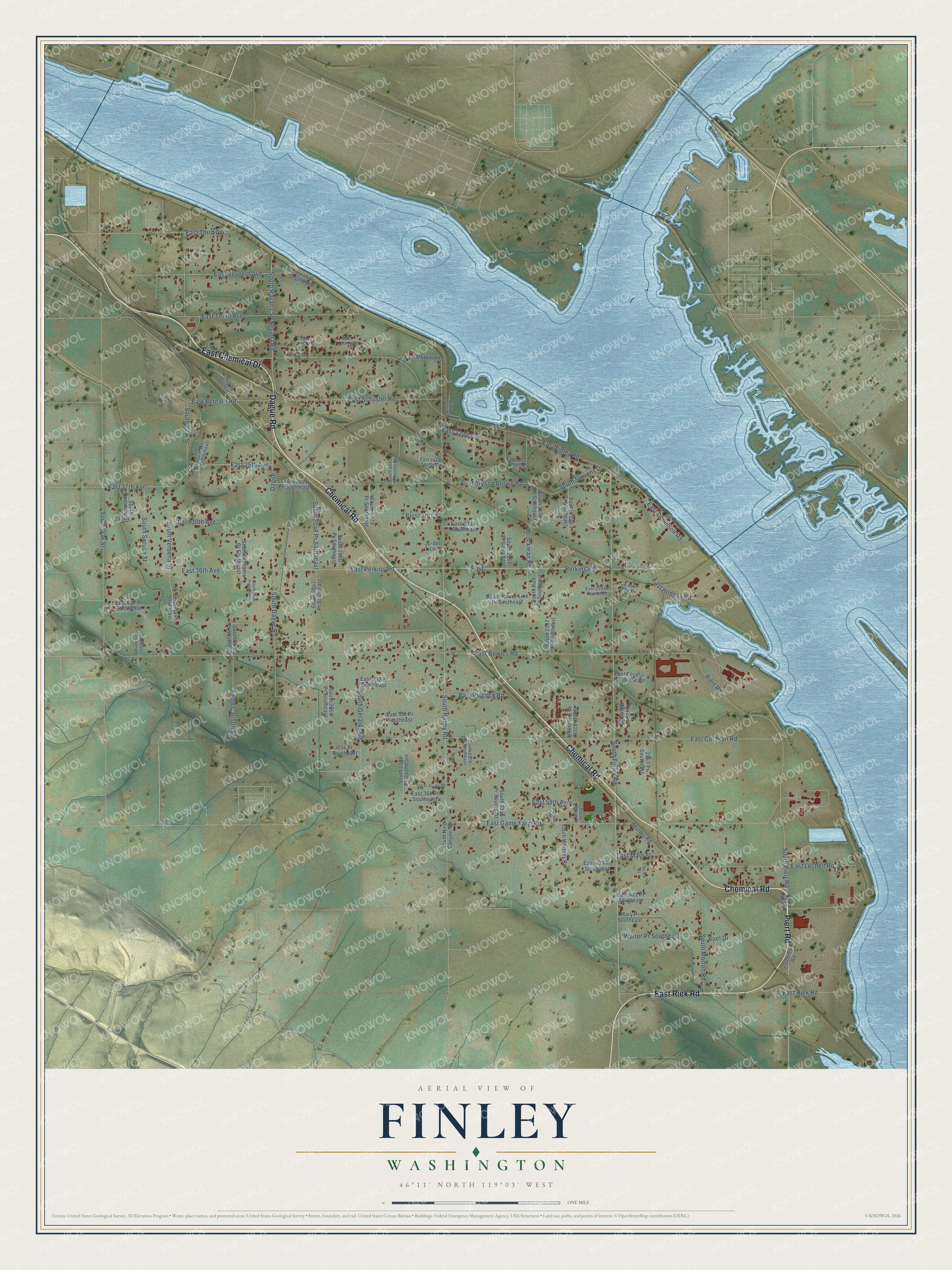
This beautifully detailed map of Finley, Washington was created in 2026 using aerial imagery combined with modern topographical, census, street and landmark data. It’s a one-of-a-kind view of Finley that combines accurate data with a vintage aesthetic. The map shows every building in its true location, many of the roads carry their names, and the shaded topographic relief shows the shape of the land.
Explore an aerial view of Finley, Washington
On the map you’ll find Hedges, along with Chemical Road, East Chemical Drive, Piert Road, Dague Road, East Riek Road, East 25th Avenue, South Finley Road, South Oak Street, East Seventh Avenue, East Game Farm Road, South Haney Road, and more. If you look closely you can even find your house accurately drawn in its correct location. Zoom in on the preview to look for yours.
Did You Know?
Finley was named in honor of George E. Finley, one of the first settlers under the Northern Pacific Irrigation Canal. His place adjoined the townsite of Finley. That's from the Washington Historical Quarterly.
Take a closer look at the Finley map
Names on this map
These names are printed on this map.
Places: Hedges.
Streets and roads: Chemical Road, East Chemical Drive, Piert Road, Dague Road, East Riek Road, East 25th Avenue, South Finley Road, South Oak Street, East Seventh Avenue, East Game Farm Road, South Haney Road, East Perkins Road.
More street names, A to Z
334 Pr Southeast, 355 Pr Southeast, 2001 Pr Southeast, 2243 Pr Southeast, Blossom Lane, Brockman Road, Buel Drive, Dague, Dunham Road, East 13th Avenue, East 14th Place, East 22nd Avenue, East 27th Avenue, East 30th Avenue, East 36th Avenue, East 45 Pr Southeast, East 59th Avenue, East 163 Pr Southeast, East 200 Pr Southeast, East 223 Pr, East 239 Pr Southeast, East 247 Pr Southeast, East 292 Pr Southeast, East 315 Pr Southeast, East 361 Pr Southeast, East 403 Pr Southeast, East 421 Pr Southeast, East Access Pr Southeast, East Bernath Road, East Bowles Road, East Bryson Brown Road, East Cochran Road, East Donelson Road, East Finley Road, East Hedges Road, East Lechelt Road, East Locust Pr Southeast, East Main Street, East Matzat Road, East Pidcock Road, East Schuster Road, East Tenth Avenue, East Third Avenue, First, Glynn Wheeler Lane, Ju-del Lane, Lincoln Street, Mary Pr Southeast, Morton Road, Nevada Road, Perkins Road, South 1942 Pr Southeast, South 1977 Pr Southeast, South 1998 Pr Southeast, South 2009 Pr Southeast, South 2021 Pr Southeast, South 2047 Pr Southeast, South 2048 Pr Southeast, South 2054 Pr Southeast, South 2060 Pr Southeast, South 2079 Pr Southeast, South 2093 Pr Southeast, South 2099 Pr Southeast, South 2138 Pr Southeast, South 2156 Pr Southeast, South 2161 Pr Southeast, South 2179 Pr Southeast, South 2187 Pr Southeast, South 2198 Pr Southeast, South 2200 Pr Southeast, South Carlson Road, South Dague Road, South Gerards Road, South Havana Street, South Lemon Drive, South Morton Road, South Nine Canyon Road, South Piert Road, South Power Line Pr Southeast, South Quinn Street, South Redstone Street, South Ruff Pr Southeast, South Spruce Street, South Stevens Drive, South Verbena Street, South Whitney Road, South Williams Pr Southeast, South Yew Street, Verbena Pr Southeast, Walter Pr Southeast.
See it on a wall
The Finley map as a framed print. Swipe for more.


This beautifully detailed map of Finley makes an attractive addition to your office, library, or den, and it can even be used to teach children the geography and history of the area. It also makes a great gift for someone who left Finley and still calls it home. When you’re done exploring, click here to get your copy of the Finley map.