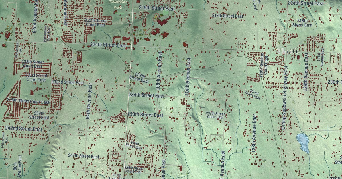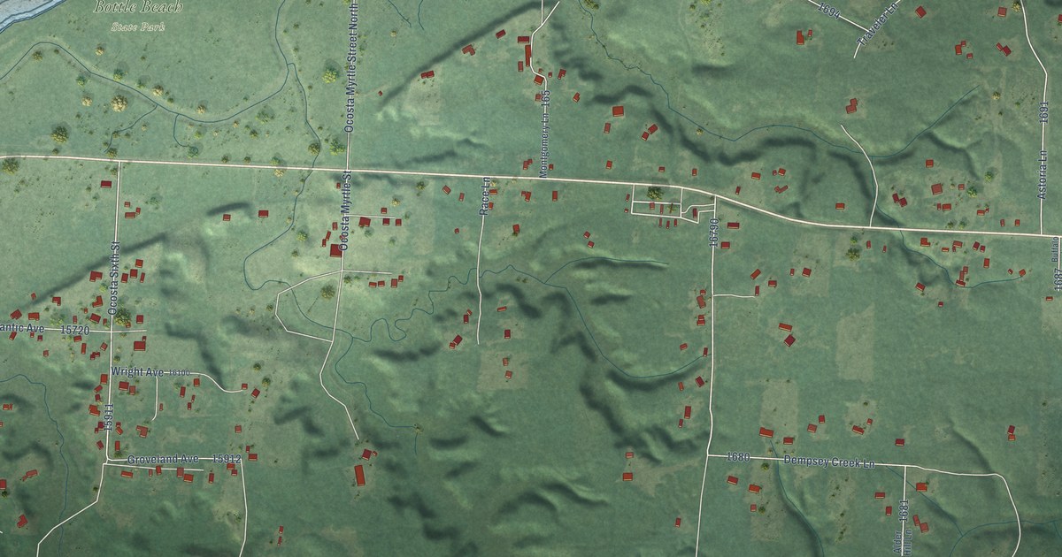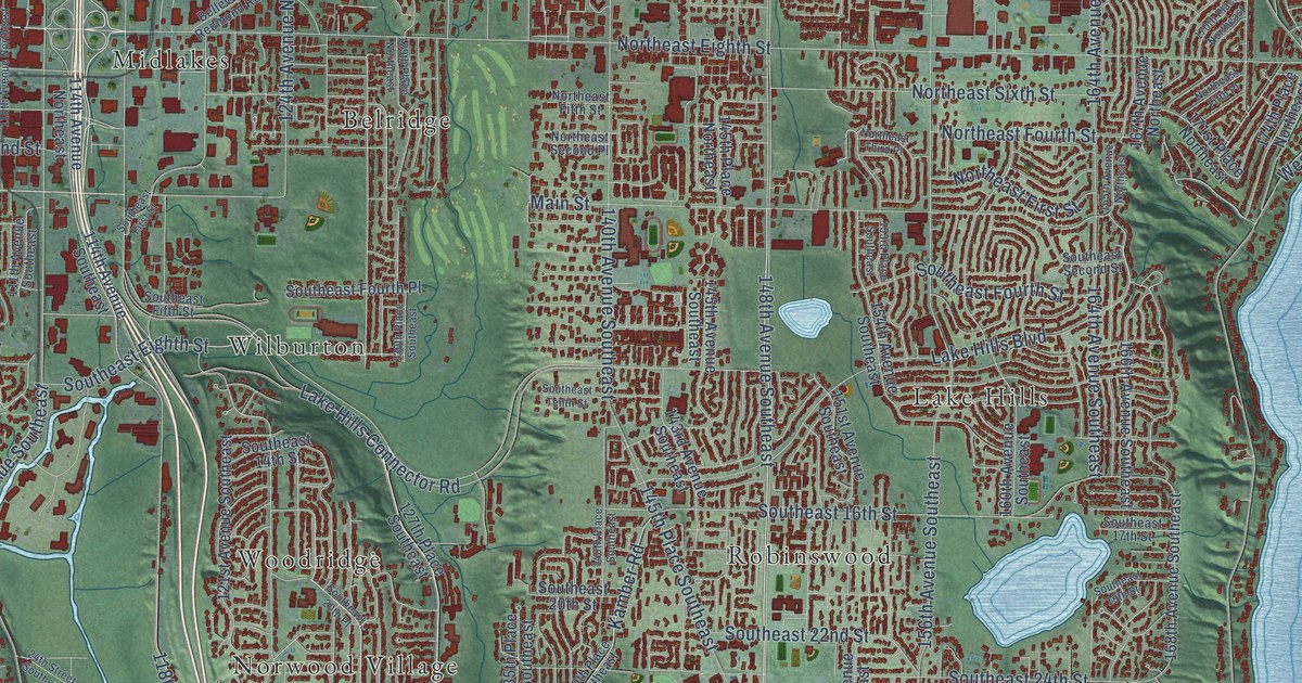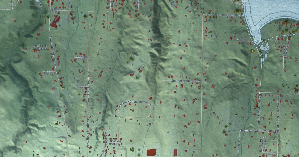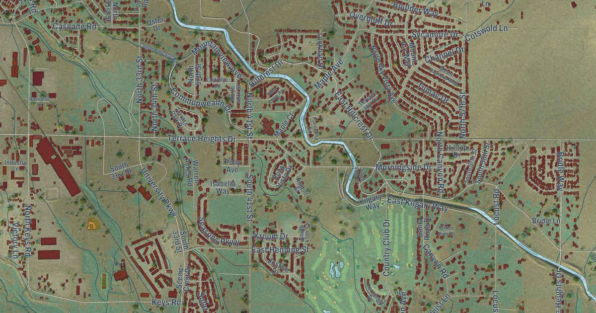
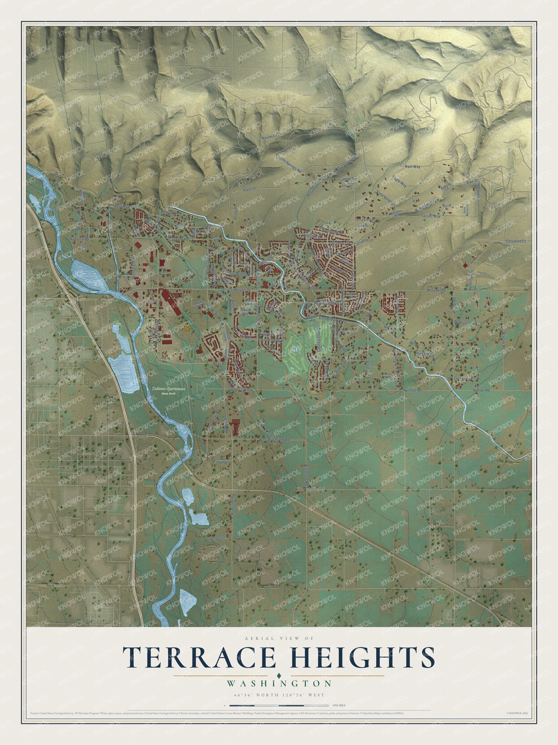
This beautifully detailed map of Terrace Heights, Washington was created in 2026 using aerial imagery combined with modern topographical, census, street and landmark data. It's a modern aerial view of Terrace Heights in Yakima County, Washington, that combines modern data with a vintage aesthetic. The roads feature printed names, and if you look closely you can find your exact house accurately shown in its correct location.
Explore an aerial view of Terrace Heights, Washington
On this map you'll find Yakima Sportsman State Park, Birchfield, Terrace Heights Drive, East Hillcrest Drive, Hillcrest Drive, North 41st Street, South Terrace Heights Drive, Bridle Way, Hardy Drive, Birchfield Road, South Keys Road, University Parkway, and more. Each red shape is a building, so zoom in on the preview and look for yours.
Terrace Heights is a community in Yakima County. The Census Bureau counted 9,244 people here in 2020. Terrace Heights sits about 3 miles northwest of Moxee, 4 miles northeast of Union Gap and 5 miles east of Yakima. The map prints the town name in its title panel, with the coordinates below it.
Take a closer look at the Terrace Heights map
Names on this map
These names are printed on this map.
Places: Yakima Sportsman State Park and Birchfield.
Streets and roads: Terrace Heights Drive, East Hillcrest Drive, Hillcrest Drive, North 41st Street, South Terrace Heights Drive, Bridle Way, Hardy Drive, Birchfield Road, South Keys Road, University Parkway, Terrett Way, Keys Road.
More street names, A to Z
Almo Road, Andring Lane, Arroyo Lane, Beacon Avenue, Bittner Road, Blue Crane Lane, Bohoskey Drive, Bohoskey Way, Boucher Lane, Boulder Way, Bridle Lane, Business Lane, Butterfield Road, Camus Lane, Canyon Road, Cascade Road, Channel Drive, Commonwealth Drive, Commonwealth Road, Cotswold Court, Cotswold Lane, Country Club Drive, Covington Lane, Coyote Creek Road, Coyote Springs Road, Cut Off Road, Eagle Way, East Henning Street, East Kilgary Way, East Oliver Drive, Eastridge Road, Ewe Drive, Ferncrest Drive, Gun Club Road, Hartford Road, Hilltop Drive, Home Acre Road, Horgan Road, Horgan Street, Horizon View Lane, Industry Lane, Isabella Way, Jester Lane, Justice Drive, Karin Drive, Kilgary Way, Kroum Drive, Laredo Lane, Lockhart Drive, Locust Avenue, Locust Road, Lupine Drive, Macias Lane, Maple Avenue, Maple Court, Marsh Road, Morningside Drive, Mountainview Avenue, Mount Aix Way, Mount Clemens Way, Nola Loop Road, Norman Road, North 15th Street, North 31st Street, North 33rd Street, North 34th Street, North 37th Street, North 40th Street, North 57th Street, North 76th Street, North Canyon Road, North Keys Road, North Sky Vista Avenue, Nugent Street, Oliver Drive, Oster Drive, Overbluff Drive, Panorama Drive, Pilot Lane, Polly Avenue, Power Plant Road, Ram Way, Ravine Drive, Rest Haven Road, Riverside Road, Rosewood Lane, Roza Hill Drive, Roza Vista Drive, Saint Martin Lane, Sand Crest Place, Santa Roza Drive, Scenic Crest Drive, Scudder Way, Seasons Parkway, Skyline Place, Solar Fun Drive, South 31st Street, South 33rd Street, South 41st Street, South 45th Street, South 49th Street, South 57th Street, South 58th Street, Stealth Lane, Sunny Court, Sycamore Drive, Terrace Hill Drive, Terrace Park Drive, Terra Cotta Place, Terrett Drive, Titleist Lane, Tumac Drive, Union View Drive, Victory Lane, Vista Verde Drive, Warren Acres Road, Warrior Road, Wendt Road, West Birchfield Road, Wyss Lane, Young Road.
See it on a wall
The Terrace Heights map as a framed print. Swipe for more.


Created by KNOWOL in 2026. The buildings are small red shapes, the roads carry their printed names, and shaded relief shows the shape of the land. The title panel reads "AERIAL VIEW OF TERRACE HEIGHTS, WASHINGTON" with 46°36' NORTH 120°26' WEST.
Hang it in the hallway, the office or the cabin, or give it to someone who left Terrace Heights and still calls it home. Open the preview and look for a street you know. See sizes and frames for the Terrace Heights map.