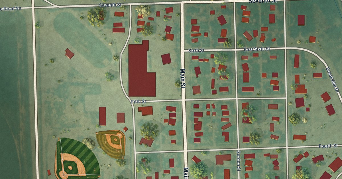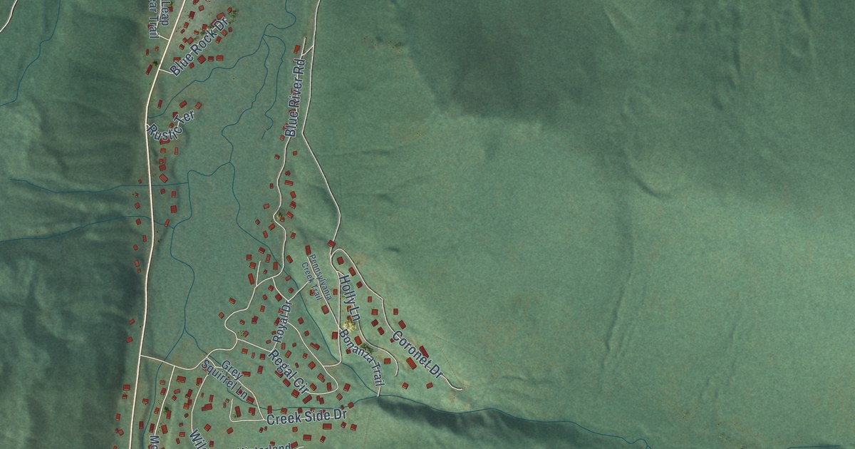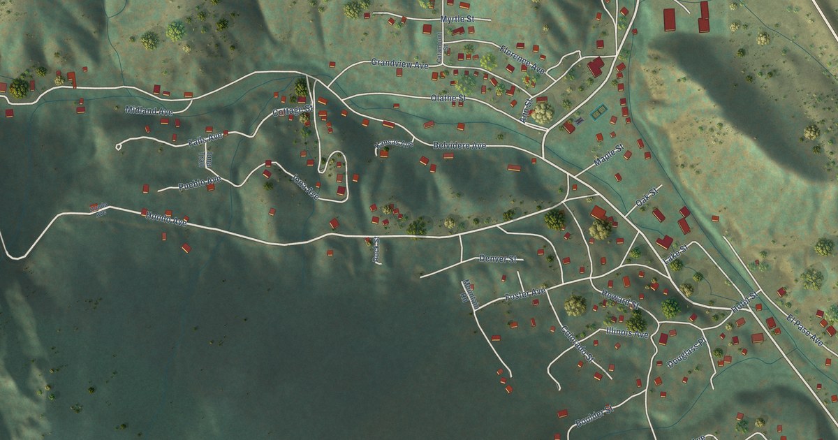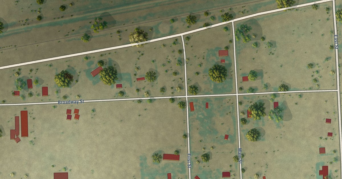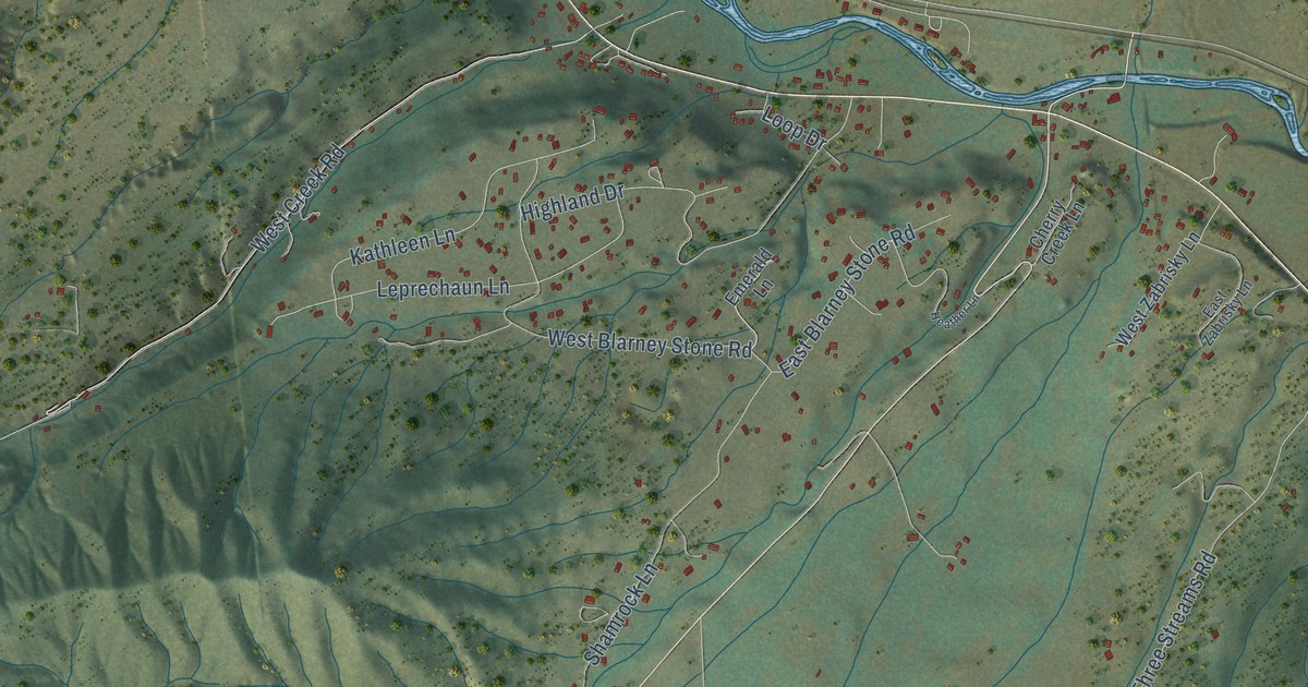
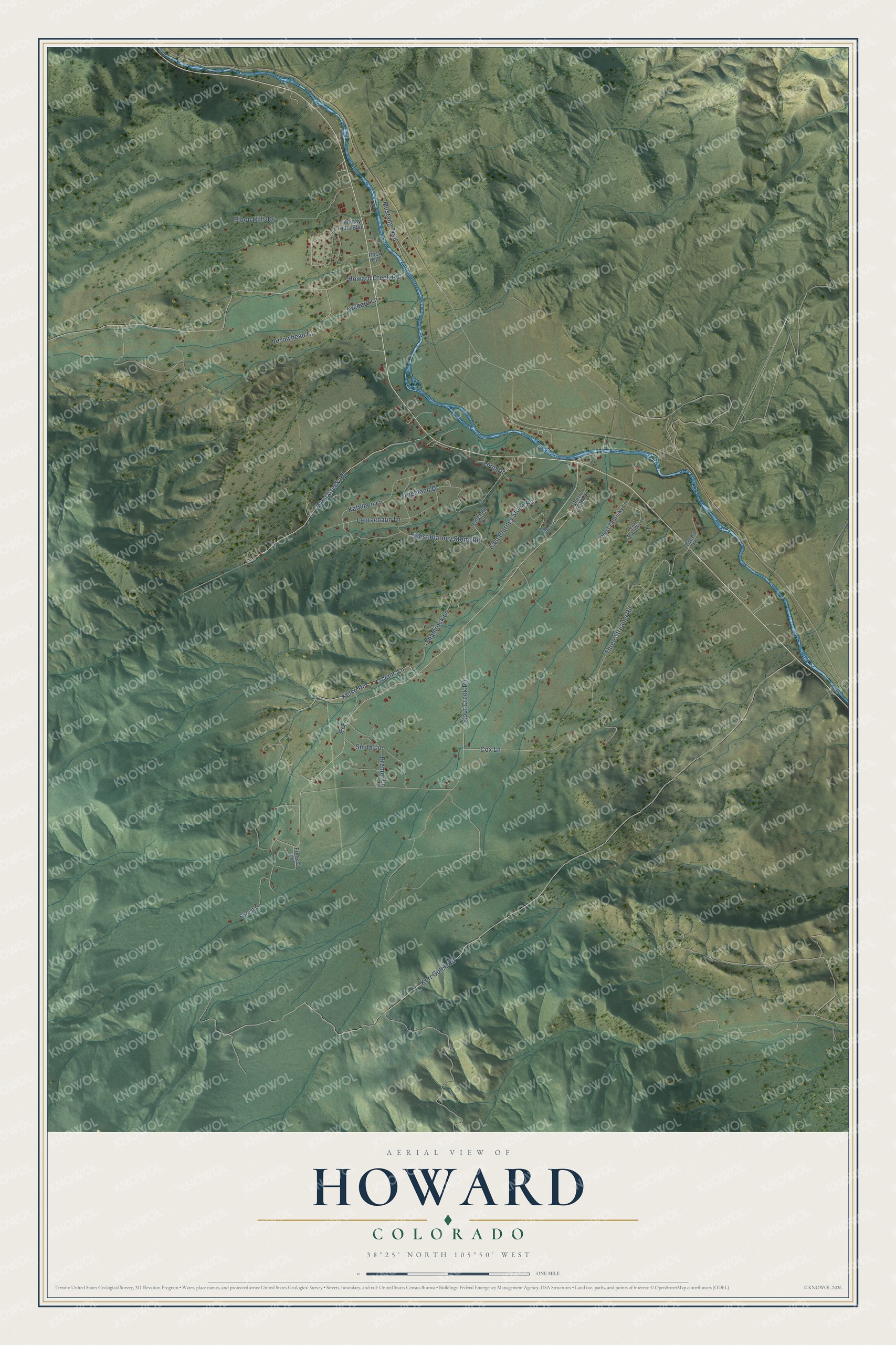
This beautifully detailed map of Howard, Colorado was created in 2026 using aerial imagery combined with modern topographical, census, street and landmark data. It's a modern aerial view of Howard in Fremont County, Colorado, that combines modern data with a vintage aesthetic. The roads feature printed names, and if you look closely you can find your exact house accurately shown in its correct location.
Explore an aerial view of Howard, Colorado
On this map you'll find Loop Drive, Kerr Gulch Road, Howard Creek Road, Three Streams Road, West Creek Road, Highland Drive, West Blarney Stone Road, Scenic Lane, Leprechaun Lane, Shamrock Lane, Pinon Hills Drive, Kelso Road, and more. Each red shape is a building, so zoom in on the preview and look for yours.
Here is a piece of Howard history. Howard had a station on the Denver and Rio Grande Railroad, and on a hill near it stood charcoal kilns built in 1882 by the Taylor Company. In the foothills beyond, the Colorado Fuel and Iron Company ran the Calcite limestone quarry from 1902 to 1929. That's from the Denver Public Library.
Howard is a community in Fremont County. The Census Bureau counted 852 people here in 2020.
Take a closer look at the Howard map
Names on this map
These names are printed on this map.
Streets and roads: Loop Drive, Kerr Gulch Road, Howard Creek Road, Three Streams Road, West Creek Road, Highland Drive, West Blarney Stone Road, Scenic Lane, Leprechaun Lane, Shamrock Lane, Pinon Hills Drive, Kelso Road.
More street names, A to Z
Arrowhead Court, Bremer Lane, Cherry Creek Lane, Cox Lane, East Blarney Stone Road, East Zabrisky Lane, Emerald Lane, Forest Lane, Forrest Lane, Green Lane, Heather Lane, Holiday Hills Boulevard, Kathleen Lane, Mustang Trail, Orchard Lane, Post Circle, Pr Drive, Smith Lane, Stout Creek Road, West Zabrisky Lane.
See it on a wall
The Howard map as a framed print. Swipe for more.


Created by KNOWOL in 2026. The buildings are small red shapes, the roads carry their printed names, and shaded relief shows the shape of the land. The title panel reads "AERIAL VIEW OF HOWARD, COLORADO" with 38°25' NORTH 105°50' WEST.
It suits a den, a classroom or a front hall, and it makes a gift for anyone with Howard roots. Open the preview and find the block you know. See sizes and frames for the Howard map.