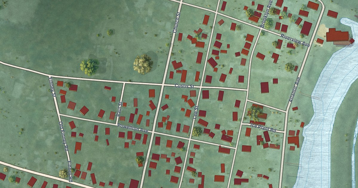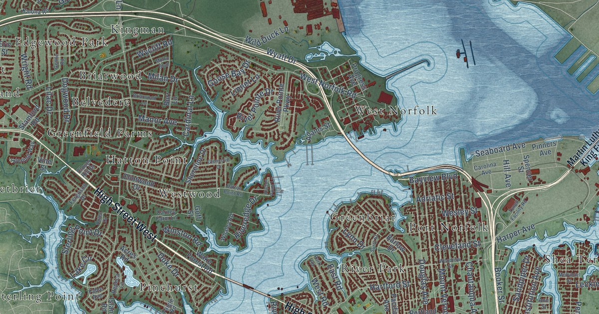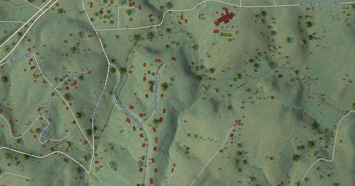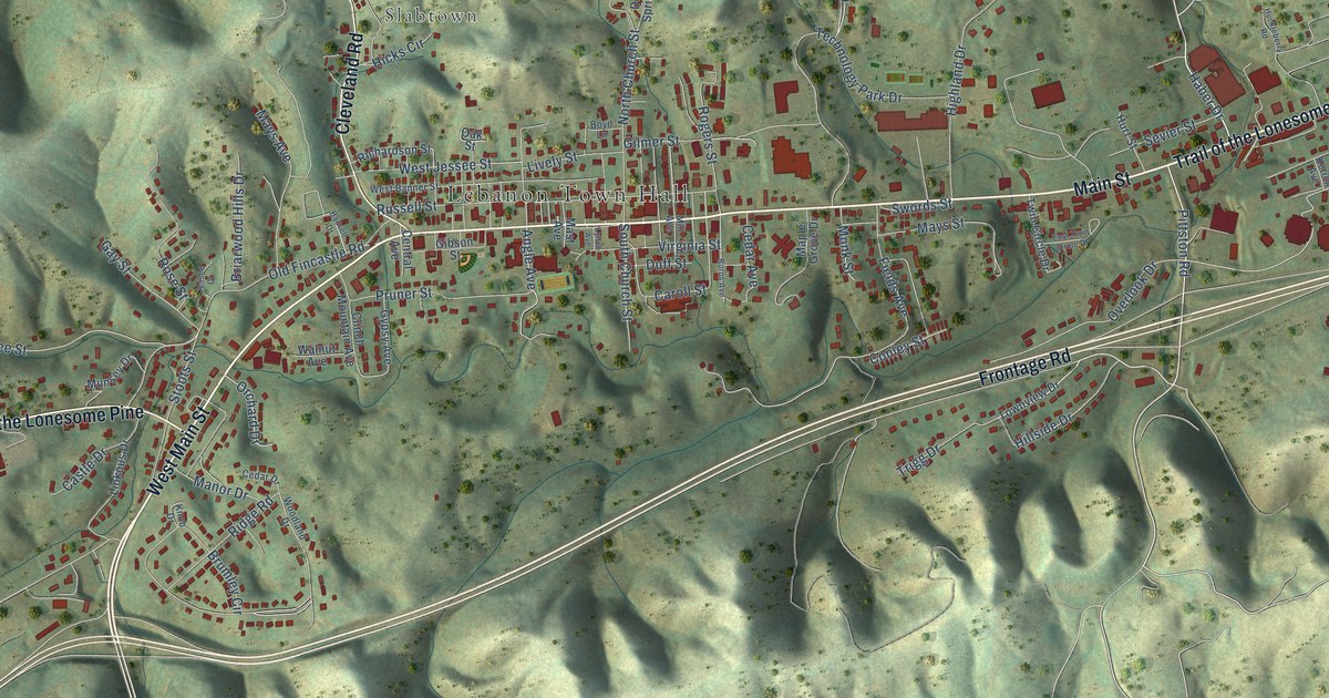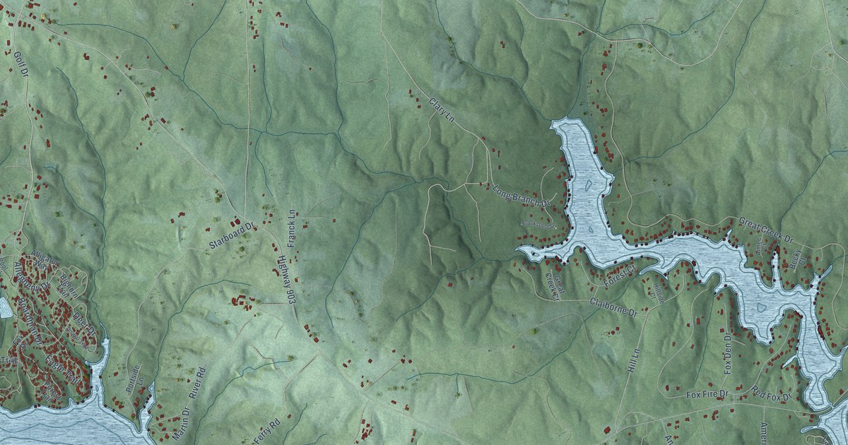
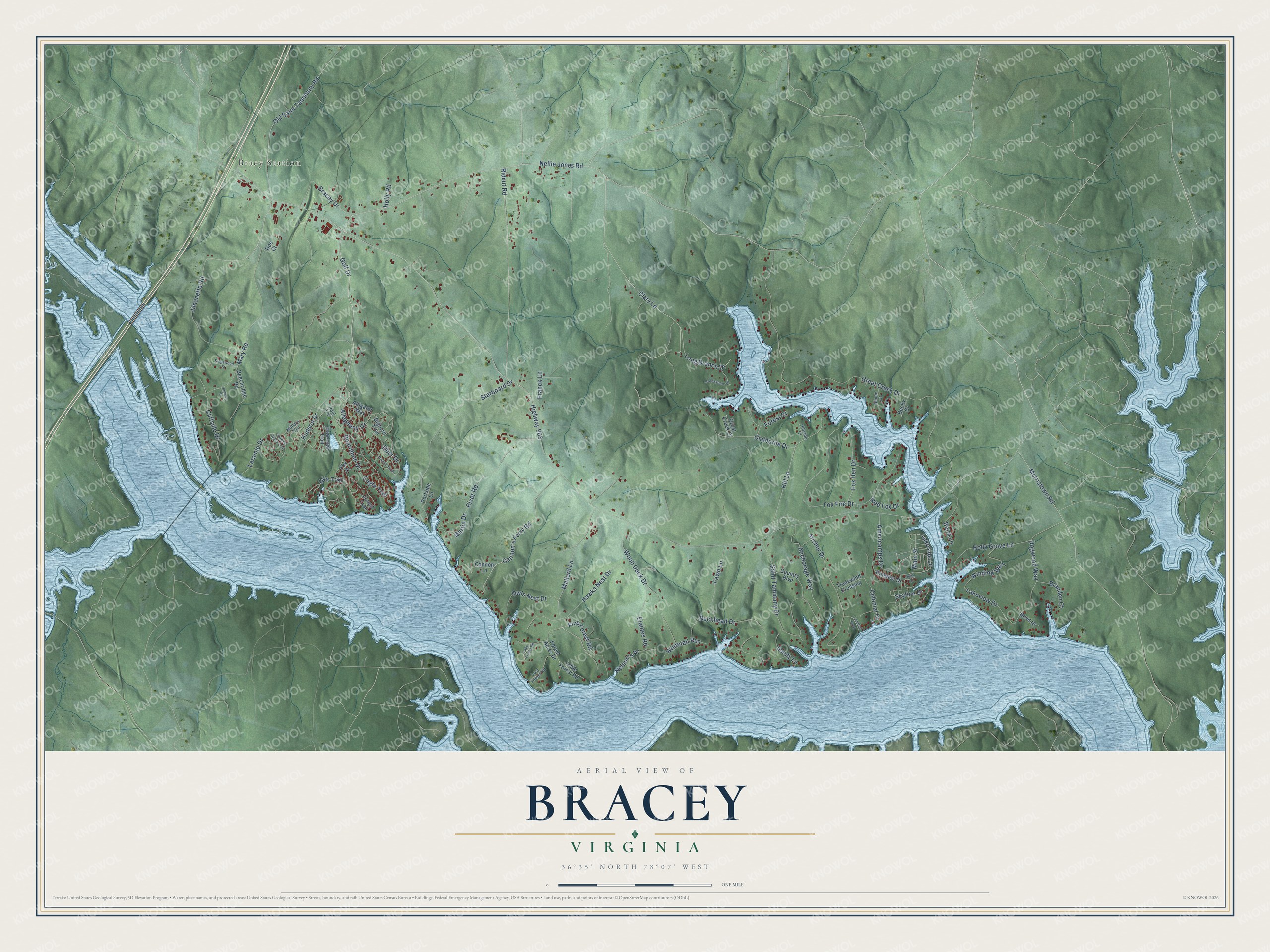
This beautifully detailed map of Bracey, Virginia was created in 2026 using aerial imagery combined with modern topographical, census, street and landmark data. It's a modern aerial view of Bracey in Mecklenburg County, Virginia, that combines modern data with a vintage aesthetic. The roads feature printed names, and if you look closely you can find your exact house accurately shown in its correct location.
Explore an aerial view of Bracey, Virginia
On this map you'll find Bracy Station, Lakeside Lane, Golf Drive, Long Branch Drive, Allegheny Drive, Hill Lane, Anchorage Way, Cliffside Drive, Nellie Jones Road, Highway 903, Great Creek Drive, Morristown Road, and more. Each red shape is a building, so zoom in on the preview and look for yours.
Bracey has a story worth telling. Bracey grew up around the railroad station built in 1900 where the new line crossed the River Road. Local people wanted the station named Saint Tammany, after the old river town, but railroad officials are said to have turned that down as too long to telegraph and chose Bracey, for A. H. Bracey. In its heyday the village had five stores, a blacksmith shop, two cotton gins, a barber shop, an ice cream stand, two boarding houses and a busy passenger and freight depot. That's from the Saint Tammany Farm history site.
Bracey is a community in Mecklenburg County. The Census Bureau counted 1,372 people here in 2020.
Take a closer look at the Bracey map
Names on this map
These names are printed on this map.
Places: Bracy Station.
Streets and roads: Lakeside Lane, Golf Drive, Long Branch Drive, Allegheny Drive, Hill Lane, Anchorage Way, Cliffside Drive, Nellie Jones Road, Highway 903, Great Creek Drive, Morristown Road, Old Saint Tammany Road.
More street names, A to Z
Aimee Court, Alligator Way, Americamps Drive, Anchor Drive, Baird Lane, Becky Court, Beechridge Road, Bighorn Trail, Boardman Drive, Boyd Drive, Bracey Drive, Brandon Court, Brookstone Drive, Buckhead Drive, Cannon's Ferry Road, Cannon Lane, Claiborne Drive, Clary Lane, Colonial Drive, Country Boulevard, Deer Drive, Dismal Trail, Doe Court, Dogwood Way, Duck Lane, Eagle Trail, Elaines Road, Fawn Lane, Forest Acres Drive, Forest Court, Forest Trail, Fox Den Drive, Fox Drive, Fox Fire Drive, Franck Lane, Gila Trail, Great Creek Court, Haw Haw Trail, Hawks Nest Drive, Hillside Court, Holly Grove Lane, Holly Road, Hudson Drive, James Court, Jimanetta Road, Kingswood Street, Lake Forest Road, Lakeview Drive, Landfall Quay, Laramie Drive, Little Forest Road, Looking Glass Trail, Lost Forest Road, Main Street, Mallard Lane, Mallard Trail, Martin Drive, Mary Road, Nelson's Drive, Owls Nest Drive, Pine Forest Road, Pinetree Drive, Pool Trail, Portside Lane, Red Fox Drive, Ridout Road, River Road, Saint Tammany Drive, Sandy Lane, Skyline Drive, Starboard Drive, Tradewind Crossing, Whitetail Run, Winding Way, Wood Duck Drive.
See it on a wall
The Bracey map as a framed print. Swipe for more.


Created by KNOWOL in 2026. The buildings are small red shapes, the roads carry their printed names, and shaded relief shows the shape of the land. The title panel reads "AERIAL VIEW OF BRACEY, VIRGINIA" with 36°35' NORTH 78°07' WEST.
It looks right in a kitchen, an office or a den, and it's a gift for anyone who grew up in Bracey or moved away. Open the preview and find your street. See sizes and frames for the Bracey map.