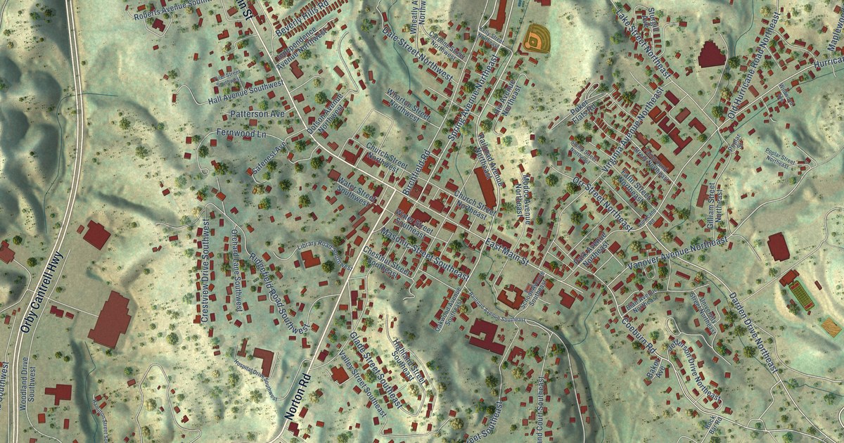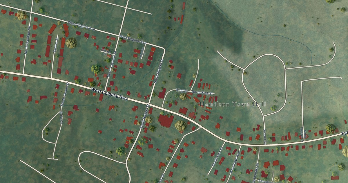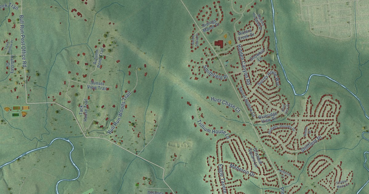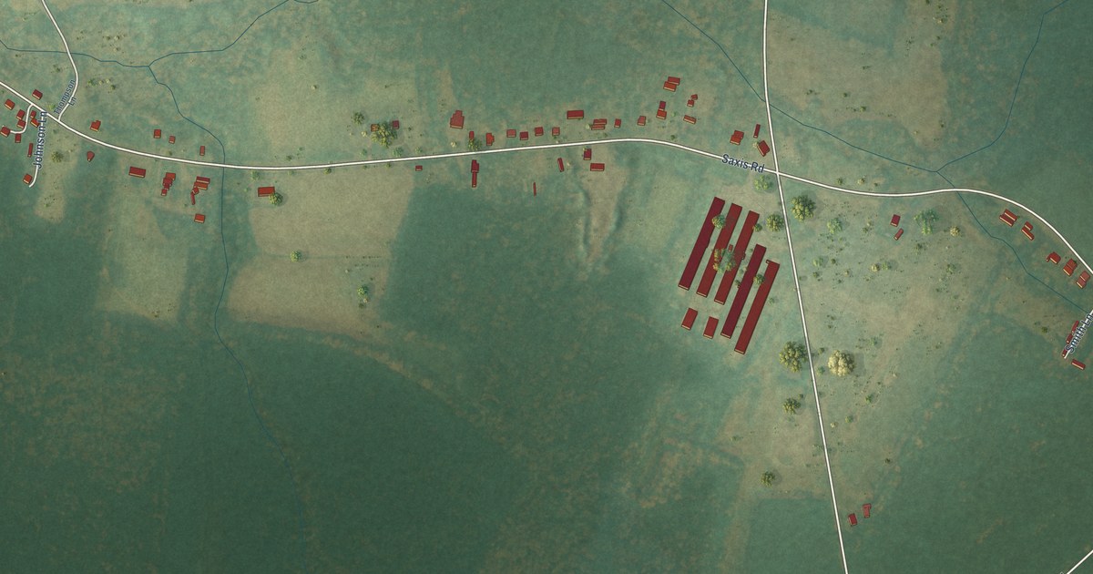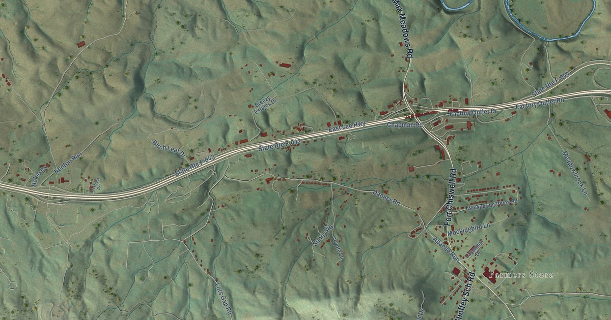
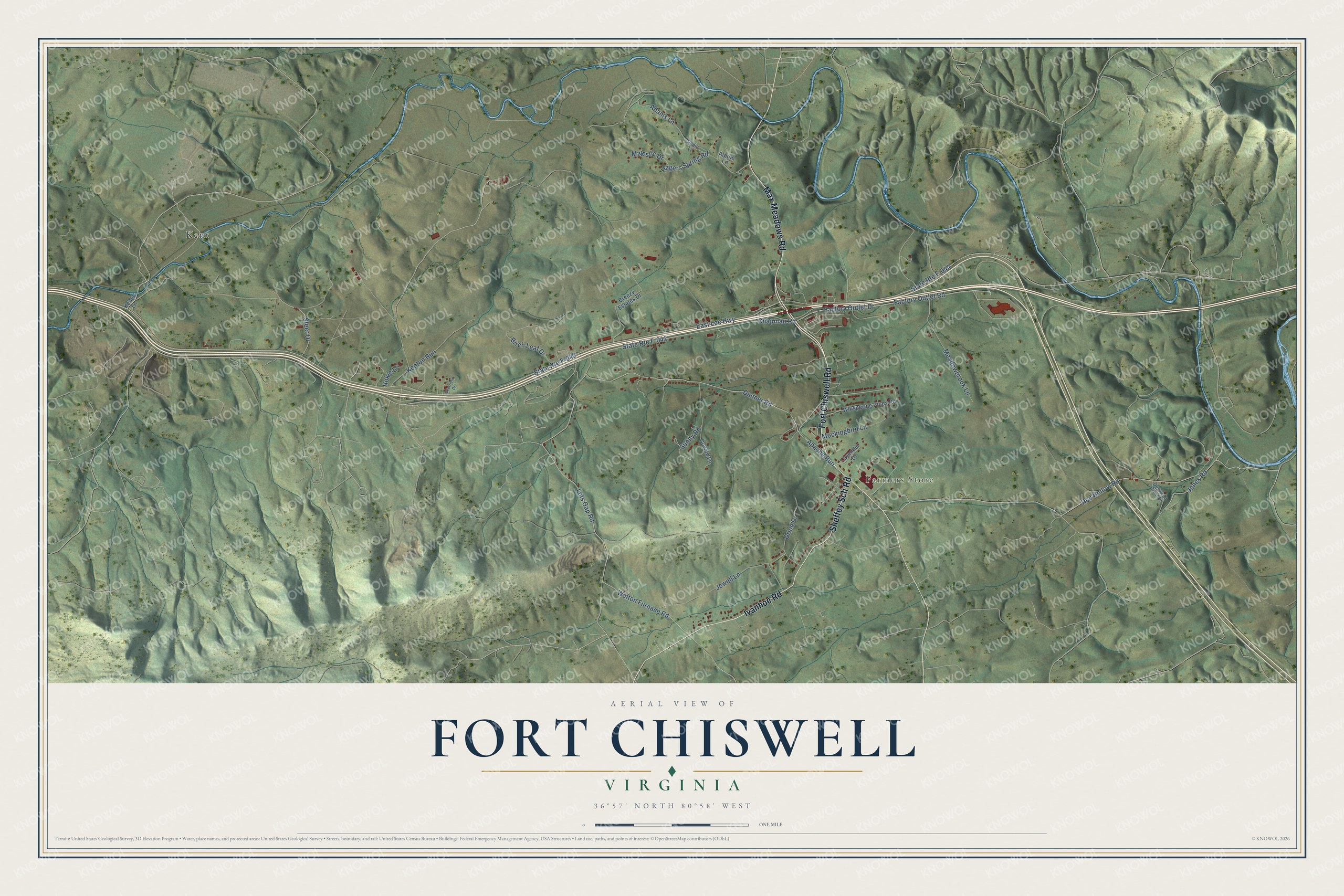
This beautifully detailed map of Fort Chiswell, Virginia was created in 2026 using aerial imagery combined with modern topographical, census, street and landmark data. It's a modern aerial view of Fort Chiswell in Wythe County, Virginia, that combines modern data with a vintage aesthetic. The roads feature printed names, and if you look closely you can find your exact house accurately shown in its correct location.
Explore an aerial view of Fort Chiswell, Virginia
On this map you'll find Farmers Store, Kent, Fort Chiswell Road, Max Meadows Road, Ivanhoe Road, Sheffey Sch Road, East Lee Highway, Red Hollow Road, Steer Drive, State Rte F-042, Factory Outlet Road, Factory Outlet Drive, and more. Each red shape is a building, so zoom in on the preview and look for yours.
Every town has a first chapter, and Fort Chiswell is no exception. Fort Chiswell was built in 1760 and 1761, during the French and Indian War, at a spot first known as Sayers' Camp. By February 1761 the name had changed to Fort Chiswell, a sign the fort was finished. The fort and Chiswell's lead mines, nine miles south, were both named for John Chiswell. In 1796 Louis Philippe, later King of France, halted at Fort Chiswell to have a horse shod, and he wrote of a big fort torn down since the peace. That's from the Smithfield Review history journal.
Fort Chiswell is a community in Wythe County. The Census Bureau counted 876 people here in 2020.
Take a closer look at the Fort Chiswell map
Names on this map
These names are printed on this map.
Places: Farmers Store and Kent.
Streets and roads: Fort Chiswell Road, Max Meadows Road, Ivanhoe Road, Sheffey Sch Road, East Lee Highway, Red Hollow Road, Steer Drive, State Route F-042, Factory Outlet Road, Factory Outlet Drive, State Route F-043, Lots Gap Road.
More street names, A to Z
Adams Lane, Alpine Lane, Apache Run, Birch Leaf Drive, Breezy Estates Drive, Chapman Road, Coyote Lane, Danner Road, Deerfield Drive, Dogwood Crest Drive, Hagers Spring Road, Hokie Lane, Jewell Lane, Jones Road, Kenton Run, Kents Lane, Lavender Drive, Majestic Drive, Meadowbrook Lane, Mockingbird Lane, Orion Drive, Robin Lane, State Route F-044, Sunny Road, Walton Furnace Road, Whispering Pines Road.
See it on a wall
The Fort Chiswell map as a framed print. Swipe for more.


Created by KNOWOL in 2026. The buildings are small red shapes, the roads carry their printed names, and shaded relief shows the shape of the land. The title panel reads "AERIAL VIEW OF FORT CHISWELL, VIRGINIA" with 36°57' NORTH 80°58' WEST.
Hang it in the hallway, the office or the cabin, or give it to someone who left Fort Chiswell and still calls it home. Open the preview and look for a street you know. See sizes and frames for the Fort Chiswell map.