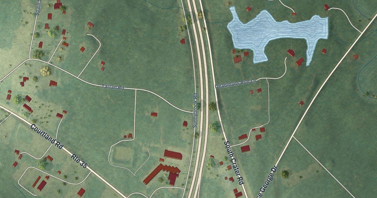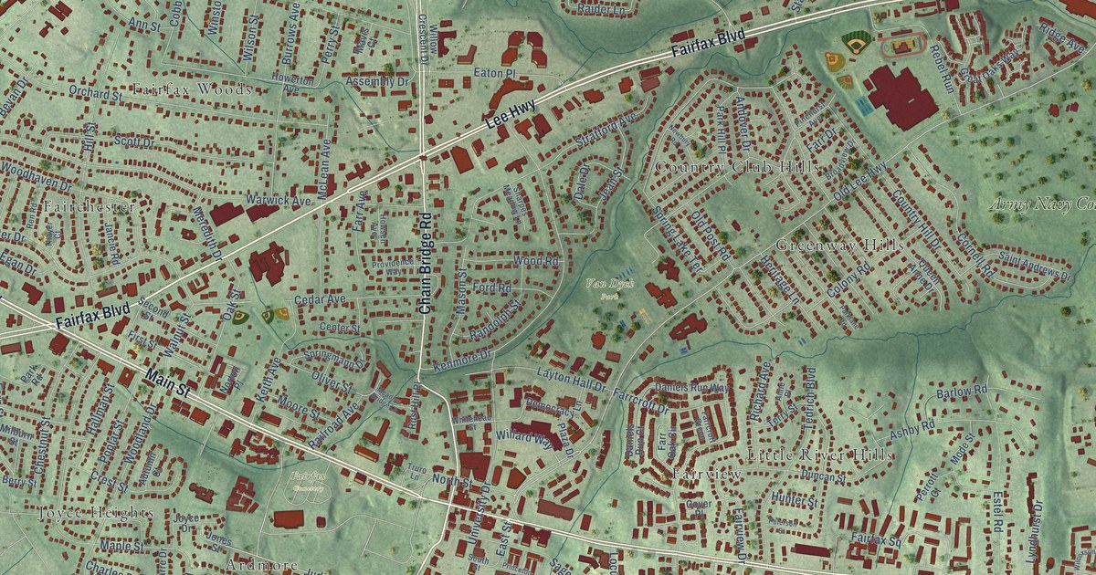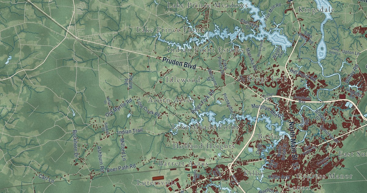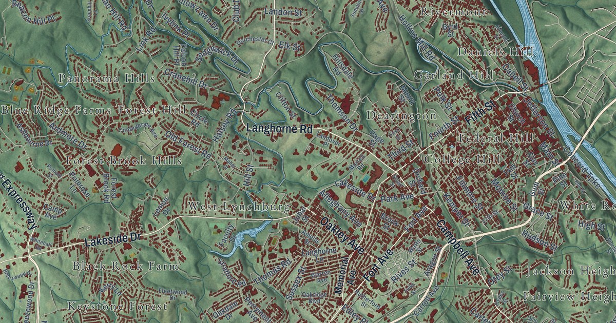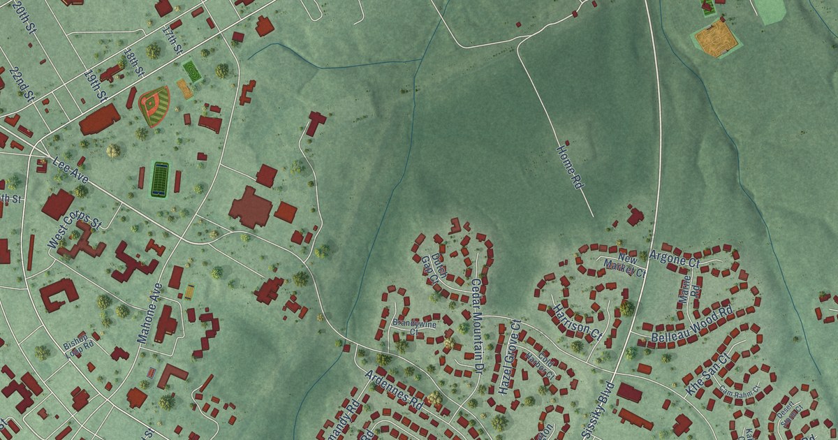
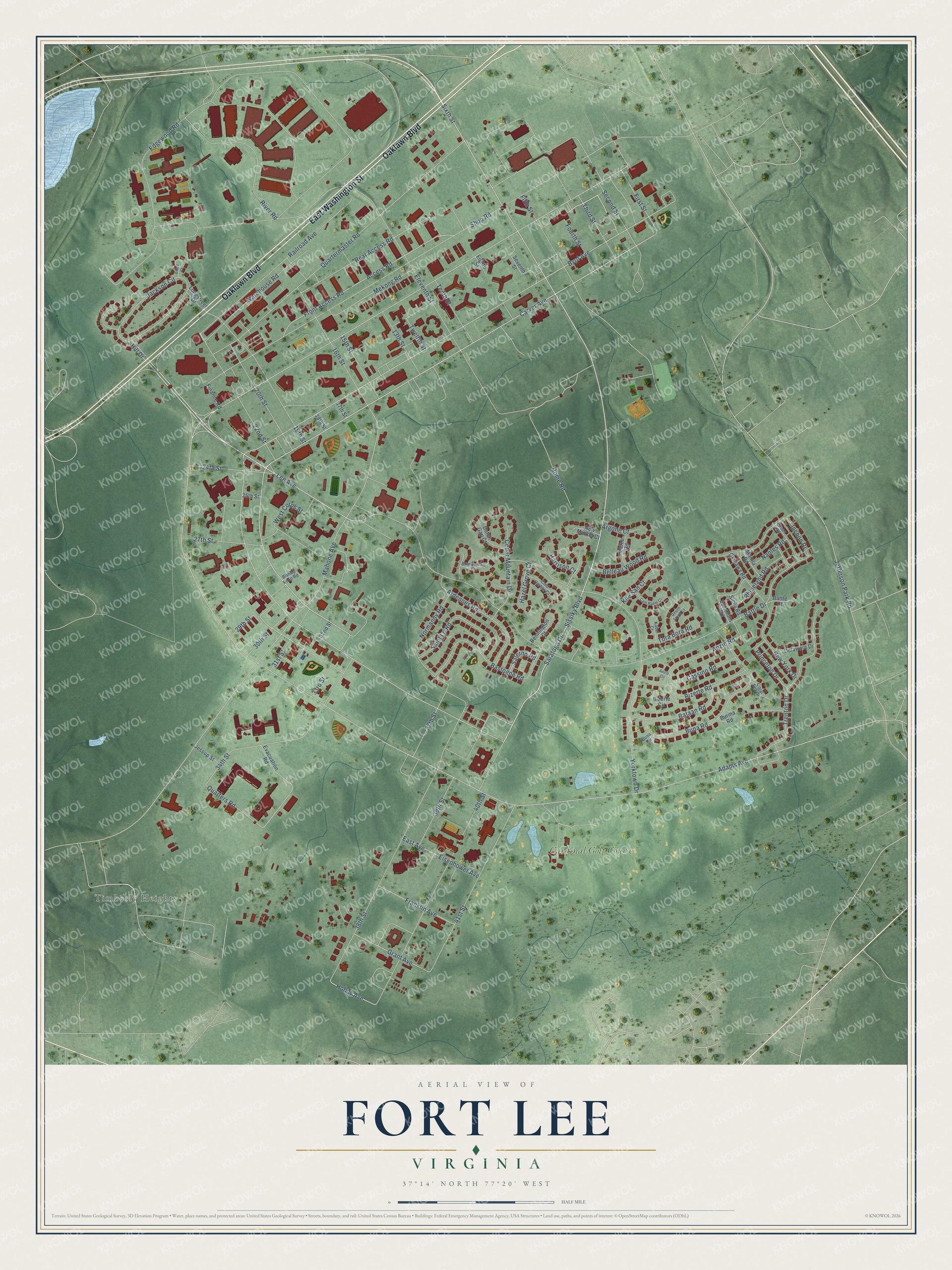
This beautifully detailed map of Fort Lee, Virginia was created in 2026 using aerial imagery combined with modern topographical, census, street and landmark data. It's a modern aerial view of Fort Lee in Prince George County, Virginia, that combines modern data with a vintage aesthetic. The roads feature printed names, and if you look closely you can find your exact house accurately shown in its correct location.
Explore an aerial view of Fort Lee, Virginia
On this map you'll find Timberly Heights, Cardinal Golf Course, East Washington Street, Oaklawn Boulevard, Saratoga Drive, Lee Avenue, Sixth Street, Carver Avenue, Quarters Road, Mahone Avenue, Hobby Avenue, Adams Avenue, and more. Each red shape is a building, so zoom in on the preview and look for yours.
Fort Lee is a community in Prince George County. Fort Lee sits about 4 miles west of Prince George, 4 miles northeast of Petersburg and 4 miles southeast of Colonial Heights. The map prints the town name in its title panel, with the coordinates below it.
Take a closer look at the Fort Lee map
Names on this map
These names are printed on this map.
Places: Timberly Heights and Cardinal Golf Course.
Streets and roads: East Washington Street, Oaklawn Boulevard, Saratoga Drive, Lee Avenue, Sixth Street, Carver Avenue, Quarters Road, Mahone Avenue, Hobby Avenue, Adams Avenue, Byrd Avenue, Shop Road.
More street names, A to Z
13th Street, 15th Street, 16th Street, 17th Street, 18th Street, 19th Street, 20th Street, 22nd Street, 24th Street, 25th Street, 27th Street, 29th Street, 30th Street, 31st Street, 32nd Street, 33rd Street, 34th Street, 37th Street, 38th Street, 39th Street, 40th Street, 41st Street, Access Road, Anzio Circle, Anzio Road, Ardennes Road, Argone Court, Bastogne Road, Bataan Road, Battle Court, Battle Drive, Belleau Wood Road, Bennington Court, Bishop Loop Road, Bizerte Circle, Bizerte Road, Brandywine Court, Buna Circle, Buna Road, Burma Road, Cam Rahm Court, Cassino Road, Cedar Mountain Drive, Cold Harbor Court, Coral Sea Drive, Delaware Drive, Desert Storm Court, Dutch Gap Court, East Avenue, Edgewood Road, Eighth Street, Eisenhower Avenue, Eleventh Street, Evacuation Road, Ewell Court, Fifth Street, Finance Road, First Street, Fourth Street, Franklin Avenue, Front Access Road, Grant Avenue, Harrison Court, Hazel Grove Court, Hill Drive, Home Road, Inchon Road, Jackson Circle, Jefferson Park Road, Jessup Street, Kabul Court, Khe San Court, Longstreet Drive, Manila Road, Marne Road, Mekong Road, Naples Road, New Market Court, New York Drive, Normandy Road, Okinawa Road, Princeton Drive, Puson Road, Quartermaster Road, Railroad Avenue, Rear Access Road, Rhineland Road, River Road, Saint Lo Road, Salerno Road, Second Street, Seventh Street, Sicily Road, Sissiky Boulevard, Solomons Road, Tenth Street, Third Street, Tora Bora Road, Trenton Drive, Twelfth Street, Warehouse Road, West Corps Street, Yorktown Drive.
See it on a wall
The Fort Lee map as a framed print. Swipe for more.


Created by KNOWOL in 2026. The buildings are small red shapes, the roads carry their printed names, and shaded relief shows the shape of the land. The title panel reads "AERIAL VIEW OF FORT LEE, VIRGINIA" with 37°14' NORTH 77°20' WEST.
Hang it in the hallway, the office or the cabin, or give it to someone who left Fort Lee and still calls it home. Open the preview and look for a street you know. See sizes and frames for the Fort Lee map.