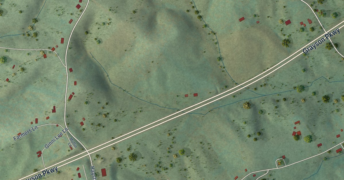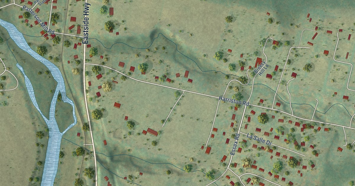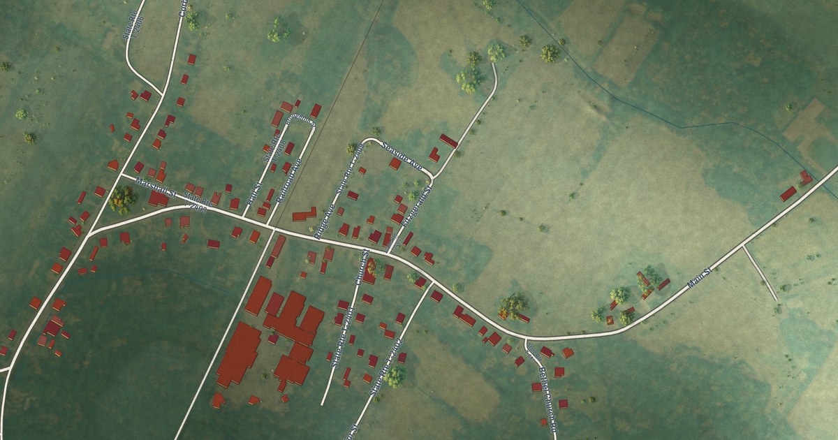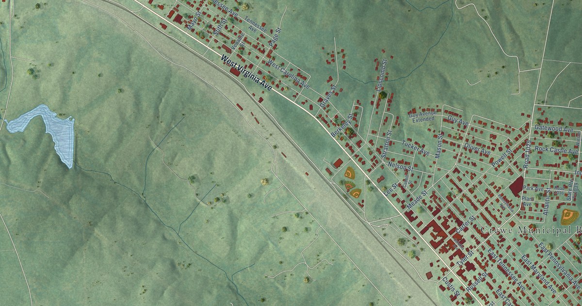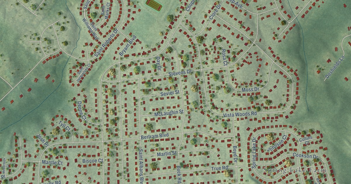
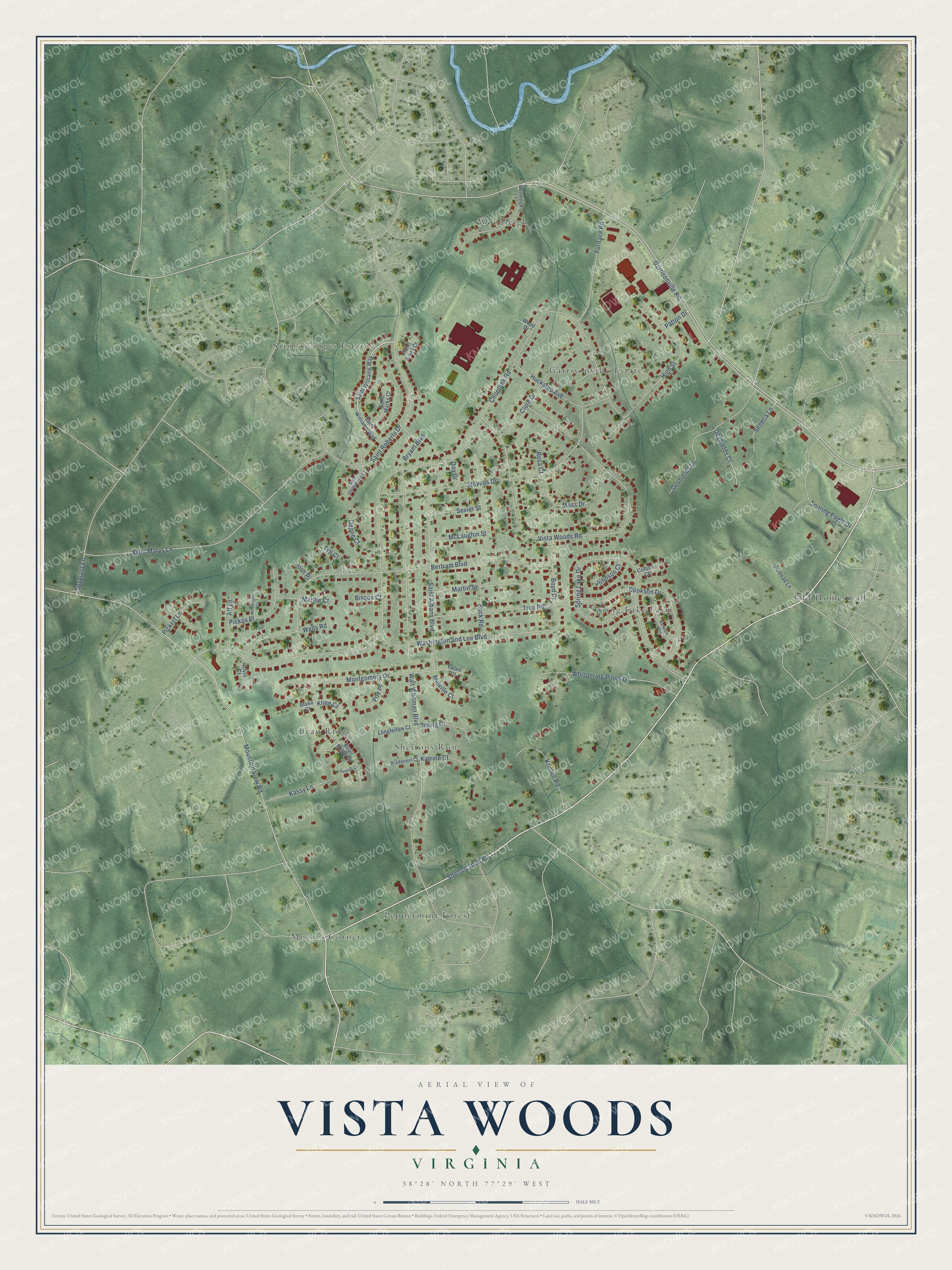
This beautifully detailed map of Vista Woods, Virginia was created in 2026 using aerial imagery combined with modern topographical, census, street and landmark data. It's a modern aerial view of Vista Woods in Stafford County, Virginia, that combines modern data with a vintage aesthetic. The roads feature printed names, and if you look closely you can find your exact house accurately shown in its correct location.
Explore an aerial view of Vista Woods, Virginia
On this map you'll find Spring Lake Farm, Moores Corner, Woodleigh, Sheltons Run, Saint Georges Estates, Old Homestead, Garrisonville Estates, Peppermint Forest, Beau Ridge, Shelton Shop Road, Choptank Road, Garrisonville Road, and more. Each red shape is a building, so zoom in on the preview and look for yours.
Vista Woods is a community in Stafford County. Vista Woods sits about 2 miles west of Park Ridge, 3 miles northwest of Embrey Mill and 3 miles north of Colonial Forge. The map prints the town name in its title panel, with the coordinates below it.
Take a closer look at the Vista Woods map
Names on this map
These names are printed on this map.
Places: Spring Lake Farm, Moores Corner, Woodleigh, Sheltons Run, Saint Georges Estates, Old Homestead, Garrisonville Estates, Peppermint Forest and Beau Ridge.
Streets and roads: Shelton Shop Road, Choptank Road, Garrisonville Road, Mountain View Road, Vista Woods Road, Bertram Boulevard, Spring Lake Drive, Saint Marys Lane, Stevens Drive, Bryant Boulevard, Walt Whitman Boulevard, Saint Roberts Drive.
More street names, A to Z
Alf Lane, Alvin Court, Beau Ridge Drive, Biscoe Court, Blake Court, Boyd Drive, Bradstreet Court, Buck Road, Burhead Lane, Clore Drive, Collins Court, Cookson Drive, Day Drive, Deene Court, Demian Court, Deshields Court, Deshields Lane, Furnace Road, High Street, Huckstep Avenue, Irving Court, Johnson Court, Josh Place, Kassy Lane, Katrine Court, Kline Court, Kristen Road, Longfellow Court, Mantle Court, Markham Way, Martin Street, McCormick Court, McLaughin Street, Melville Court, Montgomery Drive, Moss Drive, Patton Drive, Pickett Lane, Pickos Place, Poe Place, Rosa Court, Saint Albans Boulevard, Saint Jacquelyns Court, Saint Lisas Court, Saint Marks Court, Saint Williams Way, Seneca Lane, Sevier Street, Soaring Eagle Drive, Spyglass Lane, True Road, Twain Court, Tyll Court, Washington and Lee Boulevard, Wells Road, Whispering Pines Lane, Wood Drive, Woodleigh Lane.
See it on a wall
The Vista Woods map as a framed print. Swipe for more.


Created by KNOWOL in 2026. The buildings are small red shapes, the roads carry their printed names, and shaded relief shows the shape of the land. The title panel reads "AERIAL VIEW OF VISTA WOODS, VIRGINIA" with 38°28' NORTH 77°29' WEST.
Hang it in the hallway, the office or the cabin, or give it to someone who left Vista Woods and still calls it home. Open the preview and look for a street you know. See sizes and frames for the Vista Woods map.