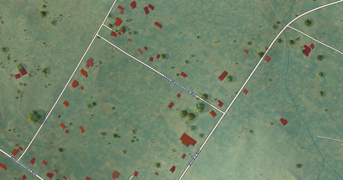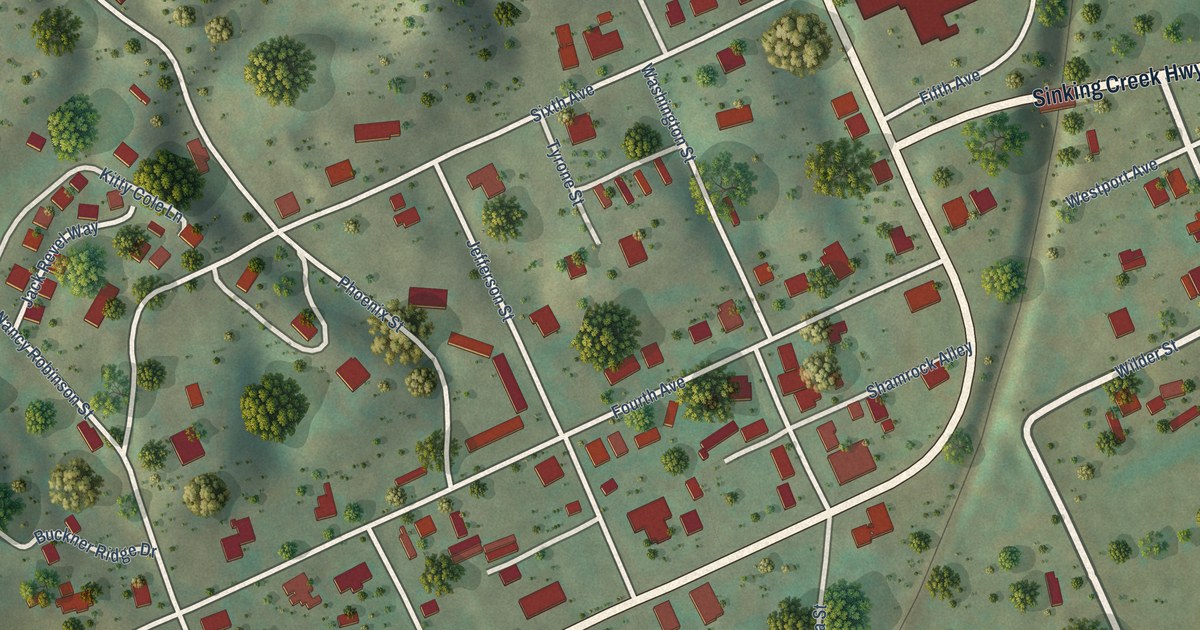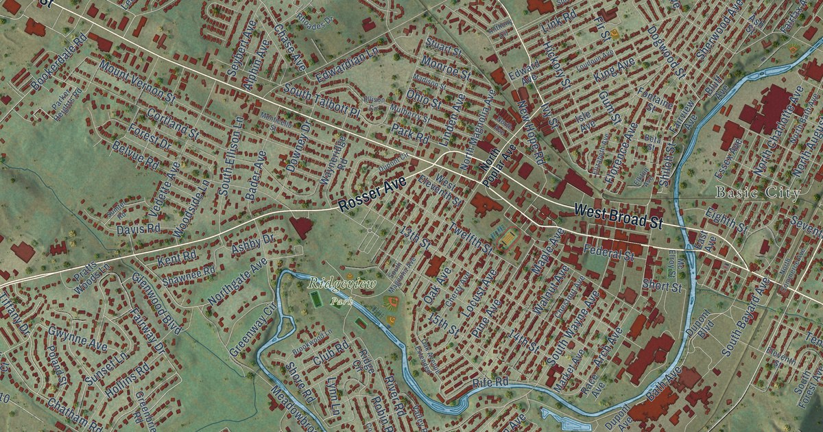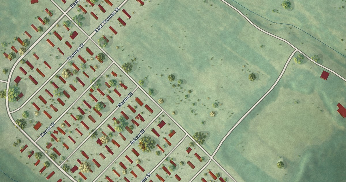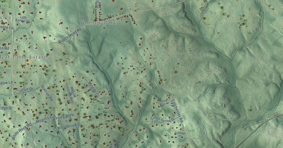
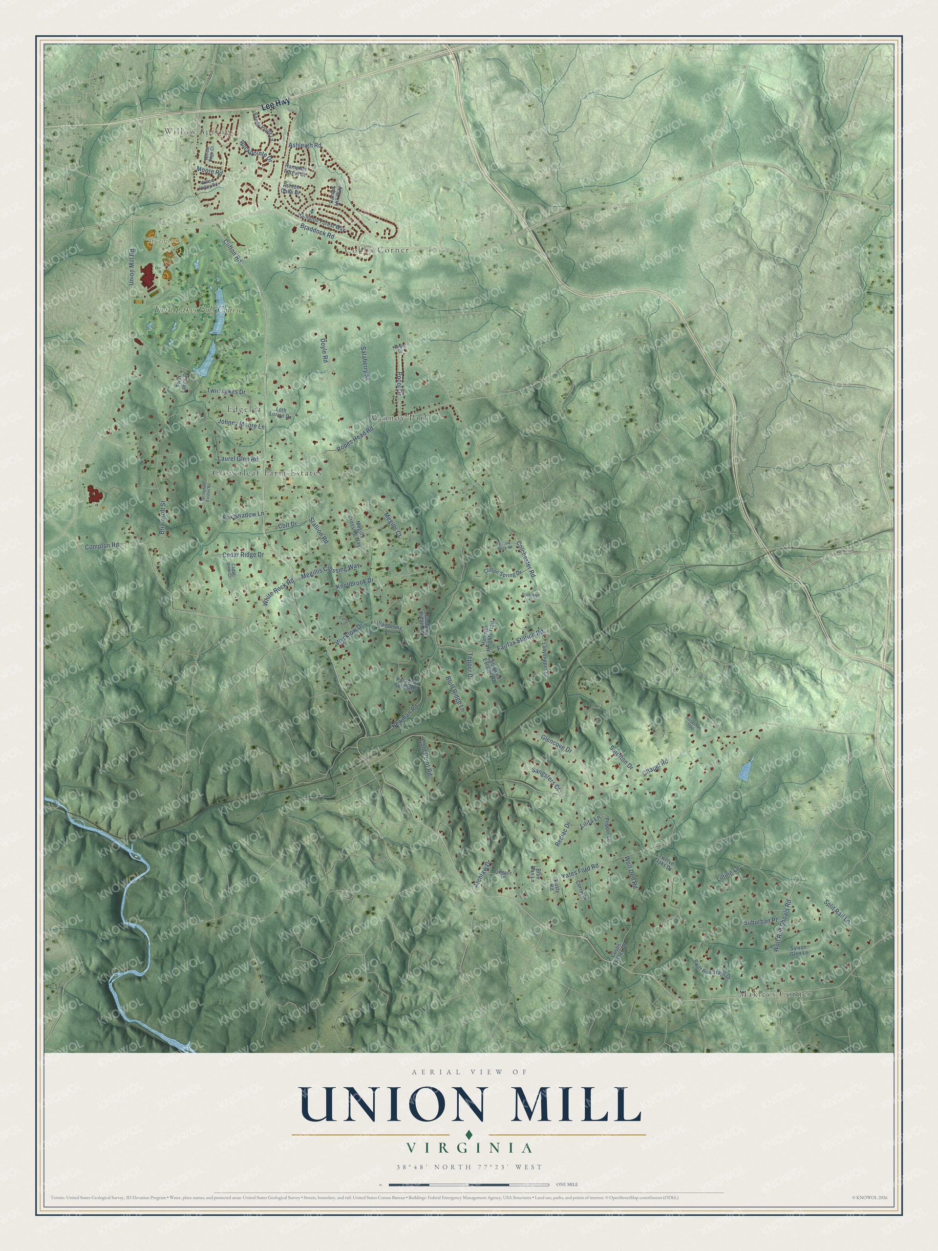
This beautifully detailed map of Union Mill, Virginia was created in 2026 using aerial imagery combined with modern topographical, census, street and landmark data. It's a modern aerial view of Union Mill in Fairfax County, Virginia, that combines modern data with a vintage aesthetic. The roads feature printed names, and if you look closely you can find your exact house accurately shown in its correct location.
Explore an aerial view of Union Mill, Virginia
On this map you'll find Willow Springs, Braddock Park, Makleys Corner, Cloverleaf Farm Estates, Vannoy Park, Cobbs Corner, Edgelea, Twin Lakes Golf Course, Lee Highway, Clifton Road, Union Mill Road, Colchester Road, and more. Each red shape is a building, so zoom in on the preview and look for yours.
Union Mill has a story worth telling. The Connection Newspapers group puts it this way: "In 1861, Union Mill Road was a dirt wagon track used primarily by local farmers. It ran south from Braddock road, and after meandering through the countryside on the east side of Little Rocky Run for nearly four miles, it crossed the Orange and Alexandria railroad tracks." Union Mills Station, next to the road and the tracks, was one of the first stops when the Orange and Alexandria Railroad opened in the early 1850s.
Union Mill is a community in Fairfax County. The Census Bureau counted 4,997 people here in 2020.
Take a closer look at the Union Mill map
Names on this map
These names are printed on this map.
Places: Willow Springs, Braddock Park, Makleys Corner, Cloverleaf Farm Estates, Vannoy Park, Cobbs Corner, Edgelea and Twin Lakes Golf Course.
Streets and roads: Lee Highway, Clifton Road, Union Mill Road, Colchester Road, Chapel Road, Braddock Road, Yates Ford Road, Compton Road, Newman Road, Ashleigh Road, Popes Head Road, Doyle Road.
More street names, A to Z
Archlaw Drive, Ashton Oaks Drive, Blue Dan Lane, Bluff Ridge Lane, Brantleigh Place, Briarcroft Street, Candy Lane, Castle Ridge Road, Cedar Ridge Drive, Cedar View Court, Clifton Spring Drive, Cold Point Road, Colewood Estates Road, Colt Drive, Corral Drive, Custis Acres Drive, Fairfax Station Road, Fox Shadow Lane, Glencove Drive, Hamlet Hill Way, Hampton Forest Court, Hampton Forest Way, Hanover Heights Trail, Harper Drive, Horseshoe Trail, Johnny Moore Lane, Knollbrook Drive, Ladyslipper Lane, Laurel Glen Road, Lilita Lane, Lilting Lane, Loth Lorian Drive, Megillis Crossing Way, Megills Court, Megills Crossing Way, Moore Road, Paradise Spring Road, Pepper Lane, Pocol Drive, Quinque Lane, Redlac Drive, Rockpointe Drive, Rusty Road, Salaberry Street, Sandy Point Lane, Sangsters Court, Split Rail Lane, Springdale Estates Road, Stallion Road, Suburban Place, Surbiton Drive, Swift Run Trails Drive, Sylvan Glen Lane, Tepper Drive, Twelve Oaks Drive, Twin Lakes Court, Twin Lakes Drive, Wandering Lane, White Rock Road, Willow Edge Court, Willow Valley Road, Wolf Den Road, Wolf Run Shoals Road, Wycklow Drive, Yellow Brick Road.
See it on a wall
The Union Mill map as a framed print. Swipe for more.


Created by KNOWOL in 2026. The buildings are small red shapes, the roads carry their printed names, and shaded relief shows the shape of the land. The title panel reads "AERIAL VIEW OF UNION MILL, VIRGINIA" with 38°48' NORTH 77°23' WEST.
It looks right in a kitchen, an office or a den, and it's a gift for anyone who grew up in Union Mill or moved away. Open the preview and find your street. See sizes and frames for the Union Mill map.