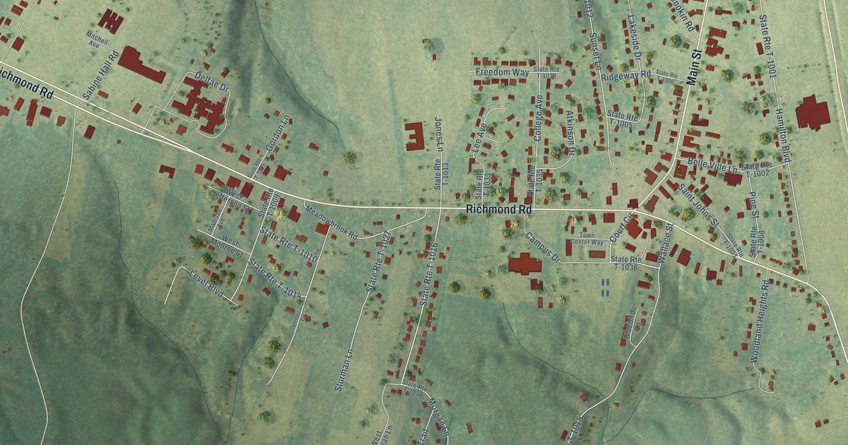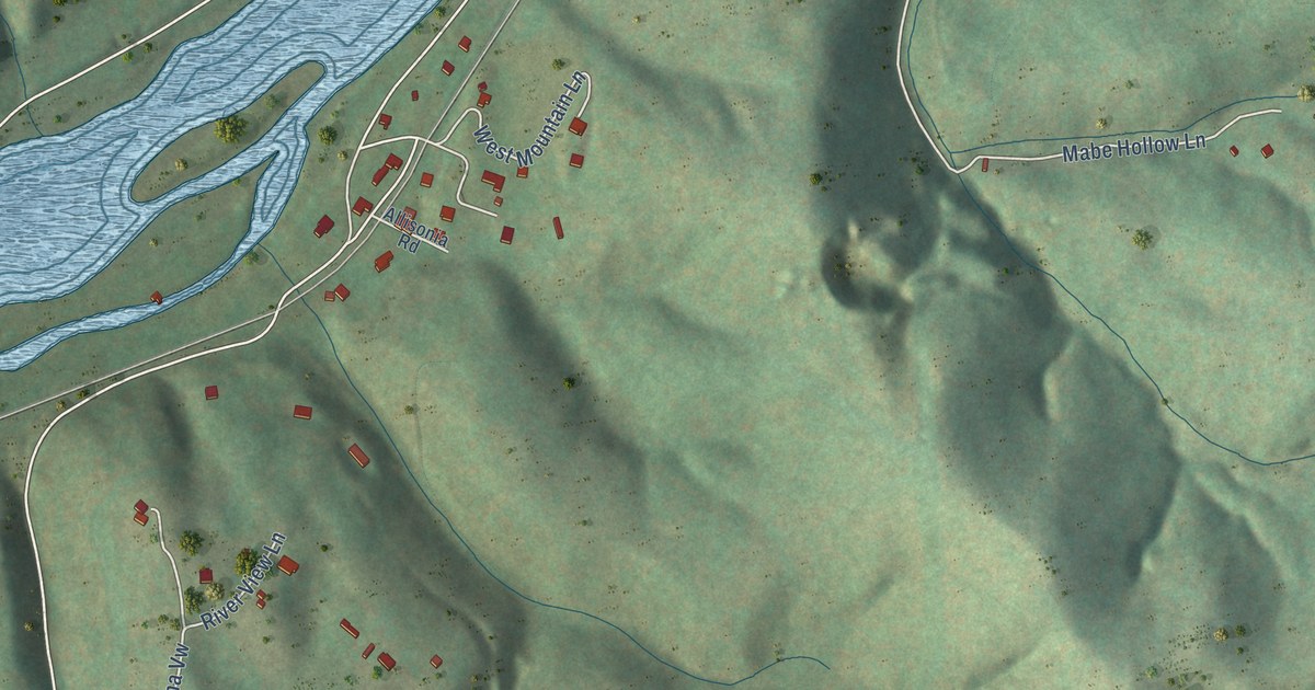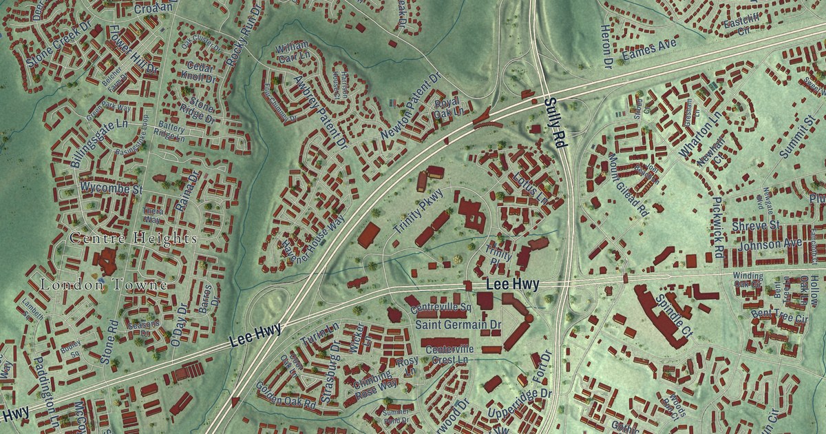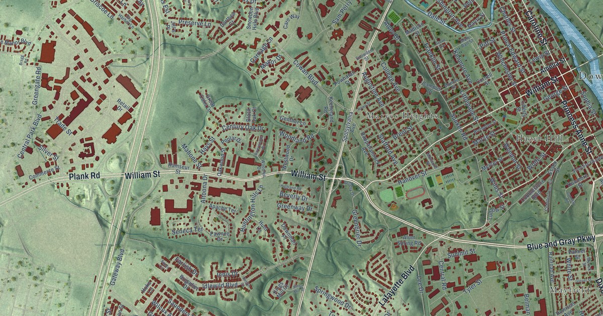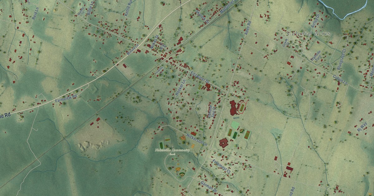
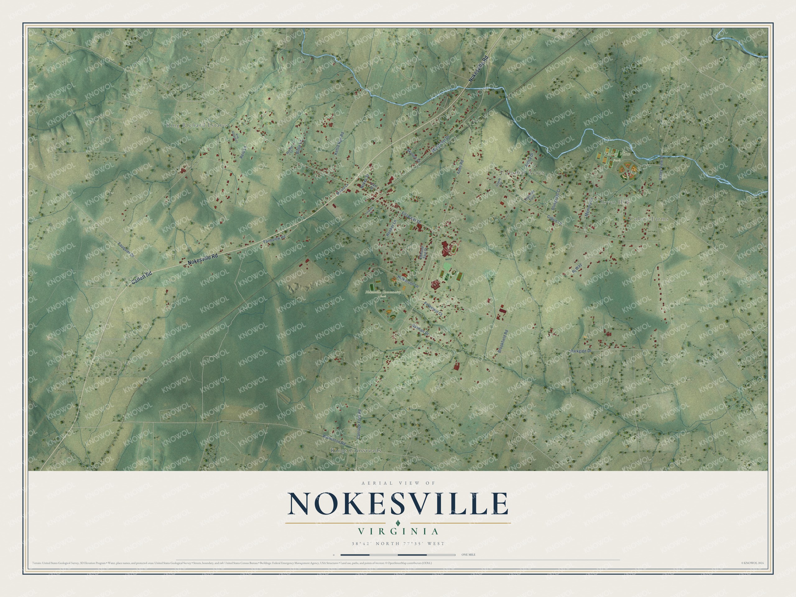
This beautifully detailed map of Nokesville, Virginia was created in 2026 using aerial imagery combined with modern topographical, census, street and landmark data. It's a modern aerial view of Nokesville in Prince William County, Virginia, that combines modern data with a vintage aesthetic. The roads feature printed names, and if you look closely you can find your exact house accurately shown in its correct location.
Explore an aerial view of Nokesville, Virginia
On this map you'll find Colvin Farms, Clover Hill, King Richard Estates, Nokesville Community Park, Valley View Park, Kings Crossroads, Colonial Acres, Catlett Road, Nokesville Road, Fauquier Drive, Aden Road, Reid Lane, and more. Each red shape is a building, so zoom in on the preview and look for yours.
Nokesville has a story worth telling. Nokesville was named for the Nokes family, who once owned the nearby White Hall. In 1941 the village was still the center of a Dunkard community, with a square frame building that had been a Dunkard academy standing in its middle. That's from the Virginia Writers Project.
Nokesville is a community in Prince William County. The Census Bureau counted 1,619 people here in 2020.
Take a closer look at the Nokesville map
Names on this map
These names are printed on this map.
Places: Colvin Farms, Clover Hill, King Richard Estates, Nokesville Community Park, Valley View Park, Kings Crossroads and Colonial Acres.
Streets and roads: Catlett Road, Nokesville Road, Fauquier Drive, Aden Road, Reid Lane, Parkgate Drive, Fitzwater Drive, Colvin Lane, Valley View Drive, Carriage Ford Road, Marsteller Drive, Memory Lane.
More street names, A to Z
Airlea Drive, Bittle Lane, Bluegrass Court, Brandy Lane, Brookfield Road, Cowne Court, Edmund Saul Court, Farmview Road, Foremost Court, Forsythia Lane, Free Street, Garman Drive, Hickerson Lane, Hooker Lane, Kettle Run Road, King Richards Court, Minute Lane, Nokes Street, Rj Way, Skylark Drive, Trailside Turn, Warrenton Road.
See it on a wall
The Nokesville map as a framed print. Swipe for more.


Created by KNOWOL in 2026. The buildings are small red shapes, the roads carry their printed names, and shaded relief shows the shape of the land. The title panel reads "AERIAL VIEW OF NOKESVILLE, VIRGINIA" with 38°42' NORTH 77°35' WEST.
It looks right in a kitchen, an office or a den, and it's a gift for anyone who grew up in Nokesville or moved away. Open the preview and find your street. See sizes and frames for the Nokesville map.