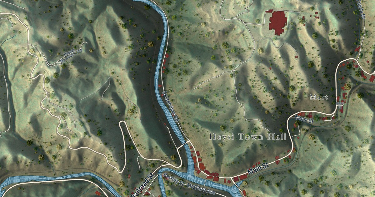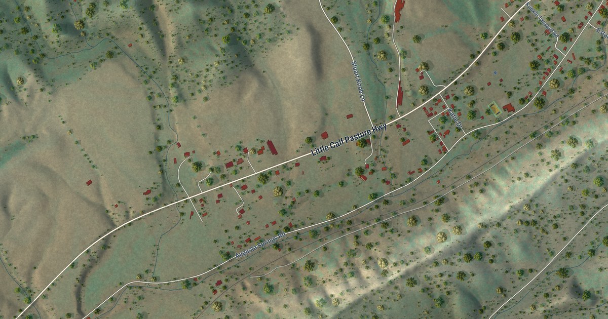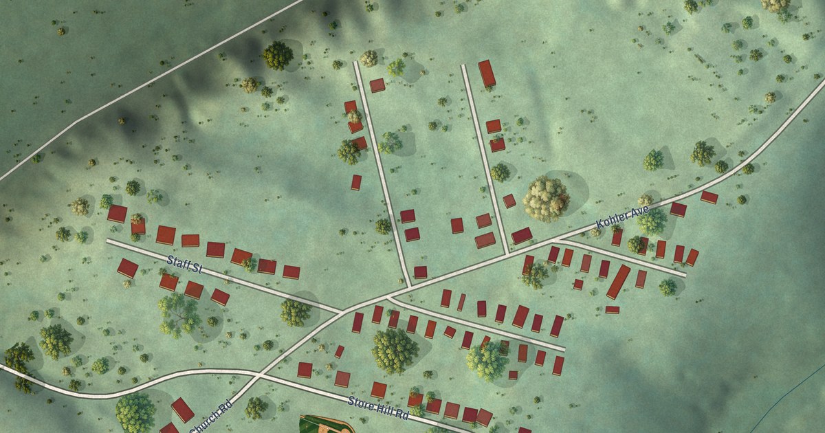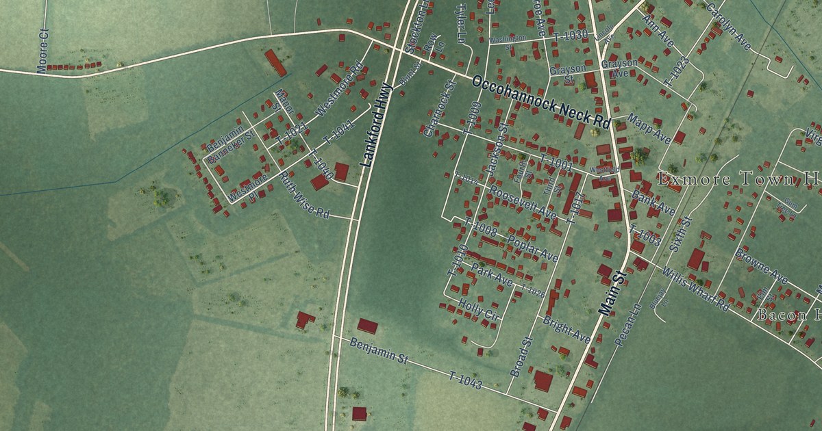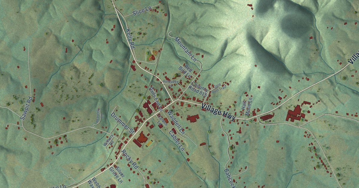
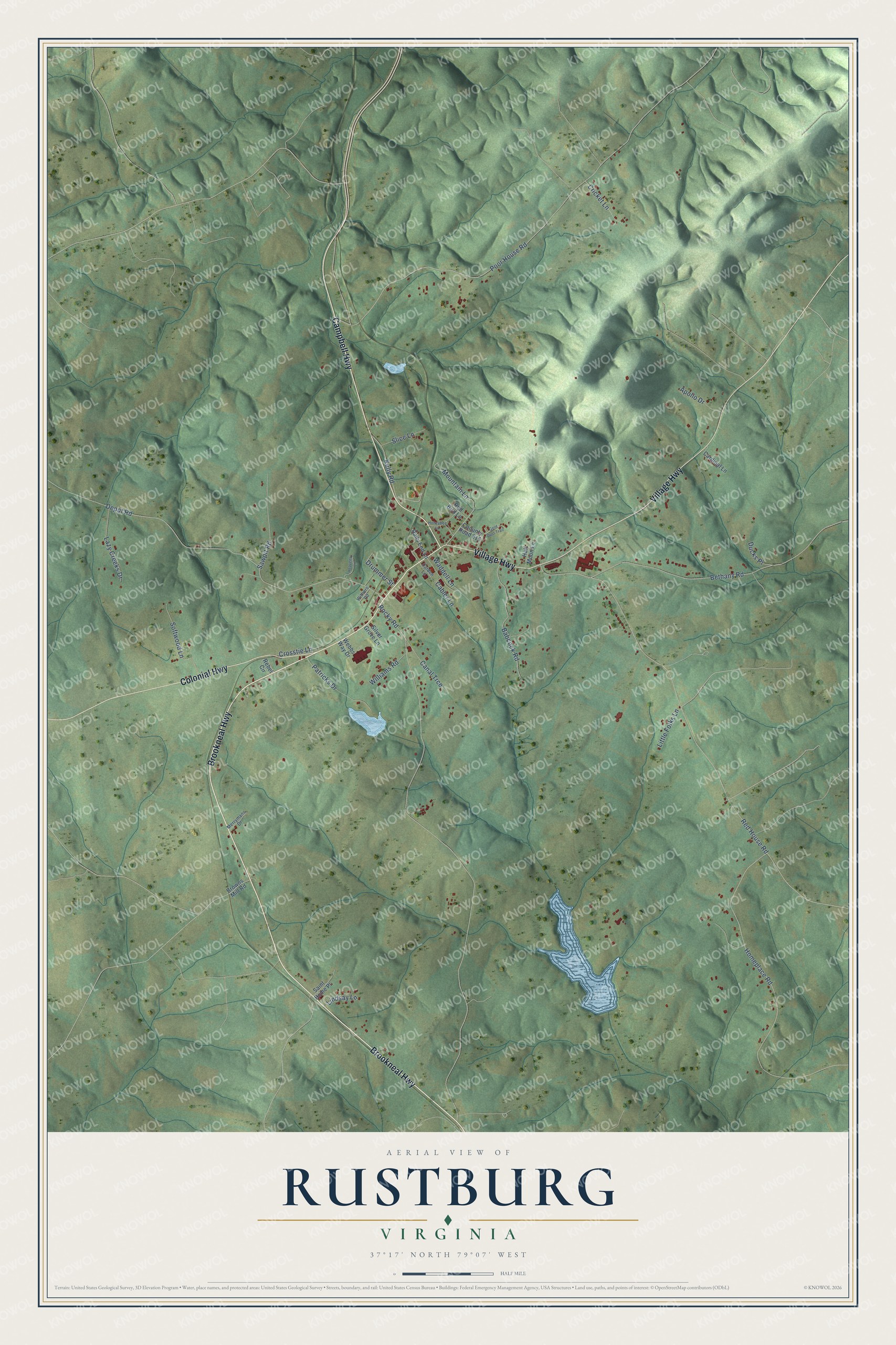
This beautifully detailed map of Rustburg, Virginia was created in 2026 using aerial imagery combined with modern topographical, census, street and landmark data. It's a modern aerial view of Rustburg in Campbell County, Virginia, that combines modern data with a vintage aesthetic. The roads feature printed names, and if you look closely you can find your exact house accurately shown in its correct location.
Explore an aerial view of Rustburg, Virginia
On this map you'll find Brookneal Highway, Village Highway, Campbell Highway, Colonial Highway, Rocky Road, Poor House Road, Red House Road, Depot Road, Homeplace Road, Bethany Road, Mountain Lane, Babcock Road, and more. Each red shape is a building, so zoom in on the preview and look for yours.
Here is a piece of Rustburg history, in the words of the record. The Virginia Department of Historic Resources puts it this way: "Rustburg was named after Jeremiah Rust, who patented land here in 1780. Rust donated 50 acres of land, known as Rust Meadows, in 1784, for the county seat of Campbell County." A village grew up around the courthouse. In 1786 Henry Finch opened an inn at his home nearby, which grew into the Fountain Hotel about 1795 and stayed a favorite stopping and meeting place into the 20th century.
Rustburg is a community in Campbell County. The Census Bureau counted 1,281 people here in 2020.
Take a closer look at the Rustburg map
Names on this map
These names are printed on this map.
Streets and roads: Brookneal Highway, Village Highway, Campbell Highway, Colonial Highway, Rocky Road, Poor House Road, Red House Road, Depot Road, Homeplace Road, Bethany Road, Mountain Lane, Babcock Road.
More street names, A to Z
Apollo Drive, Browns Mill Road, Cabler Lane, Canal Trce, Carden Lane, Cardinal Lane, Coounty Road 815, Cricket Lane, Crosstie Lane, Drummer Street, Ducks Place, Gold Dust Trail, Half Moon Lane, Heavenly Lane, Honeybee Lane, Kelly Road, Lazy Creeks Drive, Lindsay Lane, Little Folks Lane, Merrymans Drive, Patricks Drive, Rails End Lane, Rebel Circle, Red Bird Lane, Saint Home Place, Sawpit Road, Silver Grove Lane, Slice Lane, Softwood Lane, Waddell Lane, Webbs Way Drive, Williams Road, Withers Road.
See it on a wall
The Rustburg map as a framed print. Swipe for more.


Created by KNOWOL in 2026. The buildings are small red shapes, the roads carry their printed names, and shaded relief shows the shape of the land. The title panel reads "AERIAL VIEW OF RUSTBURG, VIRGINIA" with 37°17' NORTH 79°07' WEST.
It suits a den, a classroom or a front hall, and it makes a gift for anyone with Rustburg roots. Open the preview and find the block you know. See sizes and frames for the Rustburg map.