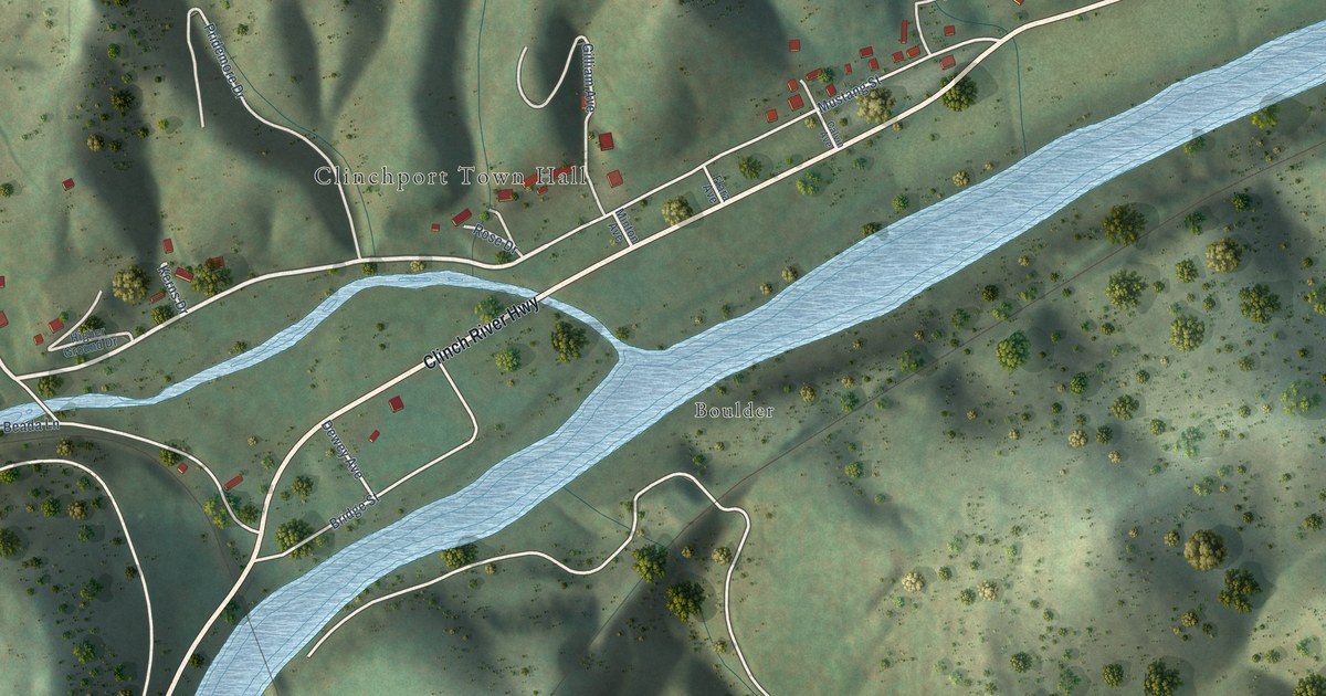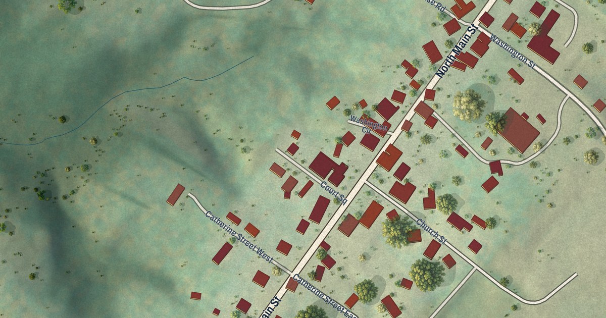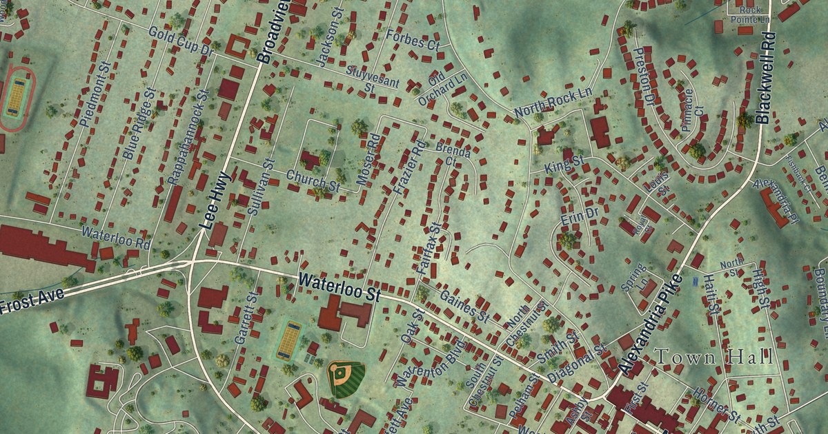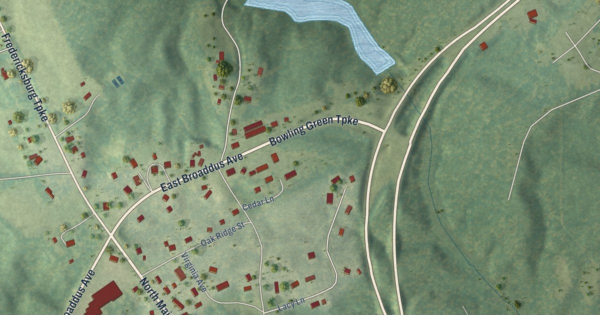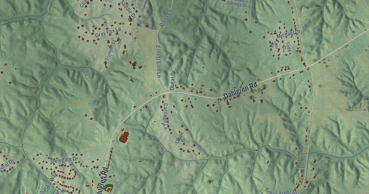
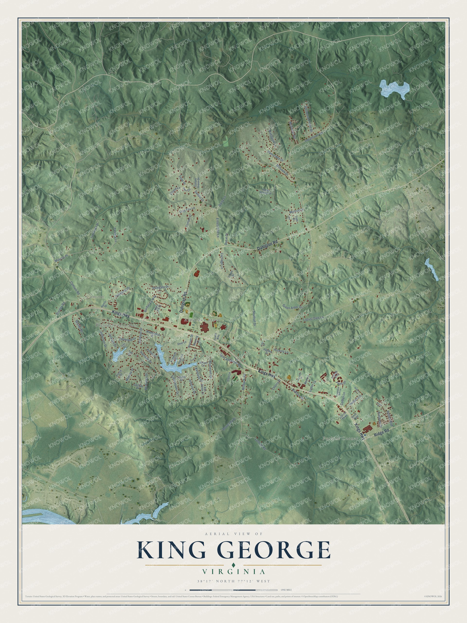
This beautifully detailed map of King George, Virginia was created in 2026 using aerial imagery combined with modern topographical, census, street and landmark data. It's a modern aerial view of King George in King George County, Virginia, that combines modern data with a vintage aesthetic. The roads feature printed names, and if you look closely you can find your exact house accurately shown in its correct location.
Explore an aerial view of King George, Virginia
On this map you'll find Purkins Corner, Comorn, Arnolds Corner, Presidential Lakes, Kings Highway, Dahlgren Road, Ridge Road, Indiantown Road, Madison Drive, Comorn Road, Michael Drive, Muscoe Place, and more. Each red shape is a building, so zoom in on the preview and look for yours.
Every town has a first chapter, and King George is no exception. The King George County Courthouse, finished in 1923 to the design of Fredericksburg architect E. G. Heflin, follows the old Virginia temple form, with a pedimented portico and Roman Doric columns. The county was formed in 1720, and the building was at least its third courthouse. That's from the Society of Architectural Historians.
King George is a community in King George County. The Census Bureau counted 4,970 people here in 2020.
Take a closer look at the King George map
Names on this map
These names are printed on this map.
Places: Purkins Corner, Comorn, Arnolds Corner and Presidential Lakes.
Streets and roads: Kings Highway, Dahlgren Road, Ridge Road, Indiantown Road, Madison Drive, Comorn Road, Michael Drive, Muscoe Place, Locust Dale Lane, Cox Lane, Roosevelt Drive, Colbys Lane.
More street names, A to Z
Arthur Drive, Barbara's Way, Carriage Lane, Chaps Drive, Chase Lane, Cherry Street, Cleveland Drive, Daisy Lane, Deer Lane, Delegate Drive, Den Circle, Ducat Drive, Eisenhower Drive, Ernest Ellis Lane, Fairgrounds Road, Faith Drive, Foxes Way, Gallant Green Drive, Garfield Drive, Gray Fox Lane, Green Arbor Drive, Grover Drive, Hancock Circle, Harris Drive, Harrison Drive, Hayden Drive, Hickory Lane, Hoover Drive, Hudson Lane, Hudson Road, Inaugural Drive, Indian Springs Drive, Jackson Drive, Jefferson Drive, Johnson Drive, Journal Parkway, Kenmore Circle, Kennedy Drive, Kings Drive, Lincoln Drive, Linda Lane, Lothian Road, Luther Lane, Manning Drive, Mary T'S Court, Mattaponi Lane, McDaniel Road, McKinley Drive, Millbank Road, Mohawk Drive, Monroe Drive, Mount Ida Drive, Pamunkey Drive, Paradise Lane, Pierce Court, Pineview Drive, Rectory Lane, Robert Drive, Rollins Boulevard, Saddle Drive, Saint Anthonys Road, Sherwood Forest Drive, Smie Way, Southall Drive, Stanley Road, Taft Court, Tinsbloom Mill Lane, Todd Street, Tomahawk Drive, Truman Drive, Trumpet Court, Tyler Court, Van Buren Drive, Vintage Way, Walkers Lane, Washington Drive, Wilson Circle, Zepp Drive.
See it on a wall
The King George map as a framed print. Swipe for more.


Created by KNOWOL in 2026. The buildings are small red shapes, the roads carry their printed names, and shaded relief shows the shape of the land. The title panel reads "AERIAL VIEW OF KING GEORGE, VIRGINIA" with 38°17' NORTH 77°12' WEST.
Hang it in the hallway, the office or the cabin, or give it to someone who left King George and still calls it home. Open the preview and look for a street you know. See sizes and frames for the King George map.