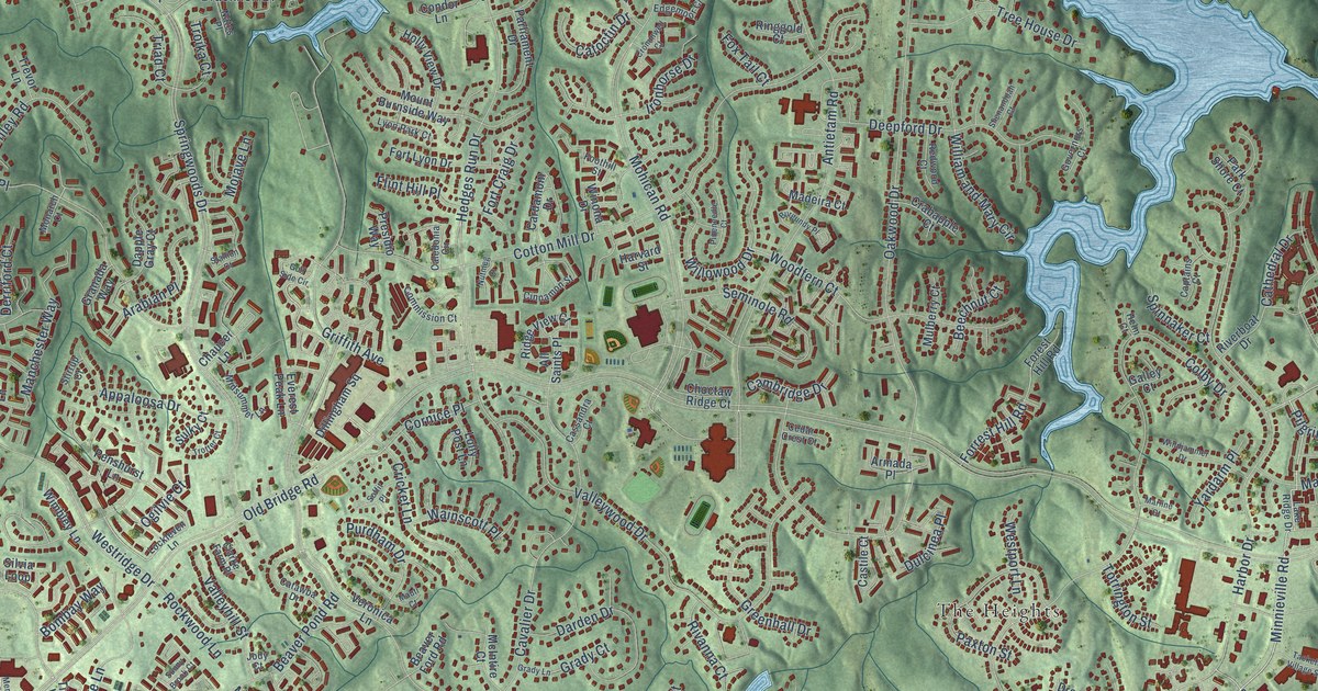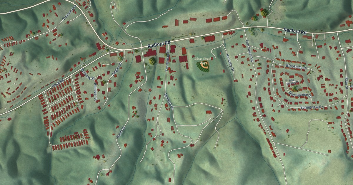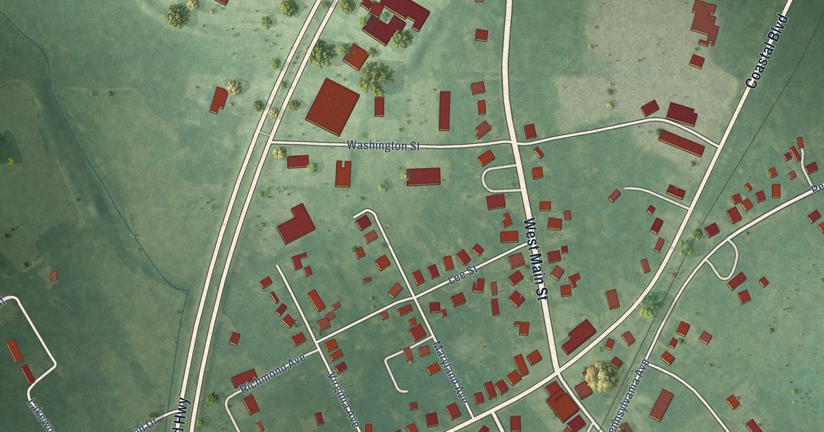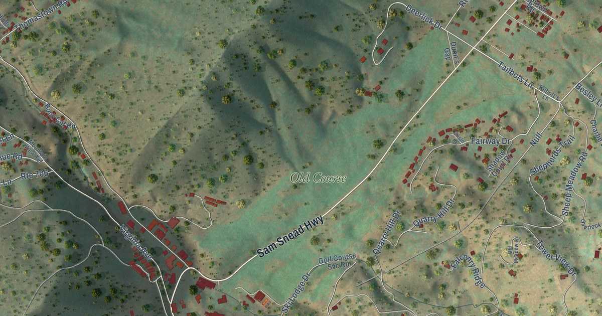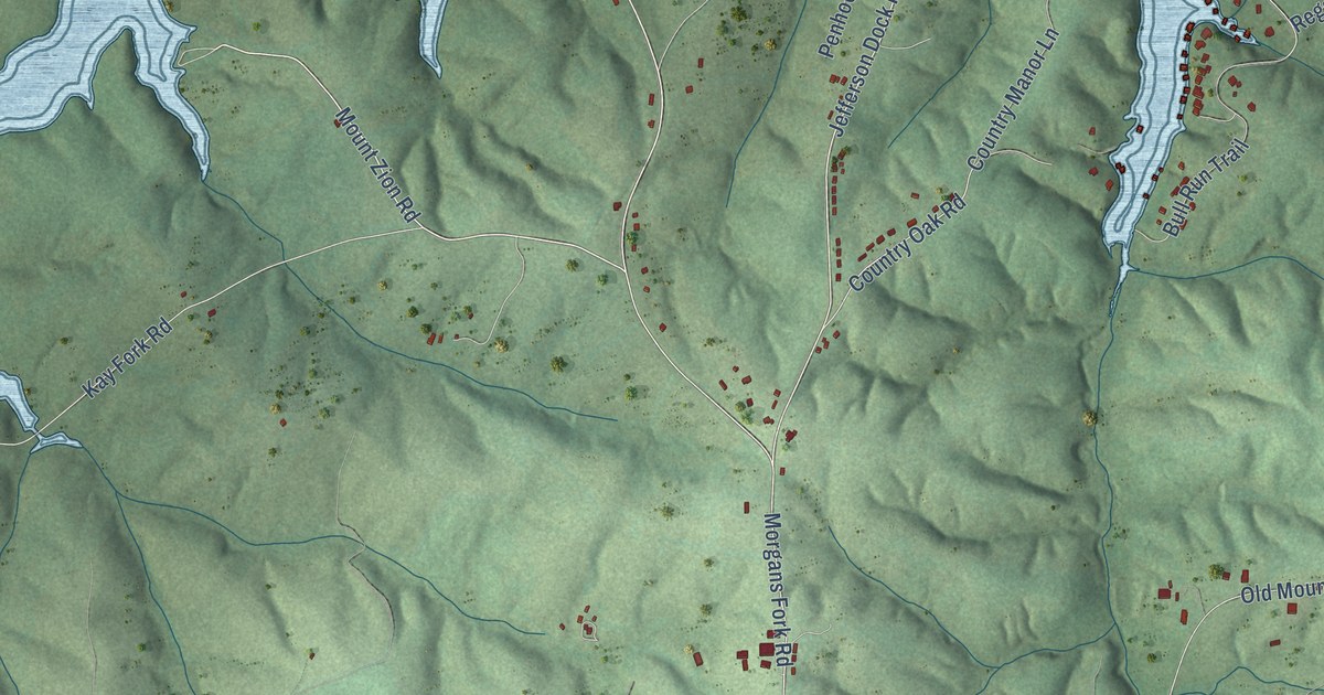
This beautifully detailed map of Penhook, Virginia was created in 2026 using aerial imagery combined with modern topographical, census, street and landmark data. It's a modern aerial view of Penhook in Franklin County, Virginia, that combines modern data with a vintage aesthetic. The roads feature printed names, and if you look closely you can find your exact house accurately shown in its correct location.
Explore an aerial view of Penhook, Virginia
On this map you'll find Arrowhead, Colonial Turnpike, Old Franklin Turnpike, Waters Edge Drive, Morgans Fork (Sr 920) Road, Mount Zion Road, Sandpiper Circle, Jefferson Dock Road, Waters Edge Road, Marina Bay Drive, Sconset Drive, Morgans Fork Road, and more. Each red shape is a building, so zoom in on the preview and look for yours.
Penhook has a story worth telling. Penhook was a station on the little Franklin and Pittsylvania Railroad. When the Southern ran the line, it built nine stout stations between 1900 and 1910, and they soon grew into hustling little community centers, since all the freight, mail and produce passed through them. Once, when the train overtook a local preacher walking near Penhook and the engineer stopped to offer him a ride, the preacher declined, saying he was in a hurry. That's from the F and P Railroad history by A. D. Ramsey.
Penhook is a community in Franklin County. The Census Bureau counted 782 people here in 2020.
Take a closer look at the Penhook map
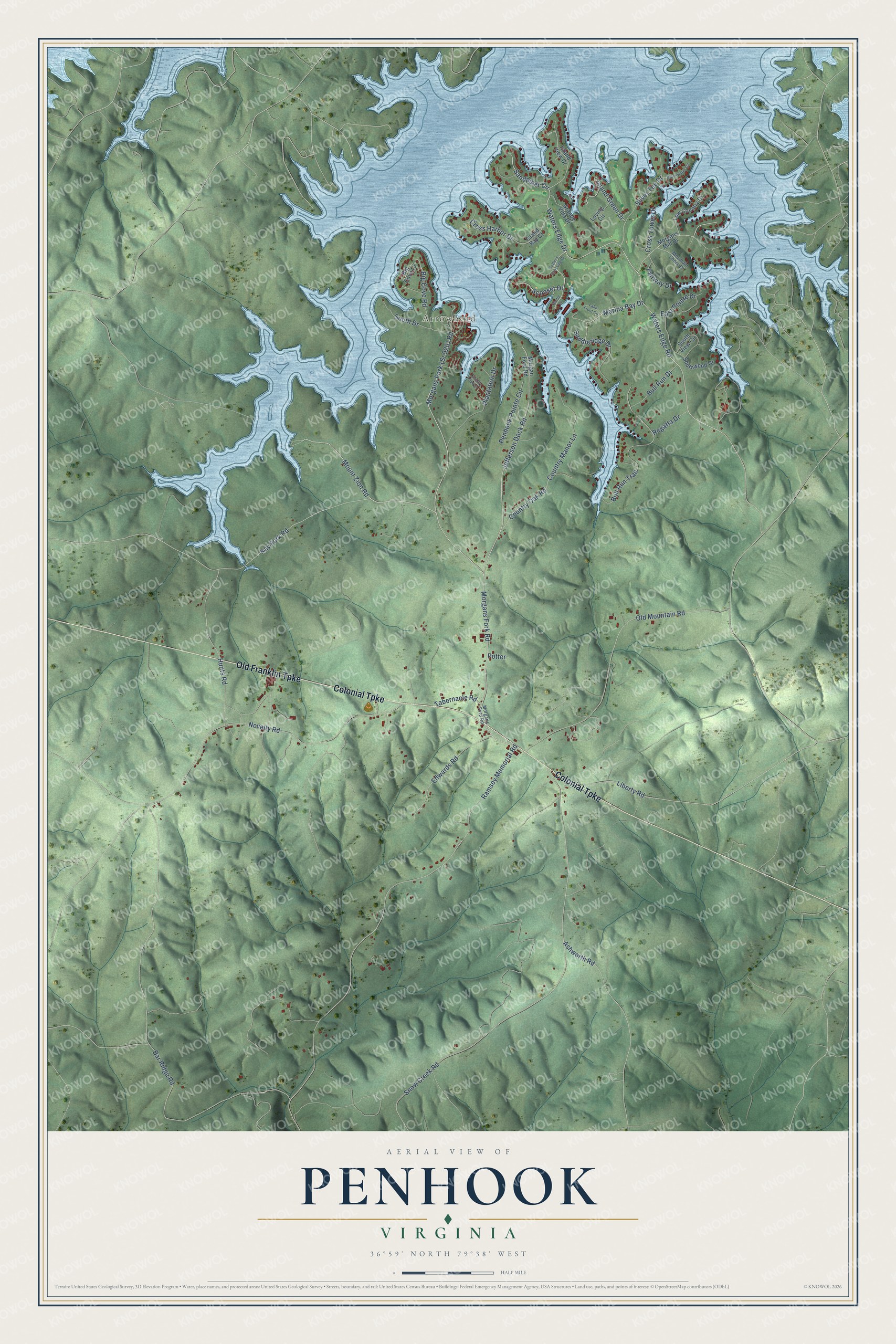
Names on this map
These names are printed on this map.
Places: Arrowhead.
Streets and roads: Colonial Turnpike, Old Franklin Turnpike, Waters Edge Drive, Mount Zion Road, Sandpiper Circle, Jefferson Dock Road, Waters Edge Road, Marina Bay Drive, Sconset Drive, Morgans Fork Road, Cross Tower Drive, Fairway Drive.
More street names, A to Z
Ashworth Road, Bar Ridge Road, Big Cove Drive, Big Cove Road, Birdie Lane, Blackwater Circle, Bull Run Drive, Bull Run Trail, Country Club Court, Country Manor Lane, Country Oak Road, Cross Harbor Drive, East Pointe Drive, Edwards Road, Golfer's Crossing Drive, Grande Villa Drive, Hunts Road, Island Bay Court, Island Green Drive, Island View Drive, Kay Fork Road, Lake Front Circle, Liberty Road, Loving Circle, Low Country Drive, Morgan Ford Road, Morgans Ford Road, Morgans Mill Drive, Mountain Shore Drive, Novelty Road, Old Mountain Road, Penhook Pointe Circle, Plantation Drive, Potter, Ramsey Memorial Road, Regatta Drive, Saddleridge Drive, Silver Tee Drive, Snow Creek Road, South Drive, South View Circle, Southwood Drive, Tabernacle Road.
See it on a wall
The Penhook map as a framed print. Swipe for more.


Created by KNOWOL in 2026. The buildings are small red shapes, the roads carry their printed names, and shaded relief shows the shape of the land. The title panel reads "AERIAL VIEW OF PENHOOK, VIRGINIA" with 36°59' NORTH 79°38' WEST.
It looks right in a kitchen, an office or a den, and it's a gift for anyone who grew up in Penhook or moved away. Open the preview and find your street. See sizes and frames for the Penhook map.