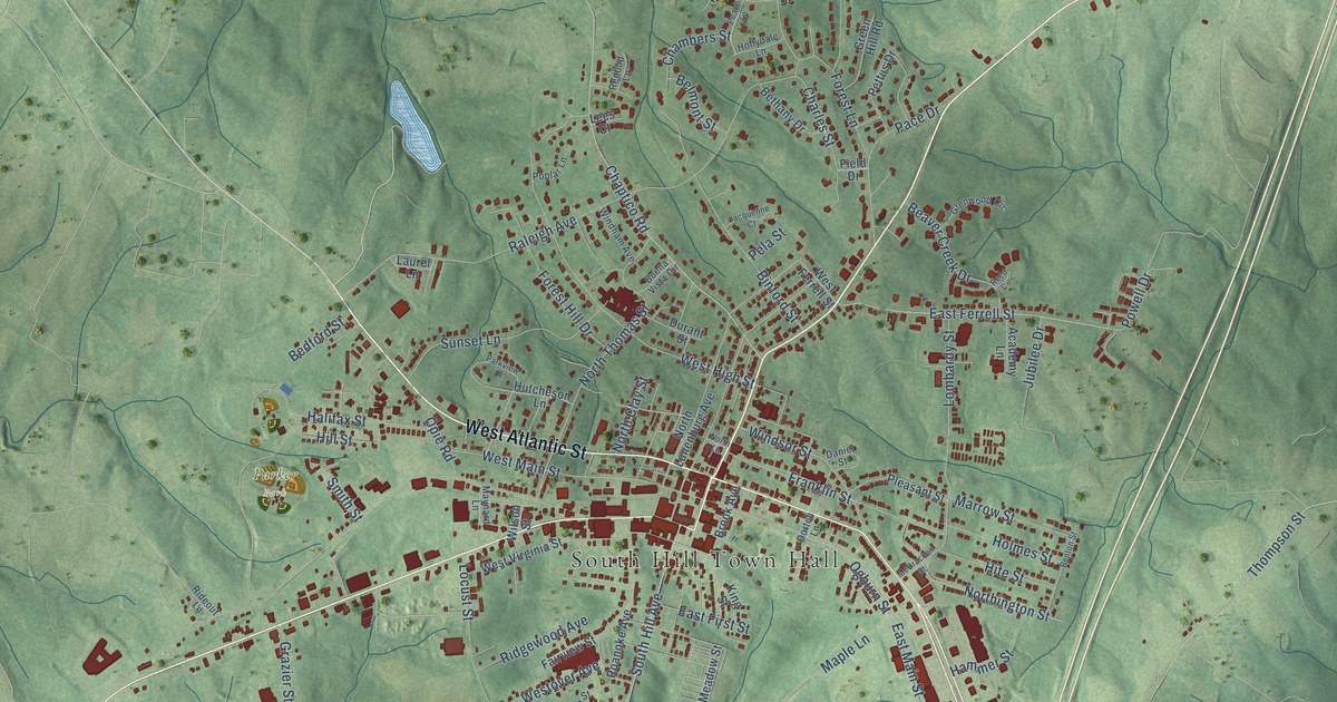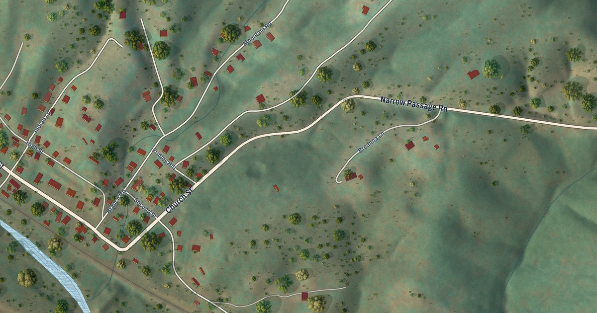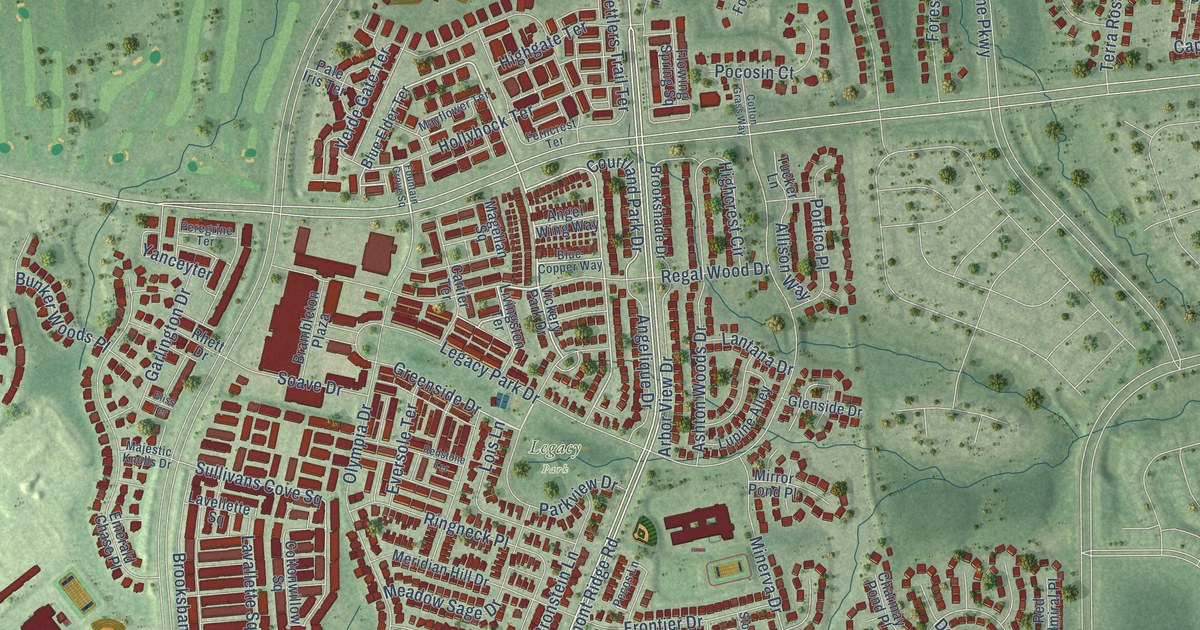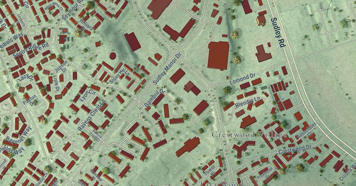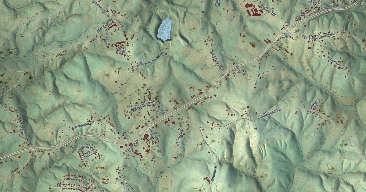
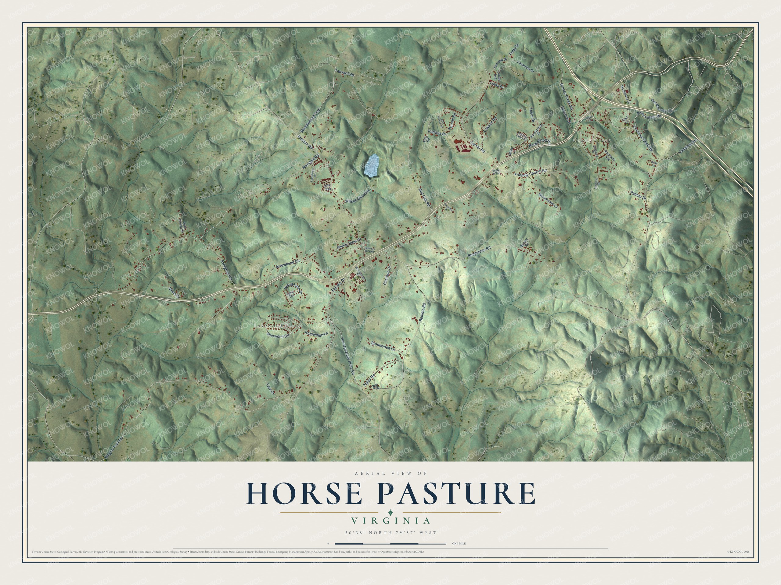
This beautifully detailed map of Horse Pasture, Virginia was created in 2026 using aerial imagery combined with modern topographical, census, street and landmark data. It's a modern aerial view of Horse Pasture in Henry County, Virginia, that combines modern data with a vintage aesthetic. The roads feature printed names, and if you look closely you can find your exact house accurately shown in its correct location.
Explore an aerial view of Horse Pasture, Virginia
On this map you'll find Lakewood Forest, Grassy Creek, Rocky Knoll Road, Arrowhead Circle, Fairsky Drive, Wagon Trail Road, Evergreen Drive, Chestnut Knob Road, Soapstone Road, Bouldin Road, Preston Road, Horsepasture Price Road, and more. Each red shape is a building, so zoom in on the preview and look for yours.
Horse Pasture is a community in Henry County. The Census Bureau counted 2,058 people here in 2020. Horse Pasture sits about 5 miles south of Fieldale, 6 miles southwest of Villa Heights and 6 miles southwest of Martinsville. The map prints the town name in its title panel, with the coordinates below it.
Take a closer look at the Horse Pasture map
Names on this map
These names are printed on this map.
Places: Lakewood Forest and Grassy Creek.
Streets and roads: Rocky Knoll Road, Arrowhead Circle, Fairsky Drive, Wagon Trail Road, Evergreen Drive, Chestnut Knob Road, Soapstone Road, Bouldin Road, Preston Road, Horsepasture Price Road, Marigold Road, Carver Road.
More street names, A to Z
Alan Road, Booker Road, Brentwood Road, Brookwood Lane, Cameron Road, Charlton Drive, Dug Mountain Road, Ella Avenue, Fairview Drive, Farmiew Drive, Fleetwood Drive, Forsythia Drive, Friendly Church Road, Grand Lake Drive, Grassy Creek Road, Greenbrier Road, Hanson Street, Horseshoe Lane, Jeff Road, John Spencer Road, Kenmore Avenue, Lake Terrace, Lawson Road, Linda Drive, Louise Avenue, Machinery Drive, Meadowood Trail, Monadnock Drive, Mona Drive, Oalf Lane, Palmer Drive, Patricia Drive, Peaceful Valley Road, Petty Drive, Pine Forest Drive, Piney Forest Road, Red Oak Road, Roberson Store Road, Rose Lane, Scenic View Drive, Sherwood Circle, Sparrow Drive, Sugar Hill Drive, Sunnycrest Drive, Tabor Drive, Tanyard Road, Tara Drive, Webb Lane, Wilson Quarries, Woodview Lane, Yvonne Road, Ziglar Road.
See it on a wall
The Horse Pasture map as a framed print. Swipe for more.


Created by KNOWOL in 2026. The buildings are small red shapes, the roads carry their printed names, and shaded relief shows the shape of the land. The title panel reads "AERIAL VIEW OF HORSE PASTURE, VIRGINIA" with 36°38' NORTH 79°57' WEST.
Hang it in the hallway, the office or the cabin, or give it to someone who left Horse Pasture and still calls it home. Open the preview and look for a street you know. See sizes and frames for the Horse Pasture map.