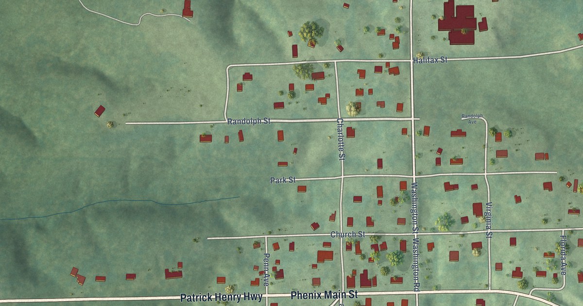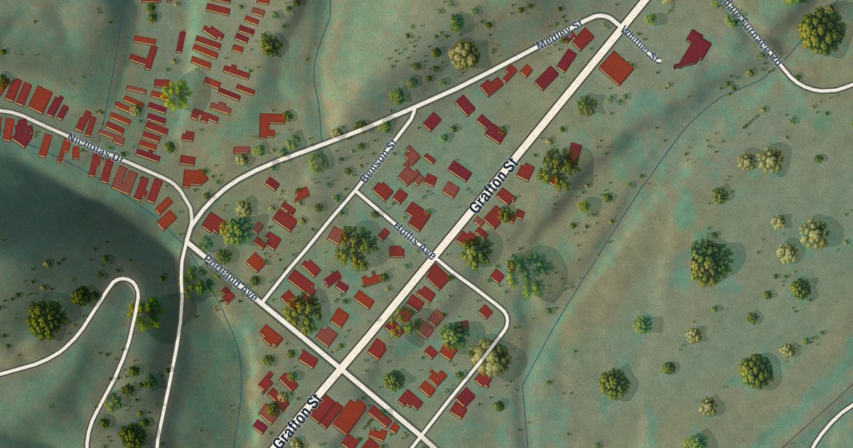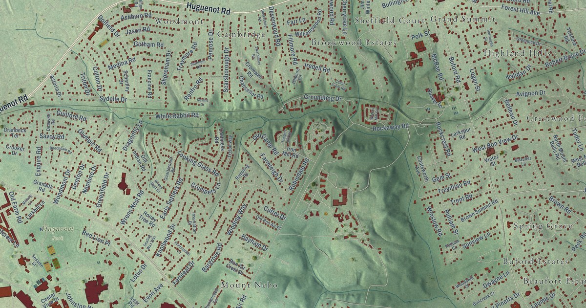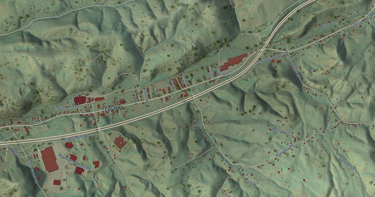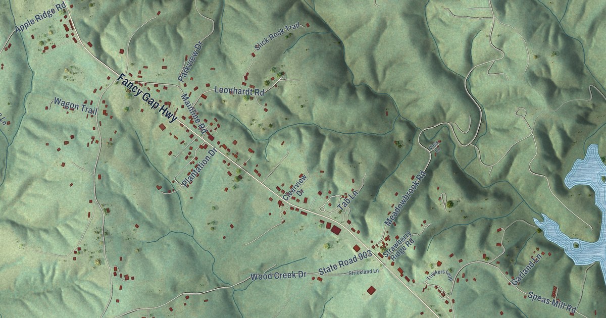
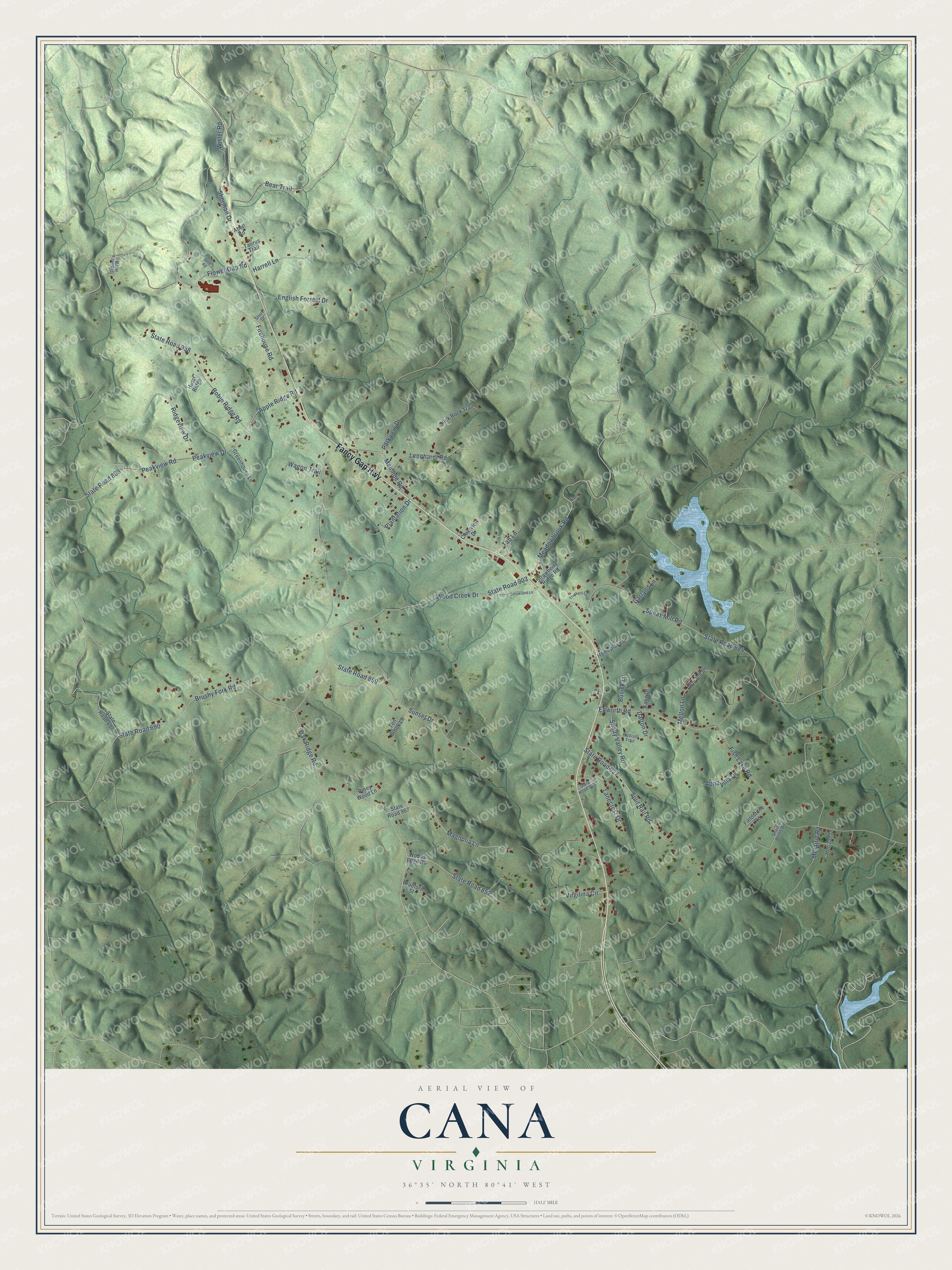
This beautifully detailed map of Cana, Virginia was created in 2026 using aerial imagery combined with modern topographical, census, street and landmark data. It's a modern aerial view of Cana in Carroll County, Virginia, that combines modern data with a vintage aesthetic. The roads feature printed names, and if you look closely you can find your exact house accurately shown in its correct location.
Explore an aerial view of Cana, Virginia
On this map you'll find Fancy Gap Highway, Peakview Road, Peakview Drive, Brushy Fork Road, State Road 690, Apple Ridge Road, Speas Mill Road, State Road 884, State Road 800, Oak Ridge Road, Epworth Road, Fish Lake Road, and more. Each red shape is a building, so zoom in on the preview and look for yours.
Cana is a community in Carroll County. The Census Bureau counted 1,243 people here in 2020. Cana sits about 7 miles south of Fancy Gap, 13 miles south of Hillsville and 13 miles southeast of Woodlawn. The map prints the town name in its title panel, with the coordinates below it.
Take a closer look at the Cana map
Names on this map
These names are printed on this map.
Streets and roads: Fancy Gap Highway, Peakview Road, Peakview Drive, Brushy Fork Road, State Road 690, Apple Ridge Road, Speas Mill Road, State Road 884, State Road 800, Oak Ridge Road, Epworth Road, Fish Lake Road.
More street names, A to Z
Abell Road, Appa Villa Drive, Bear Trail, Bradford Street, Busick Lane, Clearview Drive, Dalton Drive, Dent Road, English Forrest Drive, Fieldstone Road, Firehouse Road, Flower Gap Road, Gabriel's Hill Road, Garland Lane, Greenhouse Lane, Harrell Lane, Holland Drive, Homeplace Lane, Horizon Drive, Hurst Ridge, Katie Drive, Lanecrest Drive, Leonhardt Road, Magnolia Lane, Mainline Road, Meadowbrook Road, Melton Lane, Metairie Road, Parkview Drive, Piney Wood Lane, Plantation Drive, Ridgeview Drive, Robin Ridge Road, Rudisill Trail, Shady Acres Drive, Shady Valley Road, Sherman Drive, Short Drive, Slick Rock Trail, Split Rail Road, State Road 692, State Road 852, State Road 859, State Road 903, State Road 927, State Road 938, State Road 967, State Road 981, Strawberry Ridge Road, Strickland Lane, Sunset Drive, Tab Lane, Taurus Trail, Ten Brook Lane, Truckers Loop, Vass Lane, Virgilina Circle, Wagon Trail, Wisler Road, Wood Creek Drive, Woods Edge Road.
See it on a wall
The Cana map as a framed print. Swipe for more.


Created by KNOWOL in 2026. The buildings are small red shapes, the roads carry their printed names, and shaded relief shows the shape of the land. The title panel reads "AERIAL VIEW OF CANA, VIRGINIA" with 36°35' NORTH 80°41' WEST.
It suits a den, a classroom or a front hall, and it makes a gift for anyone with Cana roots. Open the preview and find the block you know. See sizes and frames for the Cana map.