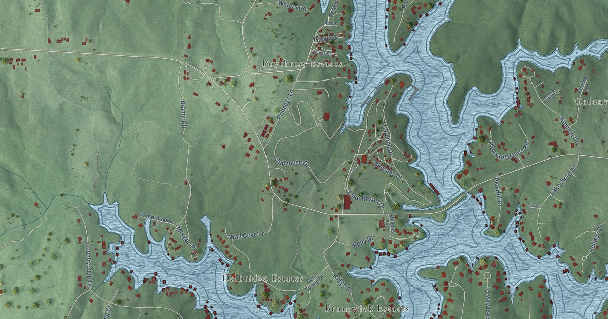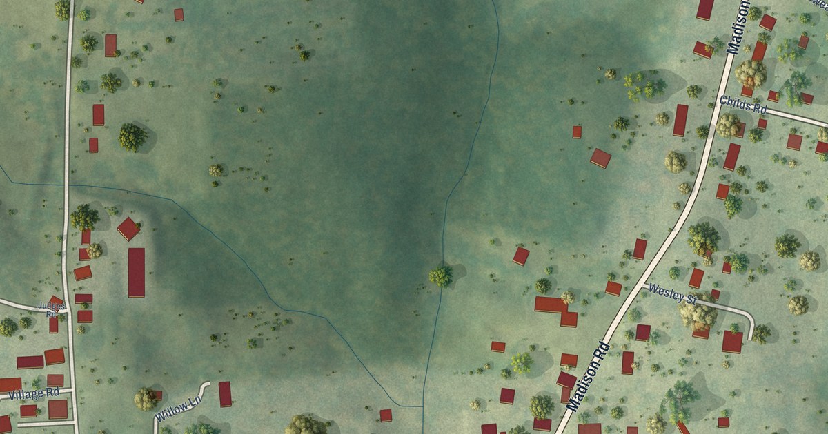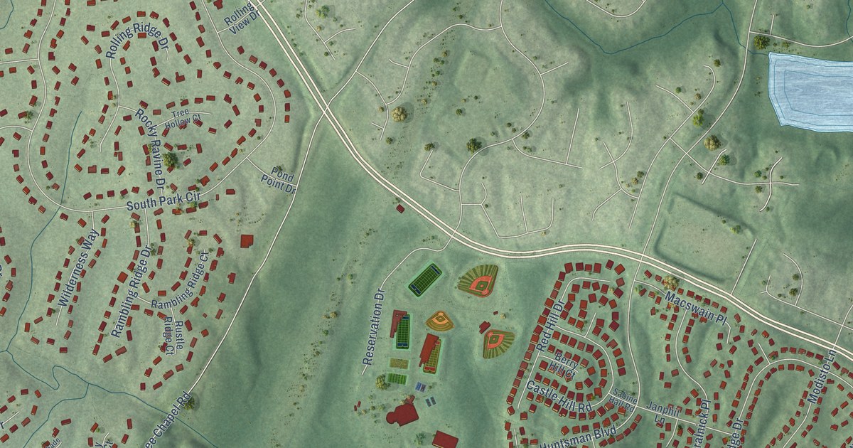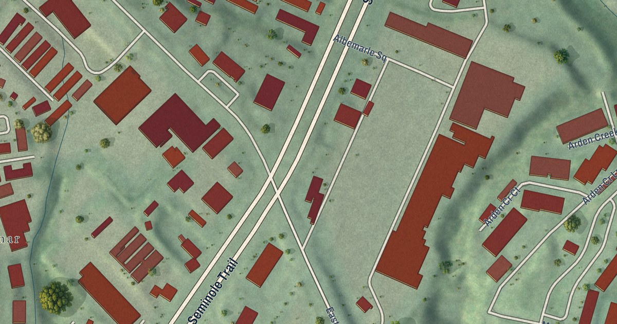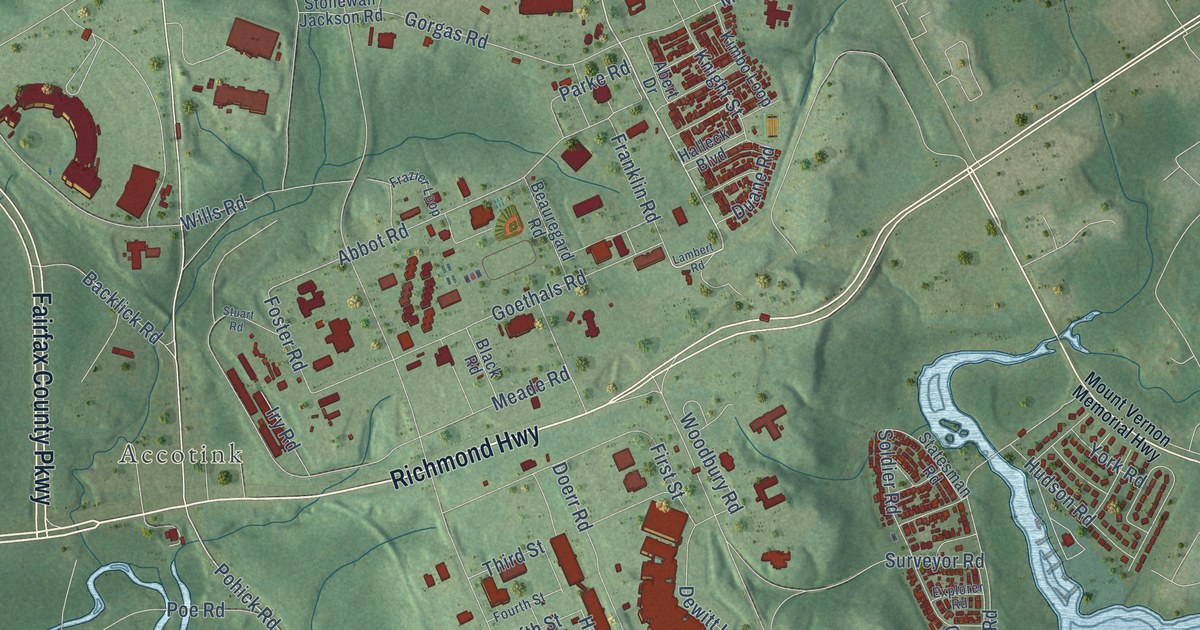
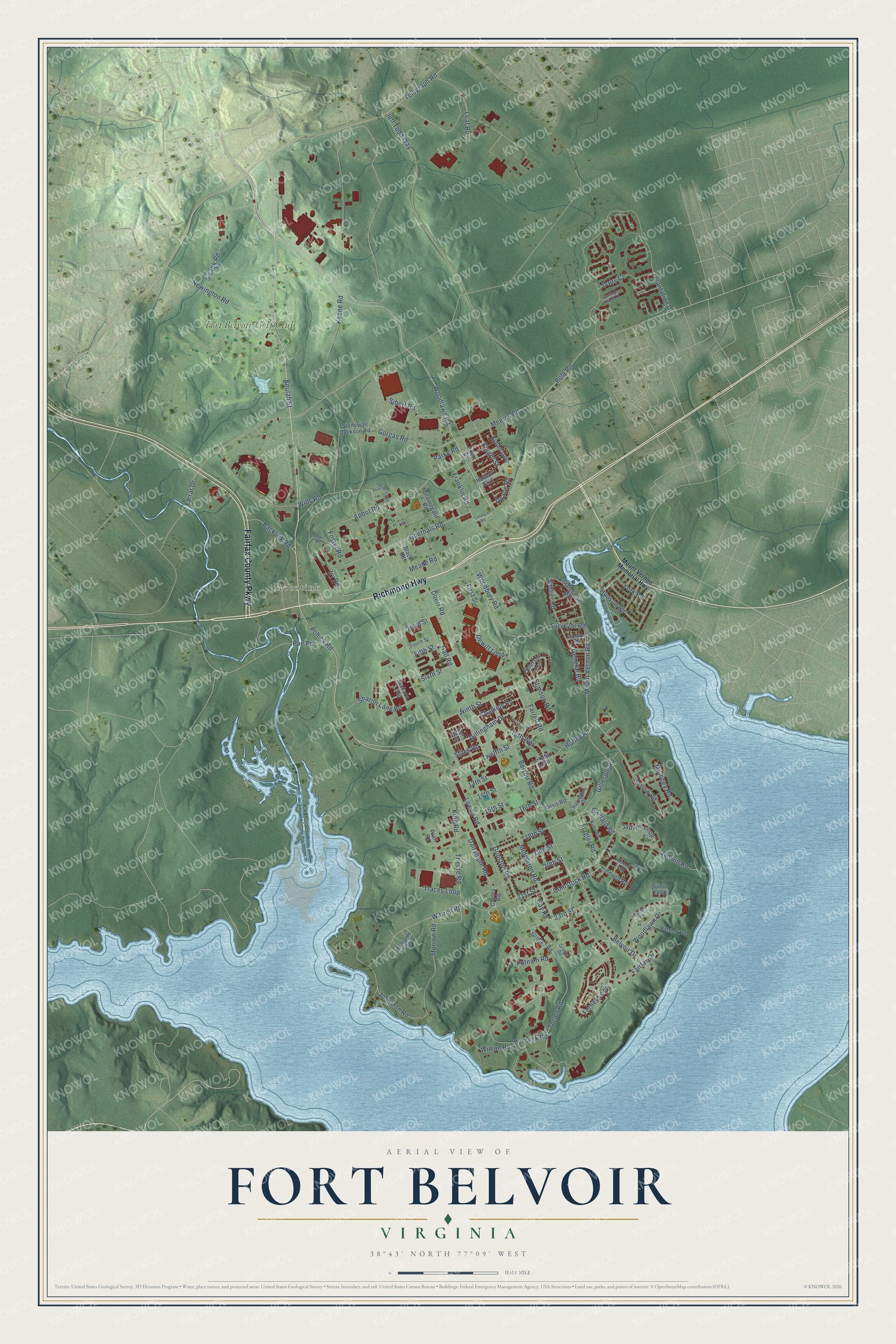
This beautifully detailed map of Fort Belvoir, Virginia was created in 2026 using aerial imagery combined with modern topographical, census, street and landmark data. It's a modern aerial view of Fort Belvoir in Fairfax County, Virginia, that combines modern data with a vintage aesthetic. The roads feature printed names, and if you look closely you can find your exact house accurately shown in its correct location.
Explore an aerial view of Fort Belvoir, Virginia
On this map you'll find Accotink, Fort Belvoir Golf Club, Richmond Highway, Fairfax County Parkway, Beulah Street, Woodlawn Road, Pohick Road, Comstock Road, Twelfth Street, Flagler Road, Barlow Road, Hurley Road, and more. Each red shape is a building, so zoom in on the preview and look for yours.
Fort Belvoir has a story worth telling. In 1935 President Franklin Roosevelt renamed Fort Humphreys as Fort Belvoir, to bring back the post's colonial ties. Belvoir, a French word meaning beautiful to see, was the name Colonel William Fairfax had given his colonial plantation on the land. The Fairfax home, Belvoir Manor, was a place of growth and learning for young George Washington. That's from the U.S. Army at Fort Belvoir.
Fort Belvoir is a community in Fairfax County. The Census Bureau counted 7,637 people here in 2020.
Take a closer look at the Fort Belvoir map
Names on this map
These names are printed on this map.
Places: Accotink and Fort Belvoir Golf Club.
Streets and roads: Richmond Highway, Fairfax County Parkway, Beulah Street, Woodlawn Road, Pohick Road, Comstock Road, Twelfth Street, Flagler Road, Barlow Road, Hurley Road, Hall Road, Gaillard Road.
More street names, A to Z
13th Street, 14th Street, 15th Street, 16th Street, 18th Street, 19th Street, 20th Street, 21st Street, 23rd Street, Abbot Road, Abert Drive, Backlick Road, Beauregard Road, Belvoir Drive, Belvoir Road, Black Road, Burbeck Road, Caldwell Road, Caples Road, Carriage House Court, Chalkely Road, Dairy Court, Dalrymple Road, Dewitt Loop, Doerr Road, Duane Road, Explorer Road, Fairfax Drive, Farrar Drive, Farrell Road, Fifth Street, First Street, Forney Loop, Foster Road, Fourth Street, Franklin Road, Frazier Loop, Gay Road, General Road, Gillespie Road, Gillingham Drive, Goethals Road, Gorgas Road, Gratiot Road, Gridley Road, Gunston Road, Halleck Boulevard, Harrington Drive, Harris Road, Hudson Road, Iry Road, Jackson Loop, Jadwin Loop, Jadwin Road, Jeff Todd Way, Johnston Road, Keene Road, Kenzia Trail, Kimbo Loop, King Road, Knight Street, Kuhn Road, Lambert Road, Langfitt Loop, Leaf Road, Lowen Road, Maloney Road, Mason Drive, Meade Road, Meeres Road, Mero Way, Middleton Road, Morrow Road, Mount Vernon Memorial Highway, Mount Vernon Road, Newington Road, Ninth Street, Parke Road, Patrick Road, Peterson Loop, Plantation Drive, Poe Road, Pole Road, Pratt Road, Putnam Road, Rossell Loop, Sharon Lane Road, Sibert Road, Sixth Street, Soldier Road, Statesman Road, Stiles Road, Stimson Road, Stonewall Jackson Road, Stuart Road, Sultan Loop, Surveyor Road, Swank Road, Telegraph Road, Theote Road, Third Street, Totten Road, Tracey Loop, Troth Way, Warren Road, Williams Street, Wills Road, Wilson Road, Woodbury Road, Woodlawn Drive, York Road.
See it on a wall
The Fort Belvoir map as a framed print. Swipe for more.


Created by KNOWOL in 2026. The buildings are small red shapes, the roads carry their printed names, and shaded relief shows the shape of the land. The title panel reads "AERIAL VIEW OF FORT BELVOIR, VIRGINIA" with 38°43' NORTH 77°09' WEST.
It looks right in a kitchen, an office or a den, and it's a gift for anyone who grew up in Fort Belvoir or moved away. Open the preview and find your street. See sizes and frames for the Fort Belvoir map.