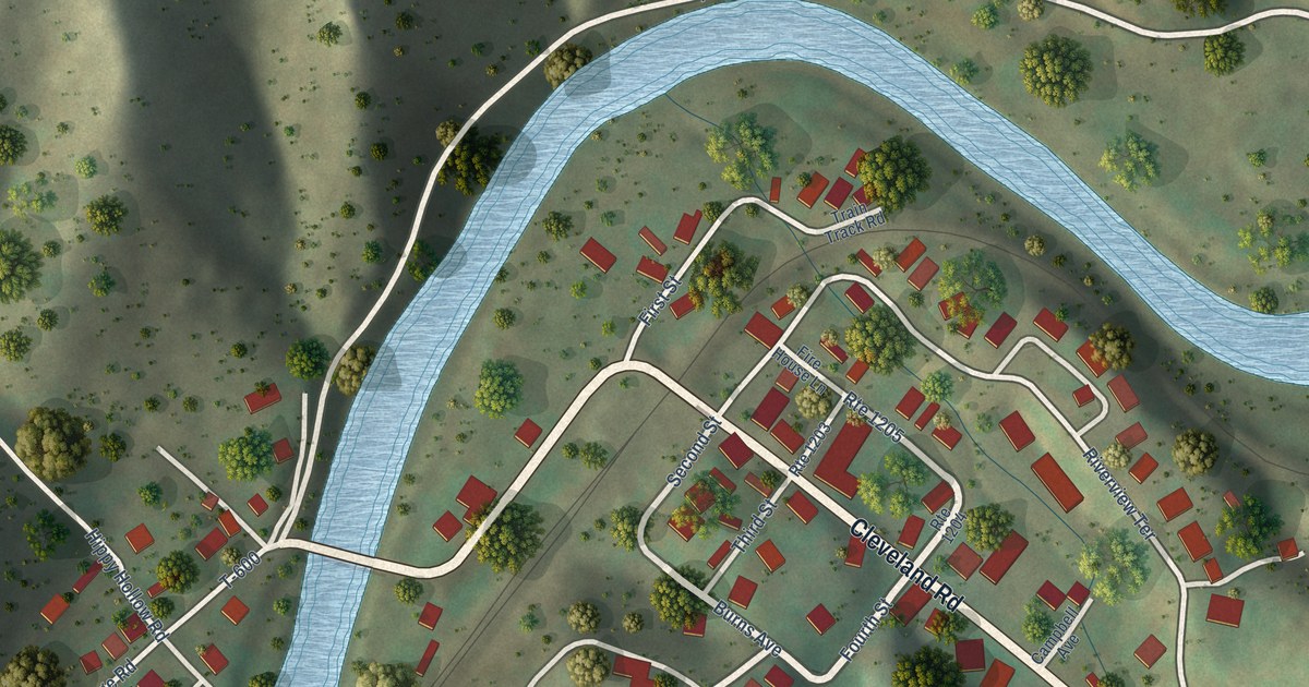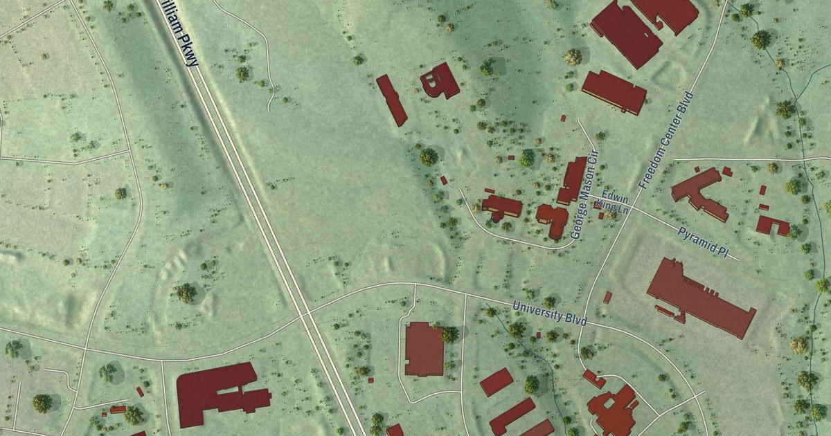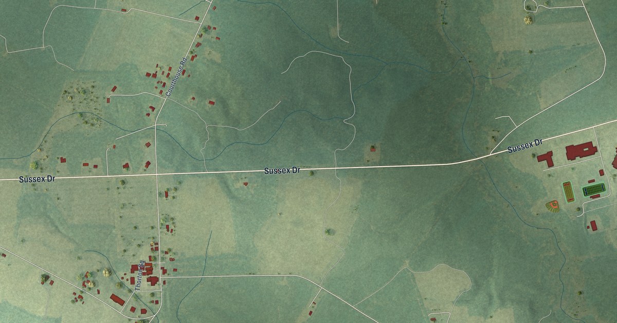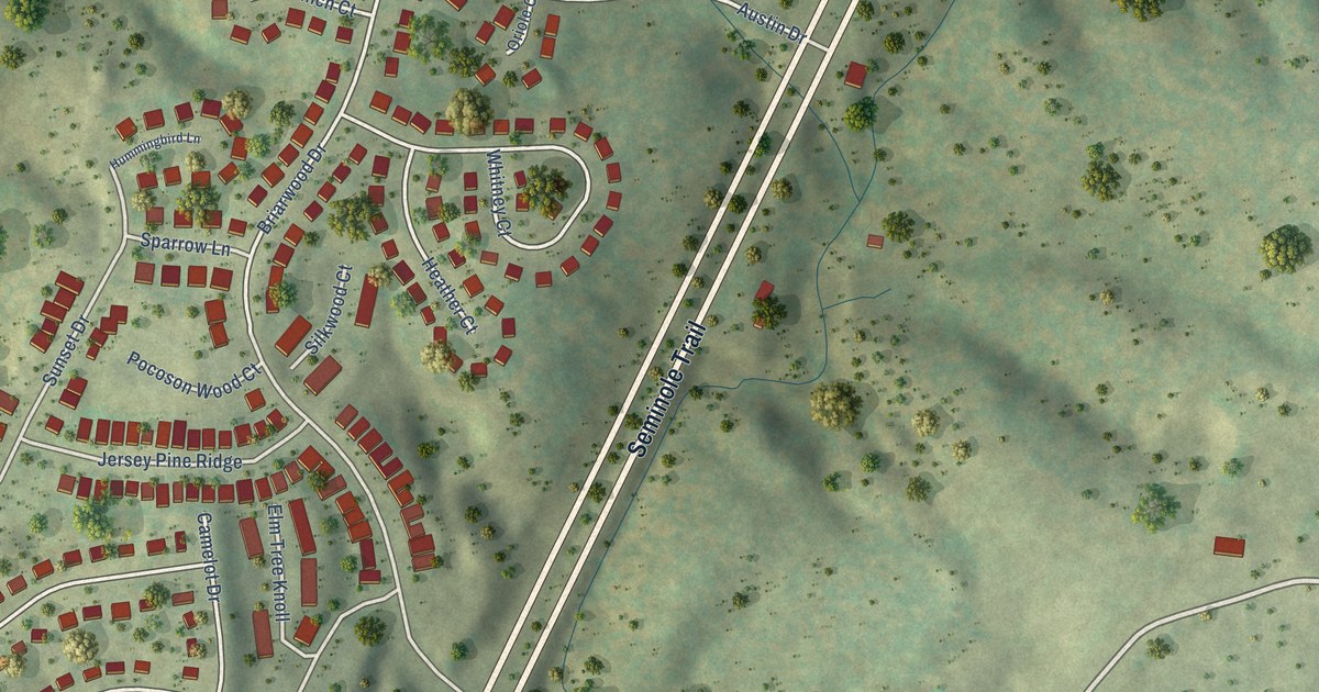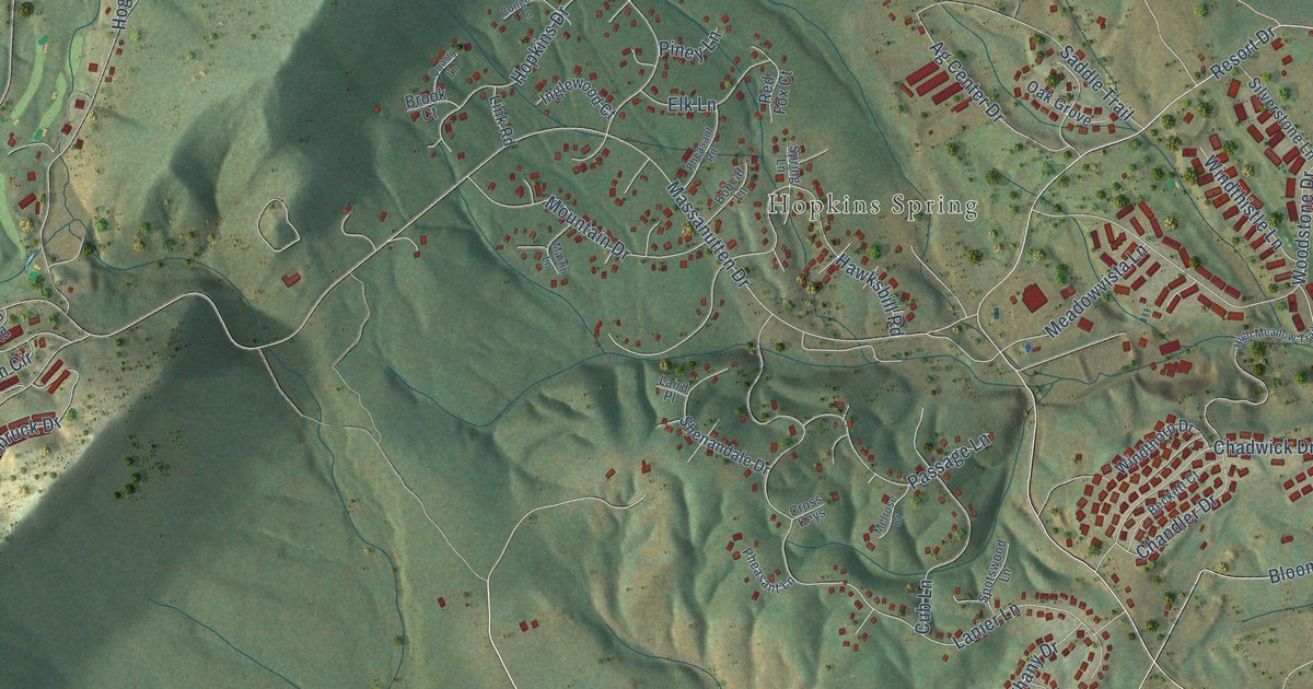
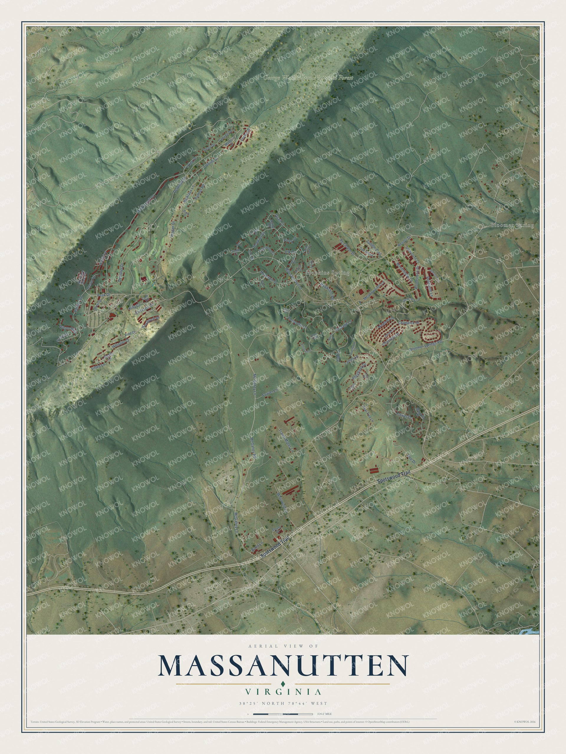
This beautifully detailed map of Massanutten, Virginia was created in 2026 using aerial imagery combined with modern topographical, census, street and landmark data. It's a modern aerial view of Massanutten in Rockingham County, Virginia, that combines modern data with a vintage aesthetic. The roads feature printed names, and if you look closely you can find your exact house accurately shown in its correct location.
Explore an aerial view of Massanutten, Virginia
On this map you'll find Bloomer Spring, Hopkins Spring, George Washington National Forest, Spotswood Trail, Mc Gahey Lane, McGahey Road, Peak Drive, McGahey Lane, Resort Drive, Bloomer Springs Road, Massanutten Drive, Delwebb Drive, and more. Each red shape is a building, so zoom in on the preview and look for yours.
Massanutten has a story worth telling. Rockingham Springs, also called Hopkins' Springs, at the eastern base of the Massanutten, was a popular health resort run by G. T. and Edwin B. Hopkins. The poet and musician Sidney Lanier spent six weeks there in the summer of 1879, and he wrote his book Science of English Verse during that stay. Not far away, Bloomer Springs opened as a health resort about 1852, and soon ten or twelve cottages stood on the grounds. That's from the Rockingham County historian John W. Wayland.
Massanutten is a community in Rockingham County. The Census Bureau counted 2,164 people here in 2020.
Take a closer look at the Massanutten map
Names on this map
These names are printed on this map.
Places: Bloomer Spring, Hopkins Spring and George Washington National Forest.
Streets and roads: Spotswood Trail, Mc Gahey Lane, McGahey Road, Peak Drive, McGahey Lane, Resort Drive, Bloomer Springs Road, Massanutten Drive, Delwebb Drive, Palmer Road, Middlecroff Drive, Lanier Lane.
More street names, A to Z
Access Drive, Ag Center Drive, Alleghany Drive, Ashby Road, Beckett Court, Bobcat Lane, Bond Lane, Brook Court, Chadwick Drive, Chandler Drive, Colo Road, Congers Lane, Cross Keys, Cub Lane, Deer Drive, Demaret Drive, Doe Drive, Elk Lane, Emily Lane, Ericksen Circle, Flower Drive, Fort Road, Fowler Lane, Gemstone Lane, Grouse Drive, Hawksbill Road, High Meadow Trail, Hogan Court, Hopkins Drive, Hotel Drive, Inglewood Court, Innsbruck Drive, Kidd Court, Killy Court, Laird Place, Link Road, Litten Lane, Lopez Drive, Magnolia Court, Martin Lane, Masters Court, Meadowvista Lane, Melrose Court, Mountain Drive, Mountain View Circle, Nicklaus Lane, Oak Grove, Passage Lane, Pear Tree Lane, Pheasant Lane, Pheasant Road, Piney Lane, Player Court, Powell Place, Quail Court, Quarry Lane, Rainier Road, Red Fox Court, Redstone Lane, Rieder Lane, Saddle Trail, Shenandale Drive, Silverstone Lane, Spotswood Lane, Spring Lane, Stover Drive, Travel Mates Lane, Trevino Drive, Trevor Court, Turkey Drive, Whirlwind Lane, Whistler Court, Wilson Way, Windthistle Lane, Windthorp Drive, Woodstone Drive.
See it on a wall
The Massanutten map as a framed print. Swipe for more.


Created by KNOWOL in 2026. The buildings are small red shapes, the roads carry their printed names, and shaded relief shows the shape of the land. The title panel reads "AERIAL VIEW OF MASSANUTTEN, VIRGINIA" with 38°25' NORTH 78°44' WEST.
It looks right in a kitchen, an office or a den, and it's a gift for anyone who grew up in Massanutten or moved away. Open the preview and find your street. See sizes and frames for the Massanutten map.