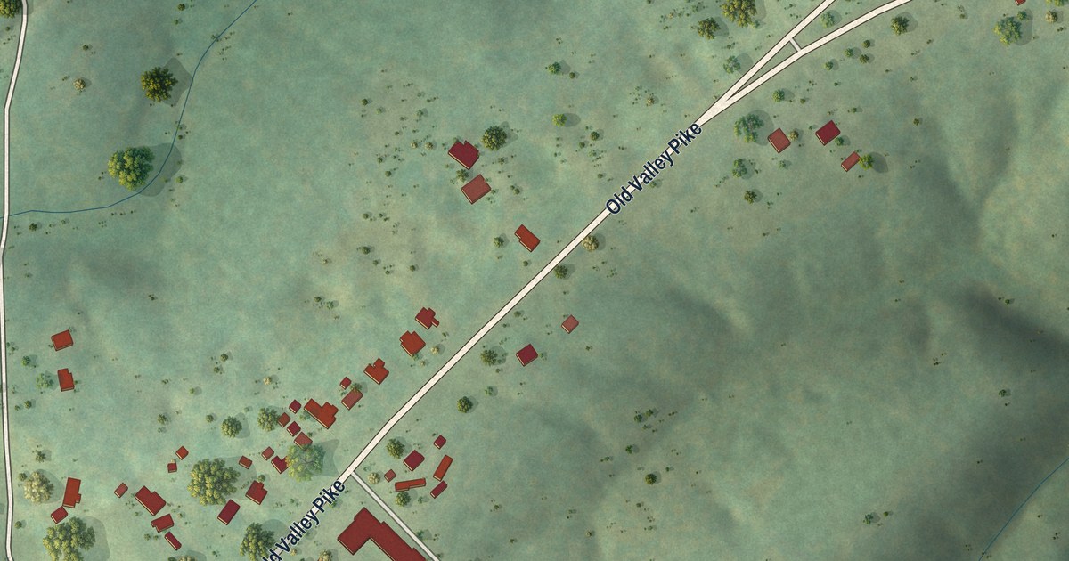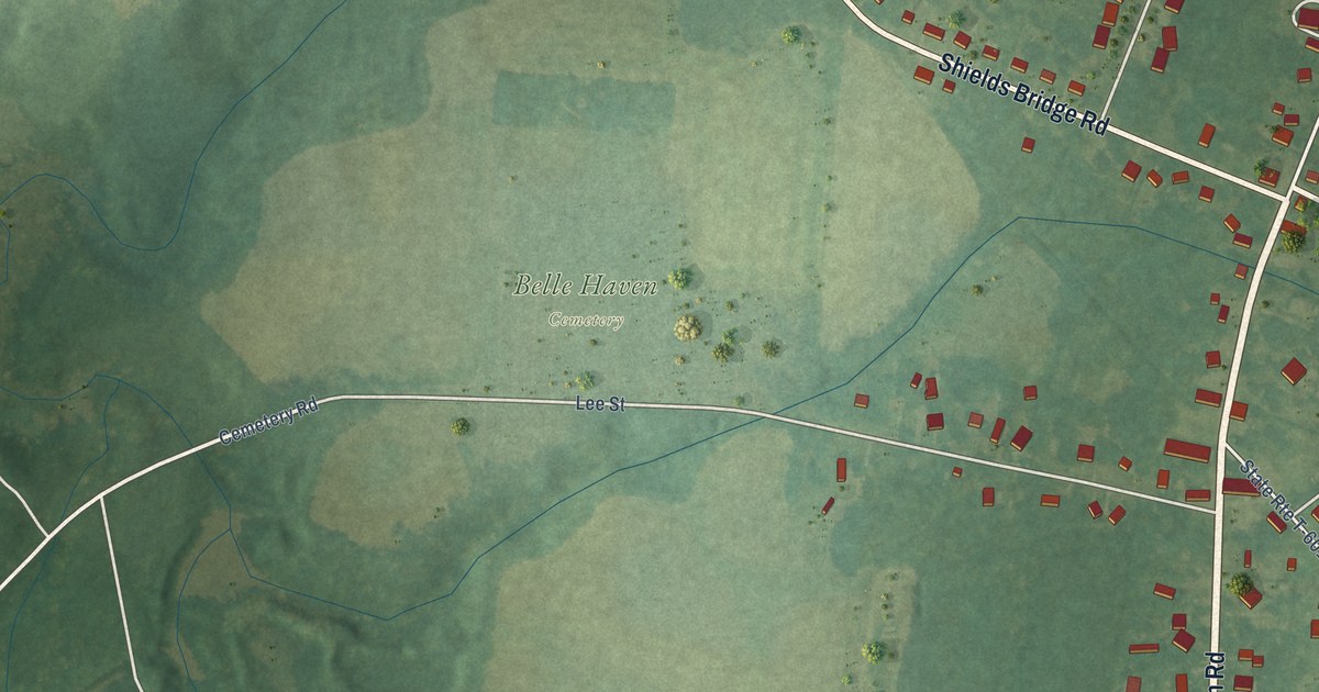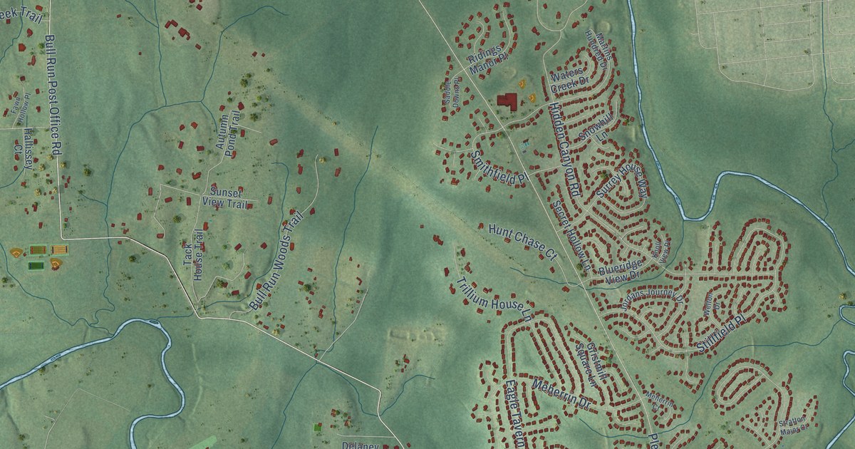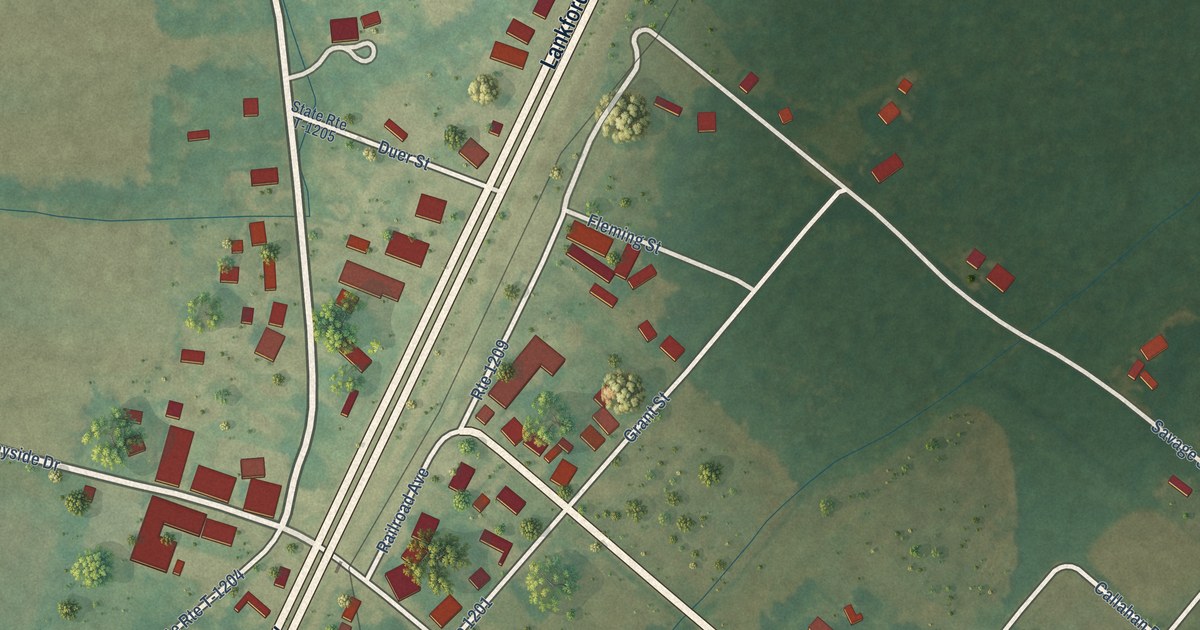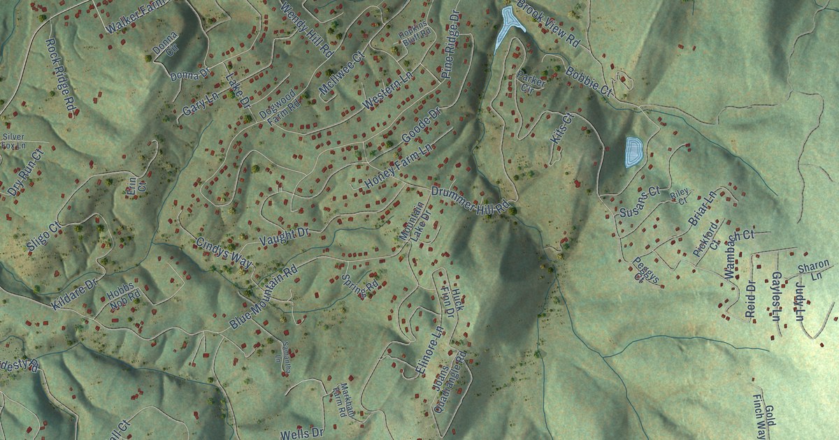
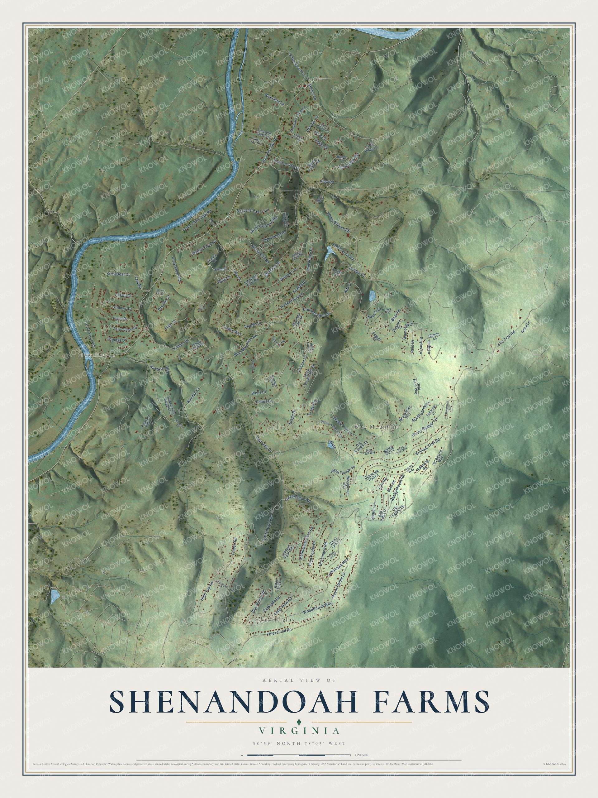
This beautifully detailed map of Shenandoah Farms, Virginia was created in 2026 using aerial imagery combined with modern topographical, census, street and landmark data. It's a modern aerial view of Shenandoah Farms in Warren County, Virginia, that combines modern data with a vintage aesthetic. The roads feature printed names, and if you look closely you can find your exact house accurately shown in its correct location.
Explore an aerial view of Shenandoah Farms, Virginia
On this map you'll find Linden Heights, Howellsville, Blue Mountain, Freezeland Road, Blue Mountain Road, Fire Trail Road, Rocky Boulder Lane, Elinore Lane, Howellsville Road, Old Oak Lane, Farm Ridge Road, High Top Road, and more. Each red shape is a building, so zoom in on the preview and look for yours.
Shenandoah Farms is a community in Warren County. The Census Bureau counted 4,135 people here in 2020. Shenandoah Farms sits about 4 miles northeast of Skyland Estates, 5 miles northeast of Apple Mountain Lake and 5 miles east of Shenandoah Shores. The map prints the town name in its title panel, with the coordinates below it.
Take a closer look at the Shenandoah Farms map
Names on this map
These names are printed on this map.
Places: Linden Heights, Howellsville and Blue Mountain.
Streets and roads: Freezeland Road, Blue Mountain Road, Fire Trail Road, Rocky Boulder Lane, Elinore Lane, Howellsville Road, Old Oak Lane, Farm Ridge Road, High Top Road, Drummer Hill Road, Venus Branch Road, Western Lane.
More street names, A to Z
Axton Lane, Blue Valley Road, Bobbie Court, Bragg Drive, Briar Lane, Brook View Road, Buck Road, Chipmunk Trail Lane, Cindys Way, Cliff Road, Crossway Lane, Dillard Court, Dogwood Blossom Lane, Dogwood Farm Road, Donna Circle, Donna Drive, Dry Run Court, Eagles Crag Road, Ehlers Drive, Elseas Farm Road, Erin Court, Fairview Lane, Farms Ridge Lane, Farms River Road, Farms Riverview Road, Farm View Road, Far View Lane, Fellows Drive, Fern Trail Way, Flynn Drive, Freeze Road, Gary Lane, Gate, Gayles Lane, Gold Finch Way, Goode Drive, Hardesty Road, Heavens Tree Trail, Heights Lane, Henry Way, Hickory Nut Road, Hideaway Road, Hobbs Nob Road, Honey Farm Lane, Hopkins Bluff Road, Howellsville Heights Circle, Huck Finn Drive, Joans Quadrangle Road, Judy Lane, Kendall Court, Kildare Drive, Kits Court, Lake Drive, Long View Road, Lookout Point Way, Manor Road, Markham Farm Road, McDonalds Farm Road, McIlwee Court, Moonshiner Way, Mosby Meadow Lane, Mossy Rock Way, Mountain Lake Drive, Mountain Laurel Lane, Mount Oriole Lane, Myers Drive, Nancy Court, Old Beacon Way, Old Linden Road, Old Logging Road, Old Oregon Road, Old Sawmill Road, Parker Circle, Parkside Road, Patty Tract Lane, Peggys Court, Pickford Court, Pine Ridge Drive, Pleasant Hill Lane, Red Robin Lane, Reid Drive, Reynolds Drive, Ridge Top Lane, Riley Court, River Boat Drive, River Isle Lane, River Overlook Road, Rock Ridge Road, Rocky Mount Road, Rocky Spring Lane, Samantha Lane, Scarlet Tanager Lane, Shady Tree Lane, Sharon Lane, Shenandoah River Lane, Silver Fox Lane, Sligo Court, Source Lane, Spring Hill Road, Spring Hollow Road, Spring Road, Susans Court, Switchback Road, Tara Road, Thompson Mill Road, Timberline Ridge Road, Tomahawk Way, Treasure Island Lane, Trillium Trail Road, Tulip Poplar Drive, Valley Farms Road, Vaught Drive, Vesey Drive, View Road, Walker Farm Drive, Wambach Court, Wells Drive, Wendy Hill Road, Woodhaven Way, Wood Lark Lane, Woodpecker Way, Woodthrush Way, Yarnell Court, Youngs Drive.
See it on a wall
The Shenandoah Farms map as a framed print. Swipe for more.


Created by KNOWOL in 2026. The buildings are small red shapes, the roads carry their printed names, and shaded relief shows the shape of the land. The title panel reads "AERIAL VIEW OF SHENANDOAH FARMS, VIRGINIA" with 38°59' NORTH 78°03' WEST.
It suits a den, a classroom or a front hall, and it makes a gift for anyone with Shenandoah Farms roots. Open the preview and find the block you know. See sizes and frames for the Shenandoah Farms map.