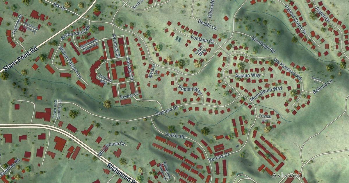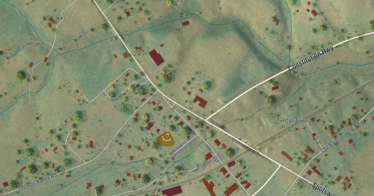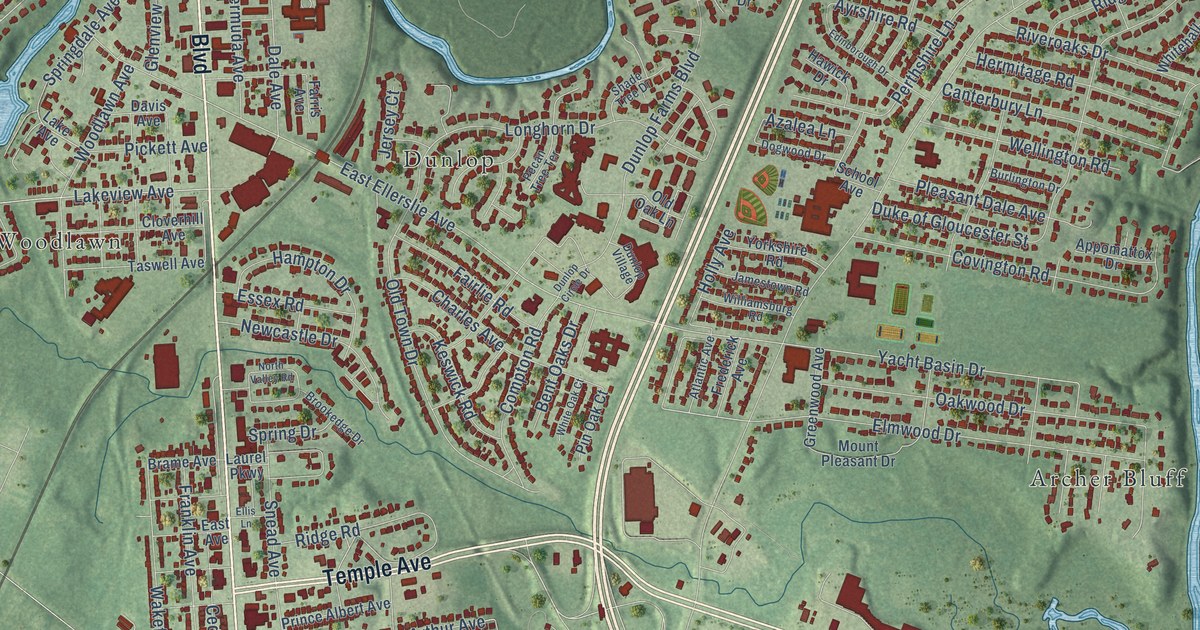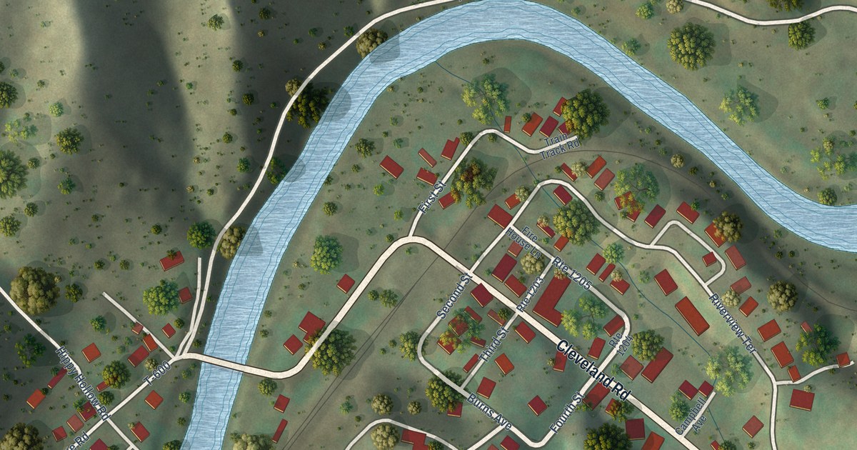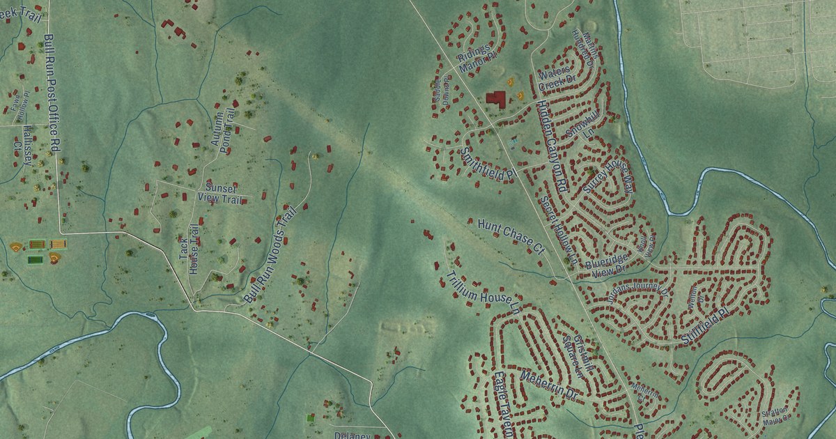
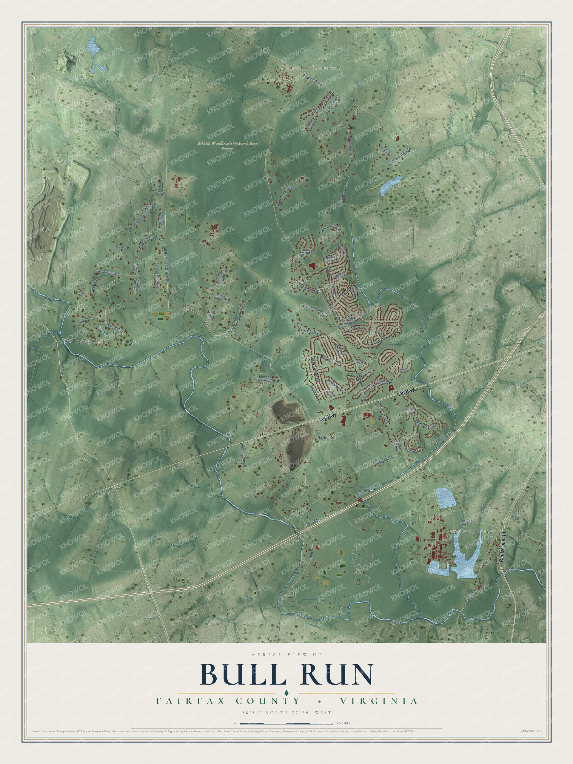
This beautifully detailed map of Bull Run, Virginia was created in 2026 using aerial imagery combined with modern topographical, census, street and landmark data. It's a modern aerial view of Bull Run in Fairfax County, Virginia, that combines modern data with a vintage aesthetic. The roads feature printed names, and if you look closely you can find your exact house accurately shown in its correct location.
Explore an aerial view of Bull Run, Virginia
On this map you'll find Comptons Corner, Schneider Crossroads, Cox Farms, Elklick Woodlands Natural Area Preserve, Sudley Springs, Lee Highway, Centreville Road, Bull Run Post Office Road, Bull Run Drive, Pleasant Valley Road, Compton Road, Braddock Road, and more. Each red shape is a building, so zoom in on the preview and look for yours.
Bull Run has a story worth telling. Bull Run Regional Park was once part of Robert Carter III's Leo Plantation. Carter chose to free the roughly 500 people he enslaved, starting with the oldest under his 1791 deed, and many of them and their descendants stayed in the area. A late 18th century African American cemetery in the park holds 91 burials. Carter had joined the Baptist faith and in 1775 had a Baptist church built, which he declared open to all, including the people he enslaved. That's from the NOVA Parks.
Bull Run is a community in Fairfax County. The Census Bureau counted 6,972 people here in 2020.
Take a closer look at the Bull Run map
Names on this map
These names are printed on this map.
Places: Comptons Corner, Schneider Crossroads, Cox Farms, Elklick Woodlands Natural Area Preserve and Sudley Springs.
Streets and roads: Lee Highway, Centreville Road, Bull Run Post Office Road, Bull Run Drive, Pleasant Valley Road, Compton Road, Braddock Road, Eagle Tavern Lane, Chandley Farm Circle, Stillfield Place, Wetherburn Drive, Hidden Canyon Road.
More street names, A to Z
Autumn Pond Trail, Blueridge View Drive, Brim Lane, Bronze Post Road, Bull Run Woods Trail, Cedar Post Court, Cedar Spring Road, Chandley Farm Court, Cub Run Park Drive, Delaney Chase Way, Doubleday Road, Fairfax National Way, Fawn Hollow Place, Glory Creek Trail, Greet Court, Gristmill Square Lane, Hallissey Court, Hood Lane, Hunt Chase Court, Jade Post Lane, Jillians Forest Way, Jordans Journey Drive, Kentwell Circle, Knoll View Place, Lord Sudley Drive, Martins Hundred Drive, McCambell Cluster, Meherrin Court, Meherrin Drive, Naylor Road, Ordway Road, Paddington Lane, Peace Meadow Lane, Pelhams Trce, Pleasant Forest Drive, Quiet Cedar Lane, Ridings Manor Place, Rosalie Ridge Drive, Running Post Court, Sacred Lane, Saddle Downs Place, Secret Hollow Lane, Smithfield Place, Smiths Trce, Snowhill Lane, Starry Night Lane, Stratton Major Court, Sudley Forest Court, Sudley Road, Sunset View Trail, Surrey House Way, Tack House Trail, Tre Towers Court, Trillium House Lane, Uosa Parkway, Waters Creek Drive, Welton Drive, White Post Road.
See it on a wall
The Bull Run, Fairfax County map as a framed print. Swipe for more.


Created by KNOWOL in 2026. The buildings are small red shapes, the roads carry their printed names, and shaded relief shows the shape of the land. The title panel reads "AERIAL VIEW OF BULL RUN, FAIRFAX COUNTY • VIRGINIA" with 38°50' NORTH 77°29' WEST.
It looks right in a kitchen, an office or a den, and it's a gift for anyone who grew up in Bull Run or moved away. Open the preview and find your street. See sizes and frames for the Bull Run, Fairfax County map.