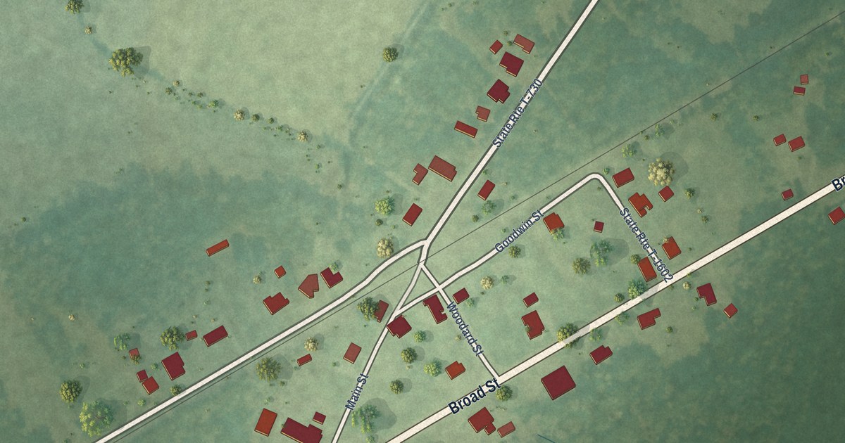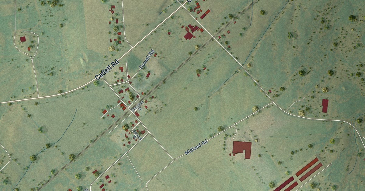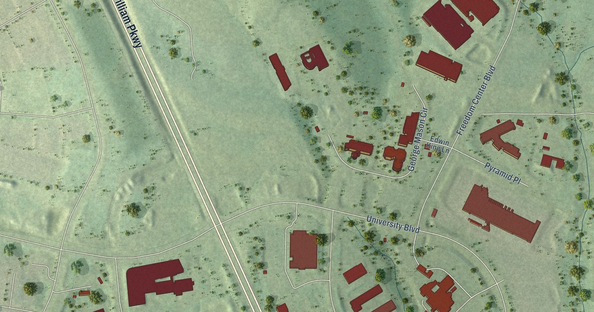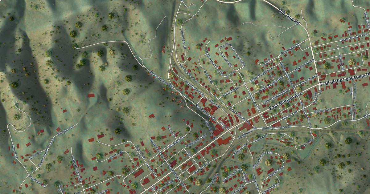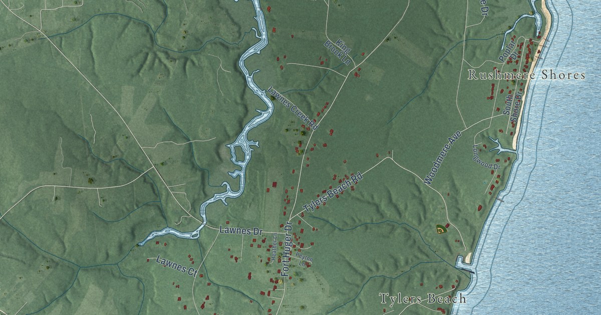
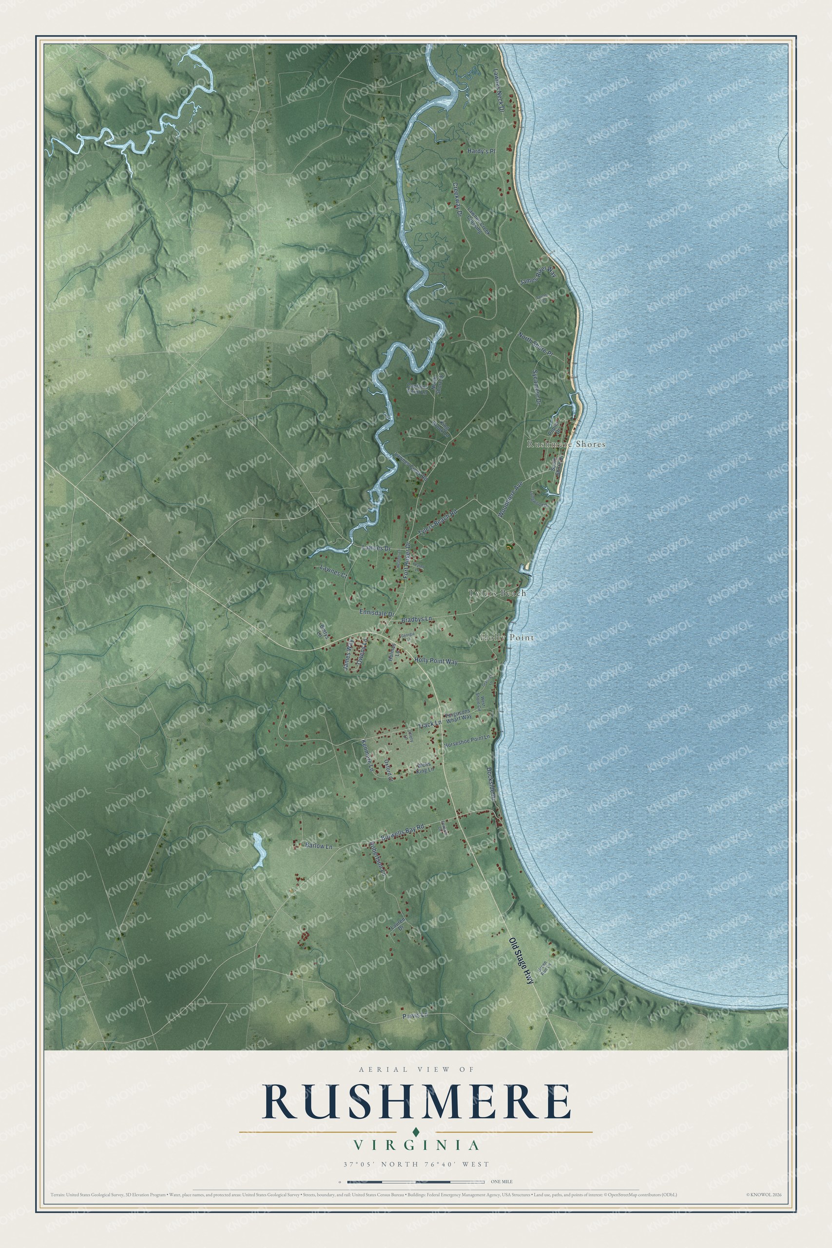
This beautifully detailed map of Rushmere, Virginia was created in 2026 using aerial imagery combined with modern topographical, census, street and landmark data. It's a modern aerial view of Rushmere in Isle of Wight County, Virginia, that combines modern data with a vintage aesthetic. The roads feature printed names, and if you look closely you can find your exact house accurately shown in its correct location.
Explore an aerial view of Rushmere, Virginia
On this map you'll find Rushmere Shores, Holly Point, Tylers Beach, Old Stage Highway, Lawnes Neck Drive, Fort Huger Drive, Burwells Bay Road, Purvis Lane, Creekway Drive, Track Lane, Tylers Beach Road, Bradbys Lane, and more. Each red shape is a building, so zoom in on the preview and look for yours.
Rushmere has a story worth telling. Fort Huger, a Civil War earthen fort at Hardy's Bluff on Lawne's Neck, was built to block any Union naval advance up the James River to Richmond. Enslaved and freed Black workers helped build it starting in July 1861. After Union gunboats and the USS Monitor bombarded it in May 1862, Confederate forces abandoned the fort. That's from the Virginia Department of Historic Resources.
Rushmere is a community in Isle of Wight County. The Census Bureau counted 1,175 people here in 2020.
Take a closer look at the Rushmere map
Names on this map
These names are printed on this map.
Places: Rushmere Shores, Holly Point and Tylers Beach.
Streets and roads: Old Stage Highway, Lawnes Neck Drive, Fort Huger Drive, Burwells Bay Road, Purvis Lane, Creekway Drive, Track Lane, Tylers Beach Road, Bradbys Lane, Sycamore Drive, Robertson Lane, Ennisdale Drive.
More street names, A to Z
Barlow Lane, Bettys Lane, Captains Point Lane, Dockside Drive, Edwards Circle, Fergusons Wharf Way, Georgia Lane, Grannys Lane, Green Run Lane, Hardy's Place, Heather Lane, Holly Point Way, Holmes Lane, Horseshoe Point Lane, James River Way, James Way, Kenmere Lane, King Brook Lane, Lauren Drive, Lawnes Court, Lawnes Creek Crossing, Lawnes Creek Road, Lawnes Drive, Longwood Drive, North Shore Drive, North Shore Place, Owens Lane, Oxford Court, Peyton Lane, Poplar Drive, South Shore Drive, Talcott Terrace, Tillery Lane, Wells King Lane, West Shore Circle, Woodmere Avenue.
See it on a wall
The Rushmere map as a framed print. Swipe for more.


Created by KNOWOL in 2026. The buildings are small red shapes, the roads carry their printed names, and shaded relief shows the shape of the land. The title panel reads "AERIAL VIEW OF RUSHMERE, VIRGINIA" with 37°05' NORTH 76°40' WEST.
It looks right in a kitchen, an office or a den, and it's a gift for anyone who grew up in Rushmere or moved away. Open the preview and find your street. See sizes and frames for the Rushmere map.