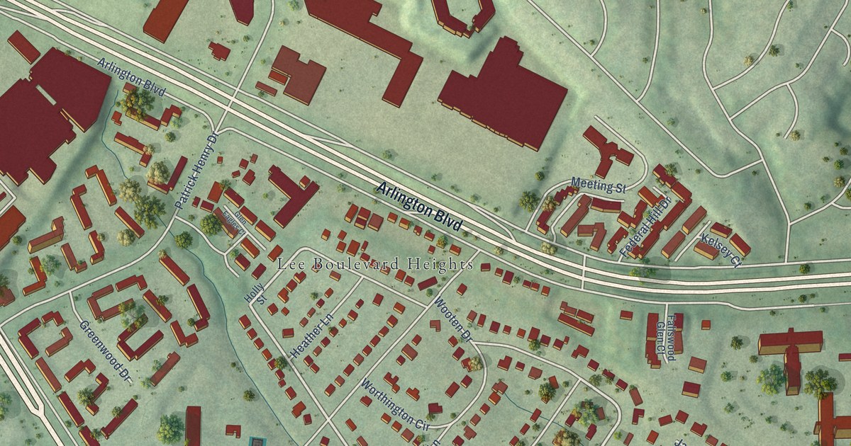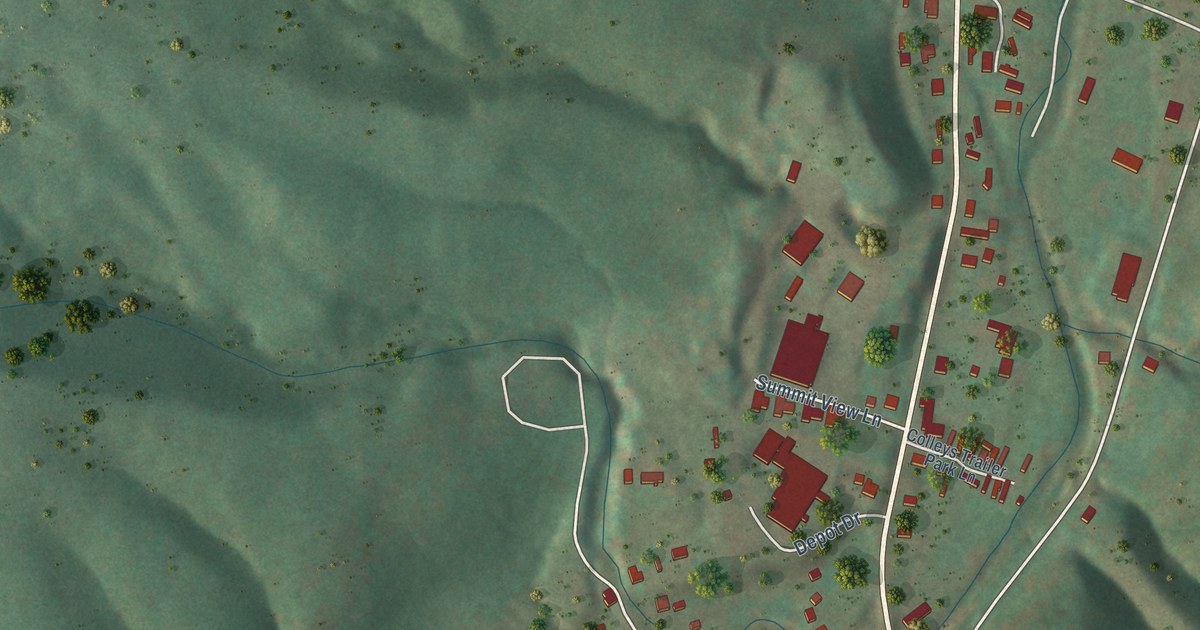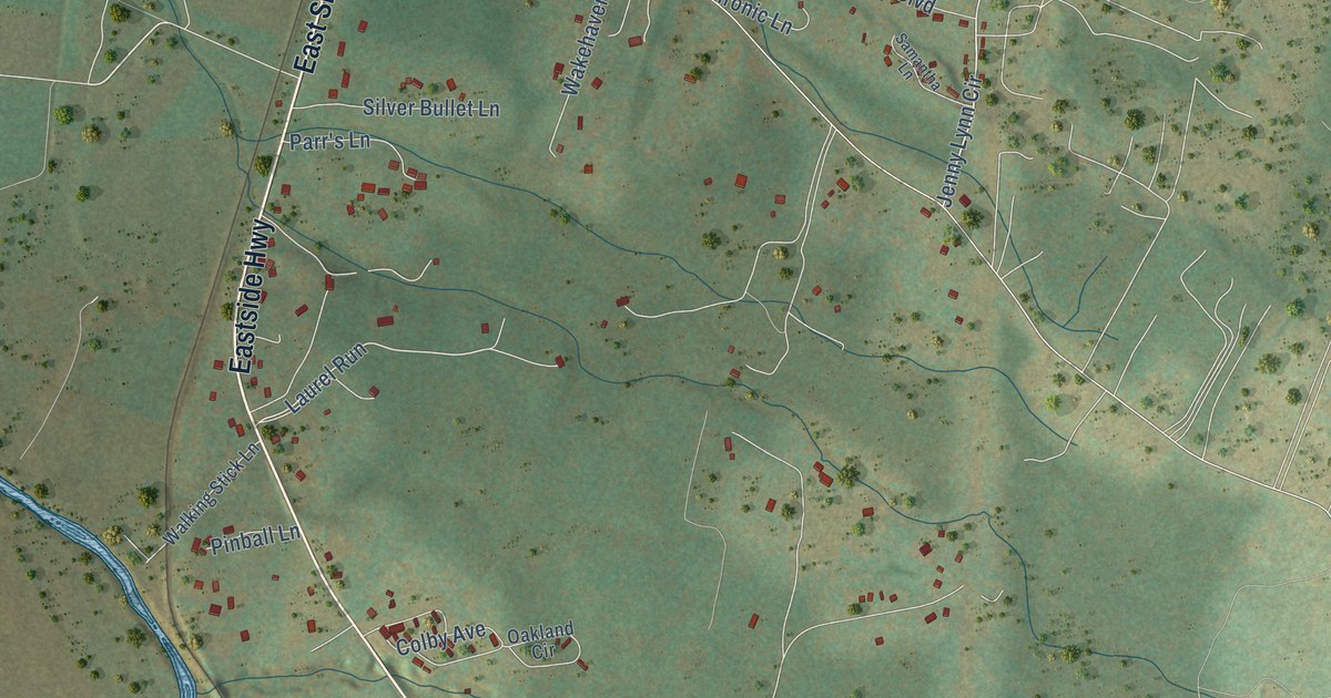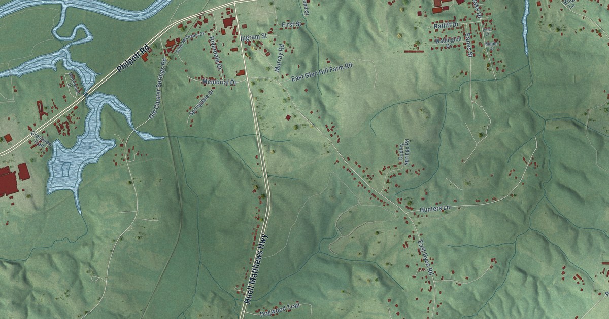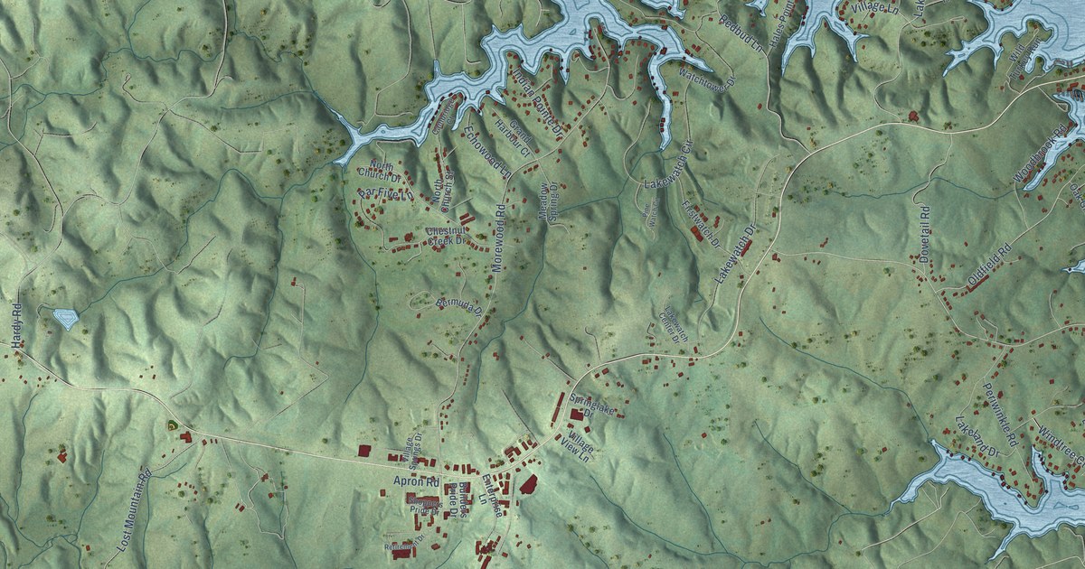
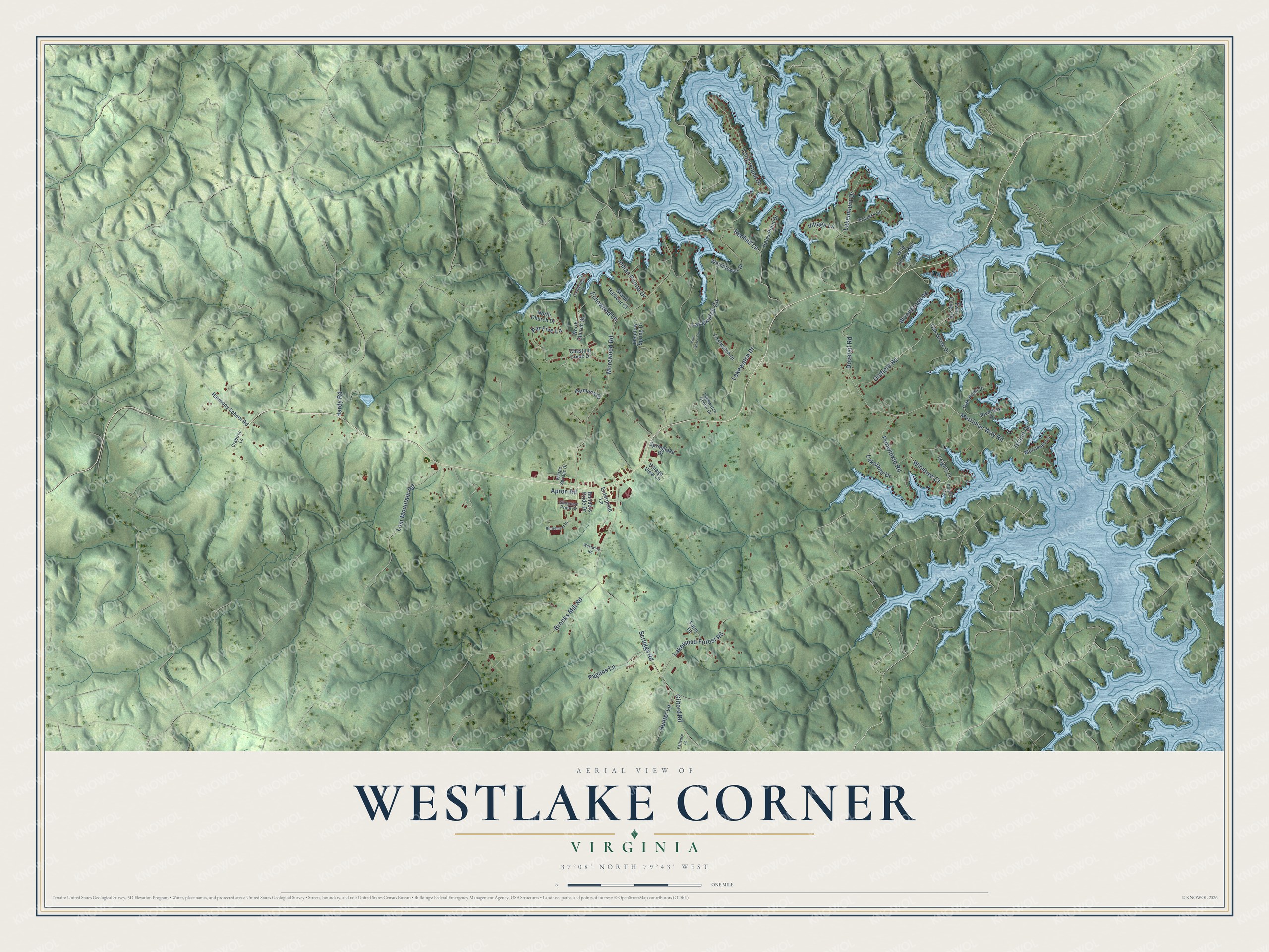
This beautifully detailed map of Westlake Corner, Virginia was created in 2026 using aerial imagery combined with modern topographical, census, street and landmark data. It's a modern aerial view of Westlake Corner in Franklin County, Virginia, that combines modern data with a vintage aesthetic. The roads feature printed names, and if you look closely you can find your exact house accurately shown in its correct location.
Explore an aerial view of Westlake Corner, Virginia
On this map you'll find Windtree Court, Long Island Drive, Merriman Way Road, Morewood Road, Scruggs Road, Redbud Lane, Brooks Mill Road, Lost Mountain Road, Lakemount Drive, Oldfield Road, Lakewatch Circle, Lakewatch Drive, and more. Each red shape is a building, so zoom in on the preview and look for yours.
Here is a piece of Westlake Corner history. Booker T. Washington was born enslaved in April 1856 on the 207-acre farm of James Burroughs, now Booker T. Washington National Monument. After the Civil War he became the first principal of Tuskegee Normal and Industrial School. As an adviser, author and orator, he went on to become the most influential African American of his era. That's from the National Park Service.
Westlake Corner is a community in Franklin County. The Census Bureau counted 1,553 people here in 2020.
Take a closer look at the Westlake Corner map
Names on this map
These names are printed on this map.
Streets and roads: Windtree Court, Long Island Drive, Merriman Way Road, Morewood Road, Scruggs Road, Redbud Lane, Brooks Mill Road, Lost Mountain Road, Lakemount Drive, Oldfield Road, Lakewatch Circle, Lakewatch Drive.
More street names, A to Z
Apron Road, Bermuda Drive, Builders Pride Drive, Cambridge Court, Chestnut Creek Drive, Crabtree Lane, Dovetail Road, Echowood Lane, Enterprise Lane, Firstwatch Drive, Gilford Road, Grand Harbour Court, Hales Point Drive, Hardy Road, Harmony School Road, Hunter Lane, Indian Pointe Drive, Island Drive, Lakeland Drive, Lakewatch Center Drive, Lakewood Forest Road, Leigh's Court, Meadow Spring Drive, Merriman Lane, North Church Drive, North Church Street, Oak Grove Drive, Oak Point Drive, Pagans Lane, Palm Drive, Par Five Lane, Patience Lane, Periwinkle Road, Pine Watch Circle, Pointe Drive, Retirement Drive, Riverbay Drive, Shoppers Pride Drive, Springlake Drive, Travers Lane, Twin Coves Drive, Village Lane, Village Springs Drive, Village View Lane, Watchtower Drive, Westwind Road, Wild Turkey Run, Woodbrook Road.
See it on a wall
The Westlake Corner map as a framed print. Swipe for more.


Created by KNOWOL in 2026. The buildings are small red shapes, the roads carry their printed names, and shaded relief shows the shape of the land. The title panel reads "AERIAL VIEW OF WESTLAKE CORNER, VIRGINIA" with 37°08' NORTH 79°43' WEST.
It suits a den, a classroom or a front hall, and it makes a gift for anyone with Westlake Corner roots. Open the preview and find the block you know. See sizes and frames for the Westlake Corner map.