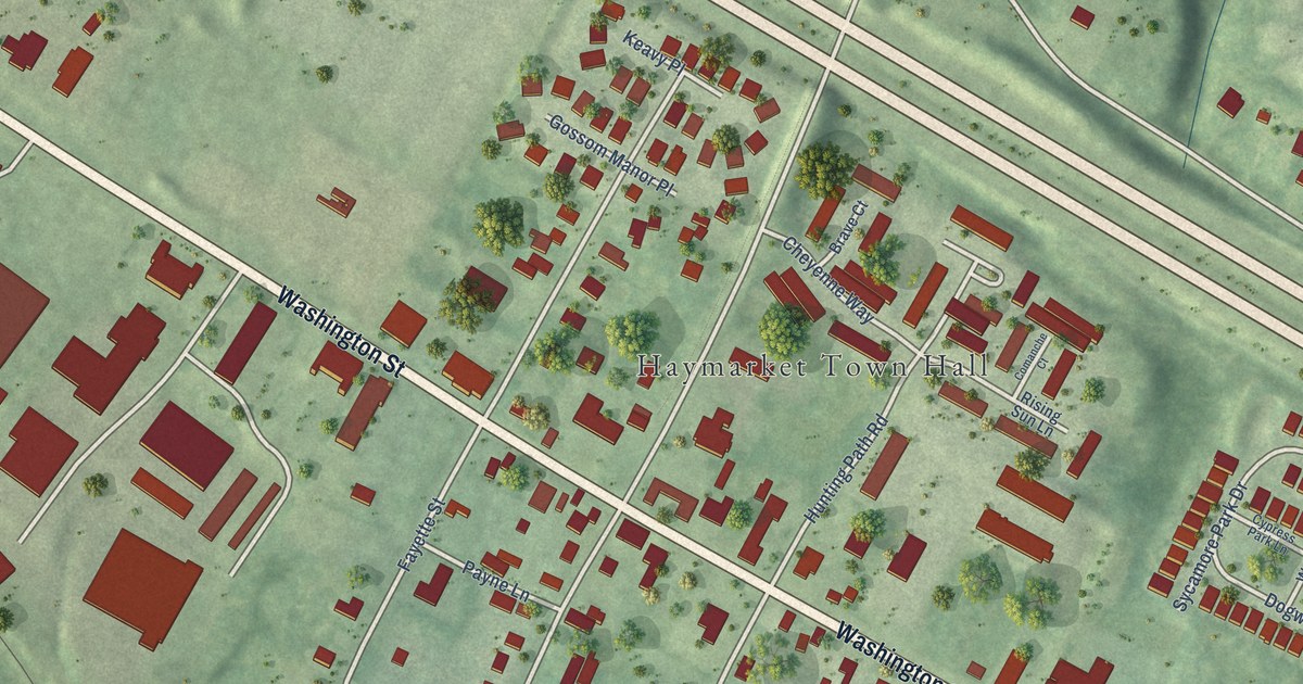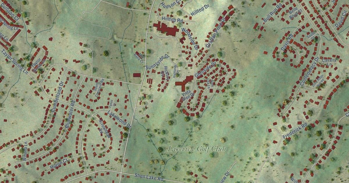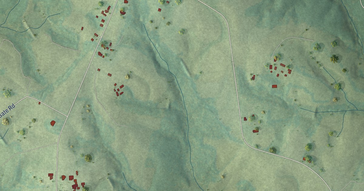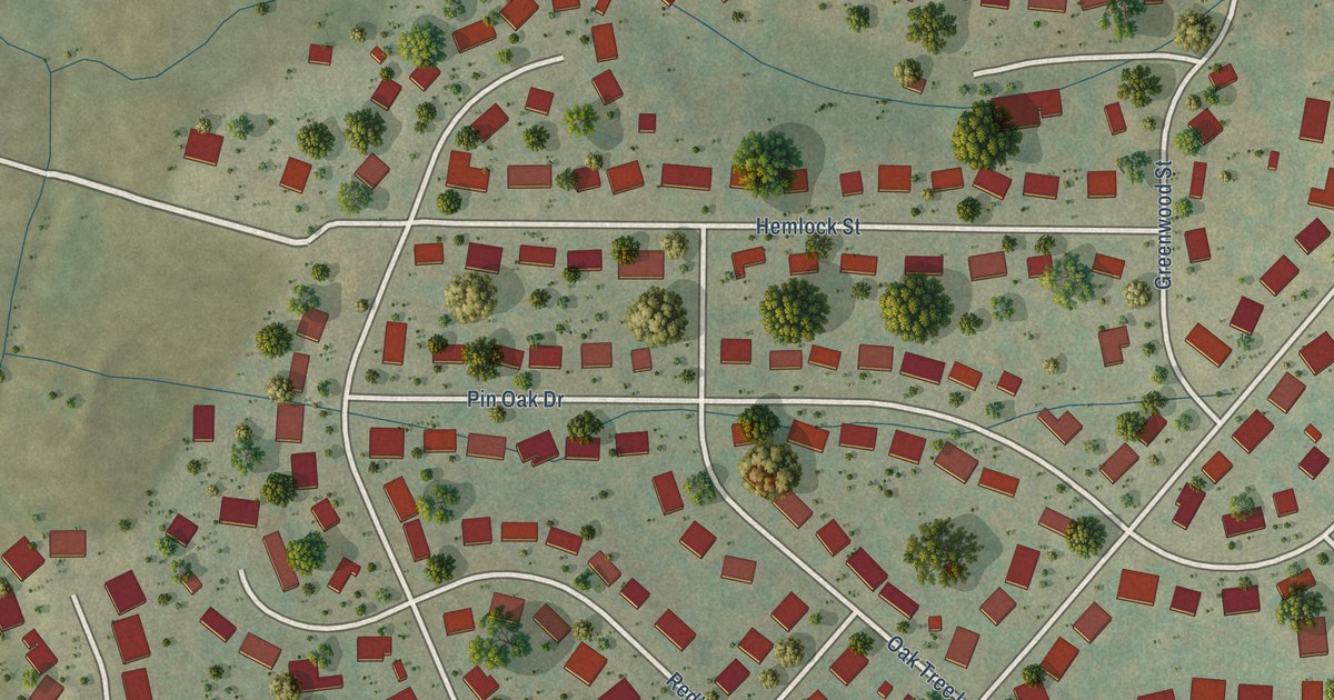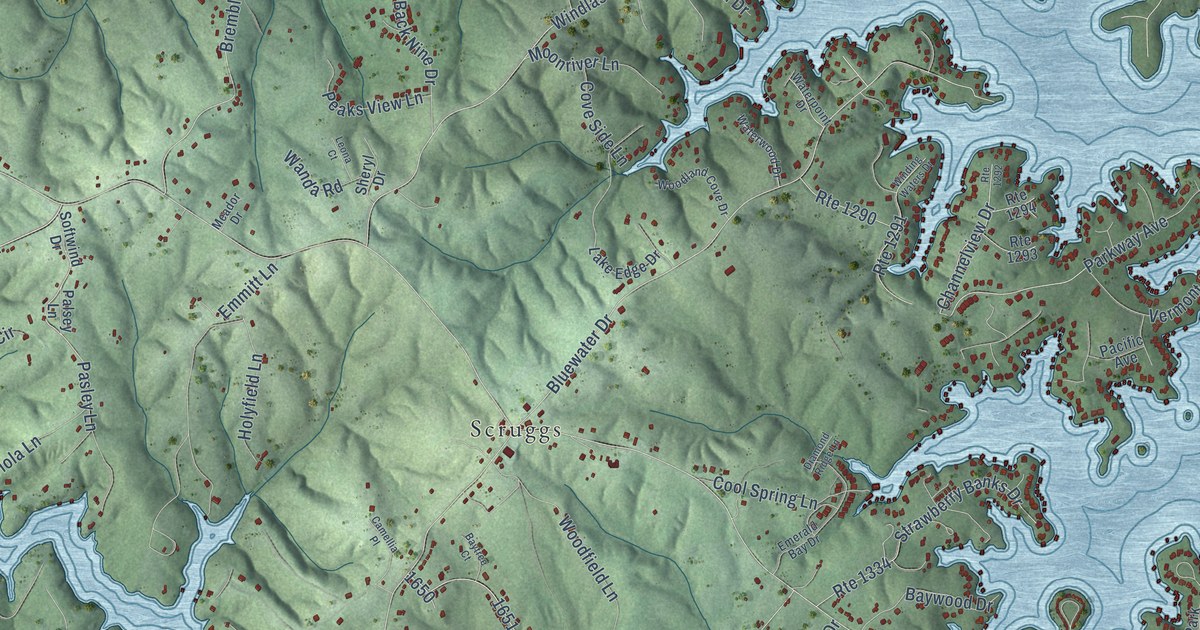
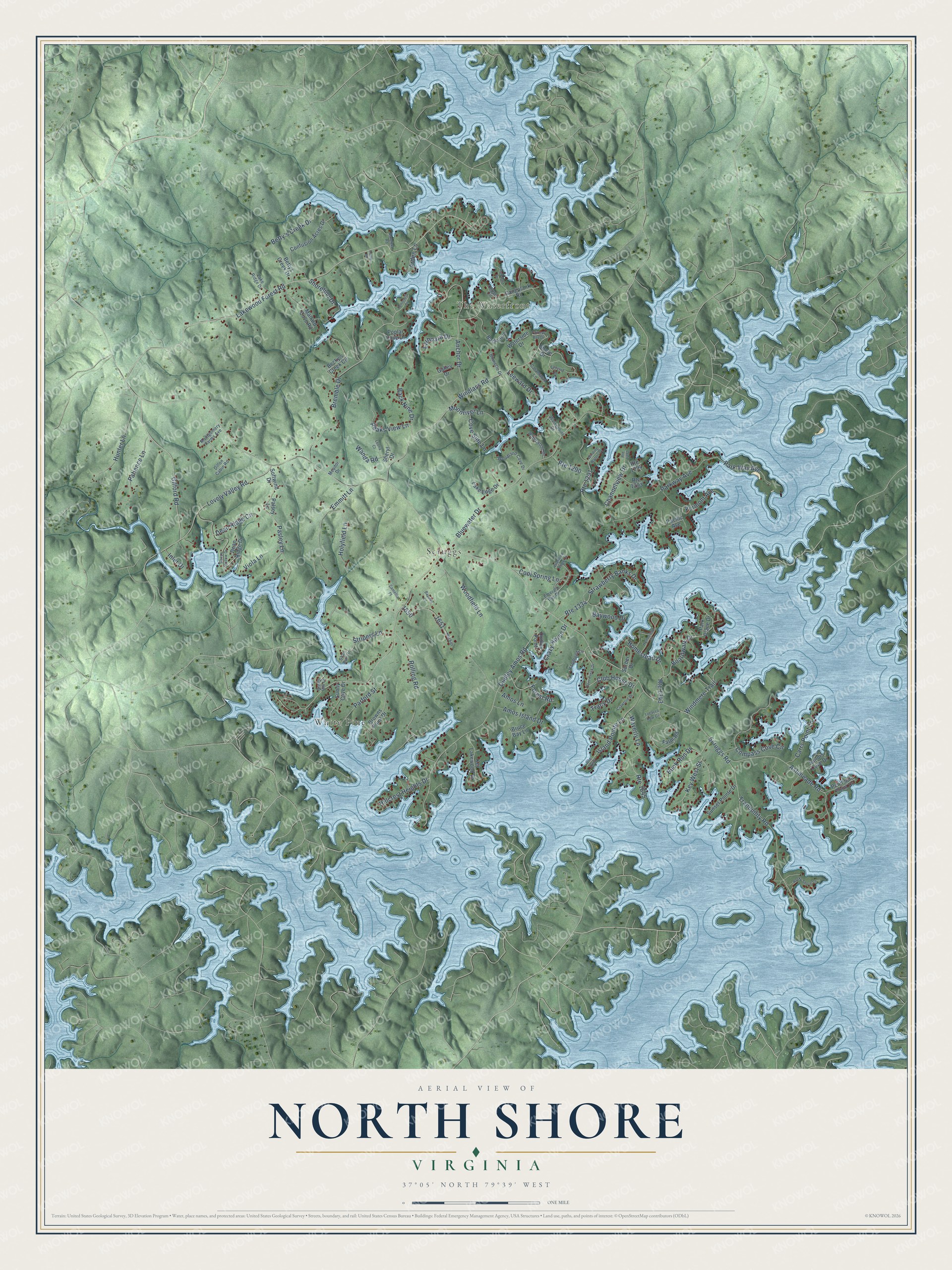
This beautifully detailed map of North Shore, Virginia was created in 2026 using aerial imagery combined with modern topographical, census, street and landmark data. It's a modern aerial view of North Shore in Franklin County, Virginia, that combines modern data with a vintage aesthetic. The roads feature printed names, and if you look closely you can find your exact house accurately shown in its correct location.
Explore an aerial view of North Shore, Virginia
On this map you'll find The Waterfront, White Pine, Scruggs, Gilford Road, Lakewood Forest Road, Buck Run Drive, Scruggs Road, Bluewater Drive, Dudley Amos Road, Windlass Road, Bremble Drive, Parkway Avenue, and more. Each red shape is a building, so zoom in on the preview and look for yours.
North Shore has a story worth telling. Faodail, the brick house built around 1825 for John Craghead on his Roanoke River plantation, still stands in The Waterfront community. When Smith Mountain Lake filled behind its dam in 1963, much of the old plantation went under the water, and the house is now one of the few antebellum brick buildings left anywhere around the lake. The land was part of a 730 acre grant along the Roanoke River made in 1794, and the house was saved on its own small lot when The Waterfront was built in the 1990s. That's from the Virginia Department of Historic Resources.
North Shore is a community in Franklin County. The Census Bureau counted 3,332 people here in 2020.
Take a closer look at the North Shore map
Names on this map
These names are printed on this map.
Places: The Waterfront, White Pine and Scruggs.
Streets and roads: Gilford Road, Lakewood Forest Road, Buck Run Drive, Scruggs Road, Bluewater Drive, Dudley Amos Road, Windlass Road, Bremble Drive, Parkway Avenue, Ashmeade Road, Tranquility Road, Anchor Drive.
More street names, A to Z
Amos Island Drive, Amos Lane, Arden Lane, Backcove, Back Nine Drive, Barefeet Road, Baytree Court, Baywood Drive, Becky's Creek Circle, Betty's Creek Drive, Bettys Creek Drive, Binnacle Drive, Boardwalk Drive, Browns Point Drive, Bruce Bay Lane, Camellia Place, Camp Road, Carrs Point Lane, Catamaran Lane, Channelview Drive, Clipper Circle, Club House Drive, Compass Cove Circle, Confusion Acres Drive, Cool Spring Lane, Cove Side Lane, Crawford Drive, Crazy Horse Drive, Dean Ridge Circle, Dean Ridge Drive, Deer Creek Drive, Diamond Ridge Lane, Dillon Cabin Road, Dudley Point, Emerald Bay Drive, Emmitt Lane, Fairway Bay Drive, Farm Road, Forest Road, Freeboard Drive, Galley Drive, Gangplank Road, Green Hill Court, Hammond Lane, Harbor, Hillcrest Heights Drive, Holyfield Lane, Homestead Circle, Homestead Drive, Hunter Lane, Inlet Drive, Island Pointe Lane, Key Lakewood Drive, Key West Street, Lake Edge Drive, Lake Ridge Drive, Lanyard Lane, Larboard Drive, Leeward Drive, Leona Court, Lovely Valley Road, Mallard Cove Road, Meador Drive, Montgomery Farms Avenue, Moonriver Lane, Pacific Avenue, Palsey Lane, Parford Street, Park Place Drive, Park Way Avenue, Pasley Lane, Patience Lane, Peaks View Lane, Peninsula Drive, Peninsula Point Drive, Poplar Cove Drive, Rocky Shore Lane, Rolling Road, Route 1290, Route 1291, Route 1292, Route 1293, Route 1294, Route 1334, Route 1343, Route 1640, Route 1645, Sailors Cove Drive, Shad Run Drive, Sheryl Drive, Shore Drive, Shoreline Drive, Sleepy Hollow Drive, Softwind Drive, Strawberry Banks Drive, Stripers Lane, Sunny Cove Drive, Sunset Pointe Drive, Surber Drive, Tobacco Row Circle, Tracy Drive, Vermont Avenue, Viola Lane, Wanda Road, Waterpoint Drive, Waterside Drive, Waterwood Drive, Waverly Lane, Winding Waters Drive, Windmere Trail, Woodfield Lane, Woodland Cove Drive.
See it on a wall
The North Shore map as a framed print. Swipe for more.


Created by KNOWOL in 2026. The buildings are small red shapes, the roads carry their printed names, and shaded relief shows the shape of the land. The title panel reads "AERIAL VIEW OF NORTH SHORE, VIRGINIA" with 37°05' NORTH 79°39' WEST.
It looks right in a kitchen, an office or a den, and it's a gift for anyone who grew up in North Shore or moved away. Open the preview and find your street. See sizes and frames for the North Shore map.