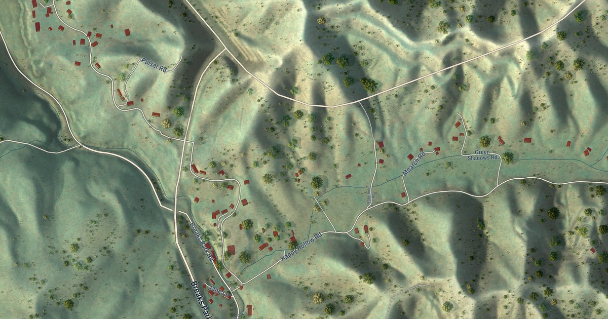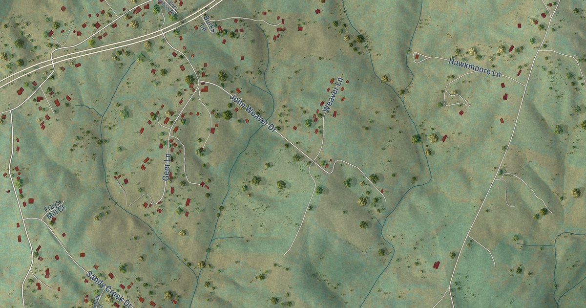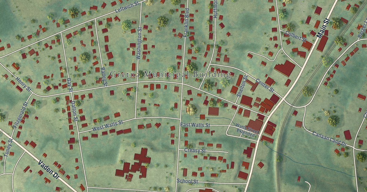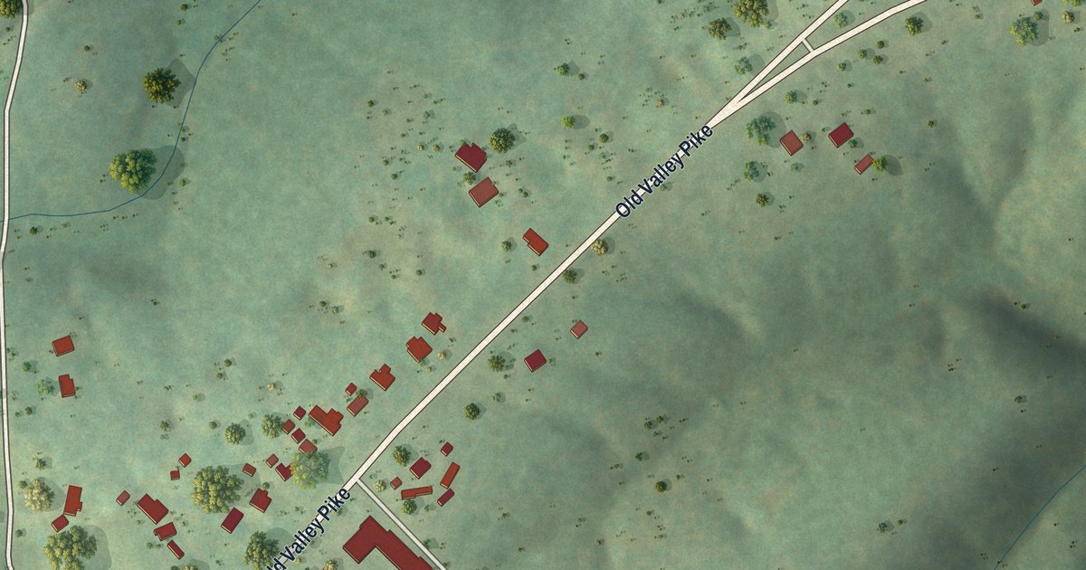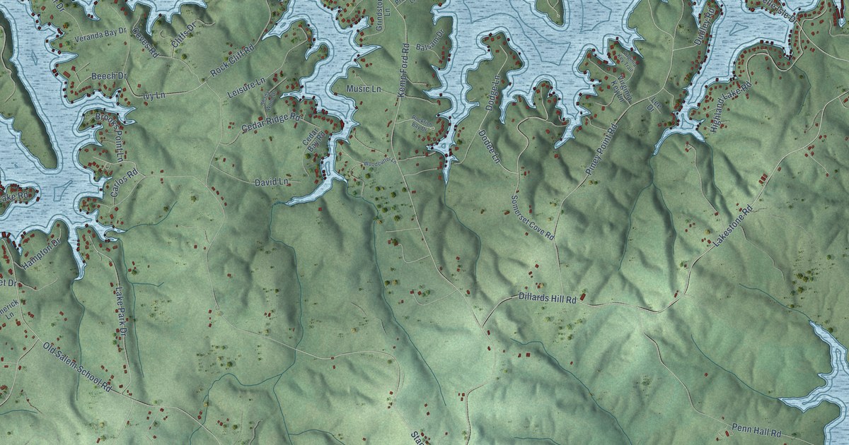
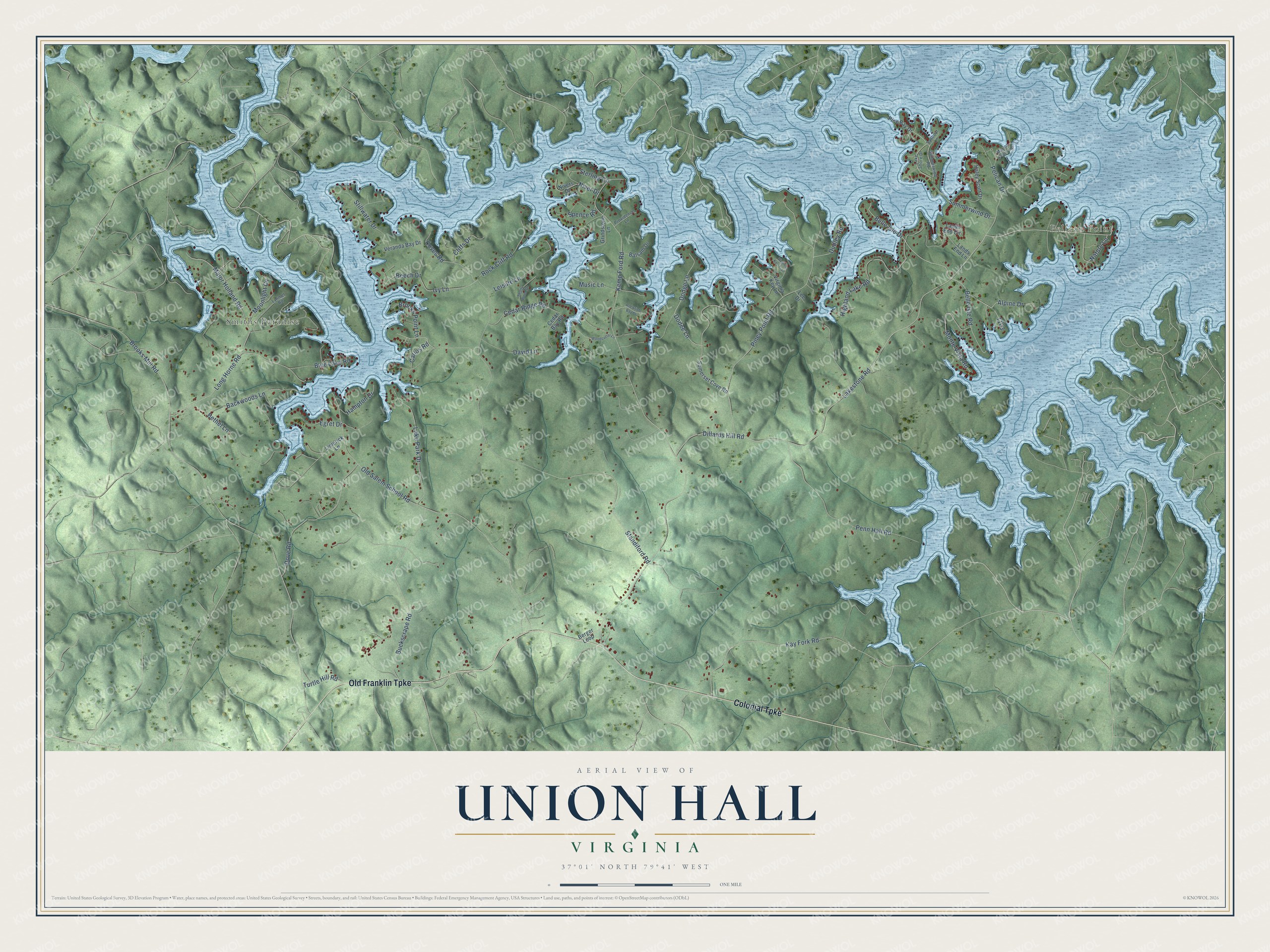
This beautifully detailed map of Union Hall, Virginia was created in 2026 using aerial imagery combined with modern topographical, census, street and landmark data. It's a modern aerial view of Union Hall in Franklin County, Virginia, that combines modern data with a vintage aesthetic. The roads feature printed names, and if you look closely you can find your exact house accurately shown in its correct location.
Explore an aerial view of Union Hall, Virginia
On this map you'll find Pelican Point, Smiths Paradise, Colonial Turnpike, Old Franklin Turnpike, Dillards Hill Road, Alpine Drive, Nature Lane, Lakestone Road, Kemp Ford Road, Brooks Mill Road, Standiford Road, Old Salem School Road, and more. Each red shape is a building, so zoom in on the preview and look for yours.
Union Hall has a story worth telling. The bluesman Archie Edwards was born in Union Hall in 1918. His father played banjo, harmonica and guitar at home and at local dances, Archie was playing guitar by the age of seven, and he grew into a master of the Piedmont blues, a finger-picking style rooted in the Appalachian foothills. Years later he hosted weekend music sessions at his barbershop in northeast Washington, D.C., and the D.C. Blues Society he helped found in 1987 held its first meetings there. That's from the Dictionary of Virginia Biography.
Union Hall is a community in Franklin County. The Census Bureau counted 1,328 people here in 2020.
Take a closer look at the Union Hall map
Names on this map
These names are printed on this map.
Places: Pelican Point and Smiths Paradise.
Streets and roads: Colonial Turnpike, Old Franklin Turnpike, Dillards Hill Road, Alpine Drive, Nature Lane, Lakestone Road, Kemp Ford Road, Brooks Mill Road, Standiford Road, Old Salem School Road, Piney Point Road, Buckscrape Road.
More street names, A to Z
Backwoods Lane, Balsam Drive, Beech Drive, Belle Isle Drive, Belle Isle Road, Berger Loop, Bethel Lane, Blue Lake Road, Brooks Point Lane, Carlos Road, Cedar Bay Road, Cedar Ridge Road, Cliffs Drive, Coves Road, David Lane, Dodee Lane, Dodge Lane, Dove Road, Dudley Road, Egret Drive, Grindstone Lane, Haley Scott Drive, Hampton Drive, Highland Lake Road, Ivy Lane, Kay Fork Road, Lake Park Drive, Lake Shore Drive, Lands End Circle, Lands End Lane, Lee Drive, Leisure Lane, Limerick Lane, Long Horne Road, Lynmel Road, Major Holland Road, Marina Point Lane, Monte Vista Road, Moonlight Cv, Music Lane, Niver Drive, Nivers Drive, Pelican Drive, Penn Hall Road, Pine Bay Drive, Providence Lane, Rock Cliff Road, Rockfish Bay Drive, Sailboat Lane, Shady Wood Drive, Somerset Cove Road, Spence Road, Sterling Circle, Stillwater Drive, Summerwind Drive, Summerwind Road, Turtle Hill Road, Veranda Bay Drive, Virginia Key Lane, Virginia Key Trail, Woodcutter Lane.
See it on a wall
The Union Hall map as a framed print. Swipe for more.


Created by KNOWOL in 2026. The buildings are small red shapes, the roads carry their printed names, and shaded relief shows the shape of the land. The title panel reads "AERIAL VIEW OF UNION HALL, VIRGINIA" with 37°01' NORTH 79°41' WEST.
It looks right in a kitchen, an office or a den, and it's a gift for anyone who grew up in Union Hall or moved away. Open the preview and find your street. See sizes and frames for the Union Hall map.