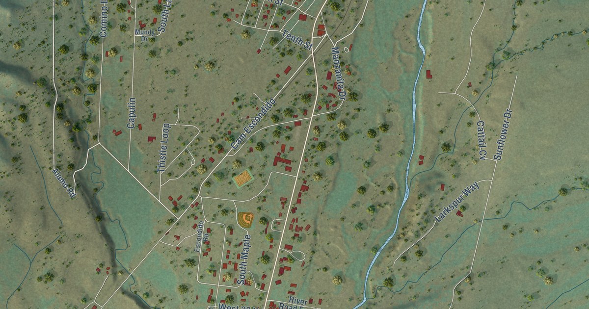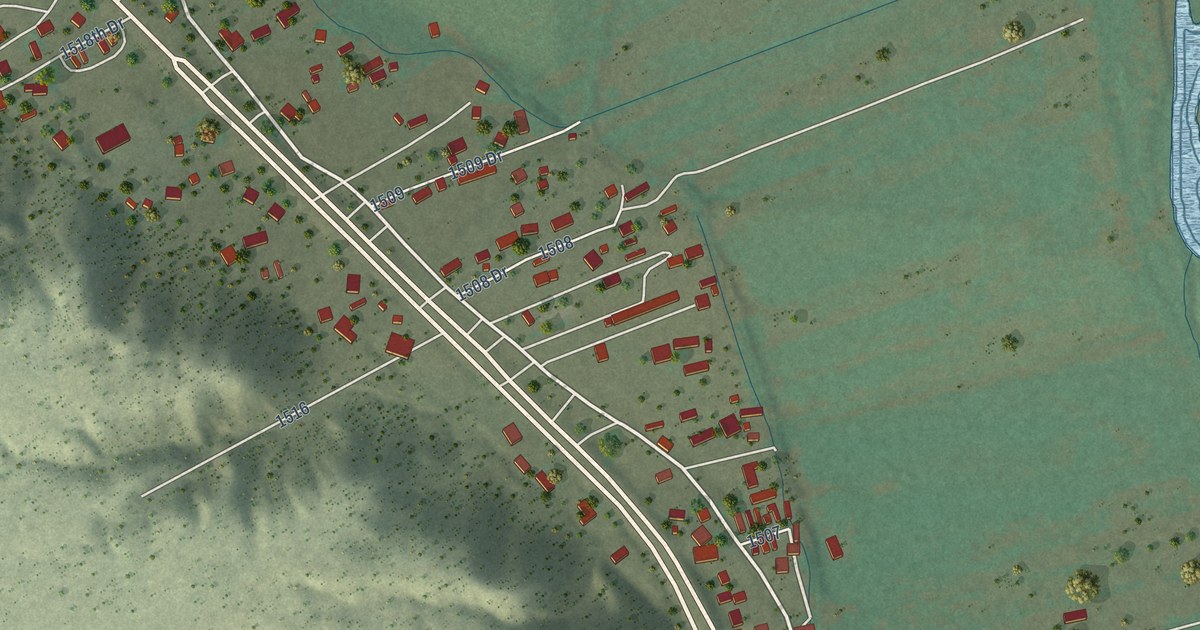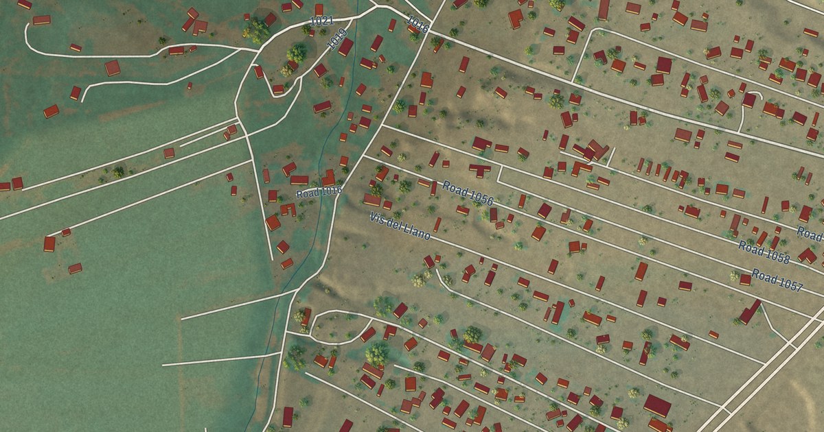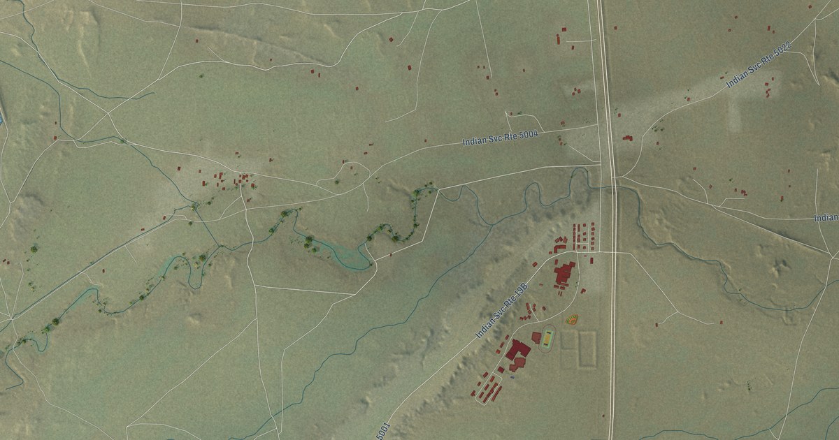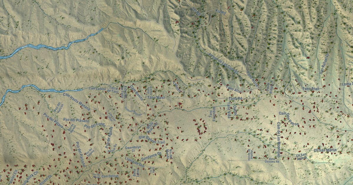
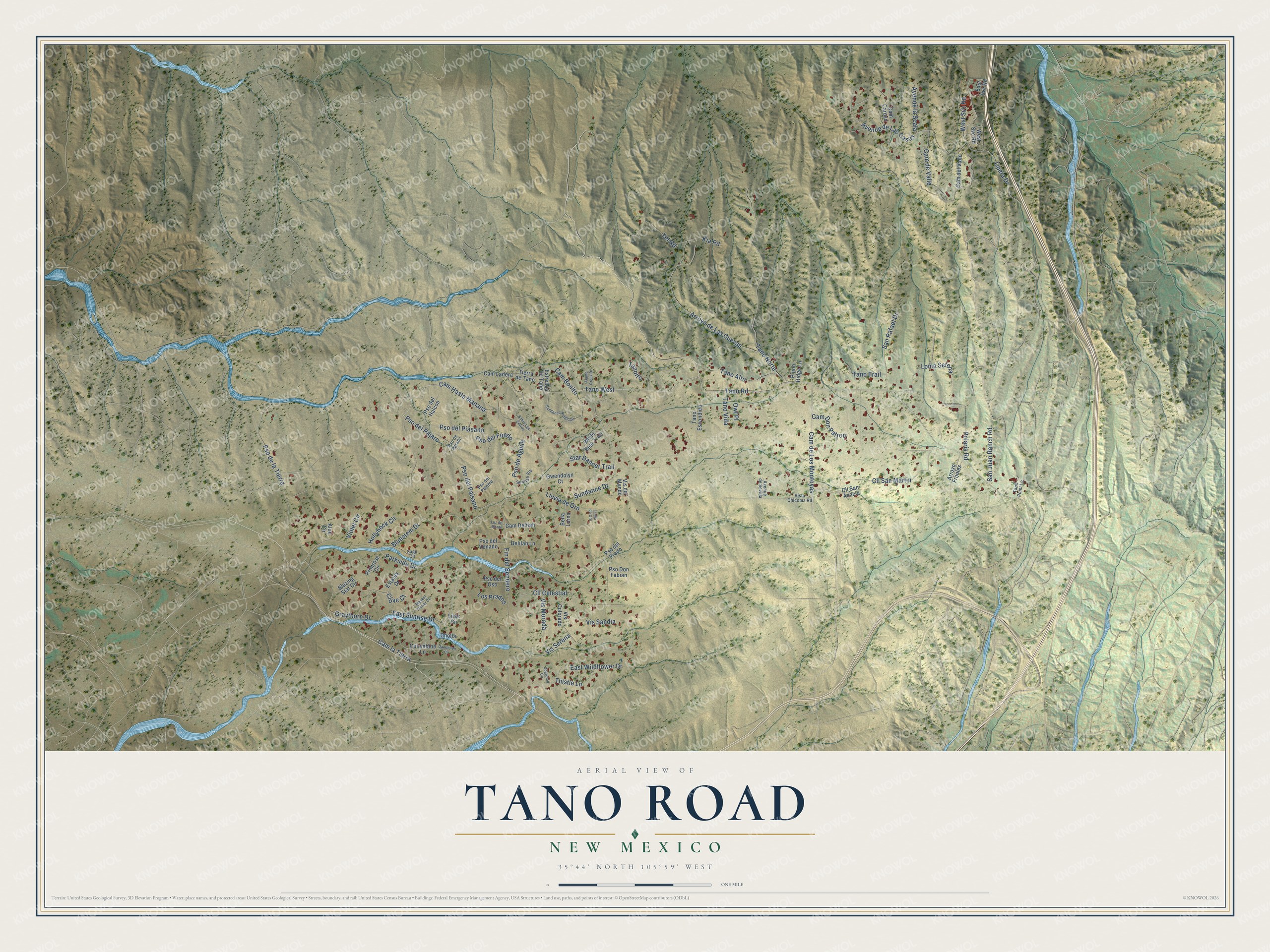
This beautifully detailed map of Tano Road, New Mexico was created in 2026 using aerial imagery combined with modern topographical, census, street and landmark data. It’s a one-of-a-kind view of Tano Road that combines accurate data with a vintage aesthetic. The map shows every building in its true location, many of the roads carry their names, and the shaded topographic relief shows the shape of the land.
Explore an aerial view of Tano Road, New Mexico
On the map you’ll find Tano West, Cam la Tierra, Cam Hasta Manana, Pso del Pajaro, Cam de Los Montoyas, Cam Bonito, Tano Norte, Pso de Aguila, and Avenue de Las Casas, along with Opera Drive, San Juan Ranch Road, and more. If you look closely you can even find your house accurately drawn in its correct location. Zoom in on the preview to look for yours.
Did You Know?
The Santa Fe Opera began on a rustic guest ranch of just 76 acres, which founder John O. Crosby took over in September 1956 on a three-year lease. The land had once been a pinto bean plantation, a mink farm and a pig farm, and the ranch had hosted conductors such as Fritz Reiner and Herbert von Karajan. To place the theater, Crosby and acoustician Jack Purcell rode over the grounds and fired guns to find the best natural bowl for sound. That's from the Santa Fe Opera.
Take a closer look at the Tano Road map
Names on this map
These names are printed on this map.
Streets and roads: Tano Road, Opera Drive, Tano West, San Juan Ranch Road, Cam la Tierra, Cam Hasta Manana, Pso del Pajaro, Cam de Los Montoyas, Cam Bonito, Tano Norte, Pso de Aguila, Avenue de Las Casas.
More street names, A to Z
Alamo Creek Drive, Aloe Circle, Arroyo de Las Cuevas, Arroyo Frijoles, Avenue de Sevilla, Avenue la Scala, Bella Lorna, Blanket Flower Circle, Blazing Star Circle, Bluestem Drive, Cam Caruso, Cam Delilah, Cam del Valle, Cam de Valle, Cam Don Patron, Cam Ladera, Cholla, Cll Celestial, Cll San Acacia, Cll San Martin, Clove Court, Columbine Lane, Dandelion Circle, Delilah Lane, Dogwood Circle, East Sunrise Drive, East Svc Road, East Wildflower Drive, Estates Drive, Estrellas de Tano, Fin del Sendero, Graythorn Drive, Gwendolyn Court, Hollyhock Circle, Kia Road, Lilac Circle, Lluvia de Oro, Loma de Oro, Loma Serena, Los Prados, Luz del Monte, Owl Place, Parkside Drive, Pinon Ridge Lane, Polaris Road, Primrose Circle, Pso de la Tierra, Pso del Fondo, Pso del Halcon, Pso del Oso, Pso del Paisano, Pso del Paloma, Pso del Piasano, Pso del Prado, Pso del Venado, Pso de Parado, Pso Don Fabian, Sage Circle, San Rafael Drive, Sobre Los Cerros, Star Dancer Trail, Sundance Drive, Sundance Ridge Circle, Sunrise Vis, Tano Alto, Tano Escondido, Tanoito, Tano Point Lane, Tano Trail, Tano Vida, Tel Road, Thistle Lane, Tierra de Tano, Violet Circle, Vis Colorado, Vis del Mundo, Vis Morada, Vis Sandia, Vis Serena, Vista Chicoma Road, West Svc Road, White Bear Trail.
See it on a wall
The Tano Road map as a framed print. Swipe for more.


This beautifully detailed map of Tano Road makes an attractive addition to your office, library, or den, and it can even be used to teach children the geography and history of the area. It also makes a great gift for someone who left Tano Road and still calls it home. When you’re done exploring, click here to get your copy of the Tano Road map.