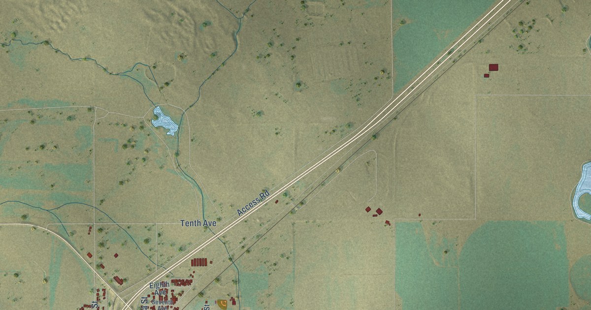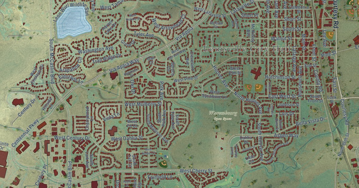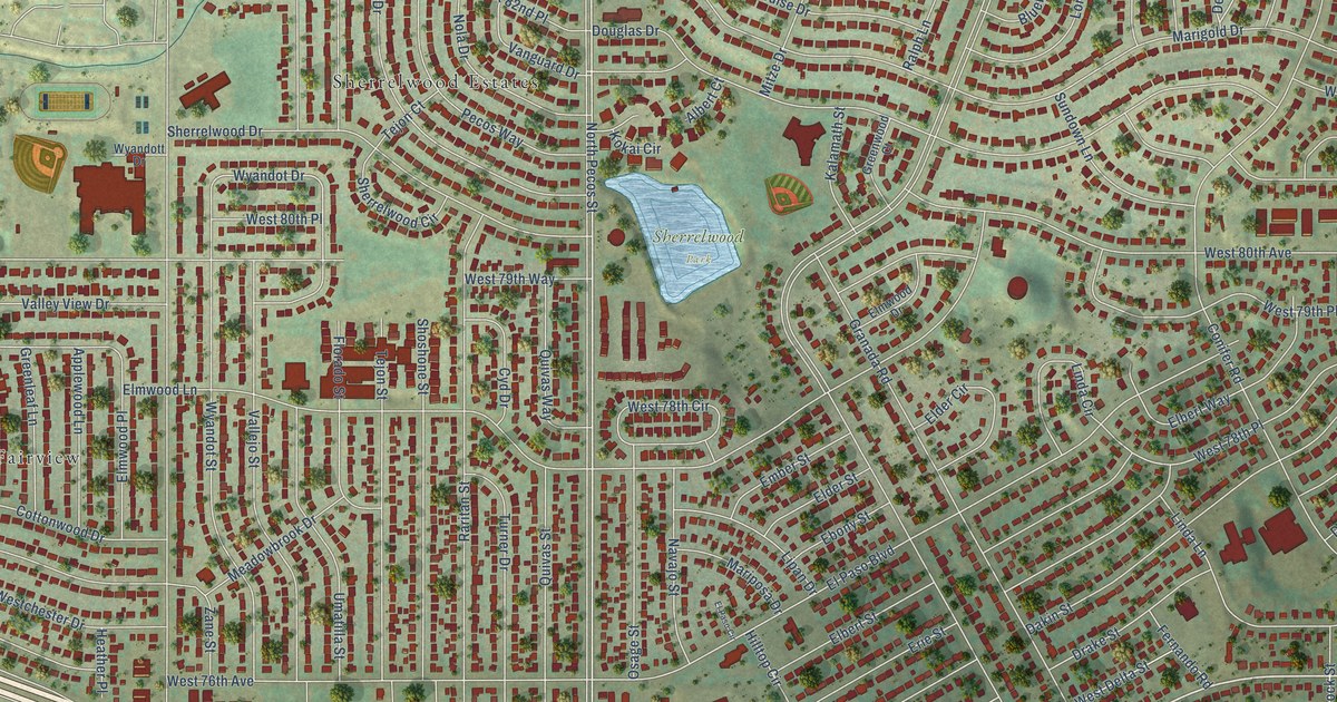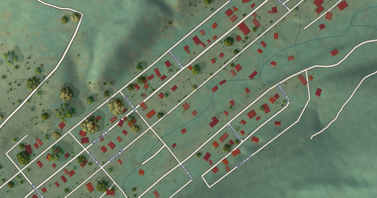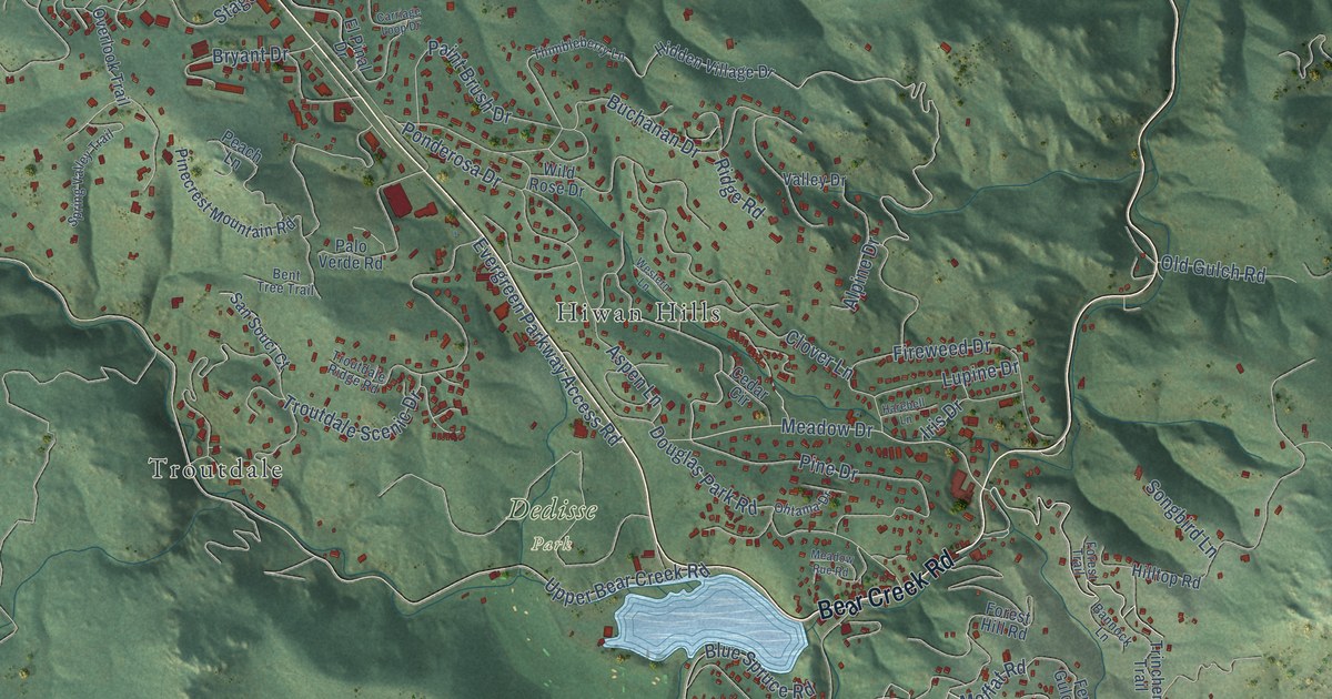
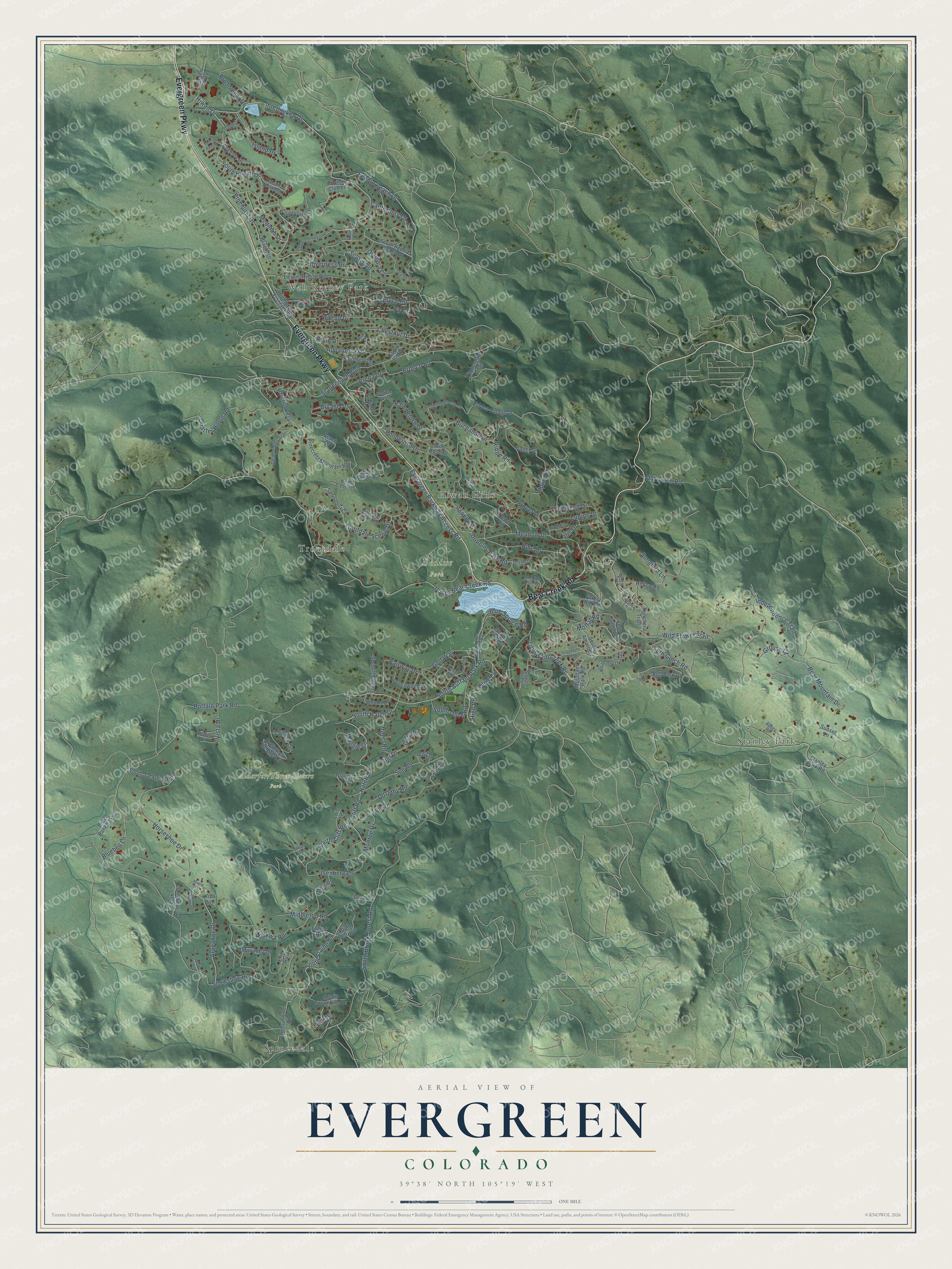
This beautifully detailed map of Evergreen, Colorado was created in 2026 using aerial imagery combined with modern topographical, census, street and landmark data. It's a modern aerial view of Evergreen in Jefferson County, Colorado, that combines modern data with a vintage aesthetic. The roads feature printed names, and if you look closely you can find your exact house accurately shown in its correct location.
Explore an aerial view of Evergreen, Colorado
On this map you'll find Wah Keeney Park, Alderfer/Three Sisters Park, Dedisse Park, Sprucedale, Stanley Park, Troutdale, Hiwan Hills, Evergreen Parkway, Bear Creek Road, Aspen Lane, South Olive Road, Spruce Road, and more. Each red shape is a building, so zoom in on the preview and look for yours.
Here is a piece of Evergreen history. Evergreen's Hiwan Homestead began in 1886 as a log barn that John Spence was building when Mary Neosha Williams bought it. Over ten years he enlarged it into a rambling log house with two octagonal towers, on her one condition that none of the large evergreens be cut down, so rooms were built around standing trees. Under the name Camp Neosha, it was the center of the Episcopal Church summer gathering known as the Evergreen Conference. That's from the National Register of Historic Places.
Evergreen is a community in Jefferson County. The Census Bureau counted 9,307 people here in 2020.
Take a closer look at the Evergreen map
Names on this map
These names are printed on this map.
Places: Wah Keeney Park, Dedisse Park, Sprucedale, Stanley Park, Troutdale and Hiwan Hills.
Streets and roads: Evergreen Parkway, Bear Creek Road, Aspen Lane, South Olive Road, Spruce Road, High Road, Moffat Road, Independence Trail, Meadow Drive, Alpine Drive, South Elaine Road, Buffalo Park Road.
More street names, A to Z
3 Sisters Circle, Abbey Road, Alice Drive, American Parkway, Appaloosa Drive, Arapahoe Drive, Arena Drive, Augusta Drive, Bannock Lane, Bear Mountain Drive, Bell Park Drive, Bent Tree Trail, Bergen Parkway, Bluebell Lane, Blue Spruce Road, Braeburn Lane, Broadmoor Drive, Broce Ranch Trail, Bronco Road, Bryant Drive, Buchanan Drive, Camel Heights Road, Canterbury Circle, Carriage Loop Drive, Cedar Circle, Chestnut Drive, Clearwater Drive, Cliff Road, Clover Lane, Clubhouse Lane, Columbine Road, Country Club Lane, Creekside Lane, Dorothy Road, Douglas Park Road, Elaine Road, El Pinal Drive, Erie Run, Evergreen Heights Drive, Evergreen Parkway Access Road, Fairway Drive, Fern Gulch Drive, Fern Gulch Road, Fir Drive, Fireweed Drive, Forest Hill Road, Forest Trail, Gallery Lane, Gigi Drive, Gigi Road, Golf Way, Greenwood Lane, Grouse Court, Harebell Lane, Hatch Drive, Hazel Road, Hidden Village Drive, Highway 74 Frontage Road, Hilltop Drive, Hilltop Road, Hiwan Drive, Horseshoe Drive, Interlocken Drive, Inverness Drive, Iris Drive, Isenberg Lane, Island Drive, King Drive, Kiva Lane, Lee Drive, Lee Road, Lewis Lane, Lewis Ridge Road, Liberty Drive, Little Cub Creek Road, Lois Lane, Lupine Drive, Maggie Lane, Manitoba Drive, Meadow Rue Road, Medinah Drive, Middleton Road, Miwok Trail, Modoc Lane, Monroe Drive, Mountain Park Road, Niakwa Road, Ohtama Drive, Old Gulch Road, Olive Lane, Olympia Circle, Olympia Lane, Overlook Trail, Paint Brush Drive, Palomino Drive, Palo Verde Road, Peach Lane, Pebble Beach Drive, Peggy Lane, Pinecrest Mountain Road, Pine Drive, Pinehurst Drive, Pine Road, Ponderosa Drive, Posy Lane, Quarter Horse Road, Ridge Road, Roan Drive, Roan Road, Roon Road, San Souci Court, Scotia Road, Shasta Lane, Snowshoe Road, Songbird Lane, South Amaro Drive, South Arapahoe Drive, South Betty Lane, South Bit Road, South Blue Spruce Road, South Brook Forest Road, South Buffalo Park Road, South Cliff Road, South Columbine Drive, South Hatch Drive, South Hearth Drive, South Hiwan Drive, South Interlocken Drive, South Jackpine Road, South Pebble Beach Drive, South Pine Road, South Syndt Road, Spring Valley Trail, Sprucedale Park Way, Stagecoach Boulevard, Stanley Park Road, Sue Circle, Sue Road, Sunset Lane, Thimbleberry Lane, Timbergate Trail, Torrey Pine Drive, Trinchera Trail, Troutdale Ridge Road, Troutdale Scenic Drive, Upper Bear Creek Road, Valley Drive, Vista Drive, Western Lane, White House Trail, Wild Flower Trail, Wild Rose Drive, Woods Drive.
See it on a wall
The Evergreen map as a framed print. Swipe for more.


Created by KNOWOL in 2026. The buildings are small red shapes, the roads carry their printed names, and shaded relief shows the shape of the land. The title panel reads "AERIAL VIEW OF EVERGREEN, COLORADO" with 39°38' NORTH 105°19' WEST.
It suits a den, a classroom or a front hall, and it makes a gift for anyone with Evergreen roots. Open the preview and find the block you know. See sizes and frames for the Evergreen map.