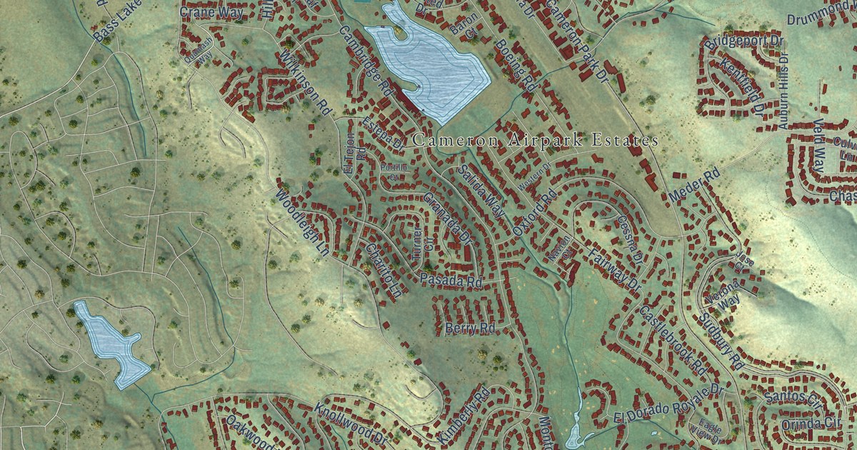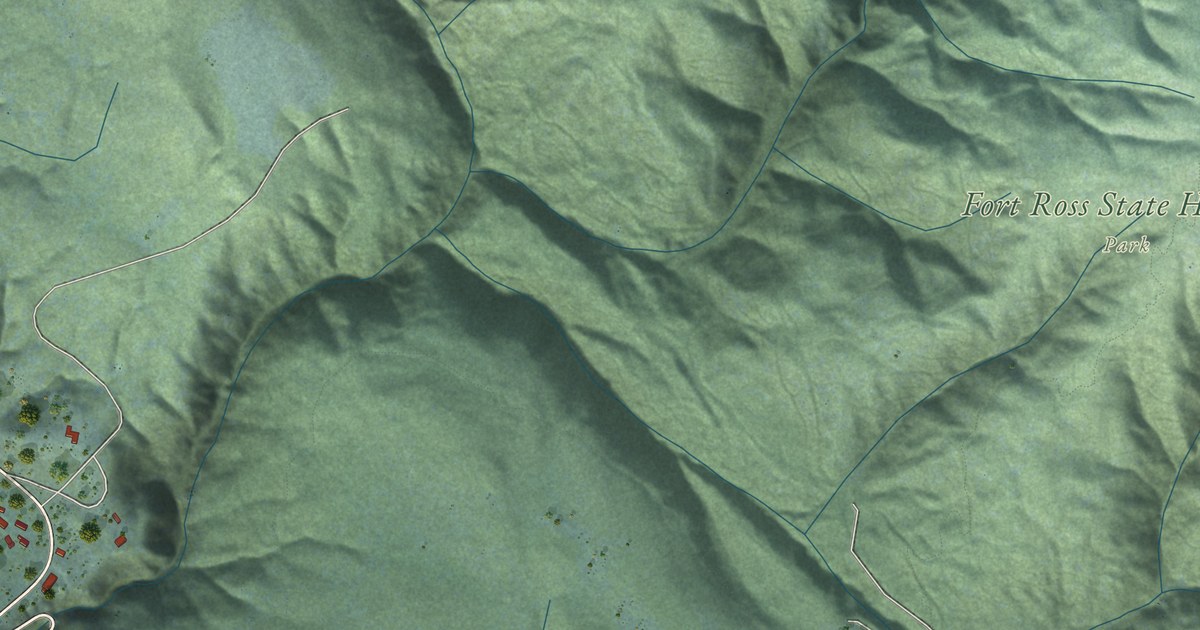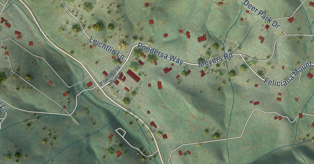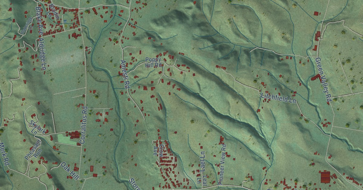
This beautifully detailed map of Corralitos, California was created in 2026 using aerial imagery combined with modern topographical, census, street and landmark data. It’s a one-of-a-kind view of Corralitos that combines accurate data with a vintage aesthetic. The map shows every building in its true location, many of the roads carry their names, and the shaded topographic relief shows the shape of the land.
Explore an aerial view of Corralitos, California
On the map you’ll find Browns Valley Road, Hames Road, Eureka Canyon Road, Pleasant Valley Road, Corralitos Road, Green Valley Road, Hazel Dell Road, Dietrich Road, Freedom Boulevard, Merk Road, Pioneer Road, Pioneers Road, and more. If you look closely you can even find your house accurately drawn in its correct location. Zoom in on the preview to look for yours.
Did you know this piece of Corralitos, California history?
Corralitos means a number of small enclosures, or little corrals. In early days redwoods grew in part of the valley in rough circles, like the walls of a stockade, around bare or grassy spots twenty to a few hundred feet across, and those rings gave the place its name. That's from the 1892 History of Santa Cruz County.
Take a closer look at the Corralitos map
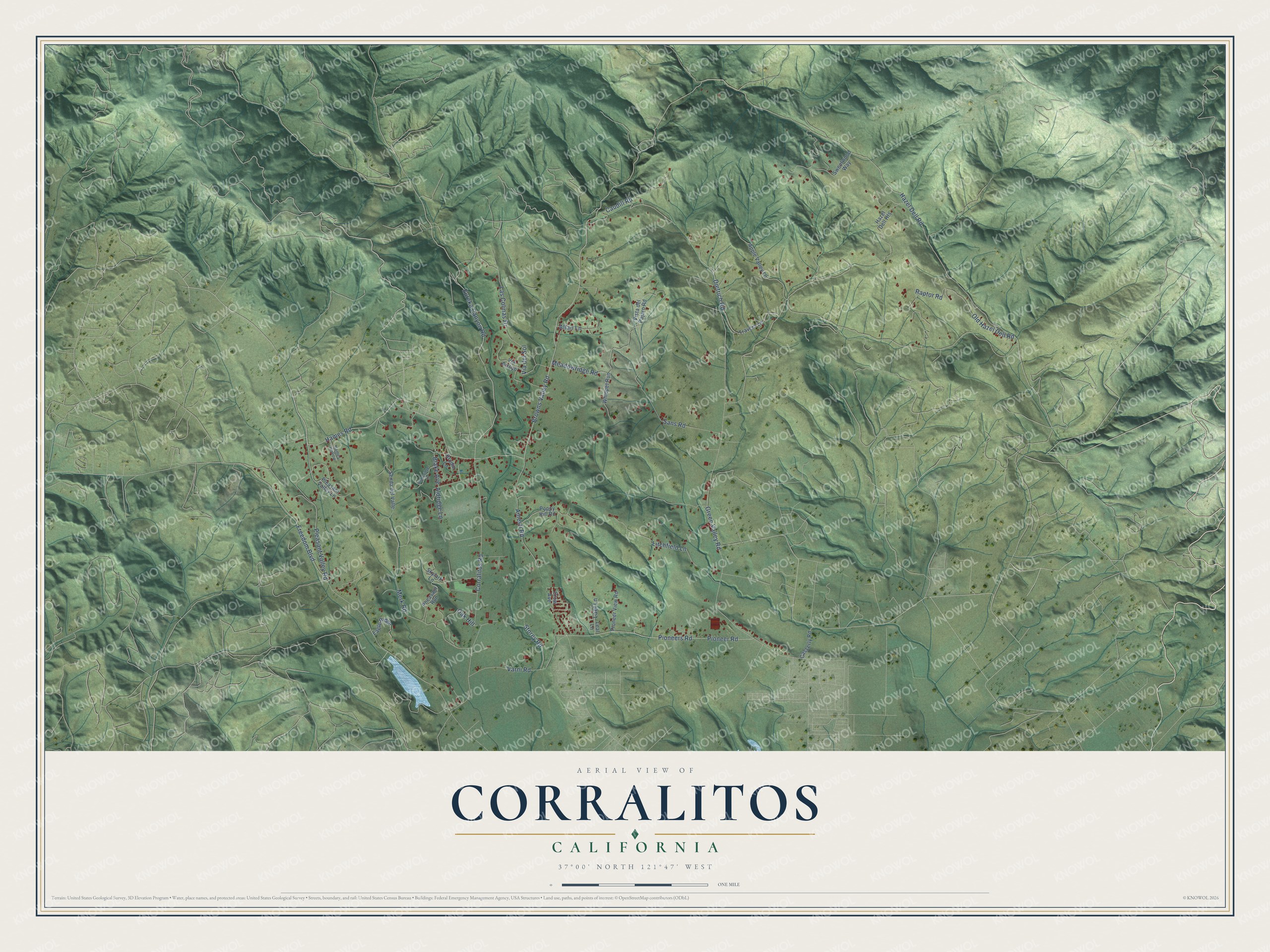
Street names on the Corralitos, California map
These names are printed on the map of Corralitos, California.
Streets and roads: Browns Valley Road, Hames Road, Eureka Canyon Road, Pleasant Valley Road, Corralitos Road, Green Valley Road, Hazel Dell Road, Dietrich Road, Freedom Boulevard, Merk Road, Pioneer Road, Pioneers Road.
More street names, A to Z
Aldridge Lane, Allan Lane, Amesti Road, Apple Valley Lane, Blake Avenue, Blakeridge Lane, Brodin Lane, Casserly Road, Caudill Road, Crow Avenue, Eagle Ridge, Hames Hollow, Hazel Dell Heights, Lael Lane, Las Colinas Drive, Leal Lane, Litchfield Lane, Meadowridge Road, Oak Hill, Old Hazel Dell Road, Pheasant Run, Pioneer View Road, Pleasant Valley Lane, Poppy Hill Road, Raptor Road, Sans Road, Senda del Valle, Skylark Lane, Storey Road, Sweetwood Way, Travers Lane, Varni Road, Via Arroyo, Via del Sol, Vista del Pajaro Road, Whippet Run.
See the Corralitos, California map on a wall
The Corralitos map as an 18 x 24 inch print in a black frame.

This beautifully detailed map of Corralitos makes an attractive addition to your office, library, or den, and it can even be used to teach children the geography and history of the area. It also makes a great gift for someone who left Corralitos and still calls it home. When you’re done exploring, click here to get your copy of the Corralitos map.