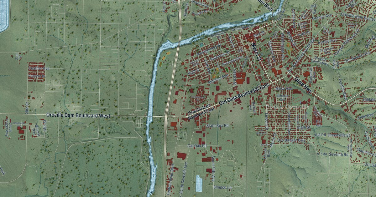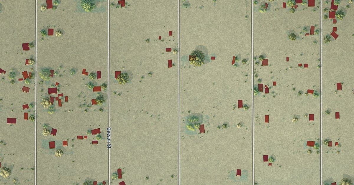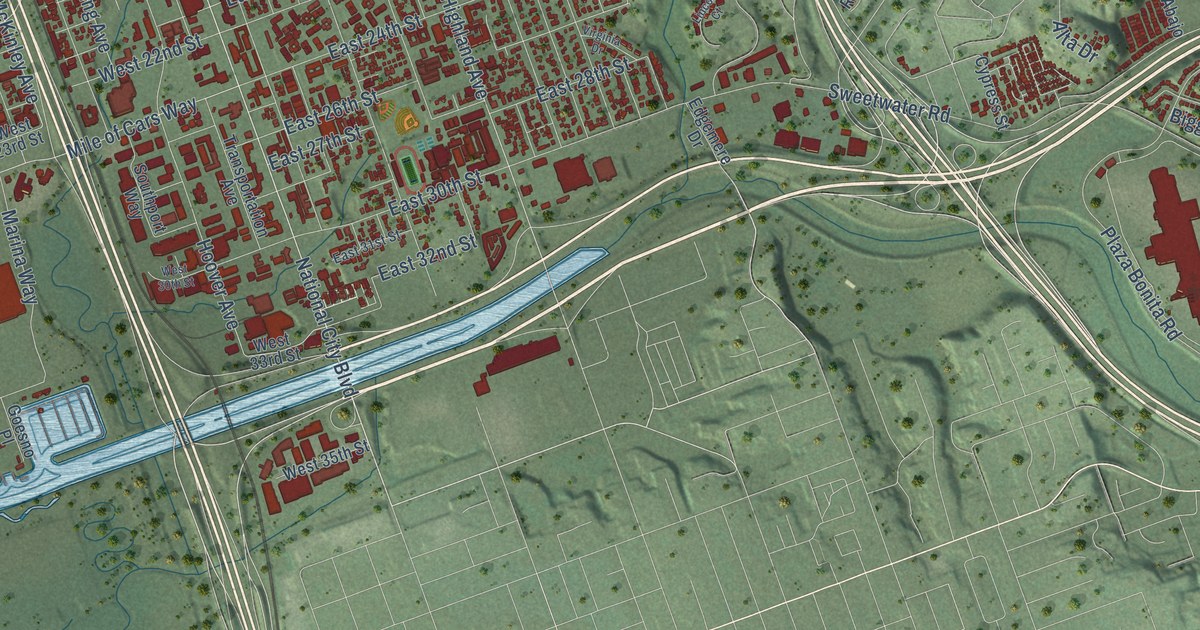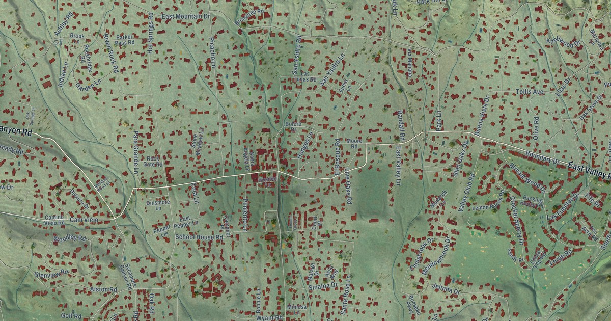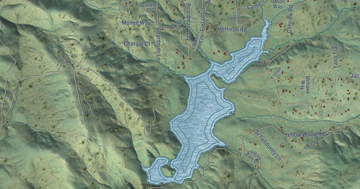
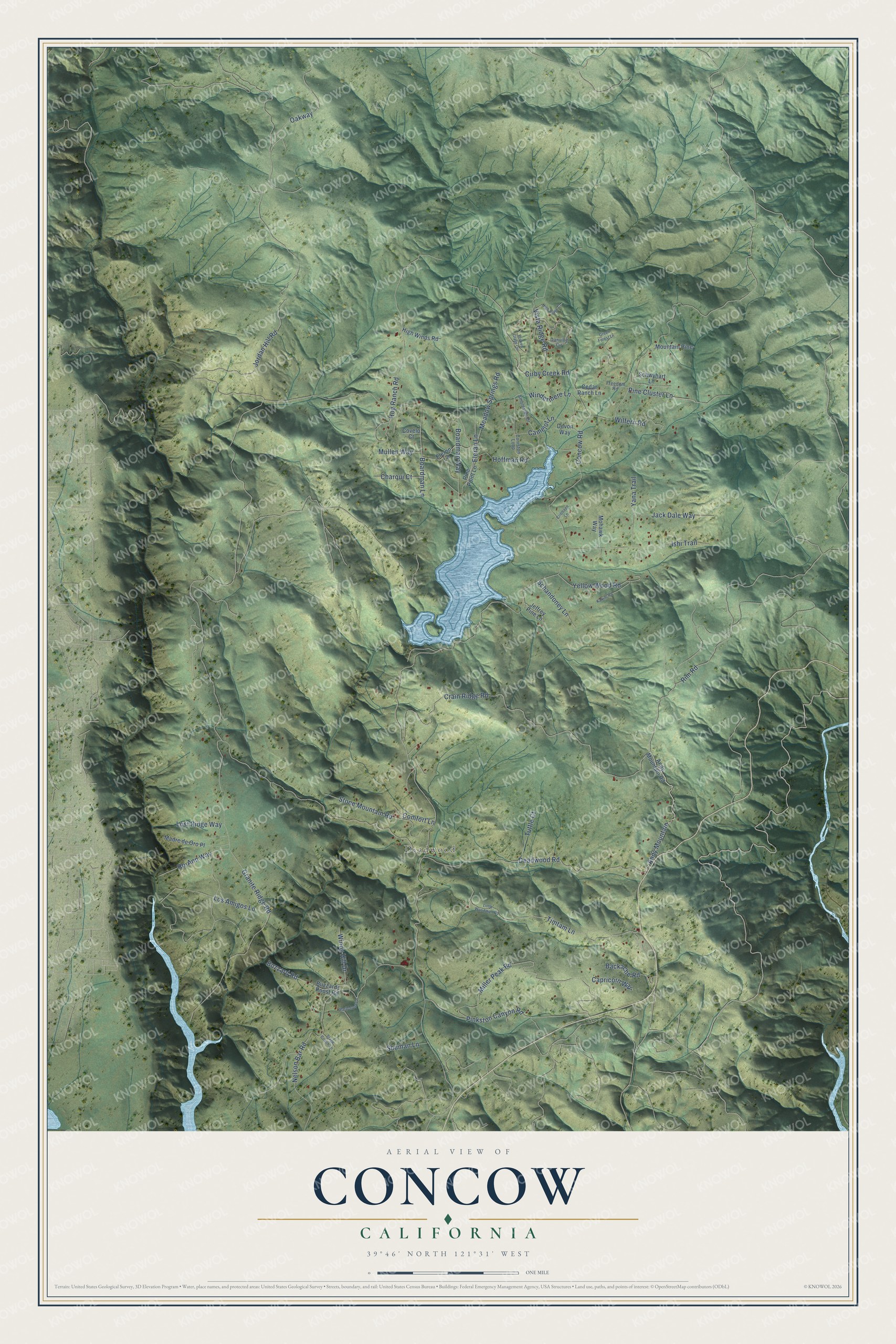
This beautifully detailed map of Concow, California was created in 2026 using aerial imagery combined with modern topographical, census, street and landmark data. It's a modern aerial view of Concow in Butte County, California, that combines modern data with a vintage aesthetic. The roads feature printed names, and if you look closely you can find your exact house accurately shown in its correct location.
Explore an aerial view of Concow, California
On this map you'll find Deadwood, Andy Mountain, Pine Cluster Lane, Concow Road, Jordan Hill Road, Rim Road, Granite Ridge Road, Crain Ridge Road, Hoffman Road, Hog Ranch Road, Oakway, Deadwood Road, and more. Each red shape is a building, so zoom in on the preview and look for yours.
Concow has a story worth telling. The 1882 History of Butte County says Concow Valley took its name from a band of about seven hundred Concow people who were camped there when settlers came. The name first turns up in print in a May 1857 Oroville newspaper story about a trip through the valley. Newspapers of the day and the people of Butte and Tehama counties always spelled it Concow, while the writer Stephen Powers used the spelling Konkau in his 1877 book on California tribes. That's from the Yankee Hill Historical Society.
Concow is a community in Butte County. The Census Bureau counted 402 people here in 2020.
Take a closer look at the Concow map
Names on this map
These names are printed on this map.
Places: Deadwood.
Streets and roads: Andy Mountain, Pine Cluster Lane, Concow Road, Jordan Hill Road, Rim Road, Granite Ridge Road, Crain Ridge Road, Hoffman Road, Hog Ranch Road, Oakway, Deadwood Road, Nelson Bar Road.
More street names, A to Z
Ambleside Drive, Andy Mountain Road, Backache Road, Boardman Lane, Boardman Way, Broken Glass Circle, Buzzard Road, Buzzards Roost Road, Camelot Lane, Capricorn Way, Cedar Ranch Lane, Charqui Court, Cirby Creek Road, Comfort Lane, Coniston Loop, Covelo Court, Cribbage Lane, Danville Circle, Devon Way, Eleran Lane, Eleron Lane, Freedom Road, Green Forest Lane, High Ridge Court, High Winds Road, Ishi Trail, Jack Dale Way, Jeffrey Pine Lane, Kakini Road, Little Woodman Road, Los Amigos Lane, Lost Ridge Way, Madre de Oro Place, Meadow Springs Road, Miller Peak Road, Mohawk Way, Mountain Pine, Mullen Way, Pine Point Lane, Pinkston Canyon Road, Ro-Ann Way, Schandoney Lane, Schwyhart Lane, Shuman Lane, Stage Coach Lane, Stone Mountain Road, Timtam Lane, Tuttle Court, Vista Ridge Road, Warbonnet Lane, Wilfern Road, Windermere Lane, Windy Hill Drive, Yana Trail, Yellow Wood Road.
See it on a wall
The Concow map as a framed print. Swipe for more.


Created by KNOWOL in 2026. The buildings are small red shapes, the roads carry their printed names, and shaded relief shows the shape of the land. The title panel reads "AERIAL VIEW OF CONCOW, CALIFORNIA" with 39°46' NORTH 121°31' WEST.
It looks right in a kitchen, an office or a den, and it's a gift for anyone who grew up in Concow or moved away. Open the preview and find your street. See sizes and frames for the Concow map.