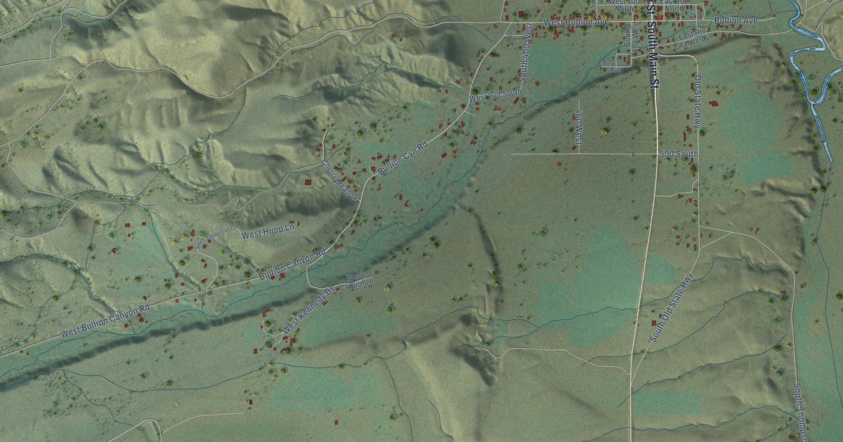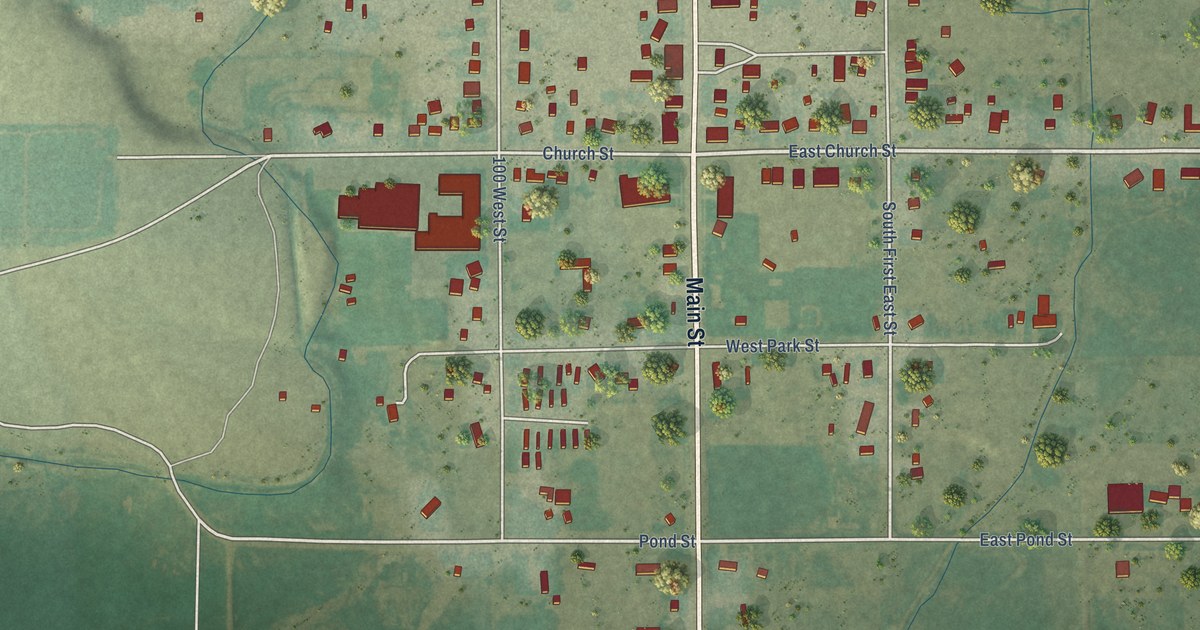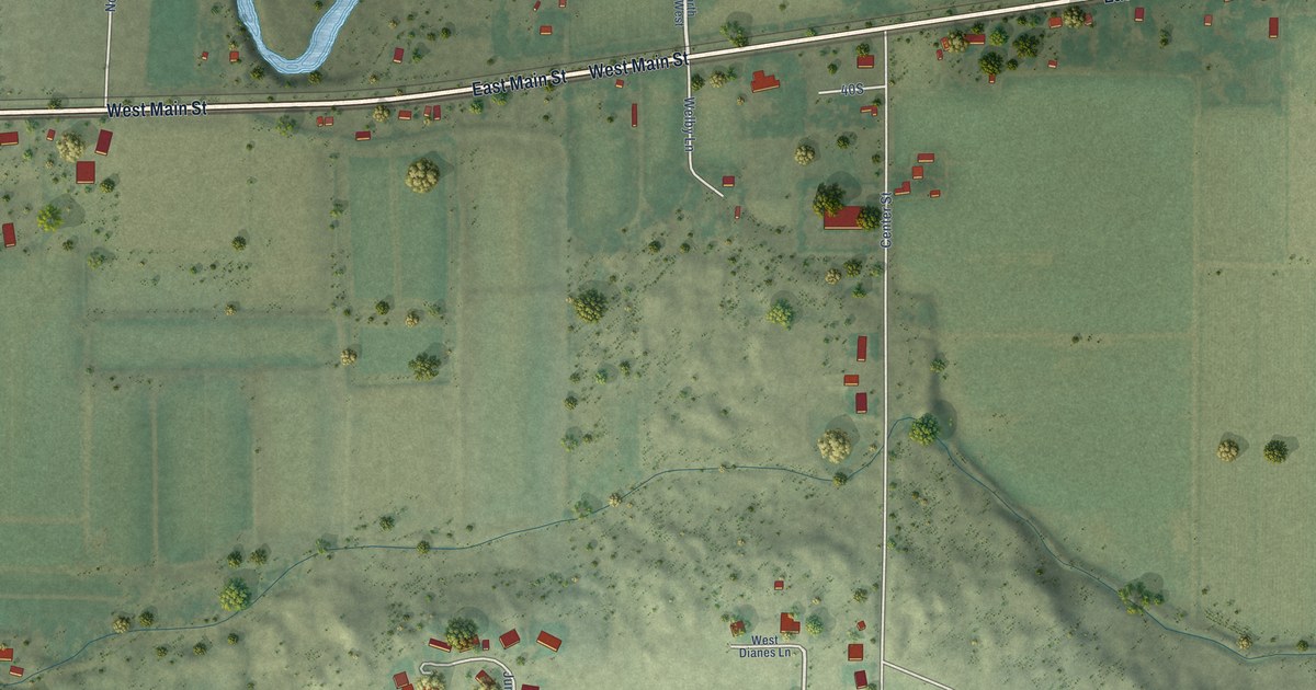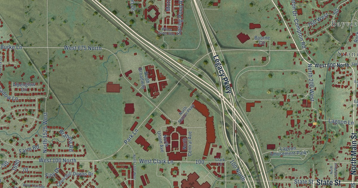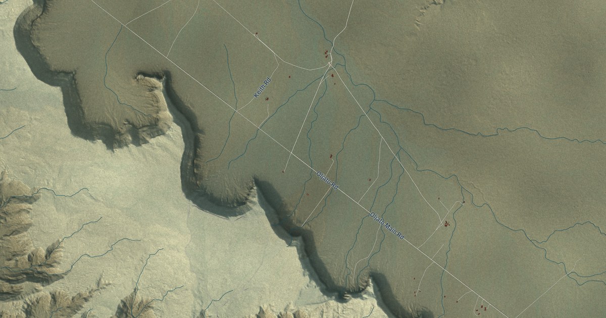
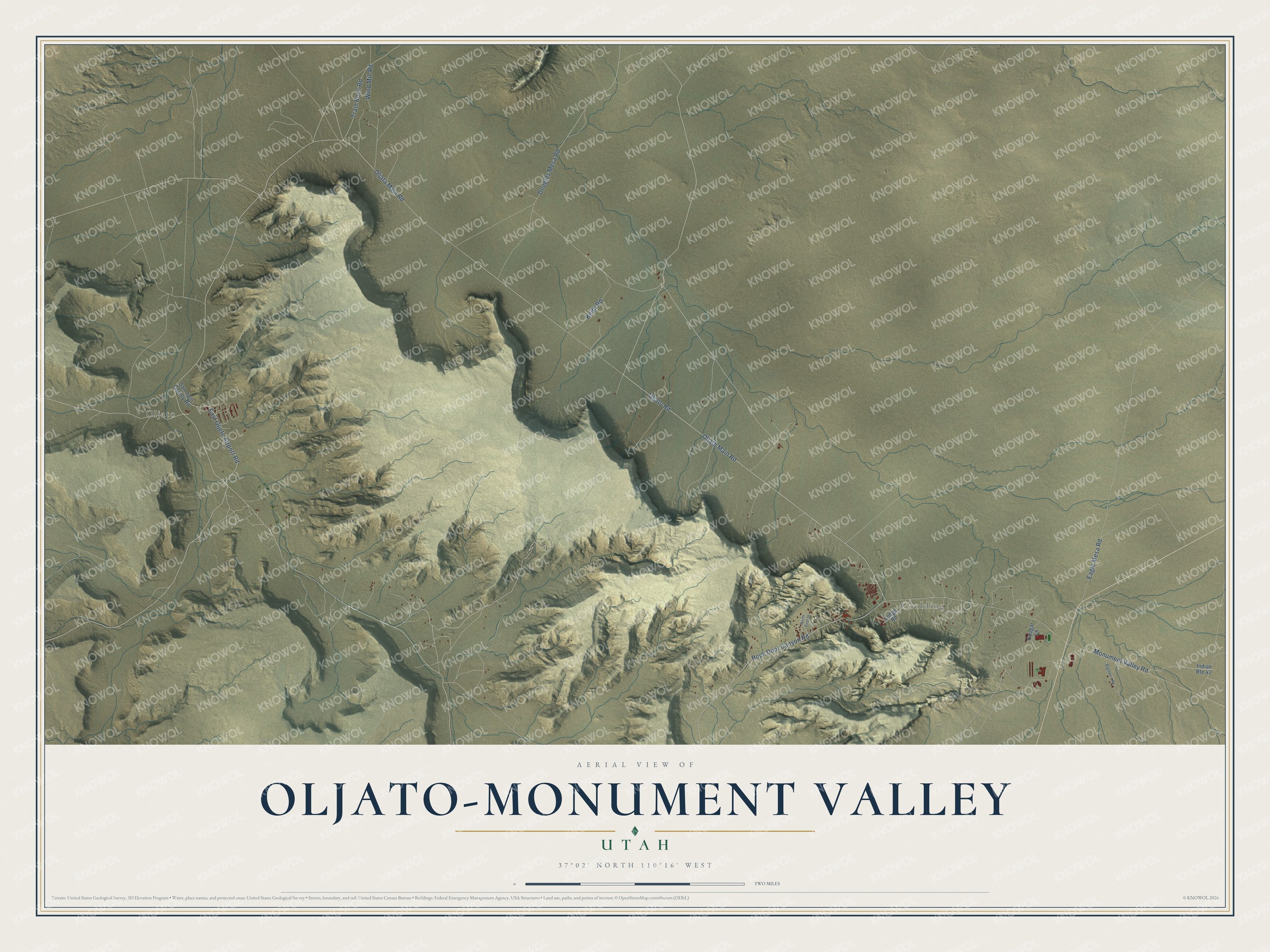
This beautifully detailed map of Oljato-Monument Valley, Utah was created in 2026 using aerial imagery combined with modern topographical, census, street and landmark data. It's a modern aerial view of Oljato-Monument Valley in San Juan County, Utah, that combines modern data with a vintage aesthetic. The roads feature printed names, and if you look closely you can find your exact house accurately shown in its correct location.
Explore an aerial view of Oljato-Monument Valley, Utah
On this map you'll find Goulding, Oljato, Oljato Main Road, Oljato Road, Oljata Main Road, Monument Valley Road, East Oljeto Airport Road, Rock Door Canyon Road, Eagle Mesa Road, Douglas Mesa Road, Train Rock Road, Keith Road, and more. Each red shape is a building, so zoom in on the preview and look for yours.
Here is a piece of Oljato-Monument Valley history. Oljato comes from the original Navajo name Oljeto, meaning moonlight water or moonlight spring. A trading post near the Arizona line, west of Goulding's, kept the Navajo name, and Moonlight Wash takes its English name from it. Monument Valley was named for its red sandstone mesas with sheer walls and its many tall red columns, the monuments. That's from the Five Hundred Utah Place Names book.
Oljato-Monument Valley is a community in San Juan County. The Census Bureau counted 682 people here in 2020.
Take a closer look at the Oljato-Monument Valley map
Names on this map
These names are printed on this map.
Places: Goulding and Oljato.
Streets and roads: Oljato Main Road, Oljato Road, Oljata Main Road, Monument Valley Road, East Oljeto Airport Road, Rock Door Canyon Road, Eagle Mesa Road, Douglas Mesa Road, Train Rock Road, Keith Road, Wind Mill Road, Indian Route 42.
More street names, A to Z
Bigman's Road, Cougar Lane, Lodge Road, North First Street, San Jusn County Road.
See it on a wall
The Oljato-Monument Valley map as a framed print. Swipe for more.


Created by KNOWOL in 2026. The buildings are small red shapes, the roads carry their printed names, and shaded relief shows the shape of the land. The title panel reads "AERIAL VIEW OF OLJATO-MONUMENT VALLEY, UTAH" with 37°02' NORTH 110°16' WEST.
It suits a den, a classroom or a front hall, and it makes a gift for anyone with Oljato-Monument Valley roots. Open the preview and find the block you know. See sizes and frames for the Oljato-Monument Valley map.