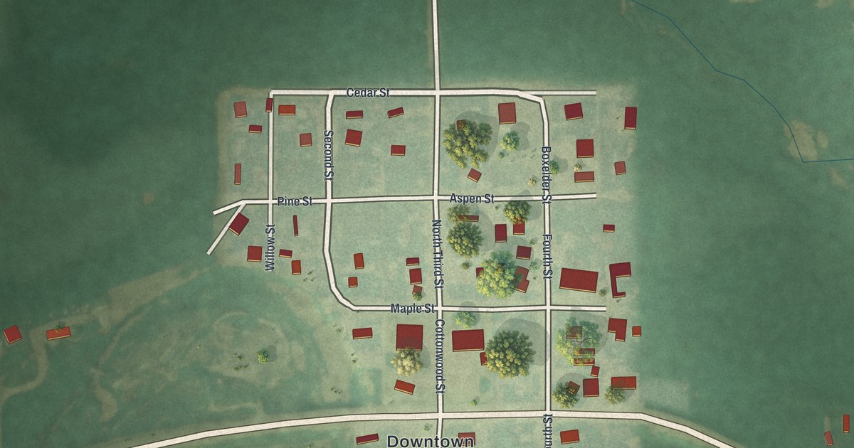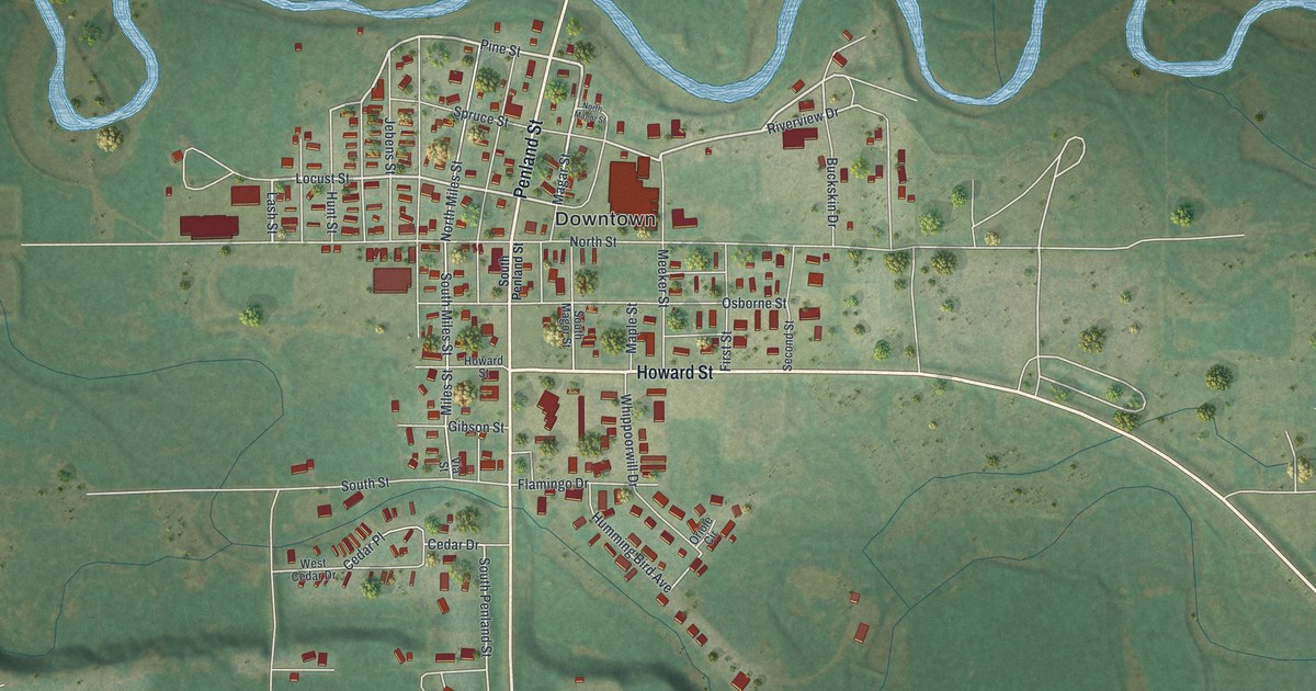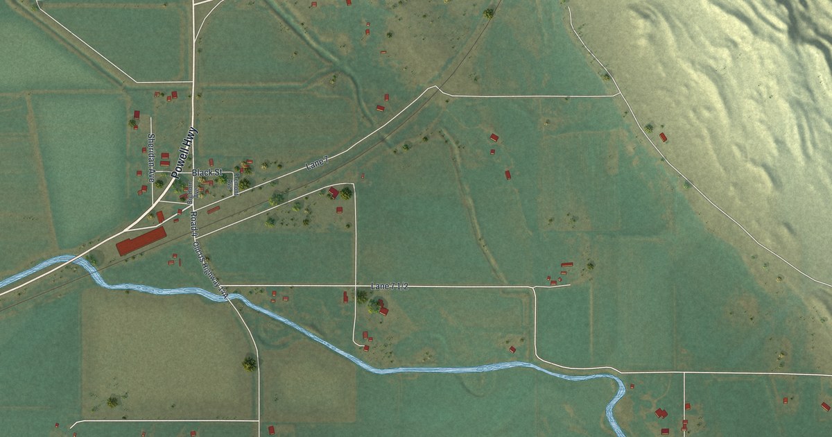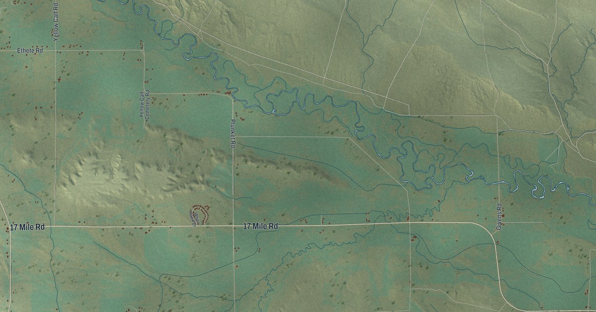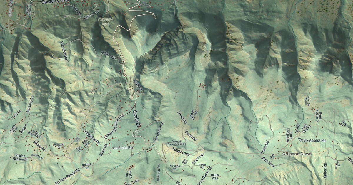
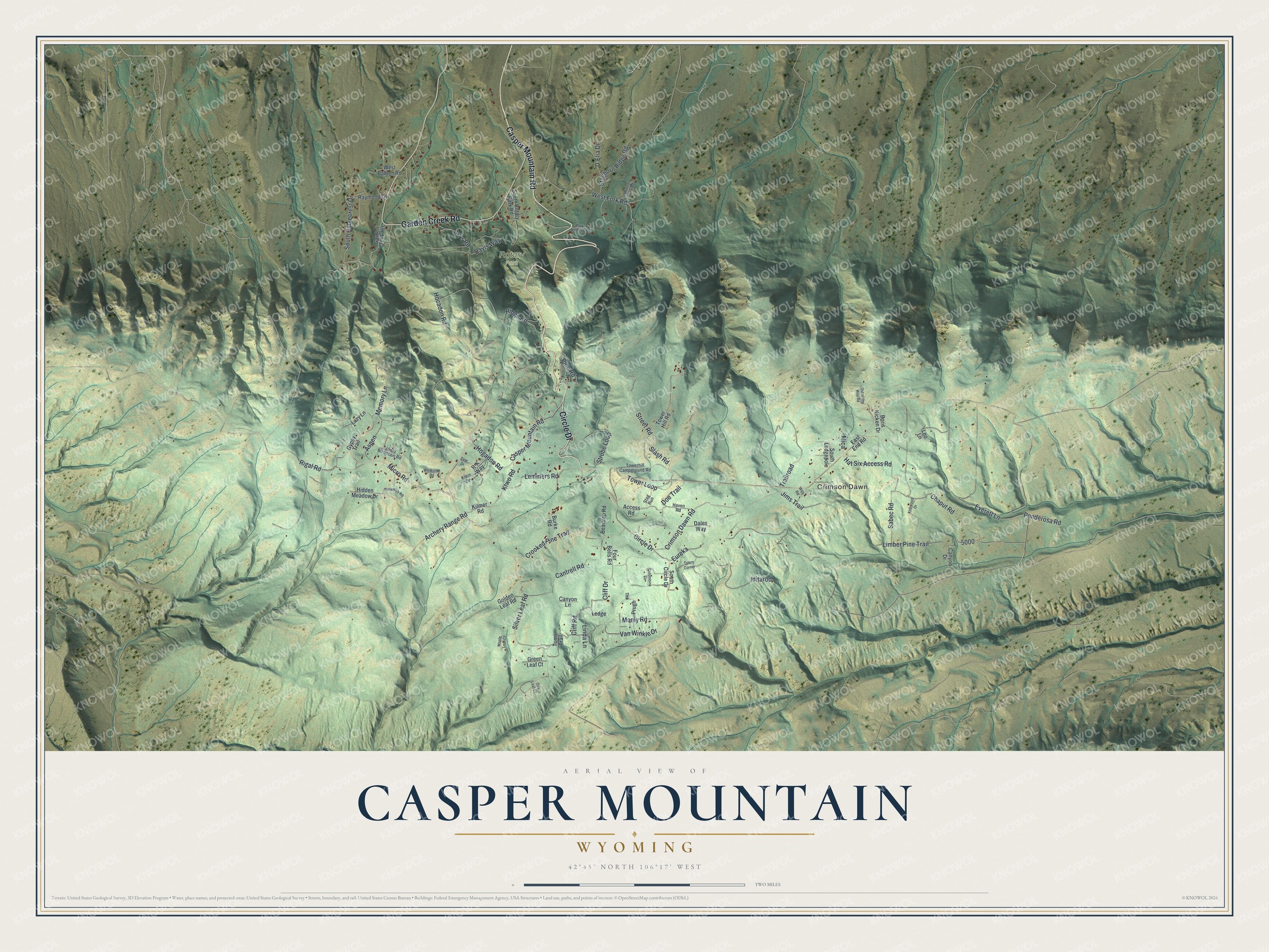
This beautifully detailed map of Casper Mountain, Wyoming was created in 2026 using aerial imagery combined with modern topographical, census, street and landmark data. It's a modern aerial view of Casper Mountain in Natrona County, Wyoming, that combines modern data with a vintage aesthetic. The roads feature printed names, and if you look closely you can find your exact house accurately shown in its correct location.
Explore an aerial view of Casper Mountain, Wyoming
On this map you'll find Crimson Dawn, Rotary Park, Casper Mountain Road, Garden Creek Road, Circle Drive, Hogadon Road, Ktwo Road, Ridge Road, Micro Road, Crimson Dawn Road, Archery Range Road, Ponderosa Road, and more. Each red shape is a building, so zoom in on the preview and look for yours.
Every town has a first chapter, and Casper Mountain is no exception. People have skied on Casper Mountain since the 1880s, when skis were a way to get around in winter. Early resident Davy Crockett, a grand-nephew of the famous scout, traveled between his mining claims on 7-foot Scandinavian skis that he steered with one long pole. In the 1930s the Civilian Conservation Corps cut the Bumps-a-Daisy trails and a ski jump near Beartrap, now a county park. That's from the WyoHistory online encyclopedia.
Casper Mountain is a community in Natrona County. The Census Bureau counted 545 people here in 2020.
Take a closer look at the Casper Mountain map
Names on this map
These names are printed on this map.
Places: Crimson Dawn and Rotary Park.
Streets and roads: Casper Mountain Road, Garden Creek Road, Circle Drive, Hogadon Road, Ktwo Road, Ridge Road, Micro Road, Crimson Dawn Road, Archery Range Road, Ponderosa Road, Tower Loop, Pine Road.
More street names, A to Z
Access Road, Art's Road, Aspen, Beartrap Road, Boris Kicken Drive, Burke Road, Cantrell Road, Canyon Drive, Canyon Lane, Chaput Road, Cliff Drive, Cliff Road, Columbine Circle, Crooked Pine Trail, D'Elia Drive, Dales Way, Davis Way, Dew Drive, Doe Trail, East End Road, Eureka, Everett Lane, Four Bells Road, Garden Creek Heights, Golden Leaf Road, Green Leaf Court, Gypsy Trail, Hardestys Road, Hat Six Access Road, Haven Road, Hidden Meadow Drive, Hocadon Road, Iditarod, Jims Trail, Kilmer Road, Kirkwood Drive, Klein Drive, Lazy Lane, Ledge, Lemmers Road, Leo Lane, Limber Pine Trail, Linda Lane, Manly Road, Maple Leaf Court, Mary Hester Road, Memory Lane, Mica, Misty Mountain Road, Oak Leaf Court, Out of the Way Road, Prugh, R-K Way, Raymond Lane, Rigal Road, Sabec Road, Silver Leaf Road, Slash Road, South Circle Drive, South Lodgepole, South Ridgecrest Drive, South Rotary Park Road, Staghorn Ridge Road, Stag Run, Street Road, Strube Loop, Thk, Toms Trail, Towerhill Campground Road, Tower Hill Road, Trailroad, Tylers Corner, Van Winkle Drive, West Balben Road, West Fork Road, Whitcomb Road, Whitetail Draw Road, Willy Road.
See it on a wall
The Casper Mountain map as a framed print. Swipe for more.


Created by KNOWOL in 2026. The buildings are small red shapes, the roads carry their printed names, and shaded relief shows the shape of the land. The title panel reads "AERIAL VIEW OF CASPER MOUNTAIN, WYOMING" with 42°45' NORTH 106°17' WEST.
Hang it in the hallway, the office or the cabin, or give it to someone who left Casper Mountain and still calls it home. Open the preview and look for a street you know. See sizes and frames for the Casper Mountain map.