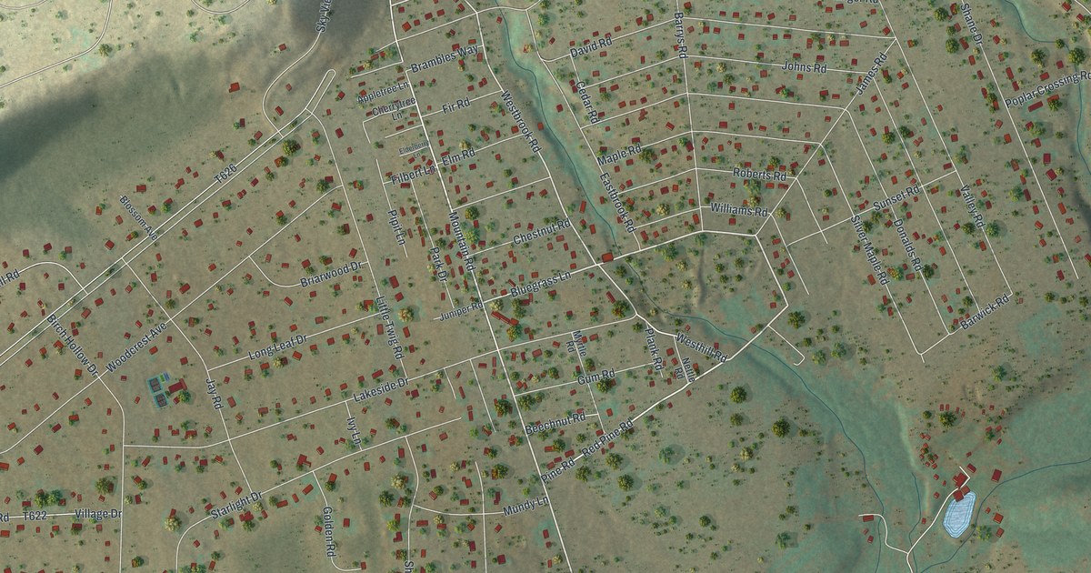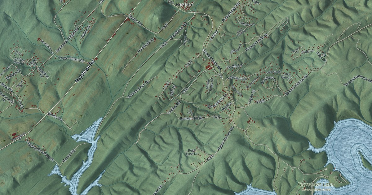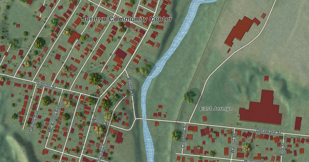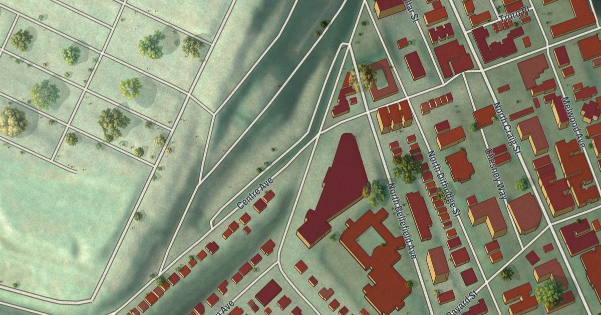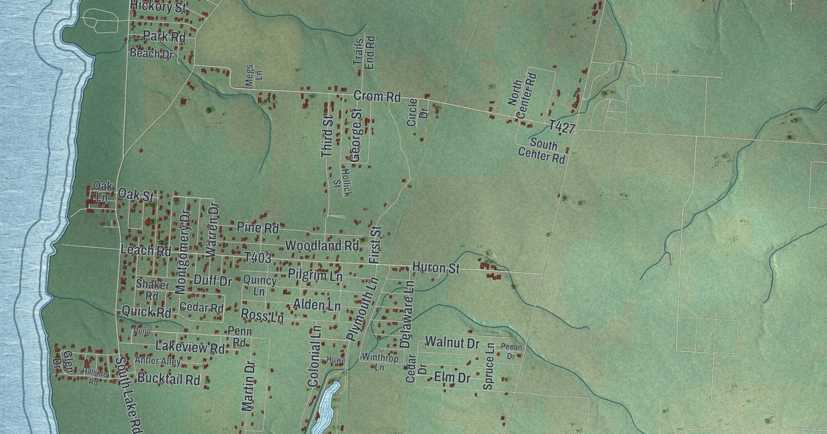
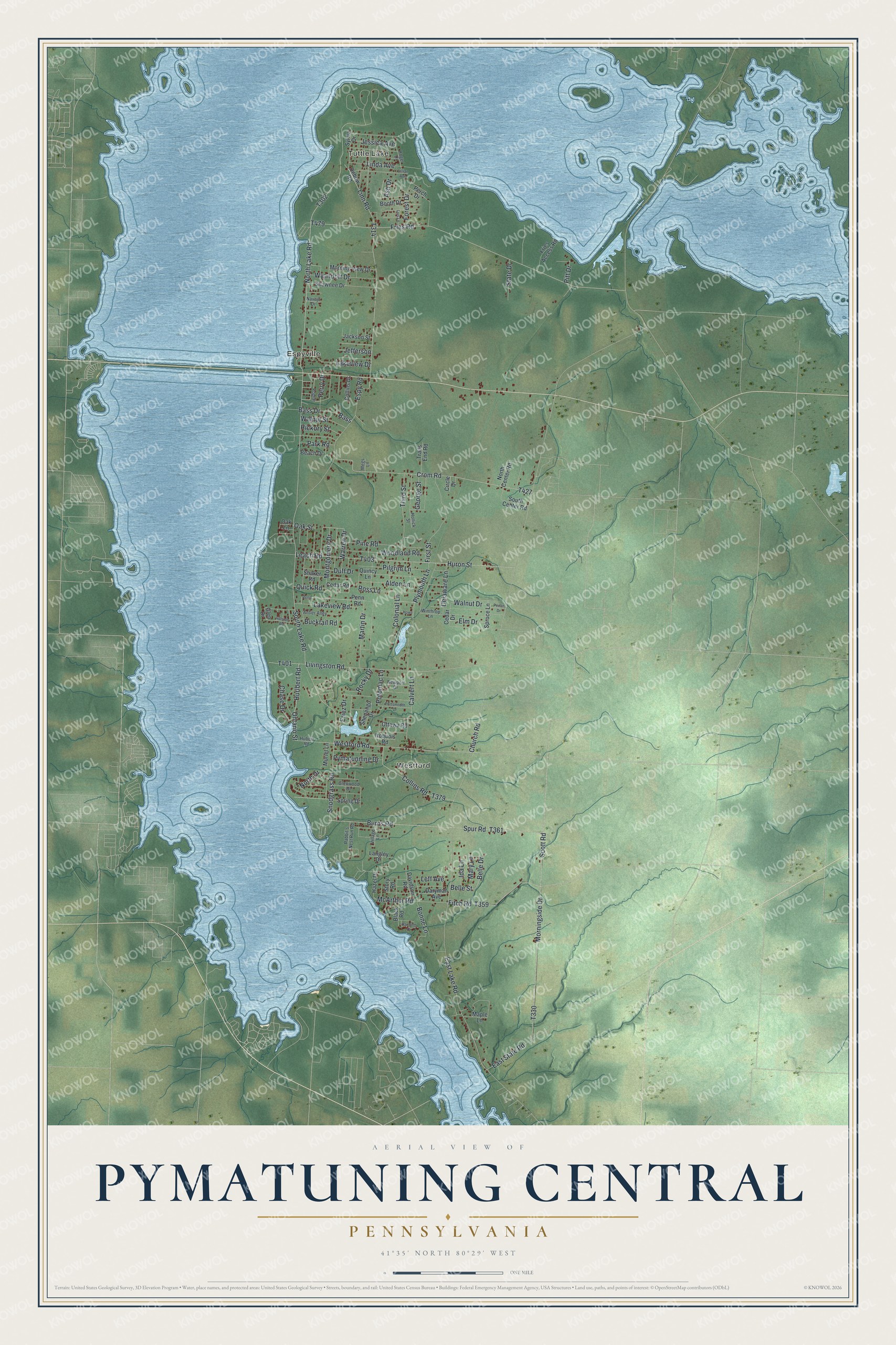
This beautifully detailed map of Pymatuning Central, Pennsylvania was created in 2026 using aerial imagery combined with modern topographical, census, street and landmark data. It's a modern aerial view of Pymatuning Central in Crawford County, Pennsylvania, that combines modern data with a vintage aesthetic. The roads feature printed names, and if you look closely you can find your exact house accurately shown in its correct location.
Explore an aerial view of Pymatuning Central, Pennsylvania
On this map you'll find Tuttle Lake, Espyville, Westford, South Lake Road, North Lake Road, Hurlbert Road, T302, Livingston Road, Snodgrass Road, North Drive, Linn Road, Belle Drive, and more. Each red shape is a building, so zoom in on the preview and look for yours.
Every town has a first chapter, and Pymatuning Central is no exception. Espyville took its name from George Espy, who came from Bedford County about 1802, settled there, and ran a saw and grist mill and a distillery. John Espy laid out the village about 1833. That's from the Crawford County history.
Pymatuning Central is a community in Crawford County. The Census Bureau counted 2,054 people here in 2020.
Take a closer look at the Pymatuning Central map
Names on this map
These names are printed on this map.
Places: Tuttle Lake, Espyville and Westford.
Streets and roads: South Lake Road, North Lake Road, Hurlbert Road, Livingston Road, Snodgrass Road, North Drive, Linn Road, Belle Drive, Bucktail Road, Church Road, East Lake Road, Fries Road.
More street names, A to Z
Alden Lane, Antler Alley, Ash Drive, Bass, Bass Drive, Beach Drive, Belle Street, Black Road, Bonne Lane, Booth Drive, Burns Road, Calvert Lane, Cedar Drive, Cedar Road, Chase Drive, Circle Drive, Collins Drive, Collins Road, Colonial Lane, Crom Road, Daryman Avenue, Davidson Road, Debow Road, Delaware Lane, Duff Drive, East State Road, Elm Drive, Eriez Drive, Espy Road, First Street, Fitch Road, Forest Drive, Fries Access Road, George Street, Glen Drive, Glenwood Drive, Hazel Drive, Hickory Street, Hillside Road, Hollick Street, Howe, Hubert Road, Huron Street, Ida Lane, Iroquois Road, Jackson Street, Jefferson, Jessica Avenue, Lakeview Drive, Lakeview Road, Langley Drive, Leach Road, Leff Avenue, Lillian Avenue, Linda Avenue, Lois Lane, Maple Lane, Martin Drive, Mary Lane, McArthur Road, Megs Lane, Montgomery Drive, Morningside Drive, Morning View Drive, Muriel Lane, Navajo Drive, Newport Drive, North Center Road, Oak Lane, Oak Street, Ontario Street, Ottawa Road, Park Road, Pecan Drive, Penn, Penn Road, Perch Drive, Perry Drive, Pilgrim Lane, Pine Road, Pitt Drive, Plymouth Lane, Poplar, Portsmouth Drive, Potomac Lane, Pymatunning Drive, Quick Road, Quincy Lane, Rabbit's Nest Run Road, Random Drive, Rocky Drive, Roger Drive, Ross Lane, Scott Road, Shaker Road, Shawnee Drive, Shenango Drive, South Center Road, Spring Drive, Spruce Lane, Spur Road, State Drive, Story Road, Sylvia Drive, Third Street, Trails End Road, Village Lane, Walnut Drive, Walnut Street, Warren Drive, Westford Road, Winthrop Lane, Woodland Road, Wyandott Drive.
See it on a wall
The Pymatuning Central map as a framed print. Swipe for more.


Created by KNOWOL in 2026. The buildings are small red shapes, the roads carry their printed names, and shaded relief shows the shape of the land. The title panel reads "AERIAL VIEW OF PYMATUNING CENTRAL, PENNSYLVANIA" with 41°35' NORTH 80°29' WEST.
Hang it in the hallway, the office or the cabin, or give it to someone who left Pymatuning Central and still calls it home. Open the preview and look for a street you know. See sizes and frames for the Pymatuning Central map.