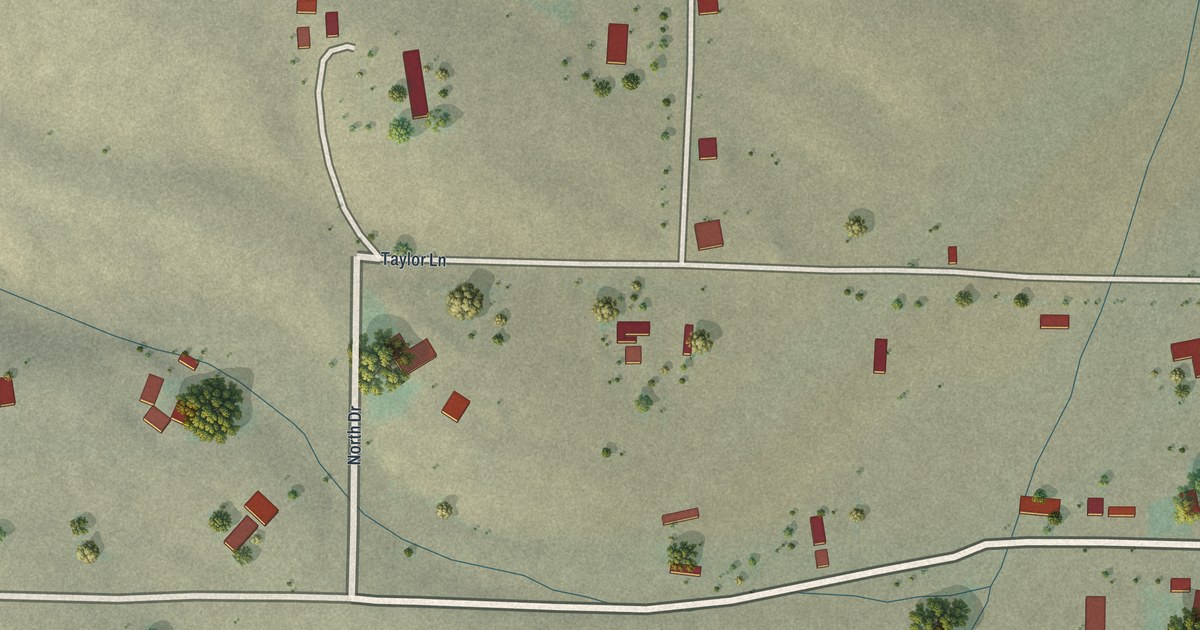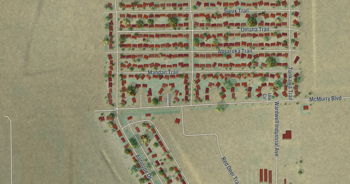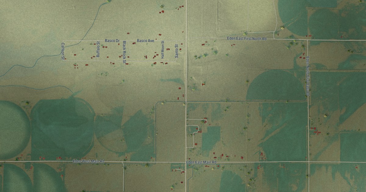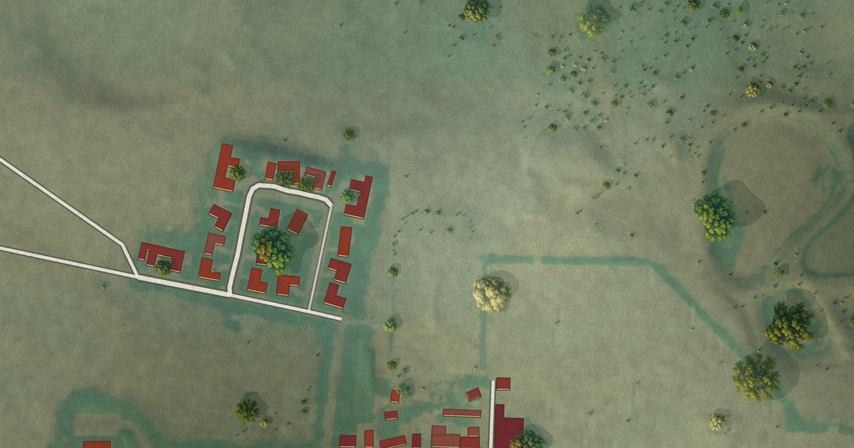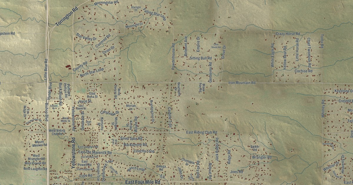
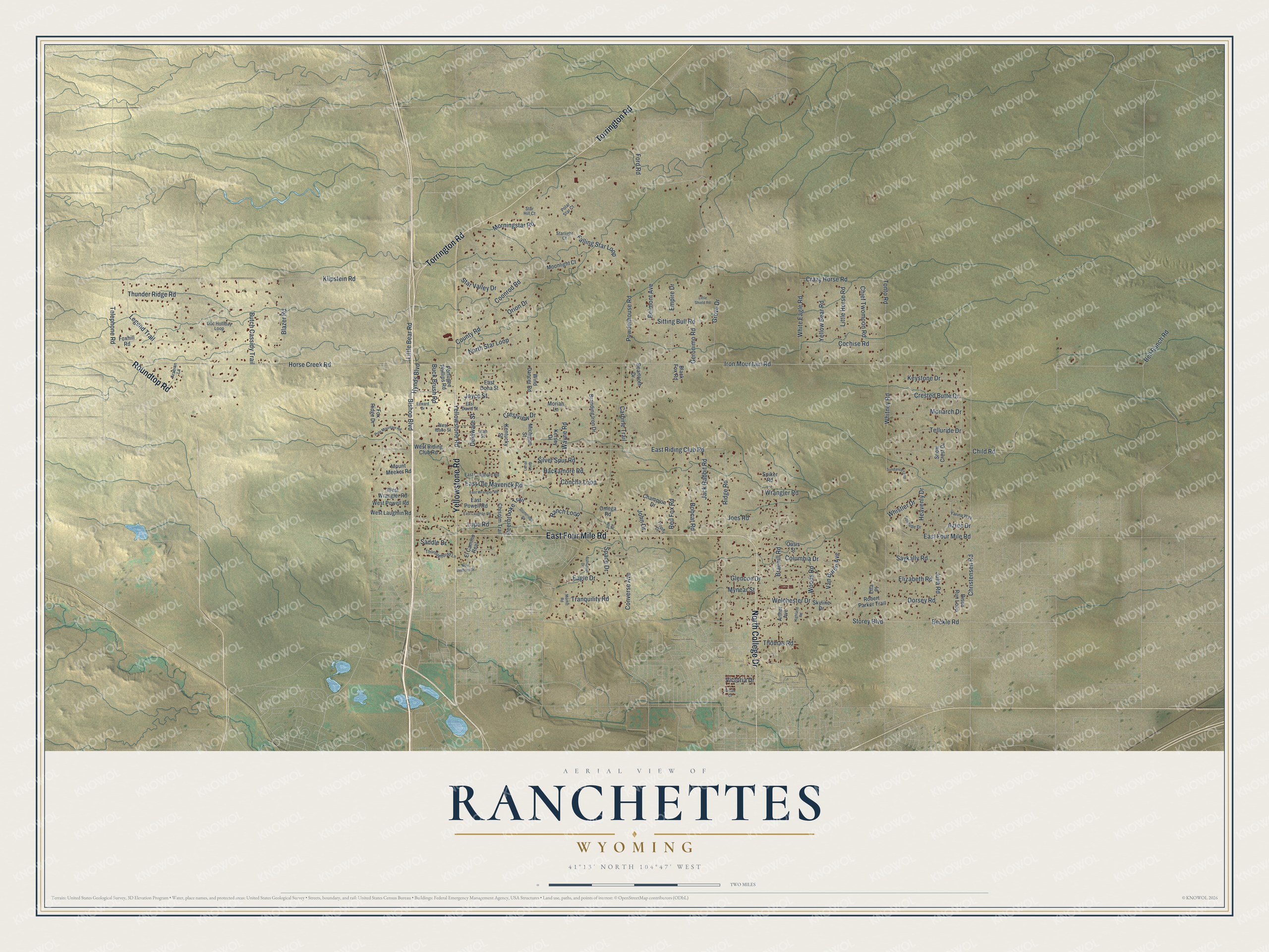
This beautifully detailed map of Ranchettes, Wyoming was created in 2026 using aerial imagery combined with modern topographical, census, street and landmark data. It's a modern aerial view of Ranchettes in Laramie County, Wyoming, that combines modern data with a vintage aesthetic. The roads feature printed names, and if you look closely you can find your exact house accurately shown in its correct location.
Explore an aerial view of Ranchettes, Wyoming
On this map you'll find Yellowstone Road, East Four Mile Road, Torrington Road, North College Drive, Roundtop Road, Iron Mountain Road, East Riding Club Road, Storey Boulevard, Christensen Road, Child Road, Buck Brush Road, Dorsey Road, and more. Each red shape is a building, so zoom in on the preview and look for yours.
Ranchettes is a community in Laramie County. The Census Bureau counted 6,199 people here in 2020. Ranchettes sits about 6 miles north of Cheyenne, 7 miles northeast of Warren AFB and 8 miles north of Fox Farm-College. The map prints the town name in its title panel, with the coordinates below it.
Take a closer look at the Ranchettes map
Names on this map
These names are printed on this map.
Streets and roads: Yellowstone Road, East Four Mile Road, Torrington Road, North College Drive, Roundtop Road, Iron Mountain Road, East Riding Club Road, Storey Boulevard, Christensen Road, Child Road, Buck Brush Road, Dorsey Road.
More street names, A to Z
Arabian Lane, Arthur Avenue, Astronaut Drive, Aztec Drive, Beartooth Drive, Beckle Road, Bell Ranch Road, Belmont Avenue, Bishop Boulevard, Bison Run Loop, Black Fox Road, Blazer Road, Bobcat Road, Braehill Road, Branding Iron Drive, Butch Cassidy Trail, Carbine Trail, Champion Drive, Chief Twomoon Road, Chisolm Trail, Cochise Road, Columbia Drive, Concha Loop, Converse Avenue, Coonrod Road, County Road, Crazy Horse Road, Crested Butte Drive, Crestview Drive, Deerbrooke Trail, Delaware Street, Doc Holliday Loop, Eagle Drive, East David Street, East Dona Street, East Laughlin Road, East Longhorn Road, East Ole Maverick Road, East Powell Road, East Wrangler Road, Edward Drive, El Camino Real, Elizabeth Road, Empire Drive, Etta Place, Falling Star Loop, Ford Road, Foxhill Road, Fox Ridge Drive, Geronimo Road, Glencoe Drive, Green Court, Grove Drive, Hackamore Road, Heavenly Drive, Highland Road, Horse Creek Road, Hynds Boulevard, Jack Rabbit Road, Jim Court, Joes Road, John Drive, Joyce Street, Julia Road, Kentucky Street, Kersey Drive, Keystone Drive, Klipstein Road, Lariat Loop, Legend Trail, Little Bear Road, Little Horse Road, Little Shield Road, Lupe Road, Merritt Road, Michigan Street, Monarch Drive, Moonlight Court, Moriah Lane, Morningstar Road, Mount Meeker Road, Mynear Street, New Bedford Drive, North Star Loop, Oasis Street, Omega Road, Orion Drive, Polar Star Court, Pole Mountain Road, Portugee Phillips Road, Powderhouse Road, Ranch Loop, Red Fox Road, Ridge Road, Robert Parker Trail, Saddle Drive, Saykally Road, Silver Spur Road, Sitting Bull Road, Skyline Drive, Snow Crest Drive, Solitude Drive, Space Drive, Spiker Road, Star Hill Court, Starlight Court, Star Valley Drive, Stoneridge Drive, Sundance Loop, Telephone Road, Telluride Drive, Thomas Road, Thoroughbred Lane, Thunder Ridge Road, Tonto Road, Tranquility Road, Trophy Drive, Utah Street, Van Buren Avenue, Victoria Drive, Wayne Road, Welchester Drive, West Idaho Street, West Laughlin Road, West Powell Road, West Riding Club Road, West Wrangler Road, Whistler Drive, White Eagle Road, Whitney Road, Wind Dancer Road, Woods Road, Wrangler Road, Yarina Way, Yellow Bear Road.
See it on a wall
The Ranchettes map as a framed print. Swipe for more.


Created by KNOWOL in 2026. The buildings are small red shapes, the roads carry their printed names, and shaded relief shows the shape of the land. The title panel reads "AERIAL VIEW OF RANCHETTES, WYOMING" with 41°13' NORTH 104°47' WEST.
Hang it in the hallway, the office or the cabin, or give it to someone who left Ranchettes and still calls it home. Open the preview and look for a street you know. See sizes and frames for the Ranchettes map.