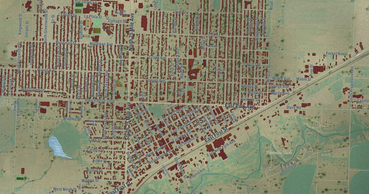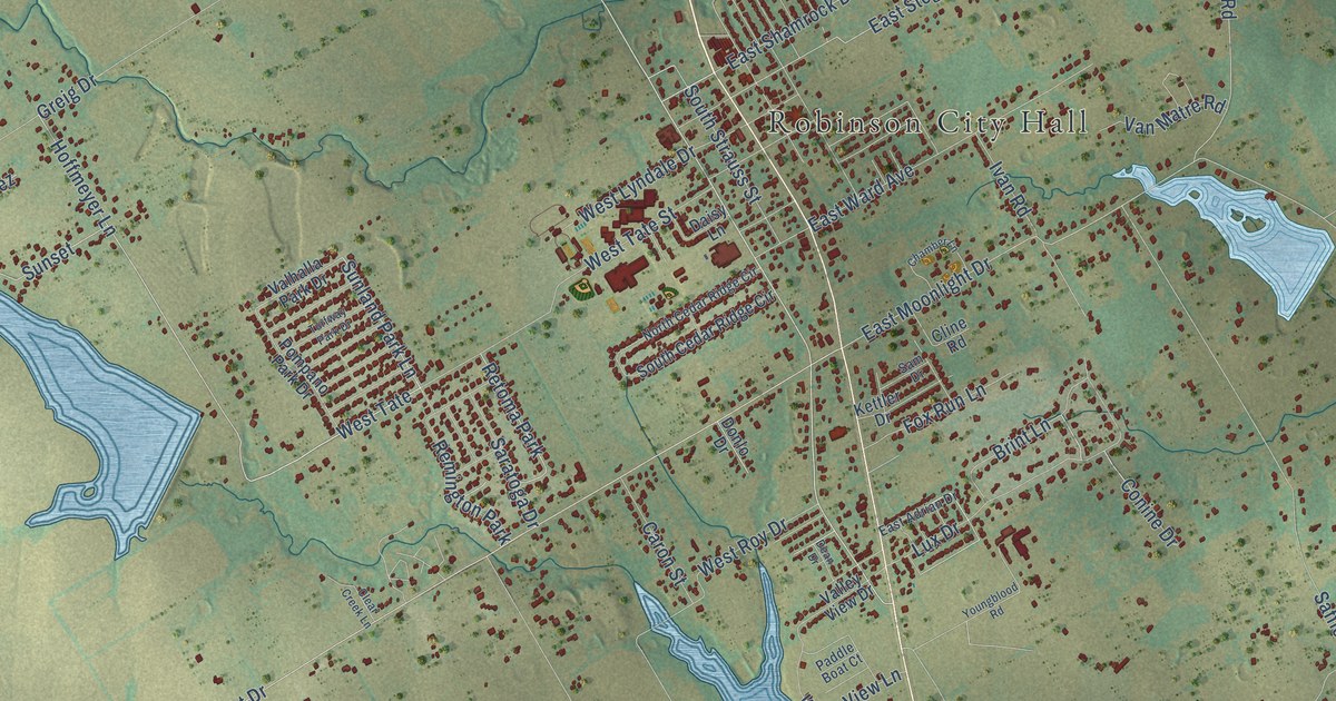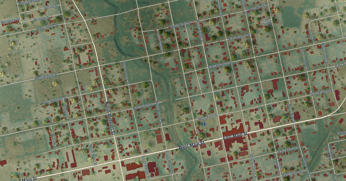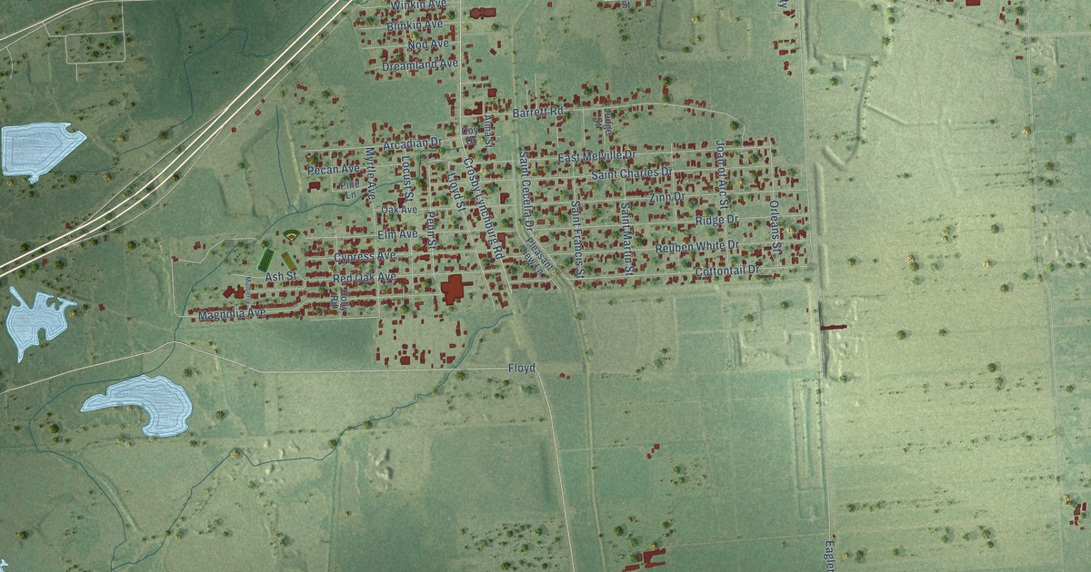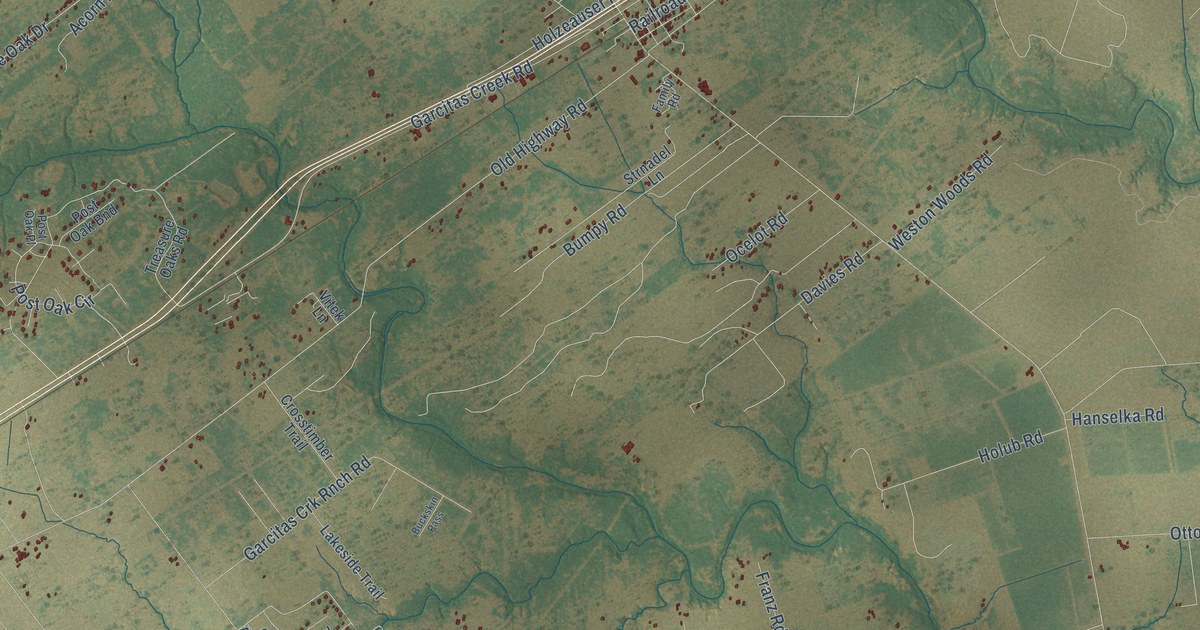
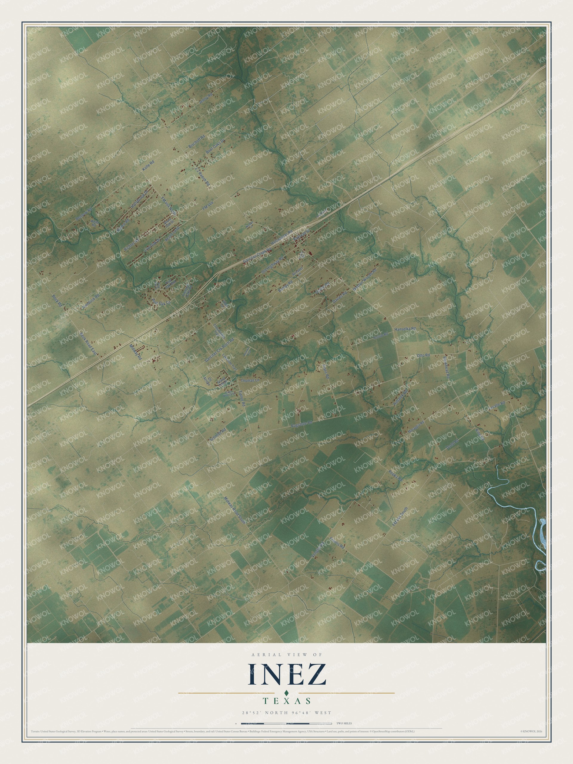
This beautifully detailed map of Inez, Texas was created in 2026 using aerial imagery combined with modern topographical, census, street and landmark data. It’s a one-of-a-kind view of Inez that combines accurate data with a vintage aesthetic. The map shows every building in its true location, many of the roads carry their names, and the shaded topographic relief shows the shape of the land.
Explore an aerial view of Inez, Texas
On the map you’ll find Lasalle Road, FM 444 North, Acorn Loop, Benbow Road, FM 444 South, Midway Road South, Ragsdale Road, Old Highway Road, FM 444, Tipton Road, Venglar Road, Beck Road, and more. If you look closely you can even find your house accurately drawn in its correct location. Zoom in on the preview to look for yours.
Did You Know?
The townsite was first called Arenosa, after the nearby creek. In 1882 the New York, Texas and Mexican Railway opened a station at the site and renamed it Inez, for the daughter of Count Joseph Telfener, the railroad's president and builder. Rancher Henry Clay Koontz, who had kept a store on Arenosa Creek, bought the Inez townsite two years later and moved there. That's from the Handbook of Texas.
Take a closer look at the Inez map
Names on this map
These names are printed on this map.
Streets and roads: Lasalle Road, FM 444 North, Acorn Loop, Benbow Road, FM 444 South, Midway Road South, Ragsdale Road, Old Highway Road, FM 444, Tipton Road, Venglar Road, Beck Road.
More street names, A to Z
Bankhead Road, Beck Road East, Bent Oaks Drive, Bischoff Road, Buckskin Pass, Bumpy Road, Casa Blanca Drive, Cll Arroyo, Crosstimber Trail, Davies Road, Dodd Road, Family Road, Frantis Road, Franz Road, Garcitas Creek Road, Garcitas Crk Rnch Road, Grand Oak Drive, Hanselka Road, Hollybrook Drive, Holub Road, Holzeauser Road, Holzheauser Lane, Hubalek Road, J-2 Ranch Road, Jentry Road, Kendrick Road, King Road, Kolle Road, Lakeside Trail, Live Oak Drive, Maraggia Road, Midway Road, Nelson Lane, Ocelot Road, Otto Road, Post Oak Bnd, Post Oak Circle, Post Oak Place, Railroad Street, Repka Road, Richter Road, Rodeo Road, Schmidt Road, Stone Oak Drive, Strnadel Lane, Thomas Lane, Treasure Oaks Road, Vitek Lane, Weitz Road, Weston Woods Road.
See it on a wall
The Inez map as a framed print. Swipe for more.


This beautifully detailed map of Inez makes an attractive addition to your office, library, or den, and it can even be used to teach children the geography and history of the area. It also makes a great gift for anyone who grew up in Inez or moved away. When you’re done exploring, click here to get your copy of the Inez map.