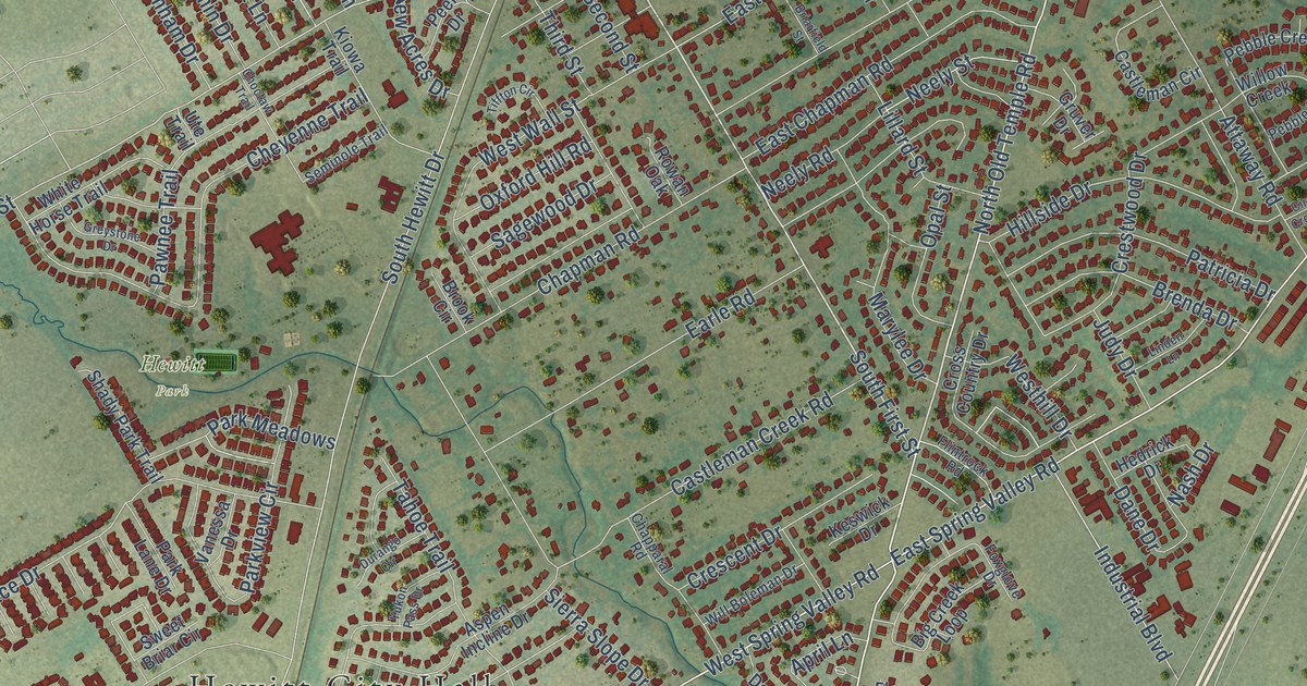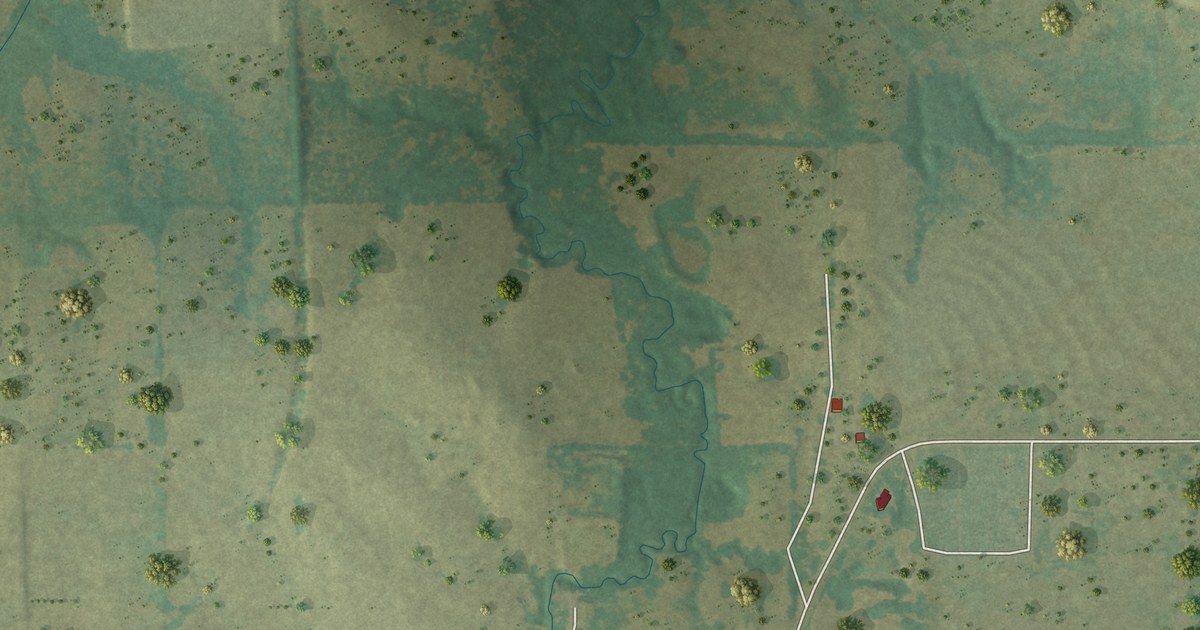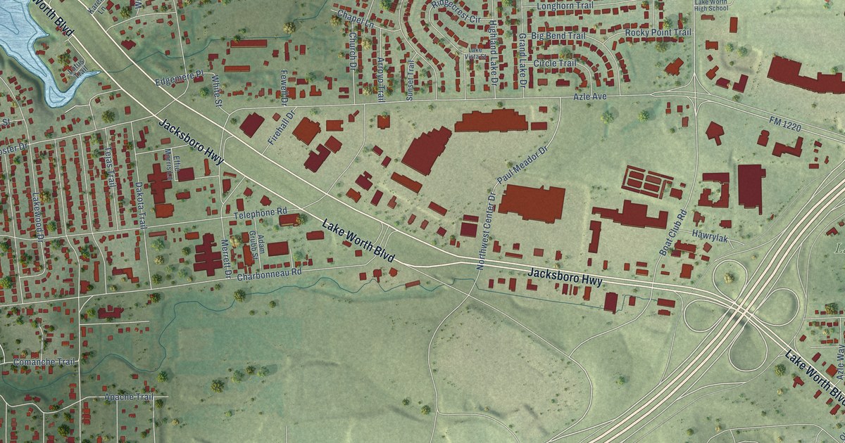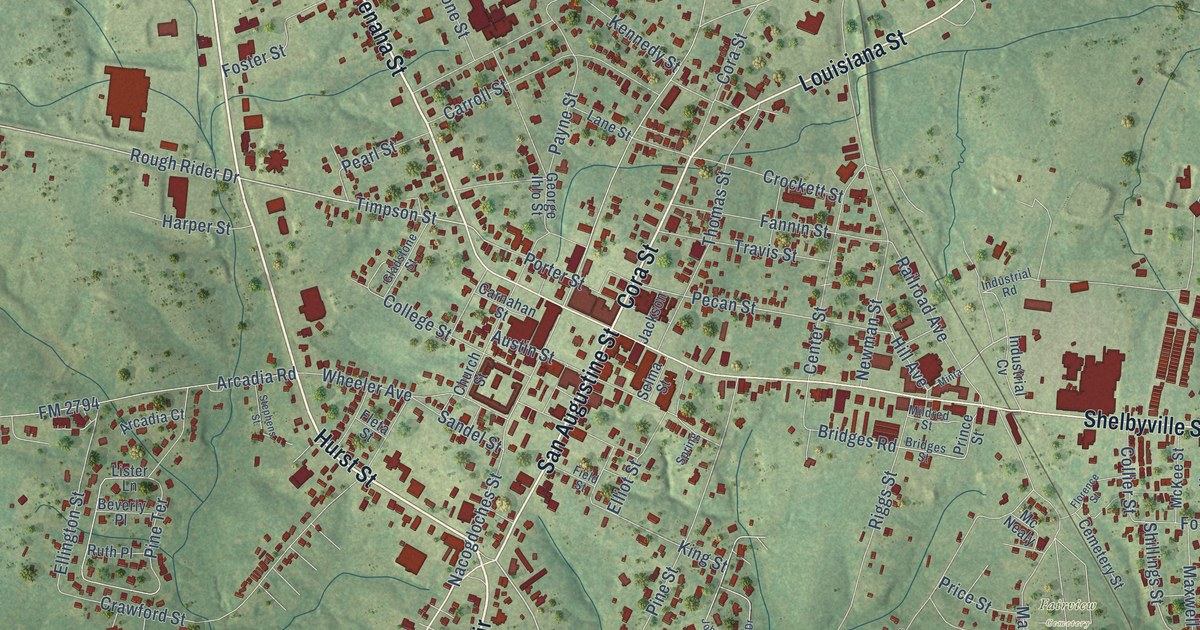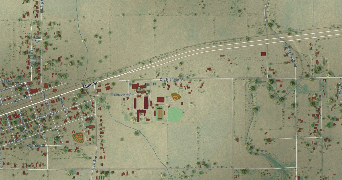
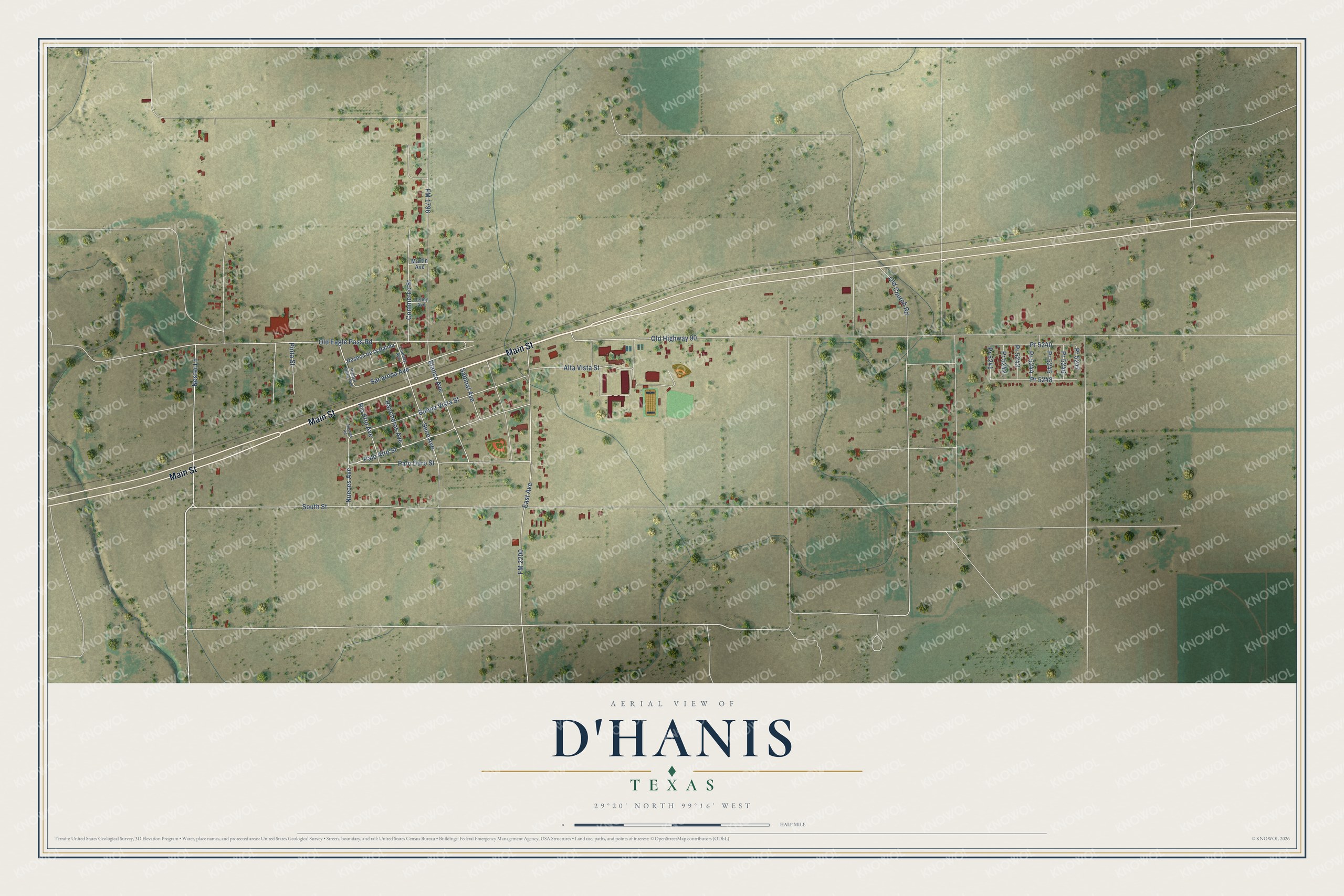
This beautifully detailed map of D'Hanis, Texas was created in 2026 using aerial imagery combined with modern topographical, census, street and landmark data. It's a modern aerial view of D'Hanis in Medina County, Texas, that combines modern data with a vintage aesthetic. The roads feature printed names, and if you look closely you can find your exact house accurately shown in its correct location.
Explore an aerial view of D'Hanis, Texas
On this map you'll find Main Street, Nester Lane, FM 2200, Pr 5248, Old Eagle Pass Road, South Street, FM 1796, Buena Vista Street, Palo Alto Street, East Avenue, Palo Duro Street, Old Highway 90, and more. Each red shape is a building, so zoom in on the preview and look for yours.
Here is a piece of D'Hanis history. D'Hanis began in the spring of 1847, when twenty-nine Alsatian families settled on the frontier for Henri Castro. Castro named the village for William D'Hanis, his company's manager in Antwerp. When the railroad passed the first village by in 1881, its post office, stores and people moved to the depot site that became today's D'Hanis. That's from the Handbook of Texas.
D'Hanis is a community in Medina County. The Census Bureau counted 785 people here in 2020.
Take a closer look at the D'Hanis map
Names on this map
These names are printed on this map.
Streets and roads: Main Street, Nester Lane, FM 2200, Pr 5248, Old Eagle Pass Road, South Street, FM 1796, Buena Vista Street, Palo Alto Street, East Avenue, Palo Duro Street, Old Highway 90.
More street names, A to Z
Alta Vista Street, Blanco Avenue, Commerce Street, Lindsay Avenue, Martin Avenue, Nueces Avenue, Nueces Road, Old Church Road, Piedra Pinta Avenue, Pinta Street, Pr 5240, Pr 5241, Pr 5242, Pr 5243, Pr 5244, Pr 5245, Pr 5246, Pr 5247, Rancheros Avenue, Reiley Avenue, Reseca de la Palma, Rio Frio Avenue, Sabinal Avenue, Sacarosa Avenue, Seco Avenue.
See it on a wall
The D'Hanis map as a framed print. Swipe for more.


Created by KNOWOL in 2026. The buildings are small red shapes, the roads carry their printed names, and shaded relief shows the shape of the land. The title panel reads "AERIAL VIEW OF D'HANIS, TEXAS" with 29°20' NORTH 99°16' WEST.
It suits a den, a classroom or a front hall, and it makes a gift for anyone with D'Hanis roots. Open the preview and find the block you know. See sizes and frames for the D’Hanis map.