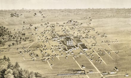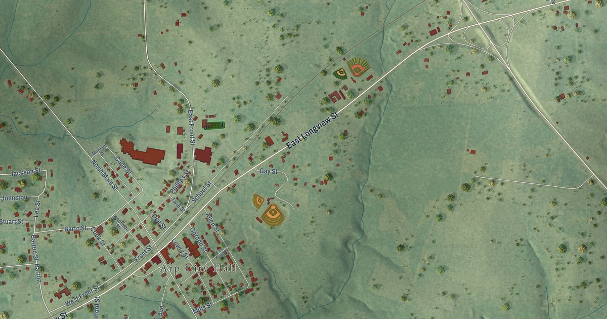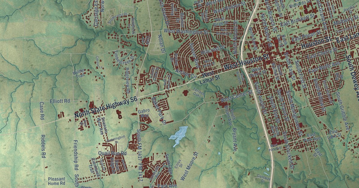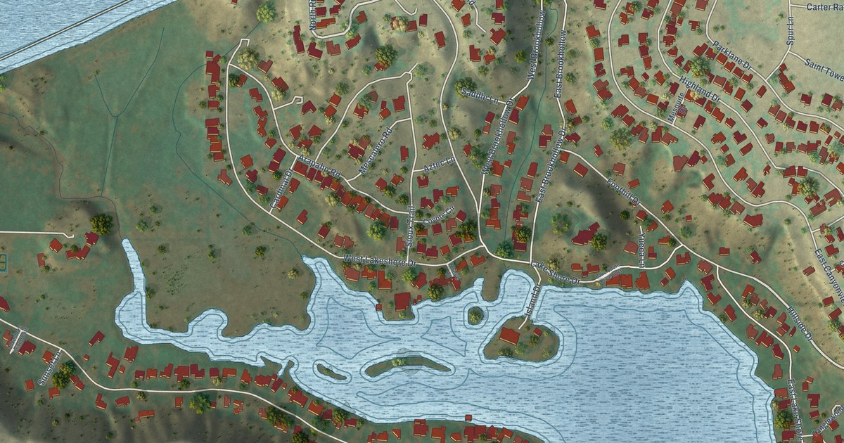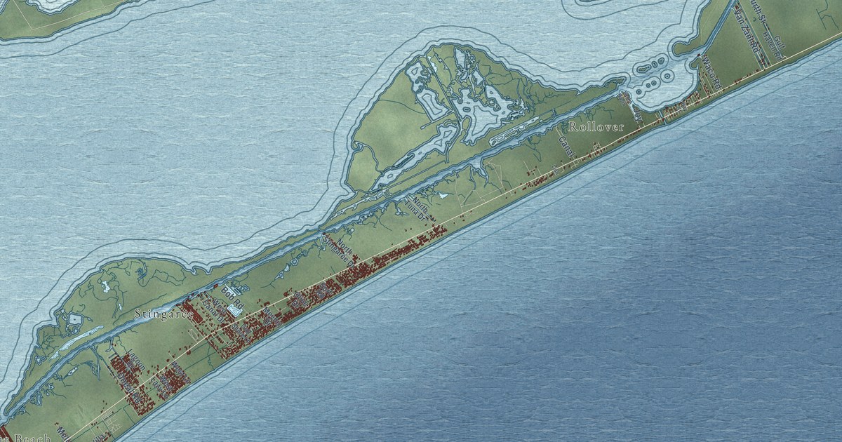
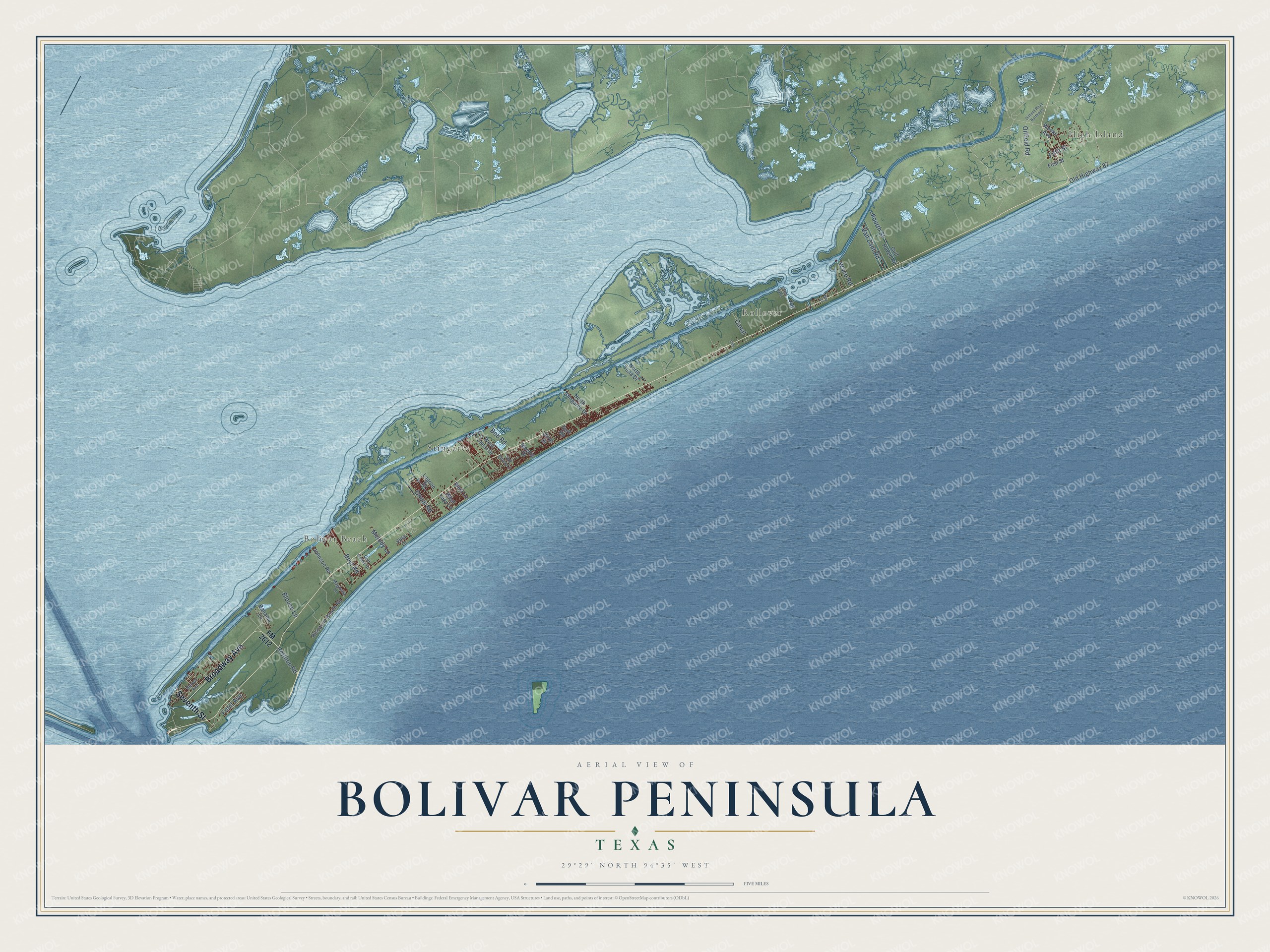
This beautifully detailed map of Bolivar Peninsula, Texas was created in 2026 using aerial imagery combined with modern topographical, census, street and landmark data. It's a modern aerial view of Bolivar Peninsula in Galveston County, Texas, that combines modern data with a vintage aesthetic. The roads feature printed names, and if you look closely you can find your exact house accurately shown in its correct location.
Explore an aerial view of Bolivar Peninsula, Texas
On this map you'll find High Island, Bolivar Beach, Rollover, Stingaree, Seventh Street, Broadway Avenue, Oilfield Road, Boyt Road, Fourth Street, Van Zant Road, Fifth Street, Oneal Road, and more. Each red shape is a building, so zoom in on the preview and look for yours.
Every town has a first chapter, and Bolivar Peninsula is no exception. The privateer Louis-Michel de Aury is credited with naming Bolivar Point for the South American liberator Simon Bolivar. At Fort Las Casas on the point, Jane Long gave birth to her daughter, Mary James, in December 1821. During the storms of 1900 and 1915, many area residents sheltered inside the lighthouse on the point. That's from the Texas Historical Commission.
Bolivar Peninsula is a community in Galveston County. The Census Bureau counted 2,769 people here in 2020.
Take a closer look at the Bolivar Peninsula map
Names on this map
These names are printed on this map.
Places: High Island, Bolivar Beach, Rollover and Stingaree.
Streets and roads: Seventh Street, Broadway Avenue, Oilfield Road, Boyt Road, Fourth Street, Van Zant Road, Fifth Street, Oneal Road, Old Highway 87, Blouse Lane, Rettilon Road, Melody Lane.
More street names, A to Z
Bahama Lane, Bay Street, Biscayne Beach Road, Bob Road, Canal, First Street, FM 2612, Front Avenue, Gulf Coast Drive, Gulf Haven Road, Gulf Shore Lane, Johnson Road, Joy, Lagoon Drive, Linn, Magnolia Lane, Meynig Drive, Nelson Avenue, North Stingaree Drive, North Tuna Drive, Oilfield Road Northwest, Olive Drive, Surf Road, Villa Drive, Waco Road, Weeks Avenue, West Canal Drive, West Lane, West Lazy Lane, Yacht Basin.
See it on a wall
The Bolivar Peninsula map as a framed print. Swipe for more.


Created by KNOWOL in 2026. The buildings are small red shapes, the roads carry their printed names, and shaded relief shows the shape of the land. The title panel reads "AERIAL VIEW OF BOLIVAR PENINSULA, TEXAS" with 29°29' NORTH 94°35' WEST.
Hang it in the hallway, the office or the cabin, or give it to someone who left Bolivar Peninsula and still calls it home. Open the preview and look for a street you know. See sizes and frames for the Bolivar Peninsula map.