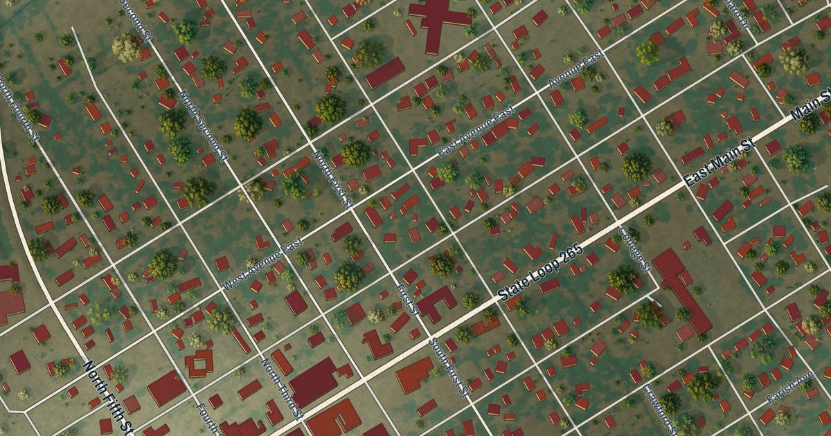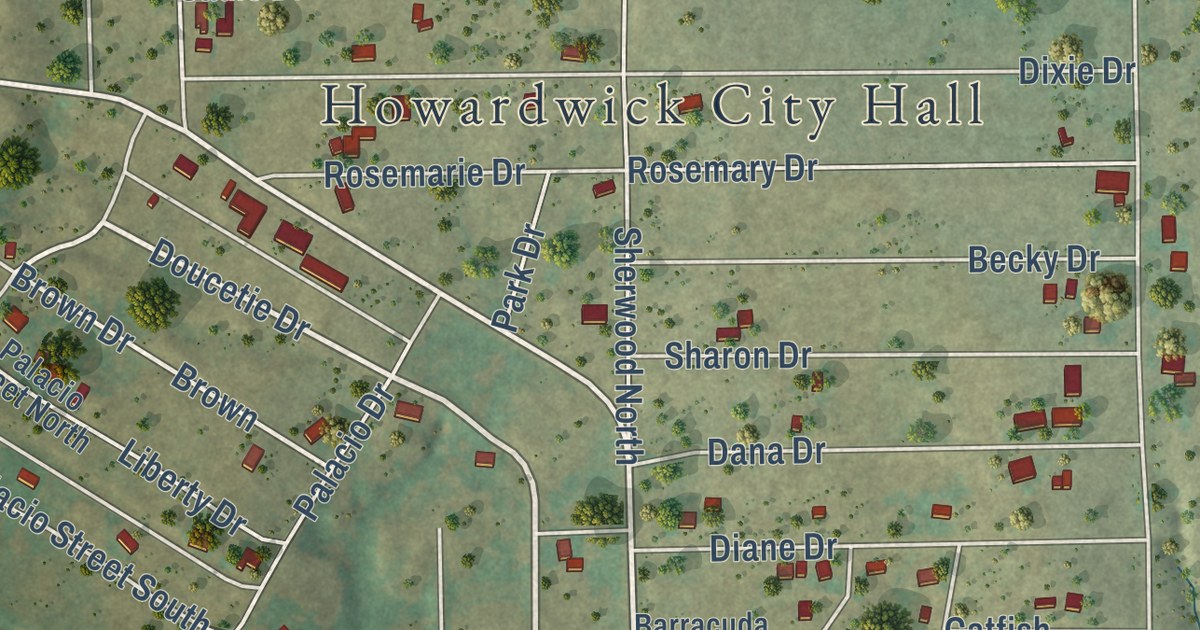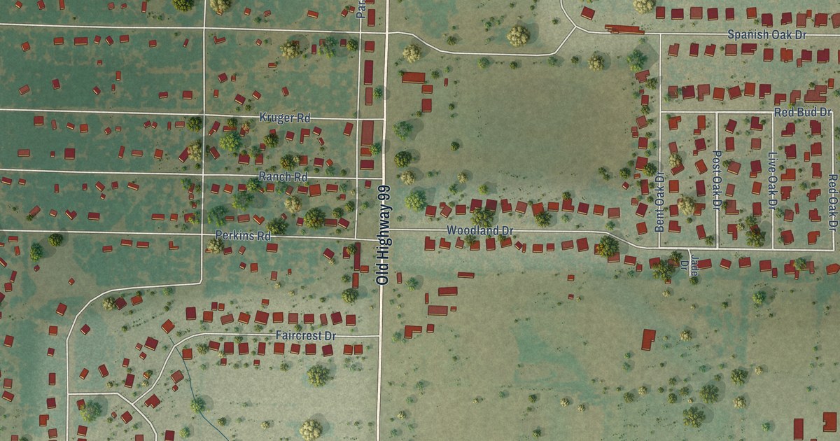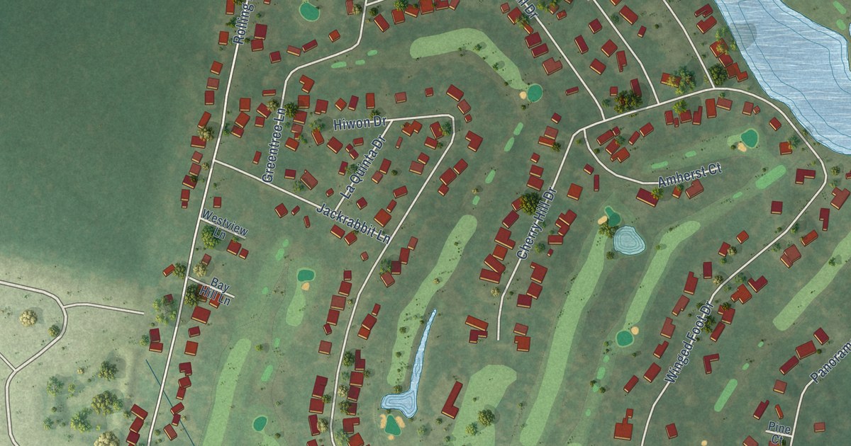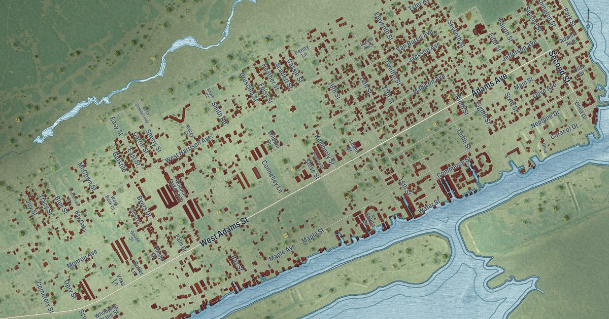
This beautifully detailed map of Port O'Connor, Texas was created in 2026 using aerial imagery combined with modern topographical, census, street and landmark data. It’s a one-of-a-kind view of Port O’Connor that combines accurate data with a vintage aesthetic. The map shows every building in its true location, many of the roads carry their names, and the shaded topographic relief shows the shape of the land.
Explore an aerial view of Port O'Connor, Texas
On the map you’ll find Second Street, Adams Avenue, Adams Street, West Adams Street, Park Street, Park Drive, Maple Street, Harrison Avenue, Stella Avenue, Byers Drive, 13th Street, Easy Street, and more. If you look closely you can even find your house accurately drawn in its correct location. Zoom in on the preview to look for yours.
Did you know this piece of Port O'Connor, Texas history?
Port O'Connor was laid out in 1909 by the Calhoun Cattle Company on the 70,000-acre Alligator Head Ranch, which had belonged to Thomas M. O'Connor. The railroad reached the new town by 1911, and it was named for O'Connor. By 1914 it was a summer resort, with a hotel and a bathing and dance pavilion for visitors. That's from the Handbook of Texas.
Take a closer look at the Port O'Connor map
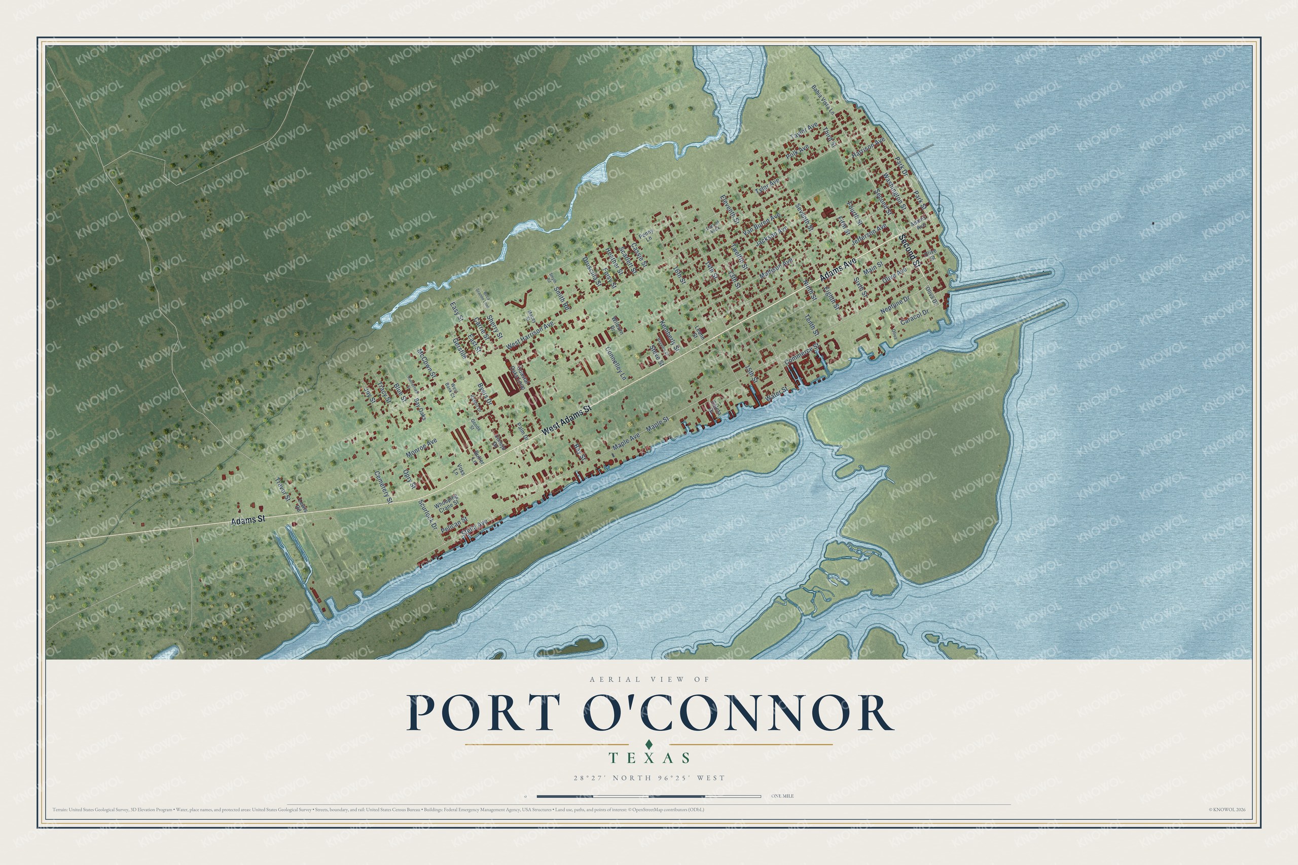
Street names on the Port O'Connor, Texas map
These names are printed on the map of Port O'Connor, Texas.
Streets and roads: Second Street, Adams Avenue, Adams Street, West Adams Street, Park Street, Park Drive, Maple Street, Harrison Avenue, Stella Avenue, Byers Drive, 13th Street, Easy Street.
More street names, A to Z
14th Street, 15th Street, 16th Street, Bahia Vista Lane, Bay Oaks, Bay Street, Bayview Drive, Blue Street, Boca Grande Loop, Butler Lane, Caleta Drive, Caracol Drive, Carrie Street, Cassie Street, Cemetery Street, Coastal Oaks Loop, Commerce Street, Conejo Drive, Connelley Lane, Druscilla Street, East Street, Eighth Street, Eleventh Street, Fifth Street, Foisy Street, Fourth Street, Gerstile, Goode Street, Heather Street, Jackson Avenue, Jefferson Avenue, Joy Street, Kemberly Street, Leann Street, Lewis Road, Lots of Luck, Macey Street, Madison Avenue, Main Street, Maple Avenue, McCown Street, Monroe Avenue, Neptune Drive, Ninth Street, Oliva, Oliva Drive, Olive Avenue, Olive Street, Opry Street, Palm Drive, Pelican Street, Penny Lane, Polk Avenue, Rabbit Drive, Rutherford Street, Scarlett Street, Scurlock Drive, Seventh Street, Sherry Street, Sixth Street, Smith Road, Smyth Road, Steve Street, Taylor Avenue, Tenth Street, Third Street, Tracy Street, Trevor Street, Twelfth Street, Tyler Avenue, Van Buren Avenue, Voss Lane, Washington Street, Water Street, West Bank Court, West Harrison Avenue, Whooping Crane Street, Wilburn Drive.
See the Port O'Connor, Texas map on a wall
The Port O'Connor map as an 18 x 24 inch print in a black frame.

This beautifully detailed map of Port O’Connor makes an attractive addition to your office, library, or den, and it can even be used to teach children the geography and history of the area. It also makes a great gift for someone who left Port O’Connor and still calls it home. When you’re done exploring, click here to get your copy of the Port O’Connor map.