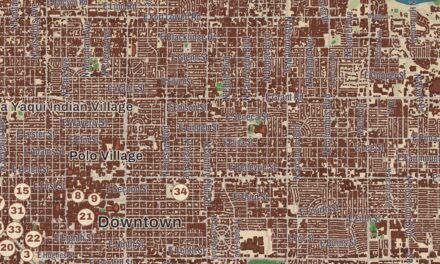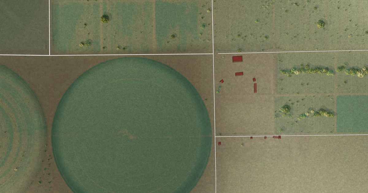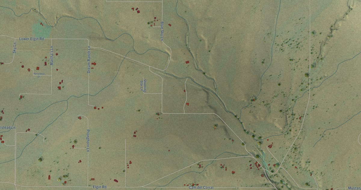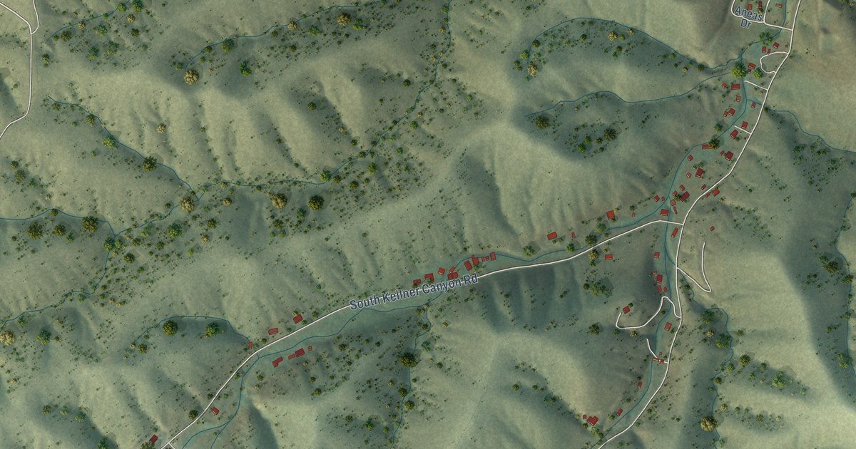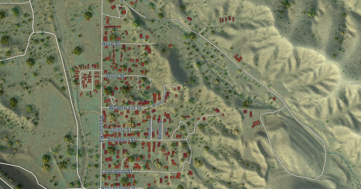
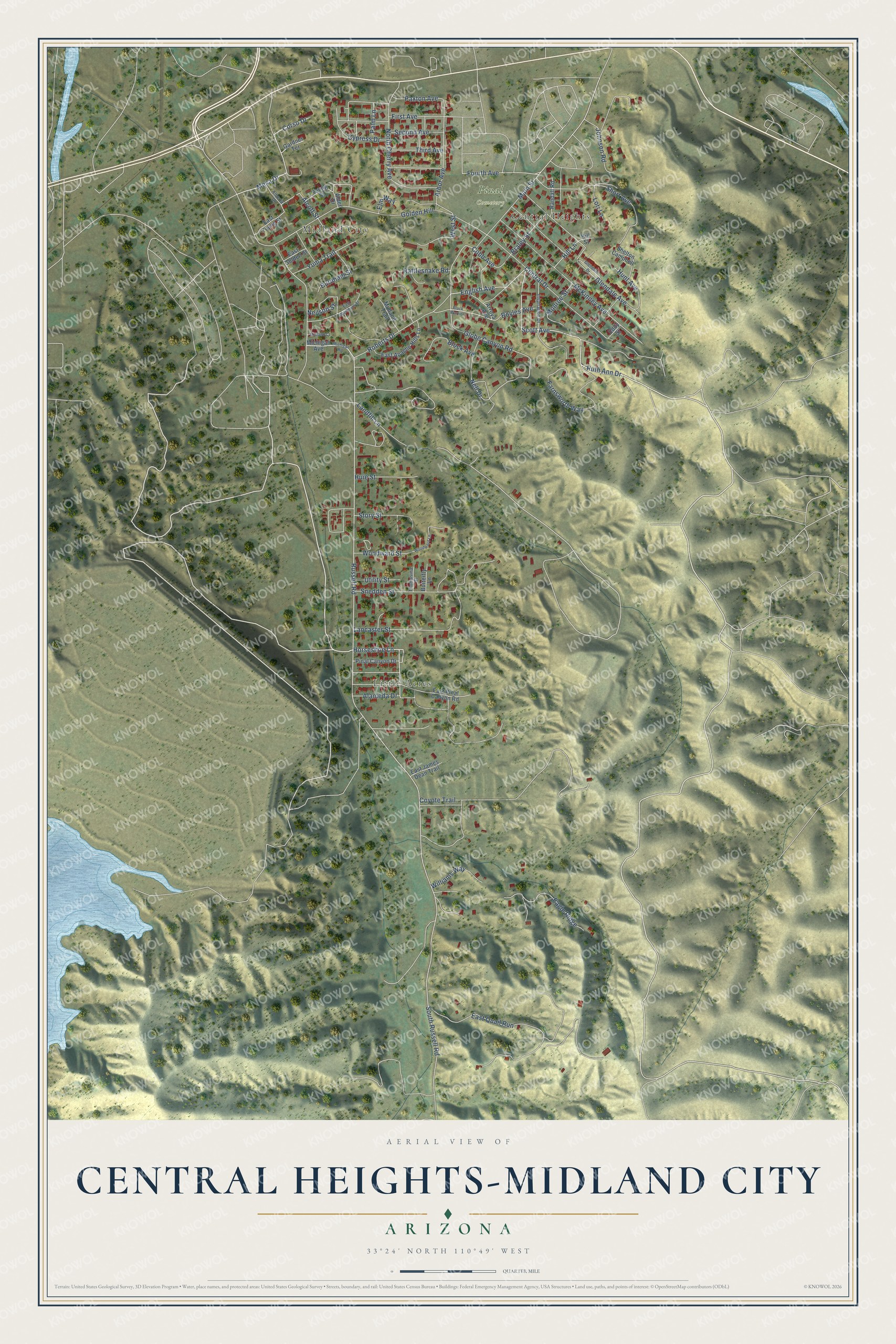
This beautifully detailed map of Central Heights-Midland City, Arizona was created in 2026 using aerial imagery combined with modern topographical, census, street and landmark data. It's a modern aerial view of Central Heights-Midland City in Gila County, Arizona, that combines modern data with a vintage aesthetic. The roads feature printed names, and if you look closely you can find your exact house accurately shown in its correct location.
Explore an aerial view of Central Heights-Midland City, Arizona
On this map you'll find Midland City, Central Heights, Little Acres, Pinal Cemetery, Horseshoe Lane, Scott Avenue, English Avenue, Russell Road, Roberts Drive, South Russell Road, Fourth Avenue, Arbor Avenue, and more. Each red shape is a building, so zoom in on the preview and look for yours.
Central Heights-Midland City is a community in Gila County. The Census Bureau counted 2,319 people here in 2020. Central Heights-Midland City sits about 2 miles east of Claypool, 3 miles northwest of Six Shooter Canyon and 3 miles east of Miami. The map prints the town name in its title panel, with the coordinates below it.
Take a closer look at the Central Heights-Midland City map
Names on this map
These names are printed on this map.
Places: Midland City, Central Heights, Little Acres and Pinal Cemetery.
Streets and roads: Horseshoe Lane, Scott Avenue, English Avenue, Russell Road, Roberts Drive, South Russell Road, Fourth Avenue, Arbor Avenue, Alcott Street, Cobb Avenue, Neilson Street, Globe Canyon Road.
More street names, A to Z
Alameda Drive, Alberta Drive, Alder Drive, Arroya Avenue, Black Warrior, Block Avenue, Boyles Avenue, Braley Street, Burnham Street, Butterfly Lane, Central Drive, Corso Drive, Coyote Trail, Cypress Drive, Eagle Ridge, East Apache Hills Lane, East Golden Street, East James Dean Trail, East Pinal Canyon Road, East Quail Run, East Washburn Street, East Young Street, Eddy Street, Elm Way, Farnsworth Way, First Avenue, Gardner Terrace, Glendale Avenue, Glendale Drive, Golden Hill, Hill Lane, Hill Street, Huie Street, Hunt Avenue, Inspiration Drive, Johnson Road, Lancaster Street, Landfill Lane, Lori Lane, Main Street, McKinney Avenue, Mesa Drive, Michigan Avenue, Michigan Road, Midland Court, Midland Trail, Monroe Street, Nell Drive, North Cherry Avenue, Palm Lane, Paxton Avenue, Pinal Canyon Drive, Randall Road, Rattlesnake Road, Ruth Ann Drive, Second Avenue, Shelton Campbell, Short Avenue, Snedden Street, Story Street, Third Avenue, Thomasina Street, Utility Street, West Street, Williams Way, Woodward Lane, Woodward Street, Young Street, Yuma Trail.
See it on a wall
The Central Heights-Midland City map as a framed print. Swipe for more.


Created by KNOWOL in 2026. The buildings are small red shapes, the roads carry their printed names, and shaded relief shows the shape of the land. The title panel reads "AERIAL VIEW OF CENTRAL HEIGHTS-MIDLAND CITY, ARIZONA" with 33°24' NORTH 110°49' WEST.
Hang it in the hallway, the office or the cabin, or give it to someone who left Central Heights-Midland City and still calls it home. Open the preview and look for a street you know. See sizes and frames for the Central Heights-Midland City map.