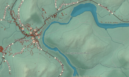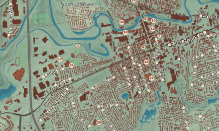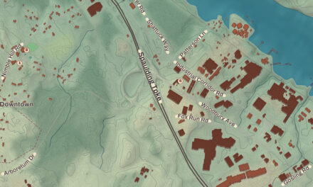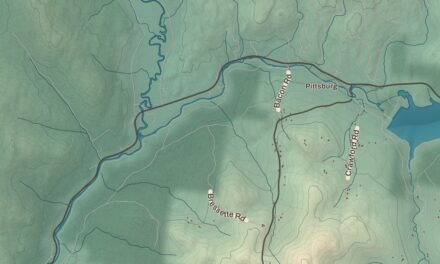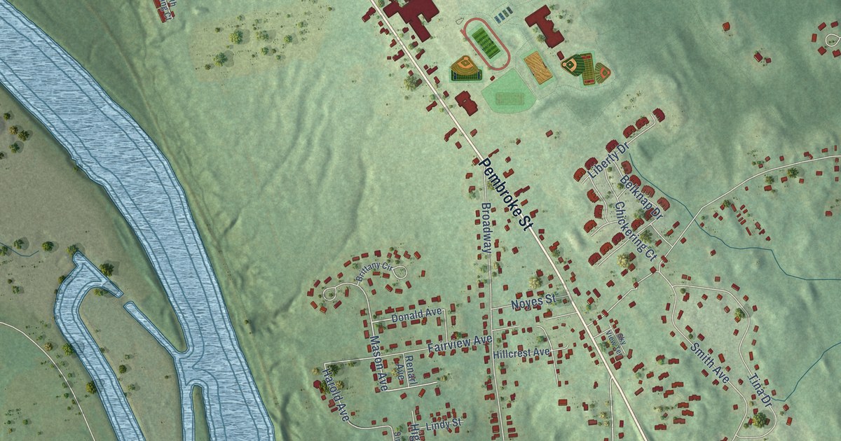
This beautifully detailed map of Suncook, New Hampshire was created in 2026 using aerial imagery combined with modern topographical, census, street and landmark data. It’s a one-of-a-kind view of Suncook that combines accurate data with a vintage aesthetic. The map shows every building in its true location, many of the roads carry their names, and the shaded topographic relief shows the shape of the land.
Explore an aerial view of Suncook, New Hampshire
On the map you’ll find Allenstown Municipal Building and Pembroke, along with Daniel Webster Highway, Hooksett Road, Pembroke Street, Pinewood Road, Mason Avenue, Turnpike Street, River View Way, Glass Street, Front Street, Granite Street, and more. Suncook sits about 3 miles north of Hooksett, 8 miles north of South Hooksett and 9 miles southeast of Concord. If you look closely you can even find your house accurately drawn in its correct location. Zoom in on the preview to look for yours.
Take a closer look at the Suncook map
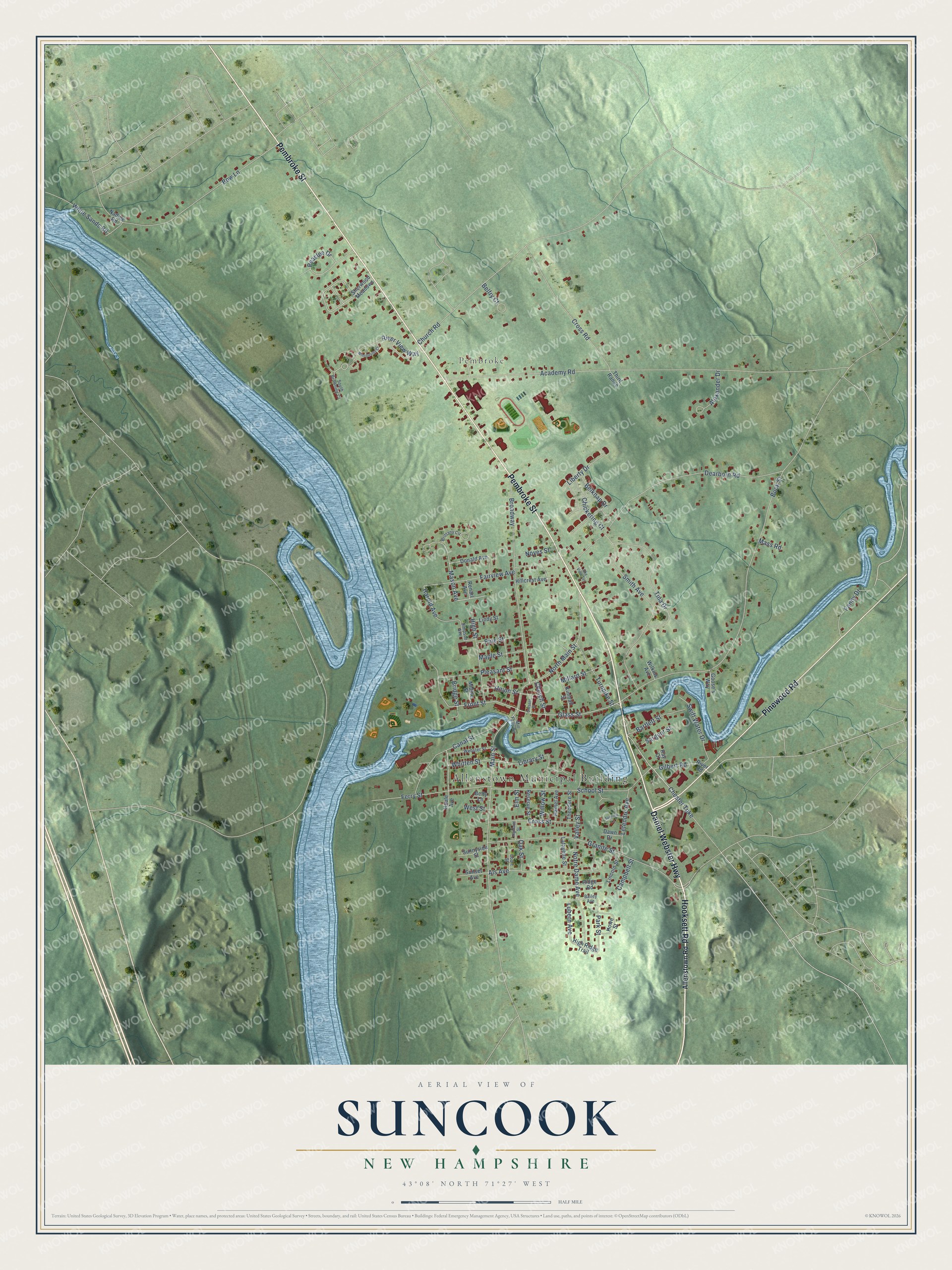
Names on this map
These names are printed on this map.
Places: Allenstown Municipal Building and Pembroke.
Streets and roads: Daniel Webster Highway, Hooksett Road, Pembroke Street, Pinewood Road, Mason Avenue, Turnpike Street, River View Way, Glass Street, Front Street, Granite Street, North Main Street, Peaslee Drive.
More street names, A to Z
Academy Road, Alexander Drive, Allenstown Road, Als Avenue, Bailey Avenue, Bartlett Street, Belfry Court, Belknap Drive, Betty Lane, Bow Lane, Bridge Street, Brittany Circle, Broadway, Buck Street, Campbell Street, Canal Street, Chester Turnpike, Chickering Court, Church Road, Church Street, Court Street, Cresent Street, Cross Road, Cross Street, Dawn Drive, Dearborn Road, Donald Avenue, Elm Street, Fairview Avenue, Fanny Drive, Ferry Street, Gilbert Road, Goose's Way, Hamel Avenue, Harold Avenue, Highland Street, High Ridge Trail, High Street, Hillcrest Avenue, Houle Avenue, Howe Street, Kimball Street, Lafayette Street, Letendre Avenue, Liberty Drive, Library Street, Lincoln Street, Lindy Street, Lubern Avenue, Main Street, Maple Street, Mass Road, Middle Street, Millard Street, Mill Falls Road, Nadine Road, Notre Dame Avenue, Noyes Street, Oak Street, Park Street, Pine Street, Pleasant Street, Ray Court, Renarl Avenue, Reserve Street, Ridge Road, River Road, Sargent Street, School Street, Sherwood Meadows, Simpson Avenue, Sky View Terrace, Smith Avenue, South Browning Court, Sunnyside Street, Sunrise Lane, Sunset Avenue, Swift Water Drive, Theodore Street, Third Range, Tina Drive, Union Street, Valley Street, Webster Street, West Street, White Sands Road, Whitten Street, Wilkins Avenue, Willow Street, Winchester Court.
See it on a wall
The Suncook map as a framed print. Swipe for more.


This beautifully detailed map of Suncook makes an attractive addition to your office, library, or den, and it can even be used to teach children the geography and history of the area. It also makes a great gift for anyone with Suncook roots. When you’re done exploring, click here to get your copy of the Suncook map.