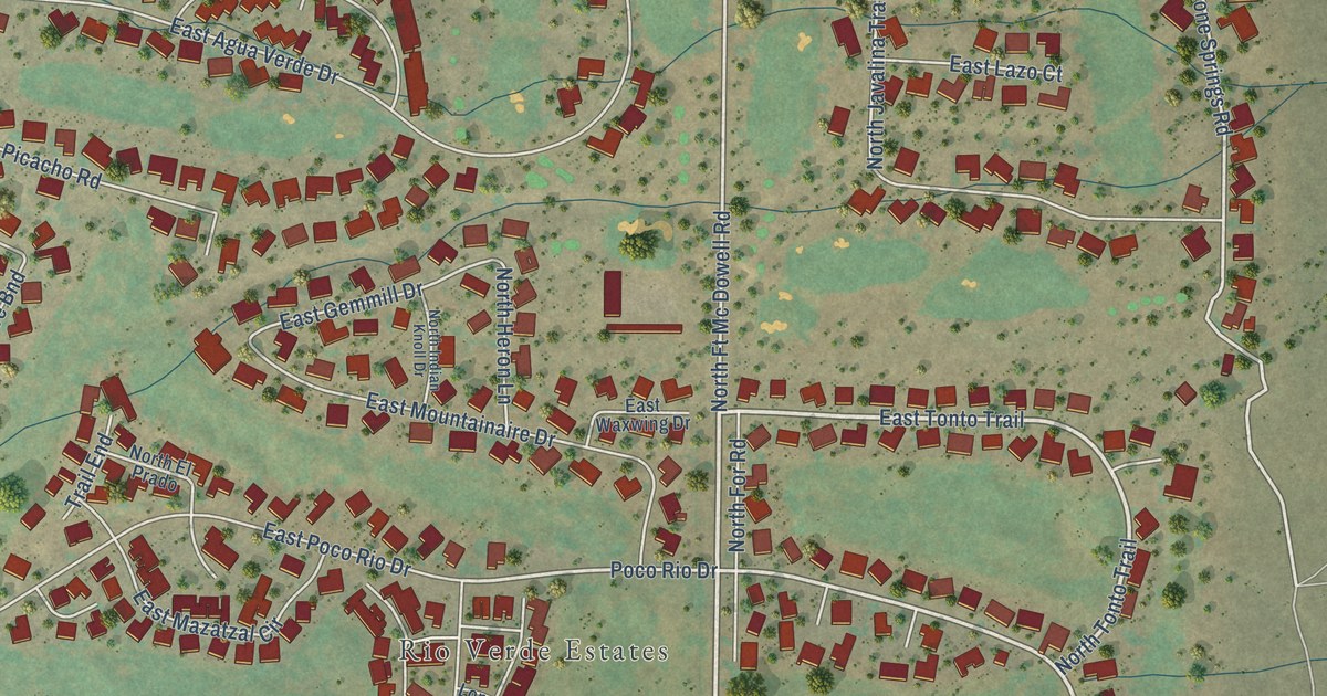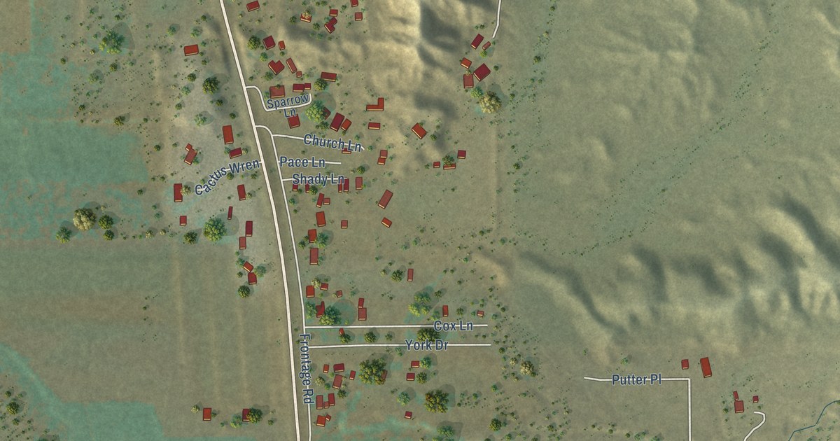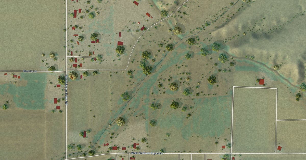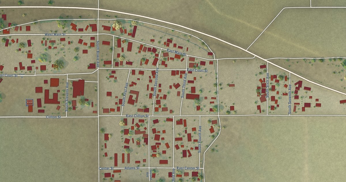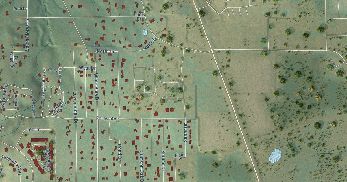
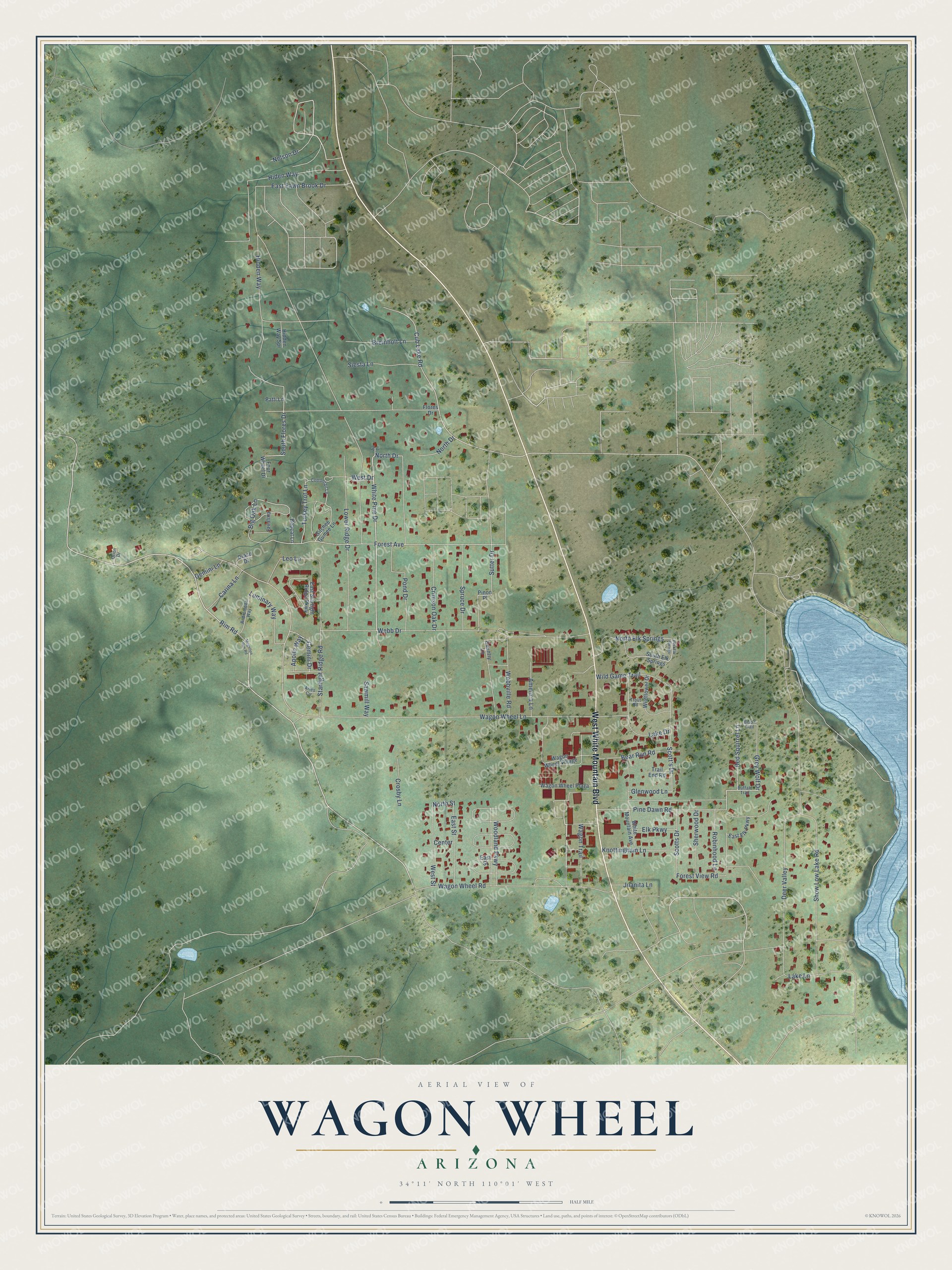
This beautifully detailed map of Wagon Wheel, Arizona was created in 2026 using aerial imagery combined with modern topographical, census, street and landmark data. It's a modern aerial view of Wagon Wheel in Navajo County, Arizona, that combines modern data with a vintage aesthetic. The roads feature printed names, and if you look closely you can find your exact house accurately shown in its correct location.
Explore an aerial view of Wagon Wheel, Arizona
On this map you'll find West White Mountain Boulevard, Rim Road, White Pine Drive, North Drive, Big Oak Lane, Cub Lake Road, North Street, South Flores Drive, Forest Avenue, Red Squirrel Lane, Sutter Drive, Scott's Drive, and more. Each red shape is a building, so zoom in on the preview and look for yours.
Wagon Wheel is a community in Navajo County. The Census Bureau counted 1,856 people here in 2020. Wagon Wheel sits about 4 miles northwest of Lake of the Woods, 5 miles northwest of Pinetop-Lakeside and 5 miles south of Show Low. The map prints the town name in its title panel, with the coordinates below it.
Take a closer look at the Wagon Wheel map
Names on this map
These names are printed on this map.
Streets and roads: West White Mountain Boulevard, Rim Road, White Pine Drive, North Drive, Big Oak Lane, Cub Lake Road, North Street, South Flores Drive, Forest Avenue, Red Squirrel Lane, Sutter Drive, Scott's Drive.
More street names, A to Z
America Lane, Andromeda Way, Apollo Way, Aries Circle, Bear Run Road, Bison Trail, Bobcat Lane, Breinholt Lane, Buffalo Trail, Carina Lane, Center, Cottontail Lane, Country Lane, Crimson Oak Drive, Crosby Lane, Deer Valley, Draco Drive, East Elk Parkway, East Elk Springs, East Fawn Brook Drive, East Starlight Ridge Parkway, East Street, Elk Parkway, Flores Drive, Forest View Road, Four Wheel Drive, Gemini Drive, Gemini Lane, Gitchee Gumee Lane, Glenwood Lane, Grey Wolf Drive, Hidden Way, Hidden Way Spr, Hiden Way, Javalina, Juanita Lane, Knottingham Lane, Lake Drive, Lake Lane, Leo Lane, Lower Ridge Drive, Luminary Way, Mogollon Rim Road, Nelson Drive, North Elk Springs, Orion Drive, Patti Lane, Pine Dawn Road, Pinon Place, Pond Drive, Robinhood Lane, Sawmill Way, Scotts Drive, Sherwood Drive, Show Low Lake Road, Siesta Lane, South Elk Springs, Spruce Drive, Starlight Ridge Road, Trail End Road, Trout Road, Turkey Trot Lane, Wagon Trail, Wagon Wheel Lane, Wagon Wheel Plaza, Wagon Wheel Road, Wagon Wheel Village, Webb Drive, Webbville Road, West Drive, West Street, White Mountain Avenue, Wildflower Drive, Wild Game Trail, Woodland Parkway, Zia Lane.
See it on a wall
The Wagon Wheel map as a framed print. Swipe for more.


Created by KNOWOL in 2026. The buildings are small red shapes, the roads carry their printed names, and shaded relief shows the shape of the land. The title panel reads "AERIAL VIEW OF WAGON WHEEL, ARIZONA" with 34°11' NORTH 110°01' WEST.
It looks right in a kitchen, an office or a den, and it's a gift for anyone who grew up in Wagon Wheel or moved away. Open the preview and find your street. See sizes and frames for the Wagon Wheel map.