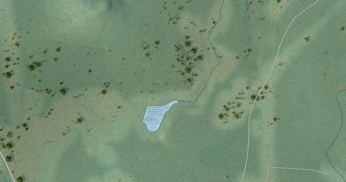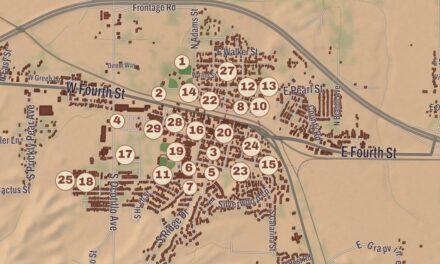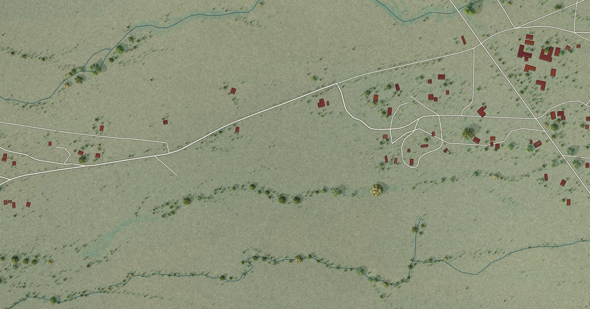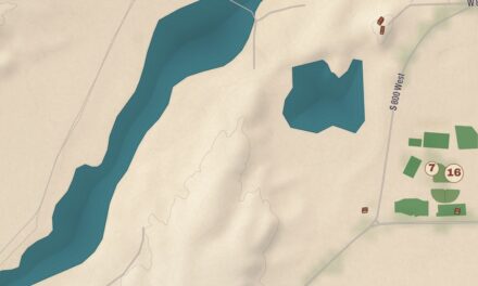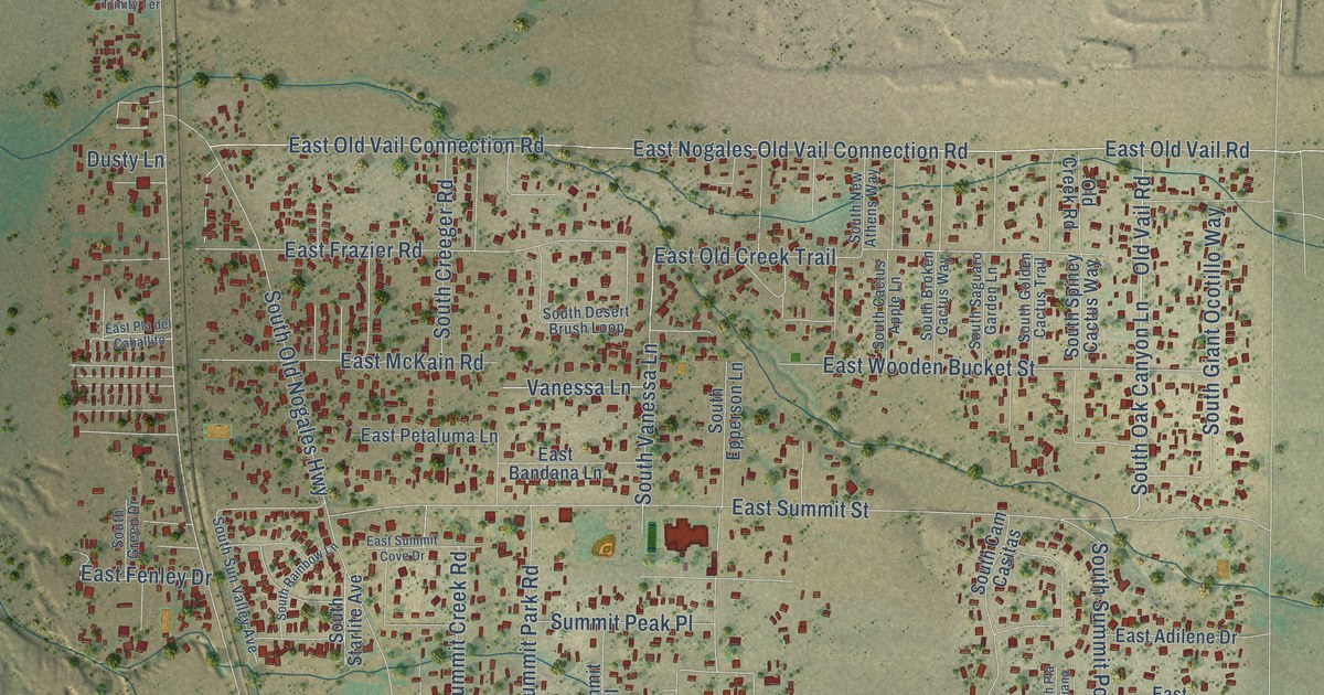
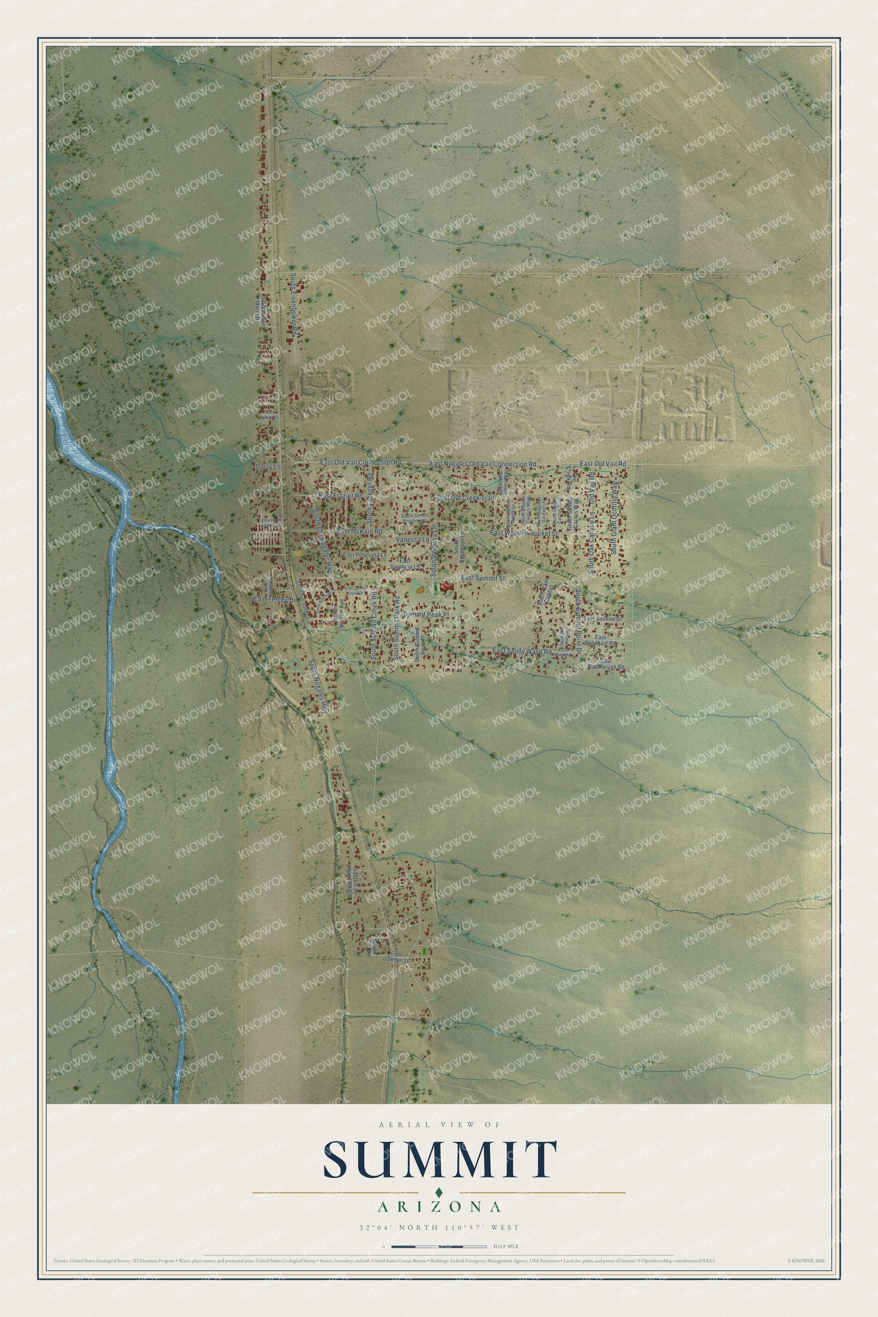
This beautifully detailed map of Summit, Arizona was created in 2026 using aerial imagery combined with modern topographical, census, street and landmark data. It’s a one-of-a-kind view of Summit that combines accurate data with a vintage aesthetic. The map shows every building in its true location, many of the roads carry their names, and the shaded topographic relief shows the shape of the land.
Explore an aerial view of Summit, Arizona
On the map you’ll find South Vanessa Lane, South Nogales Highway, South Old Nogales Highway, East Nogales Old Vail Connection Road, East Old Vail Connection Road, East Old Vail Road, East Summit Street, East Old Creek Trail, East Wooden Bucket Street, East Frazier Road, Old Vail Road, South Oak Canyon Lane, and more. Summit sits about 8 miles southwest of Tucson, 8 miles southeast of Drexel Heights and 9 miles north of Sahuarita. If you look closely you can even find your house accurately drawn in its correct location. Zoom in on the preview to look for yours.
Take a closer look at the Summit map
Names on this map
These names are printed on this map.
Streets and roads: South Vanessa Lane, South Nogales Highway, South Old Nogales Highway, East Nogales Old Vail Connection Road, East Old Vail Connection Road, East Old Vail Road, East Summit Street, East Old Creek Trail, East Wooden Bucket Street, East Frazier Road, Old Vail Road, South Oak Canyon Lane.
More street names, A to Z
Dusty Lane, East Adilene Drive, East Bandana Lane, East Blackbrush Road, East Fenley Drive, East Lumber Street, East McKain Road, East Petaluma Lane, East Pla del Caballito, East Sandbarr Road, East Sandy Wash Road, East Summit, East Summit Cove Drive, East Trinity Terrace, Old Creek Road, South Broken Cactus Way, South Cactus Apple Lane, South Cam Casitas, South Cam San Matias, South Coy Lane, South Creeger Road, South Desert Brush Loop, South Eisenhower Road, South Epperson Lane, South Giant Ocotillo Way, South Golden Cactus Trail, South Green Drive, South Helen Marie Drive, South New Athens Way, South Pla Mariana, South Rainbow Lane, South Saguaro Garden Lane, South Spiney Cactus Way, South Starlite Avenue, South Summit Creek Road, South Summit Park Road, South Summit Peak Place, South Summit Point Drive, South Sun Valley Avenue, Summit Peak Place, Vanessa Lane.
See it on a wall
The Summit map as a framed print. Swipe for more.


This beautifully detailed map of Summit makes an attractive addition to your office, library, or den, and it can even be used to teach children the geography and history of the area. It also makes a great gift for anyone who grew up in Summit or moved away. When you’re done exploring, click here to get your copy of the Summit map.