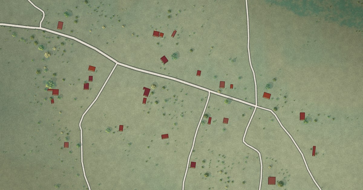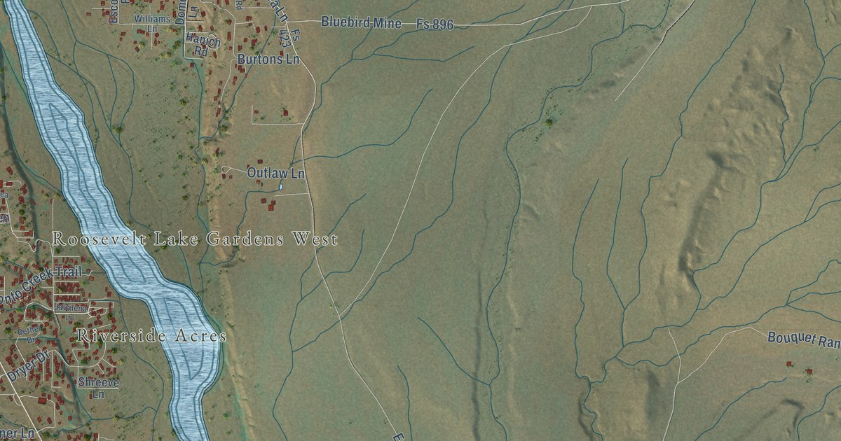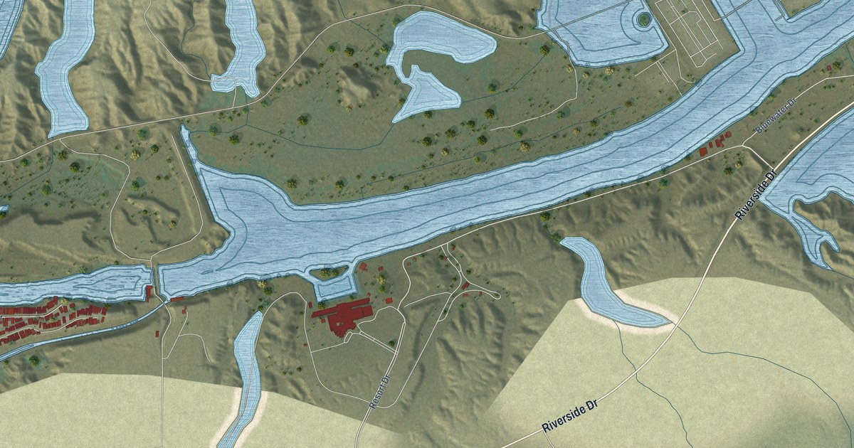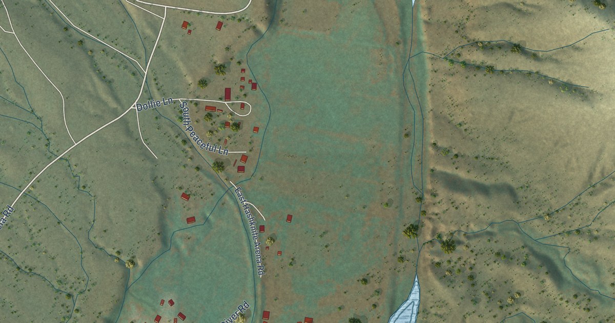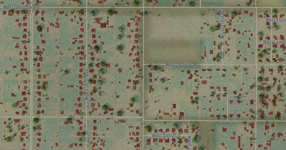
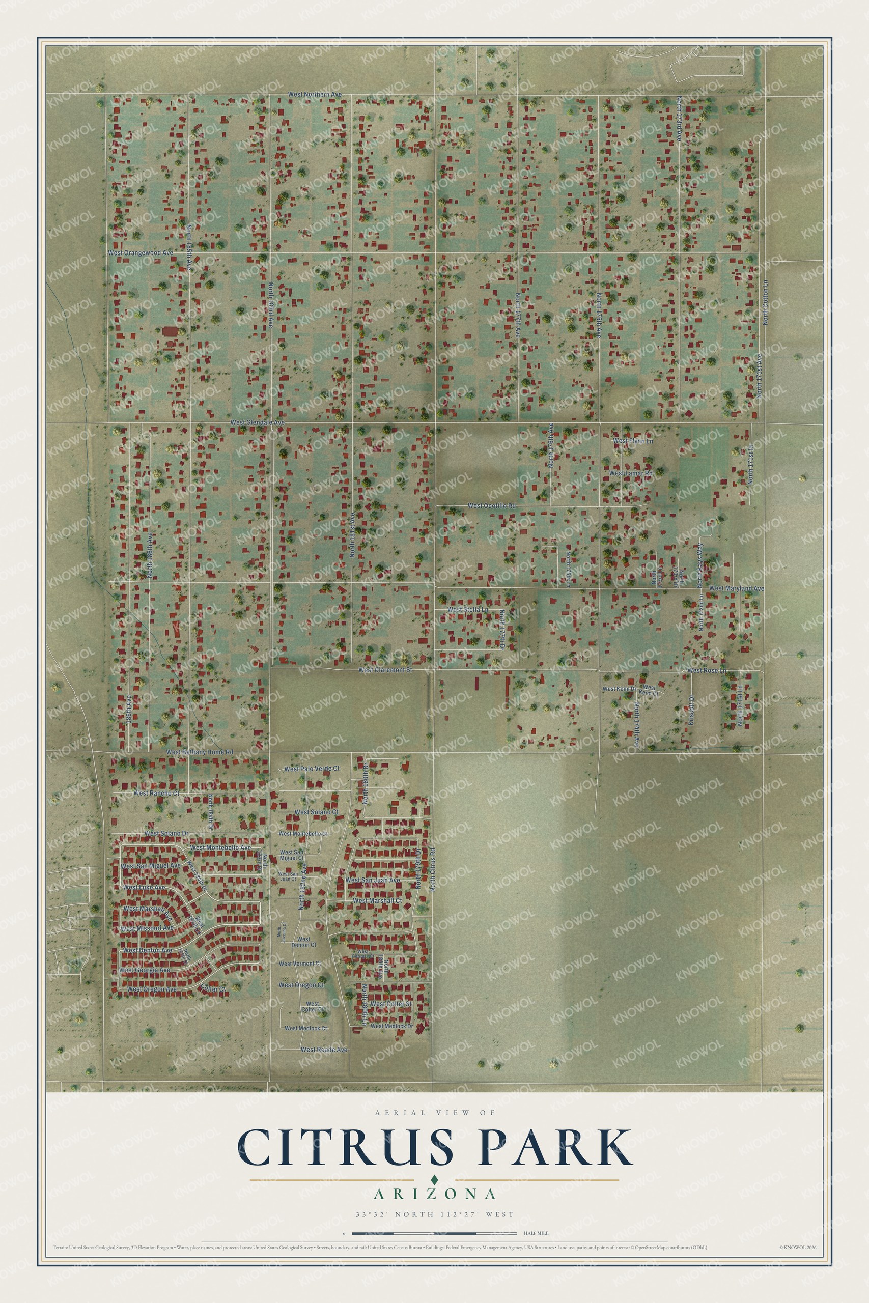
This beautifully detailed map of Citrus Park, Arizona was created in 2026 using aerial imagery combined with modern topographical, census, street and landmark data. It’s a one-of-a-kind view of Citrus Park that combines accurate data with a vintage aesthetic. The map shows every building in its true location, many of the roads carry their names, and the shaded topographic relief shows the shape of the land.
Explore an aerial view of Citrus Park, Arizona
On the map you’ll find West San Miguel Avenue, West Luke Avenue, West Marshall Avenue, West Denton Avenue, West Oregon Avenue, West Montebello Avenue, West Georgia Avenue, North 179th Drive, North 180th Drive, North 177th Drive, North 183rd Avenue, North Citrus Road, and more. Citrus Park sits about 5 miles northwest of Litchfield Park, 8 miles southwest of El Mirage and 9 miles southwest of Youngtown. If you look closely you can even find your house accurately drawn in its correct location. Zoom in on the preview to look for yours.
Take a closer look at the Citrus Park map
Names on this map
These names are printed on this map.
Streets and roads: West San Miguel Avenue, West Luke Avenue, West Marshall Avenue, West Denton Avenue, West Oregon Avenue, West Montebello Avenue, West Georgia Avenue, North 179th Drive, North 180th Drive, North 177th Drive, North 183rd Avenue, North Citrus Road.
More street names, A to Z
186th Avenue, Colter Court, Kriscott Drive, North 171st Avenue, North 171st Drive, North 171st Lane, North 172nd Lane, North 173rd Avenue, North 173rd Drive, North 173rd Lane, North 174th Avenue, North 175th Avenue, North 175th Lane, North 176th Avenue, North 177th Avenue, North 180th Avenue, North 180th Lane, North 181st Avenue, North 182nd Avenue, North 183rd Drive, North 184th Drive, North 185th Avenue, North 185th Drive, North 186th Avenue, North Cotton Lane, North Javelina Court, North Kays Way, West 184th Drive, West 184th Lane, West Bethany Home Road, West Claremont Street, West Colter Court, West Colter Street, West Denton Court, West Flynn Lane, West Georgia Court, West Glendale Avenue, West Keim Court, West Keim Drive, West Lamar Road, West Marshall Court, West Maryland Avenue, West Medlock Court, West Medlock Drive, West Missouri Avenue, West Montebello Court, West Northern Avenue, West Ocotillo Road, West Orangewood Avenue, West Oregon Court, West Palo Verde Court, West Rancho Court, West Reade Avenue, West Rose Lane, West San Juan Avenue, West San Juan Court, West San Miguel Court, West Solano Court, West Solano Drive, West Stella Lane, West Vermont Court.
See it on a wall
The Citrus Park map as a framed print. Swipe for more.


This beautifully detailed map of Citrus Park makes an attractive addition to your office, library, or den, and it can even be used to teach children the geography and history of the area. It also makes a great gift for anyone with Citrus Park roots. When you’re done exploring, click here to get your copy of the Citrus Park map.