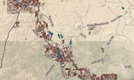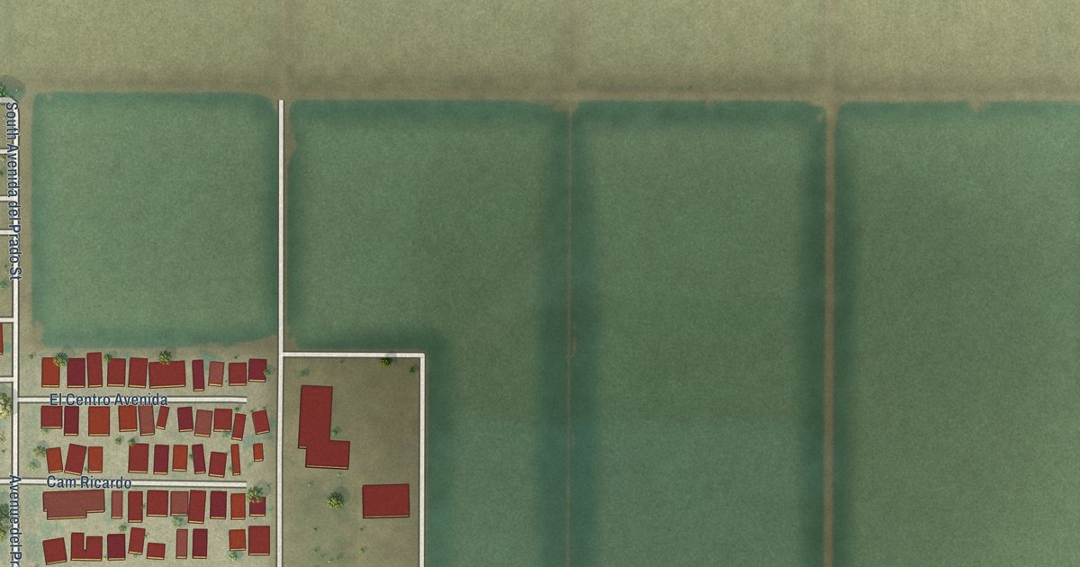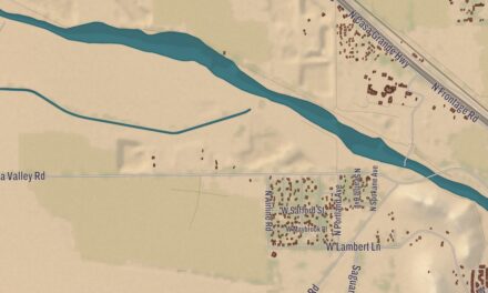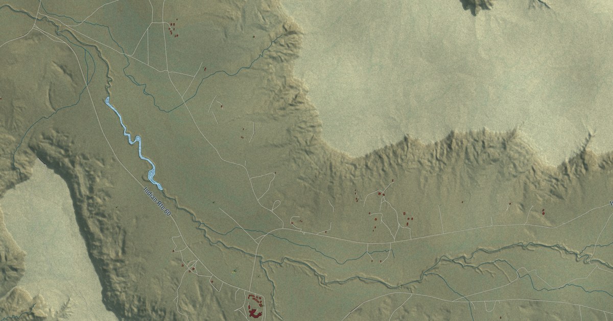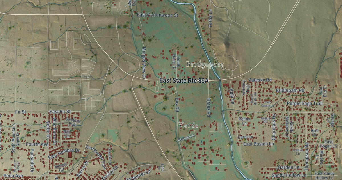
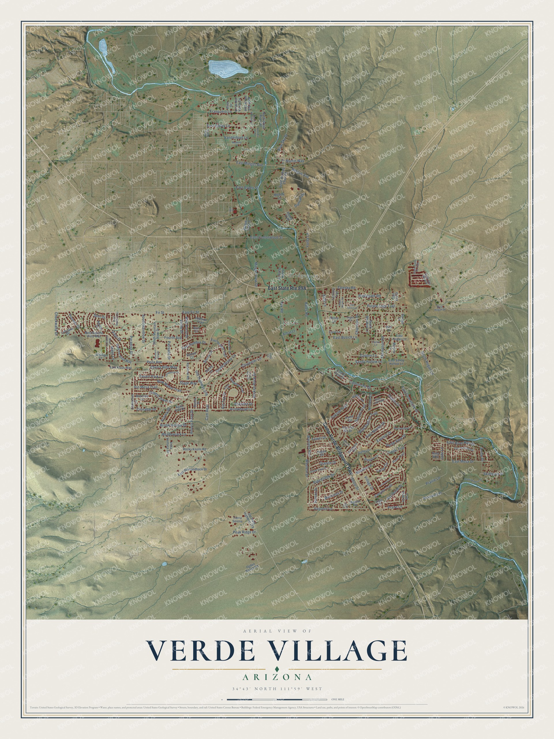
This beautifully detailed map of Verde Village, Arizona was created in 2026 using aerial imagery combined with modern topographical, census, street and landmark data. It’s a one-of-a-kind view of Verde Village that combines accurate data with a vintage aesthetic. The map shows every building in its true location, many of the roads carry their names, and the shaded topographic relief shows the shape of the land.
Explore an aerial view of Verde Village, Arizona
On the map you’ll find Smelter City, Bridgeport, and Verde, along with Camp Verde-Bridgeport Highway, Fir Street, Viejo Drive, Diablo Drive, Arrowhead Lane, Chuckwalla Drive, Village Drive, Pioneer Drive, East Fir Street, and more. Verde Village sits about 3 miles south of Cottonwood, 4 miles southeast of Clarkdale and 5 miles west of Cornville. If you look closely you can even find your house accurately drawn in its correct location. Zoom in on the preview to look for yours.
Take a closer look at the Verde Village map
Names on this map
These names are printed on this map.
Places: Smelter City, Bridgeport and Verde.
Streets and roads: Camp Verde-Bridgeport Highway, Fir Street, Viejo Drive, Diablo Drive, Arrowhead Lane, Chuckwalla Drive, Village Drive, Pioneer Drive, East Fir Street, Fourth Avenue, Paradise Drive, Union Drive.
More street names, A to Z
18th Place, Acoma Drive, Agua Fria Drive, Alvarado Lane, Angus Circle, Arrow Drive, Arroya Vista Drive, Bart Circle, Bates Road, Bird Lane, Blue Sky Drive, Boban Lane, Bonita Drive, Bow Maker Trail, Branded Drive, Bridlepath Road, Broken Rock Drive, Brook Hollow Drive, Brozwich Place, Buckboard Trail, Cactus Wren Road, Caitlin Lane, Cam Real, Canyon Trail, Carol Lane, Carpenter Lane, Cayuse Trail, Cecilias Lane, Chaparral Drive, Charolais Drive, Cherry Hills Way, Cinnabar Drive, Cliff View Drive, Comanche Drive, Concho Trail, Contention Lane, Desert Jewel Drive, Desert Park Lane, Dobbins Trail, Duncan Drive, East Aspen Street, East Busich Lane, East Butte Drive, East Cassie Lane, East Comanche Drive, East Cottonwood Street, East Del Rio Drive, East Diamondback Drive, East Donner Trail, East El Paso Drive, Eastern Drive, East Hogan Lane, East Hombre Drive, East Kerley Lane, East Klaus Way, East Mesa Drive, East Mingus Avenue, East Navajo Drive, East Ramada Road, East River Run Drive, East Sandy Hollow Lane, East Settlers Circle, Franquero Lane, Garden Lane, Grand View Drive, Granite Drive, Gray Bar Drive, Happy Trail, Hill Top Drive, Hilltop Drive, Hogan Circle, Horseshoe Lane, Jade Lane, Juniper Trail, Kelli Lane, Lariat Circle, Larkspur Drive, Lobo Lane, Mano Lane, Maricopa Drive, Martin Way, Massai Circle, Meadowlark Lane, Melody Lane, Memory Lane, Michelle Cr, Mingus Avenue, Mingus View Drive, Mission Lane, Mountain View Drive, Muretic Lane, Navajo Drive, North 16th Street, North Autumn Lane, North Green River Road, North Rio Arriba, North Rio Verde Circle, North Rio Verde East, Ogden Ranch Road, Old Highway 279, Old State Highway 279, Palisade Drive, Peak Ridge Drive, Peila Avenue, Penny Lane, Pinto Trail, Pipe Creek Drive, Praire Lane, Prairie Lane, Pueblo Road, Puma Circle, Purple Sage Trail, Rainbow Road, Rancho Vista Way, Rio Mesa Trail, Rio Verde Drive, River Drive, Rix Lane, Rocky Knolls Road, Ruby Way, Sabino Trail, Sandy Hollow Lane, Sandy Lane, Savage Lane, Shawnee Trail, Sierra Drive, Silver Leaf Trail, Skidmore Drive, South Alta Mesa Drive, South Destry Lane, South Glenbar Drive, South Hogan Lane, South Meadow Lane, South Mountain View Drive, South Oasis Drive, South Rainbow Drive, South Rocking Chair Road, South Santa Fe Trail, South Skidmore Drive, Spur Drive, Stage Way, Stetson Lane, Sunset Circle, Sunset Drive, Territory Trail, Thompson Road, Tierra Serena, Tower Drive, Trail End Drive, Uvx Road, Valley Drive, Vanderhoef Lane, Vaquero Lane, Verde Drive, Verde View Drive, Vista Drive, Vista Ventana Drive, Wagon Master Road, Warriors Run, Western Drive, West Hogan Drive, West Rancho Vista Way, Wild Burro Drive, Wild Stallion Trail, Willow Tree Lane, Yorba Lane, Yuma Circle, Zalesky Road.
See it on a wall
The Verde Village map as a framed print. Swipe for more.


This beautifully detailed map of Verde Village makes an attractive addition to your office, library, or den, and it can even be used to teach children the geography and history of the area. It also makes a great gift for someone who left Verde Village and still calls it home. When you’re done exploring, click here to get your copy of the Verde Village map.