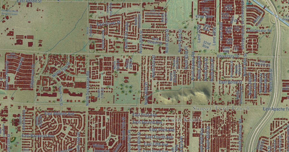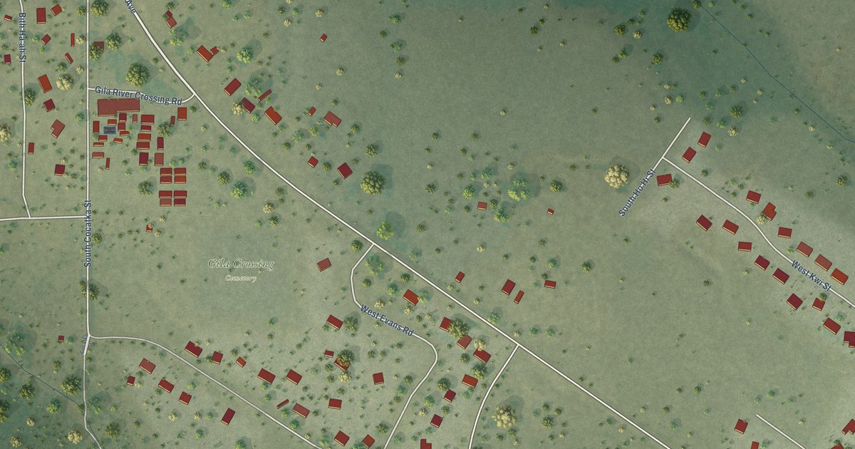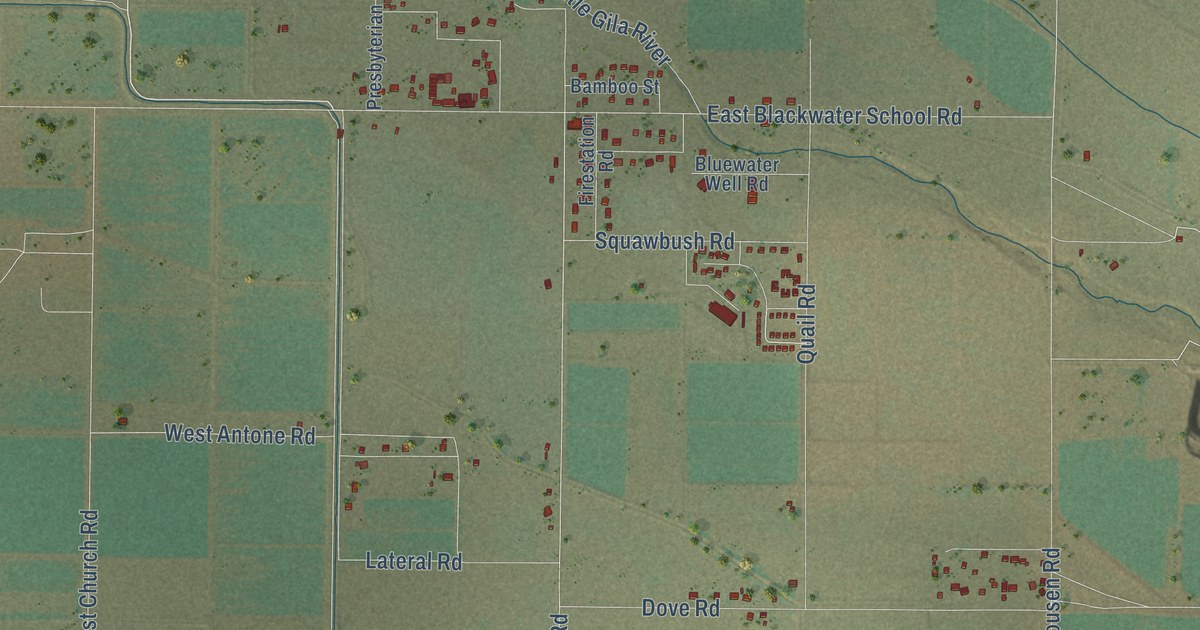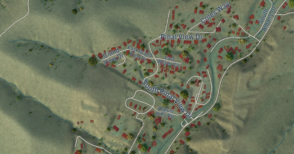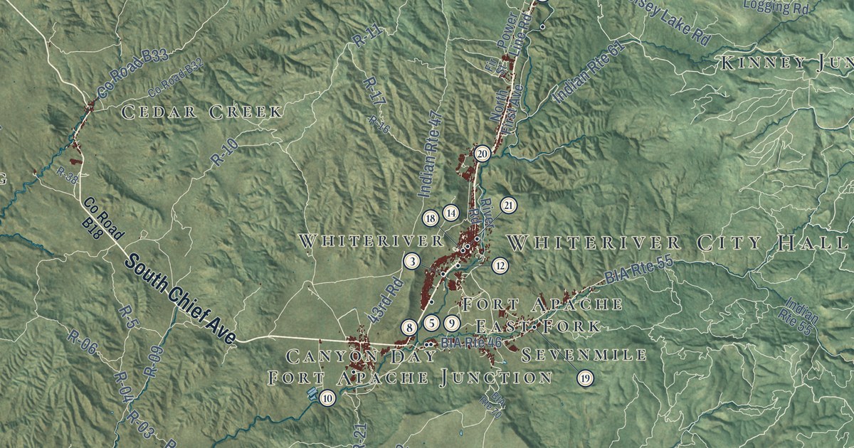
This beautifully detailed map of White Mountain Apache Tribe, Arizona was created in 2026 using aerial imagery combined with modern topographical, census, street and landmark data. It’s a one-of-a-kind view of White Mountain Apache Tribe that combines accurate data with a vintage aesthetic. The map shows every building in its true location, many of the roads carry their names, and the shaded topographic relief shows the shape of the land.
See the White Mountain Apache Tribe, Arizona map on a wall
The White Mountain Apache Tribe map as an 18 x 24 inch print in a black frame.

Explore an aerial view of White Mountain Apache Tribe, Arizona
On the map you’ll find Tribal Council, Cibecue Library, Canyon Day Junior High School, East Fork Mission School, Whiteriver Elementary School, Pacheta Lake, and more. If you look closely you can even find your house accurately drawn in its correct location. Zoom in on the preview to look for yours.
Take a closer look at the White Mountain Apache Tribe map
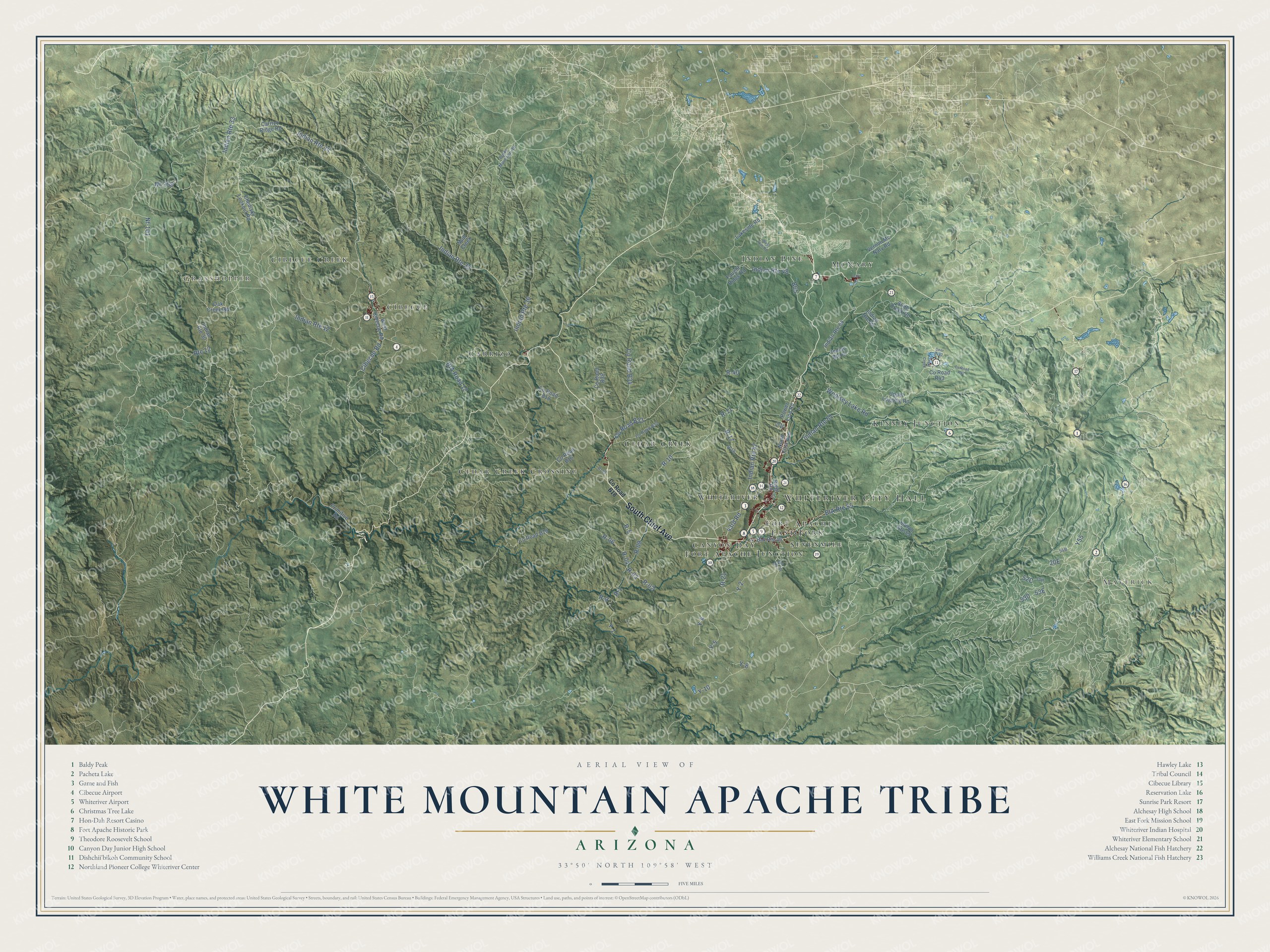
Click to explore a larger preview. The digital watermark does not appear on printed maps.
Street and place names on the White Mountain Apache Tribe, Arizona map
These names are printed on the map of White Mountain Apache Tribe, Arizona.
Places: Whiteriver City Hall, Maverick, Grasshopper, McNary, Carrizo, Kinney Junction, Cedar Creek Crossing, Cibecue Creek, Canyon Day, Cibecue, Cedar Creek, Sevenmile, East Fork, Indian Pine, Fort Apache Junction, Fort Apache and Whiteriver.
Streets and roads: South Chief Avenue, Indian Route 61, Indian Route 35, Y55, R-21, R-11, 43rd Road, R-10, Y-2, Y-8, R-04, Indian Route 33.
More street names, A to Z
B65, BIA Road 12, BIA Route 46, BIA Route 55, BIA Route 70, Burke Mountain Road, Carrizo Ridge Road, Chediski Lookout Road, Cibecue Road, County Road B16, County Road B18, County Road B19, County Road B32, County Road B33, County Road B34, County Road B38, County Road R42, County Road R43, Deer Trail, Faught Ridge Road, Fir Street, Indian Route 12, Indian Route 30, Indian Route 34, Indian Route 36, Indian Route 47, Indian Route 48, Indian Route 55, Indian Route 64, Indian Route 67, Indian Route 69, Lakeside Road, Mud Creek, Nf-101, Nf-358, North First Avenue, Oak Creek Road, Oak Street, Power Line Road, Primitive Road, R-02, R-03, R-06, R-09, R-1, R-5, R-9, R-16, R-17, R-38, R-40, River Road, Route 12, Slide Creek Road, Trout Creek, Upper Logging Road, Vernon Mc Nary Road, West Cibecue Road, West Rim Road, Woolsey Lake Road, Y-1, Y-4, Y-5, Y-10.
This beautifully detailed map of White Mountain Apache Tribe makes an attractive addition to your office, library, or den, and it can even be used to teach children the geography and history of the area. It also makes a great gift for someone who left White Mountain Apache Tribe and still calls it home. When you’re done exploring, click here to get your copy of the White Mountain Apache Tribe map.