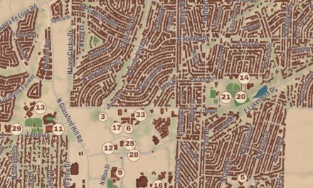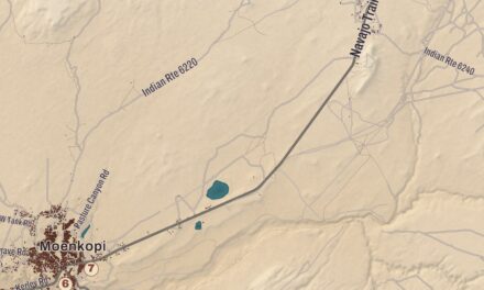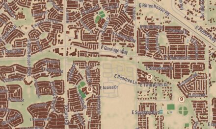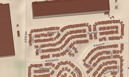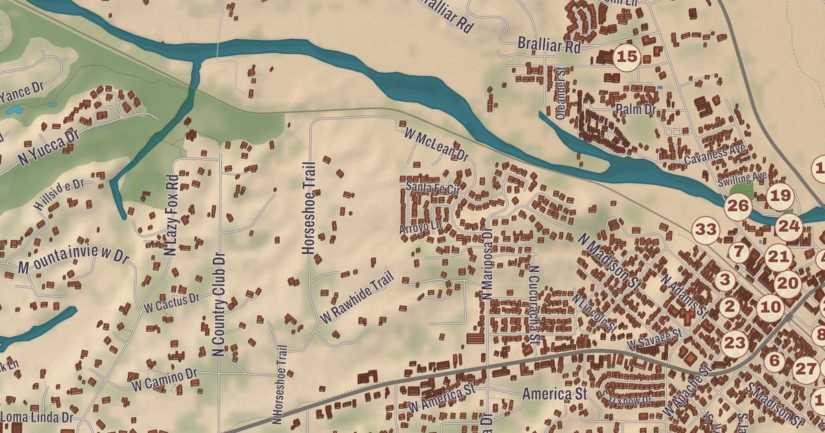
This beautifully detailed map of Wickenburg, Arizona was created by KNOWOL in 2026. It shows the city and its streets as they look in the modern day, combining topographical data with the beautiful aesthetic of vintage atlases. The shaded relief of West Mountain comes straight from United States Geological Survey elevation data, and every street name was taken from Census Bureau files.
Historic sites such as Santa Fe Railroad Depot and Visitor Center, Wickenburg High School, and Garcia School Museum were confirmed against the National Park Service and the National Register of Historic Places. The combination of modern data with a vintage historical map aesthetic creates a one-of-a-kind piece made for people who call Wickenburg home. It’s a memory of the city, as it is today. You can zoom in on the map below to explore the details, or click here to purchase a print for your home.
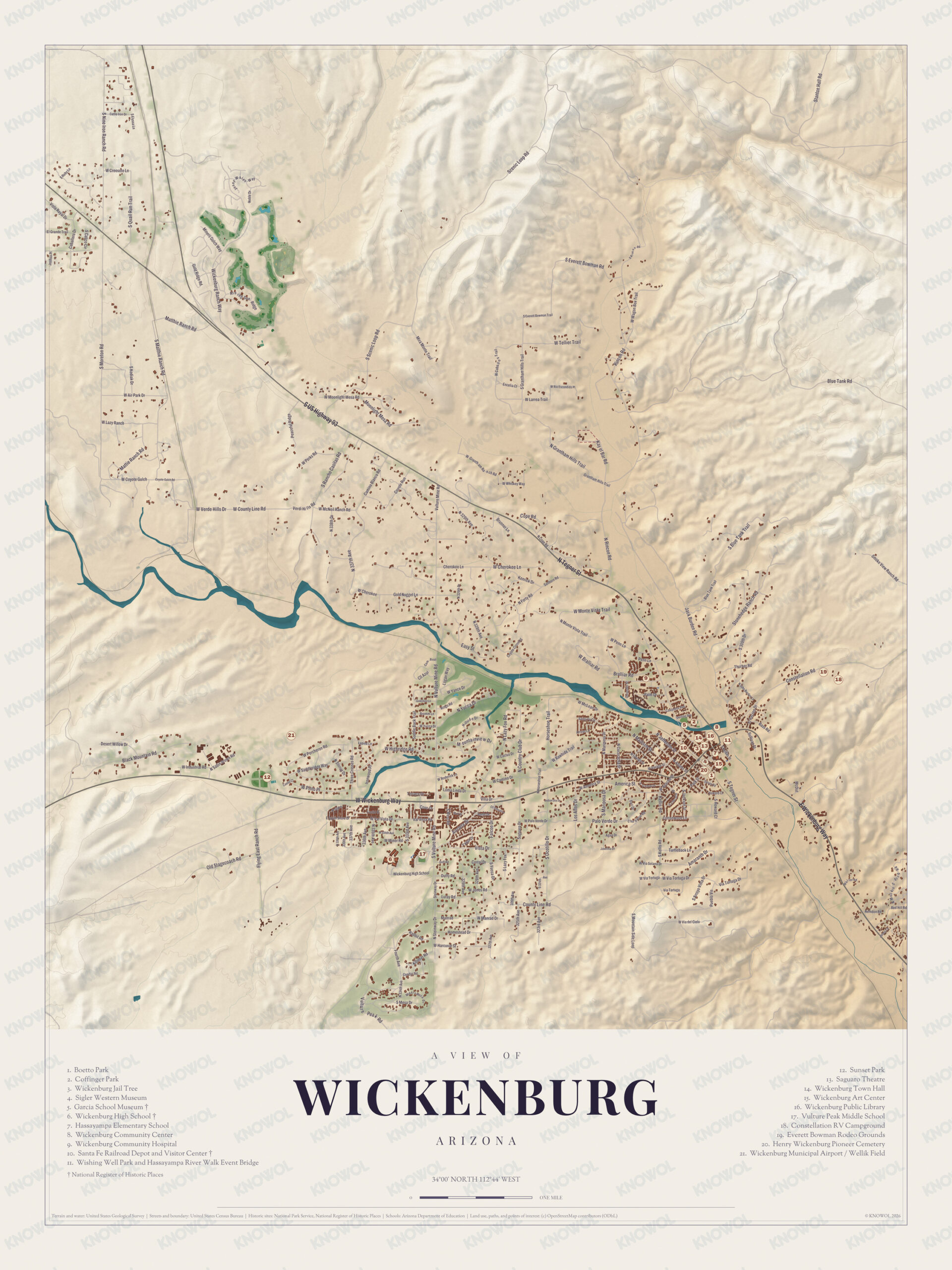
Click to explore a larger preview. The digital watermark does not appear on printed maps.
Landmarks on the map include Santa Fe Railroad Depot and Visitor Center, Wickenburg High School, Garcia School Museum, Wickenburg Public Library, Boetto Park, Vulture Peak Middle School, and more. It also depicts the city’s familiar geography from Listening Hills out to Wickenburg Ranch, with West Mountain and Hassayampa River giving shape to the landscape.
This beautiful map of Wickenburg makes an attractive addition to your office, library, or den and can even be used to teach children the geography and history of the area. When you’re done exploring, click here to get your copy of this accurately drawn map of Wickenburg, Arizona.