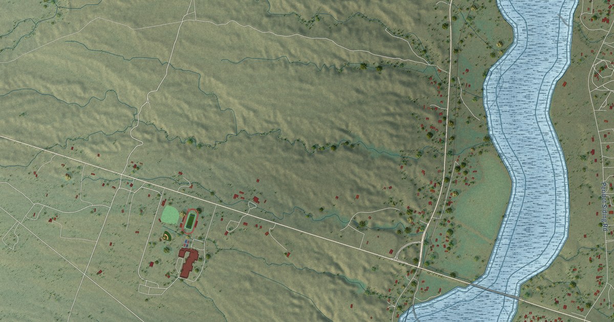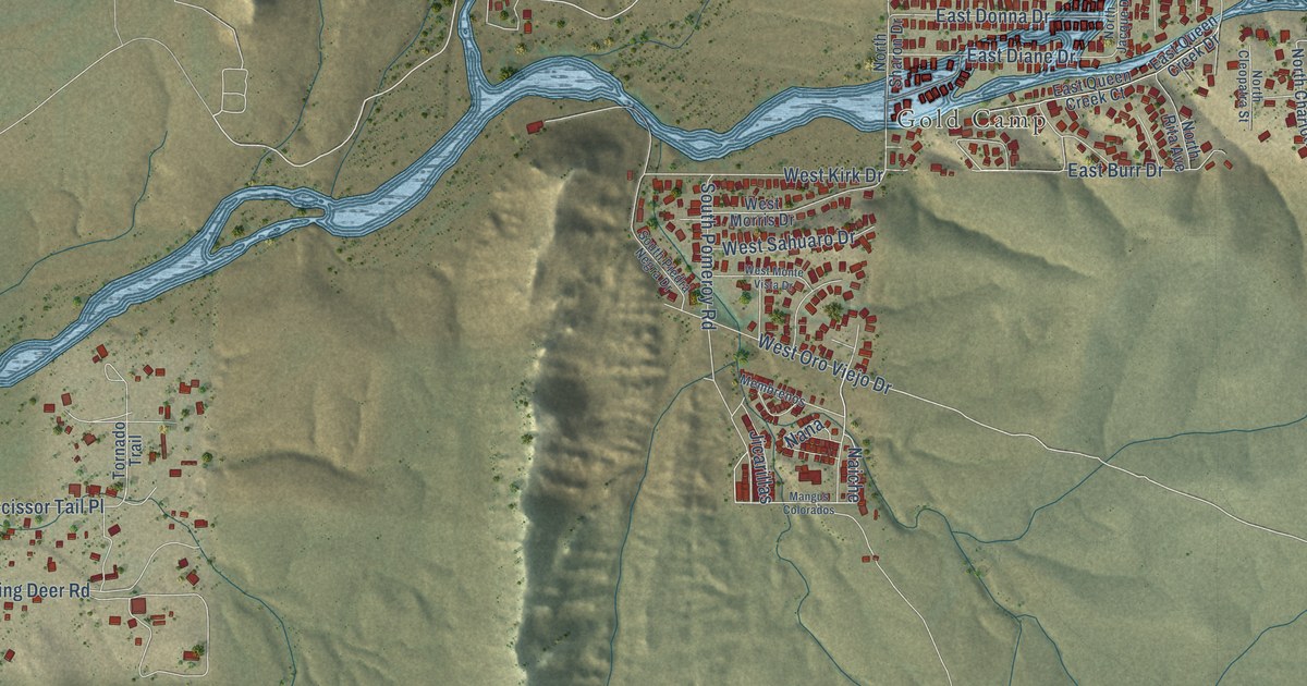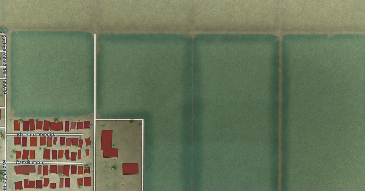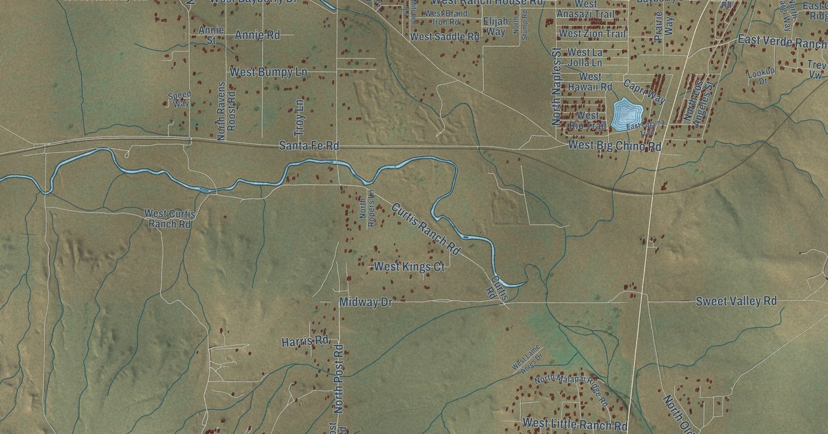
This beautifully detailed map of Paulden, Arizona was created in 2026 using aerial imagery combined with modern topographical, census, street and landmark data. It’s a one-of-a-kind view of Paulden that combines accurate data with a vintage aesthetic. The map shows every building in its true location, many of the roads carry their names, and the shaded topographic relief shows the shape of the land.
Explore an aerial view of Paulden, Arizona
On the map you’ll find Abra, West Pilots Rest Airstrip, and Iris, along with Curtis Ranch Road, North Enid Drive, North Catalina Street, North Woody Drive, North Post Road, Midway Drive, West Runway Road, West Ahonen Road, Falcon Way, and more. Paulden sits about 11 miles northwest of Chino Valley, 13 miles north of Williamson and 21 miles north of Prescott. If you look closely you can even find your house accurately drawn in its correct location. Zoom in on the preview to look for yours.
Take a closer look at the Paulden map
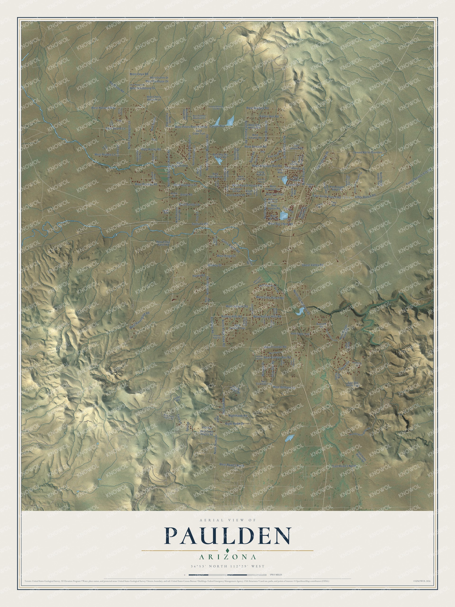
Names on this map
These names are printed on this map.
Places: Abra.
Streets and roads: Curtis Ranch Road, North Enid Drive, North Catalina Street, West Pilots Rest Airstrip, North Woody Drive, North Post Road, Midway Drive, West Runway Road, West Ahonen Road, Falcon Way, Iris, Santa Fe Road.
More street names, A to Z
Aalco Lane, Aiken Ranch Road, Annie Road, Annie Street, Antelope Road, Bald Eagle Trail, Bayberry Drive, Big Chino Road, Bison Walk Way, Buffalo Run Road, Bull Snake, Capri Way, Carver Trail, Catalina Street, Cedar Heights, Chato Drive, Clayton Road, Curtis Road, Dalley Way, East Abra Road, East Ahonen Road, East Alpine Drive, East Aspen Road, East Cougar Ridge Road, East Laguna Trail, East Quail Road, East Road 5 North, East Still Valley Trail, East Verde Ranch Road, Elijah Way, Fenced Nat for Boundary, Forest Service 174 Road, Forest Service 635 Road, Grandview Road, Gray Gos Road, Hackamore Lane, Hard Cider Trail, Harris Road, Kessler Ranch Road, Leonora Lane, Linda Lane, Living Tree Lane, Lola Lane, Lookup Drive, Lunar Way, Mangas Drive, Mitchell Lane, New Old Home Manor Road, Night Hawk Drive, Nighthawk Road, North Amargi Way, North Andrea Lane, North Big Springs Ranch Road, North Cabernet Lane, North Champagne Lane, North Dark Sky, North Emery Drive, North Falcon Way, North Feather Mountain Road, North Hackamore Lane, North High Desert Road, North Larita Road, North Los Angeles Street, North Malapai Ridge Road, North Mitchell Road, North Morgan Ranch Road, North Naples Street, North Old Highway 89, North Page Flat Trail, North Patricia Road, North Ravens Roost Road, North Ridge View Road, North Riesling Lane, North Ropers Lane, North Stump Road, North Sun Hawk Road, North Upper Verde Trail, North Verde Highlands Trail, North Yuma Drive, Oak Avenue, Old Highway 89, Old Home Manor Road, Oxbow Circle, Poppy Drive, Post Road, Prairie Way, Reata Trail, Reed Road, Rimrock Road, Rolling Hills Road, Ron, Shadow Ridge Road, Shotgun Ridge Road, Skyhawk Road, Speed Way, Spruce, Sweet Valley Road, Taro Lane, Trev Vw, Trey, Trinity Ranch Road, Troy Lane, Valleri Ann Road, West Anasazi Trail, West Antelope Run Road, West Barbara Road, West Bayberry Drive, West Bethany Lane, West Big Chino Road, West Big Sky Ranch Road, West Bingham Boulevard, West Brand Iron Road, West Buffalo Run Road, West Bumpy Lane, West Carriage Lane, West Cedar Heights Road, West Cedar Hights Road, West Cherry Blossom Lane, West Curtis Ranch Road, West Dove Drive, West Duane Lane, West Eleanor Road, West Escondido Trail, West Feather Mountain Circle, West Feldspar Drive, West Frontier Road, West Gina Marie Boulevard, West Granite Drive, West Gunsite Road, West Harvest Way, West Hawaii Road, West Kings Court, West La Jolla Lane, West Lame Acres Drive, West Lingor Lane, West Little Ranch Road, West Malapai Road, West Nana Lane, West Old Dog Lane, West Onyx Road, West Ranch House Road, West Ravengard Road, West Rio Trail, West Road 5 North, West Robbie Lane, West Rocky Road, West Rolling Hills Road, West Saddle Road, West Sandstone Drive, West Shumway, West Summer Trail, West Zion Trail, Windy Hill Lane, Wrangler Trail, Yuma Drive.
See it on a wall
The Paulden map as a framed print. Swipe for more.


This beautifully detailed map of Paulden makes an attractive addition to your office, library, or den, and it can even be used to teach children the geography and history of the area. It also makes a great gift for someone who left Paulden and still calls it home. When you’re done exploring, click here to get your copy of the Paulden map.